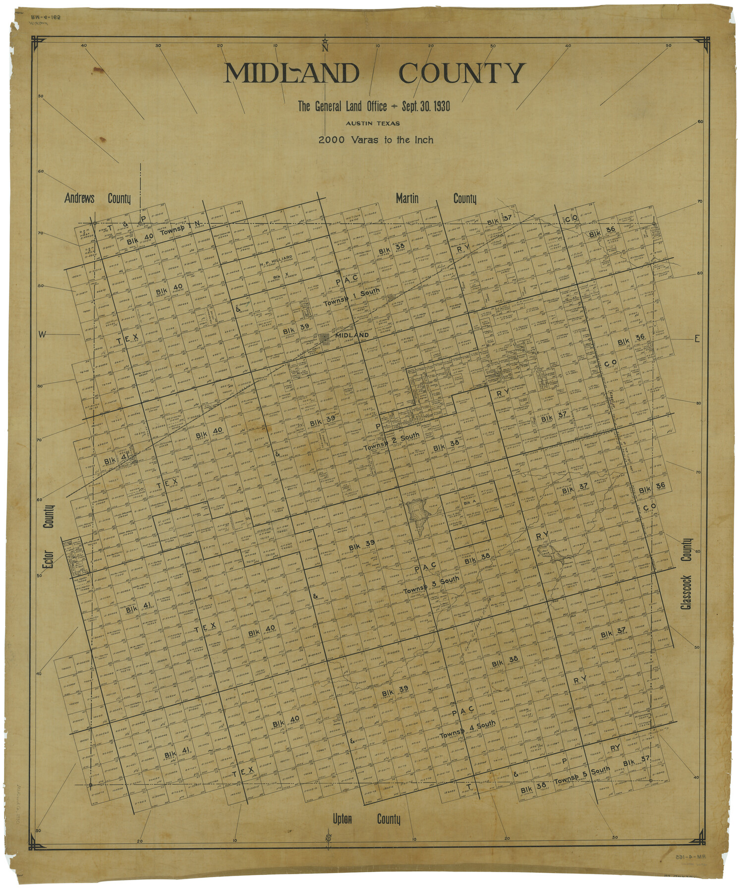
Midland County
RM-4-165
-
Map/Doc
66930
-
Collection
General Map Collection
-
Object Dates
9/30/1930 (Creation Date)
-
People and Organizations
Texas General Land Office (Publisher)
-
Counties
Midland
-
Subjects
County
-
Height x Width
45.7 x 39.6 inches
116.1 x 100.6 cm
Part of: General Map Collection
Childress County

Print $20.00
- Digital $50.00
Childress County
1921
Size 43.8 x 32.6 inches
Map/Doc 66753
Shackelford County Working Sketch 8

Print $20.00
- Digital $50.00
Shackelford County Working Sketch 8
1973
Size 31.9 x 28.7 inches
Map/Doc 63848
Uvalde County Working Sketch 54

Print $20.00
- Digital $50.00
Uvalde County Working Sketch 54
1983
Size 39.6 x 32.3 inches
Map/Doc 72124
University Lands Blocks 21 to 26, Pecos County, Texas

Print $20.00
- Digital $50.00
University Lands Blocks 21 to 26, Pecos County, Texas
1939
Size 46.1 x 36.8 inches
Map/Doc 2416
Webb County Working Sketch 40

Print $20.00
- Digital $50.00
Webb County Working Sketch 40
1941
Size 19.6 x 20.6 inches
Map/Doc 72405
Cameron County Rolled Sketch 19

Print $20.00
- Digital $50.00
Cameron County Rolled Sketch 19
Size 27.1 x 24.3 inches
Map/Doc 5388

Ward County Rolled Sketch 3

Print $40.00
- Digital $50.00
Ward County Rolled Sketch 3
Size 65.3 x 25.7 inches
Map/Doc 10101
Dallam County Sketch File 2

Print $260.00
- Digital $50.00
Dallam County Sketch File 2
1886
Size 29.9 x 17.4 inches
Map/Doc 11278
[Surveys along the Liberty and Hardin County line]
![295, [Surveys along the Liberty and Hardin County line], General Map Collection](https://historictexasmaps.com/wmedia_w700/maps/295.tif.jpg)
Print $2.00
- Digital $50.00
[Surveys along the Liberty and Hardin County line]
1847
Size 13.5 x 7.7 inches
Map/Doc 295
Mitchell County Sketch File 15

Print $20.00
- Digital $50.00
Mitchell County Sketch File 15
1931
Size 19.2 x 19.6 inches
Map/Doc 12102
Hansford County Working Sketch 2

Print $40.00
- Digital $50.00
Hansford County Working Sketch 2
1934
Size 42.7 x 54.4 inches
Map/Doc 63374
You may also like
Hill County Sketch File 22a

Print $6.00
- Digital $50.00
Hill County Sketch File 22a
1861
Size 11.3 x 9.0 inches
Map/Doc 26509
Moore County Rolled Sketch 13

Print $20.00
- Digital $50.00
Moore County Rolled Sketch 13
1920
Size 25.8 x 33.3 inches
Map/Doc 6829
Morris County Rolled Sketch 1

Print $20.00
- Digital $50.00
Morris County Rolled Sketch 1
1942
Size 23.7 x 24.9 inches
Map/Doc 6835
Collin County Boundary File 18f

Print $22.00
- Digital $50.00
Collin County Boundary File 18f
Size 12.9 x 8.2 inches
Map/Doc 51757
Harrison County Sketch File 3

Print $8.00
- Digital $50.00
Harrison County Sketch File 3
Size 13.0 x 8.3 inches
Map/Doc 26036
[Sketch of Surveys on San Antonio Road]
![41, [Sketch of Surveys on San Antonio Road], General Map Collection](https://historictexasmaps.com/wmedia_w700/maps/41.tif.jpg)
Print $20.00
- Digital $50.00
[Sketch of Surveys on San Antonio Road]
1840
Size 20.6 x 15.4 inches
Map/Doc 41
Comanche County Working Sketch 20

Print $20.00
- Digital $50.00
Comanche County Working Sketch 20
1973
Size 20.5 x 15.6 inches
Map/Doc 68154
Wilbarger Co.

Print $40.00
- Digital $50.00
Wilbarger Co.
1949
Size 48.2 x 38.8 inches
Map/Doc 95674
Shelby County Sketch File 25

Print $6.00
- Digital $50.00
Shelby County Sketch File 25
Size 4.8 x 5.3 inches
Map/Doc 36657
Buffalo Bayou and the Houston Ship Channel 1820-1926

Buffalo Bayou and the Houston Ship Channel 1820-1926
1926
Size 6.2 x 9.1 inches
Map/Doc 97071
Hardin County Sketch File 12a

Print $4.00
- Digital $50.00
Hardin County Sketch File 12a
1866
Size 6.6 x 7.4 inches
Map/Doc 25118
Goliad County Sketch File 41

Print $20.00
- Digital $50.00
Goliad County Sketch File 41
1958
Size 25.2 x 35.3 inches
Map/Doc 11573