[Sketch of Surveys on San Antonio Road]
Atlas E, Page 9, Sketch 3 (E-9-3)
E-9-3
-
Map/Doc
41
-
Collection
General Map Collection
-
Object Dates
1840 (Creation Date)
-
Counties
Burleson
-
Subjects
Atlas
-
Height x Width
20.6 x 15.4 inches
52.3 x 39.1 cm
-
Medium
paper, manuscript
-
Comments
Conserved in 2004.
-
Features
Rio Brazos
Sant Dutonio [sic] Rode [sic]
Part of: General Map Collection
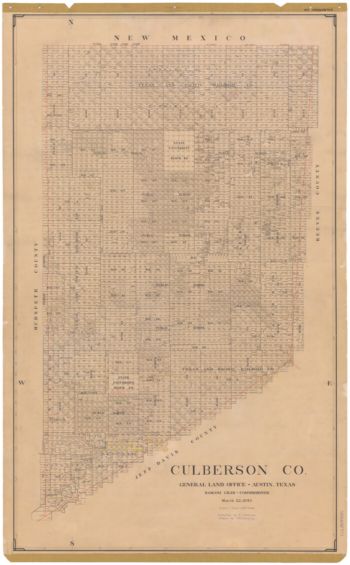
Culberson Co.

Print $40.00
- Digital $50.00
Culberson Co.
1943
Size 52.2 x 33.2 inches
Map/Doc 73124
Flight Mission No. DQN-1K, Frame 122, Calhoun County


Print $20.00
- Digital $50.00
Flight Mission No. DQN-1K, Frame 122, Calhoun County
1953
Size 18.5 x 22.2 inches
Map/Doc 84188
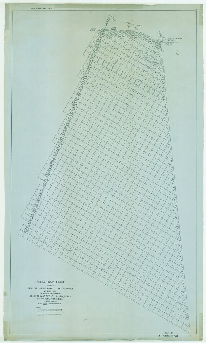
Texas Gulf Coast Map from the Sabine River to the Rio Grande as subdivided for mineral development

Print $40.00
- Digital $50.00
Texas Gulf Coast Map from the Sabine River to the Rio Grande as subdivided for mineral development
1948
Size 60.9 x 36.7 inches
Map/Doc 2909
Gray County Sketch File 12
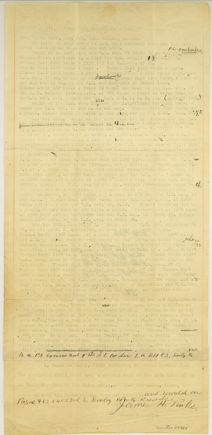

Print $6.00
- Digital $50.00
Gray County Sketch File 12
1889
Size 17.0 x 8.3 inches
Map/Doc 24454
Armstrong County Working Sketch 7
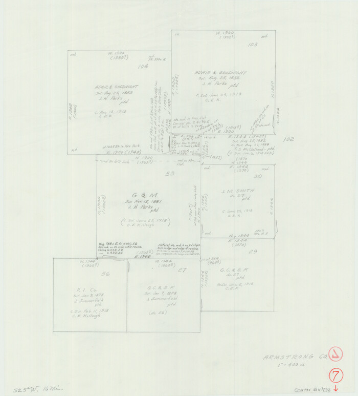

Print $20.00
- Digital $50.00
Armstrong County Working Sketch 7
Size 18.1 x 16.4 inches
Map/Doc 67238
A General Map of the Middle British Colonies, in America. containing Virginia, Maryland, the Delaware Counties, Pennsylvania and New Jersey. With the addition of New York and of the Greatest Part of New England


Print $20.00
- Digital $50.00
A General Map of the Middle British Colonies, in America. containing Virginia, Maryland, the Delaware Counties, Pennsylvania and New Jersey. With the addition of New York and of the Greatest Part of New England
1776
Size 21.6 x 27.2 inches
Map/Doc 97402
Plano General de los Ferrocarriles Nacionales de Mexico, F.C. Internacional Mexicano, F.C. Interoceanico de Mexico, F.C. Mexicano del sur y sus Conexiones


Print $20.00
- Digital $50.00
Plano General de los Ferrocarriles Nacionales de Mexico, F.C. Internacional Mexicano, F.C. Interoceanico de Mexico, F.C. Mexicano del sur y sus Conexiones
1910
Size 27.8 x 32.5 inches
Map/Doc 95743
Pecos County Working Sketch 122
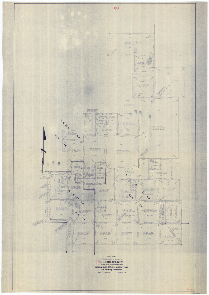

Print $40.00
- Digital $50.00
Pecos County Working Sketch 122
1973
Size 51.9 x 36.7 inches
Map/Doc 71595
Fractional Township No. 8 South Range No. 15 East of the Indian Meridian, Indian Territory


Print $20.00
- Digital $50.00
Fractional Township No. 8 South Range No. 15 East of the Indian Meridian, Indian Territory
1896
Size 19.1 x 24.3 inches
Map/Doc 75227
Knox County Rolled Sketch 18


Print $20.00
- Digital $50.00
Knox County Rolled Sketch 18
1945
Size 23.1 x 29.5 inches
Map/Doc 6558
Martin County Working Sketch 2


Print $20.00
- Digital $50.00
Martin County Working Sketch 2
1944
Size 27.5 x 20.9 inches
Map/Doc 70820
You may also like
[T. & P. Blocks 33 and 34, Townships 4N and 5N]
![90625, [T. & P. Blocks 33 and 34, Townships 4N and 5N], Twichell Survey Records](https://historictexasmaps.com/wmedia_w700/maps/90625-1.tif.jpg)
![90625, [T. & P. Blocks 33 and 34, Townships 4N and 5N], Twichell Survey Records](https://historictexasmaps.com/wmedia_w700/maps/90625-1.tif.jpg)
Print $20.00
- Digital $50.00
[T. & P. Blocks 33 and 34, Townships 4N and 5N]
Size 14.4 x 17.7 inches
Map/Doc 90625
Brewster County Sketch File NS-X
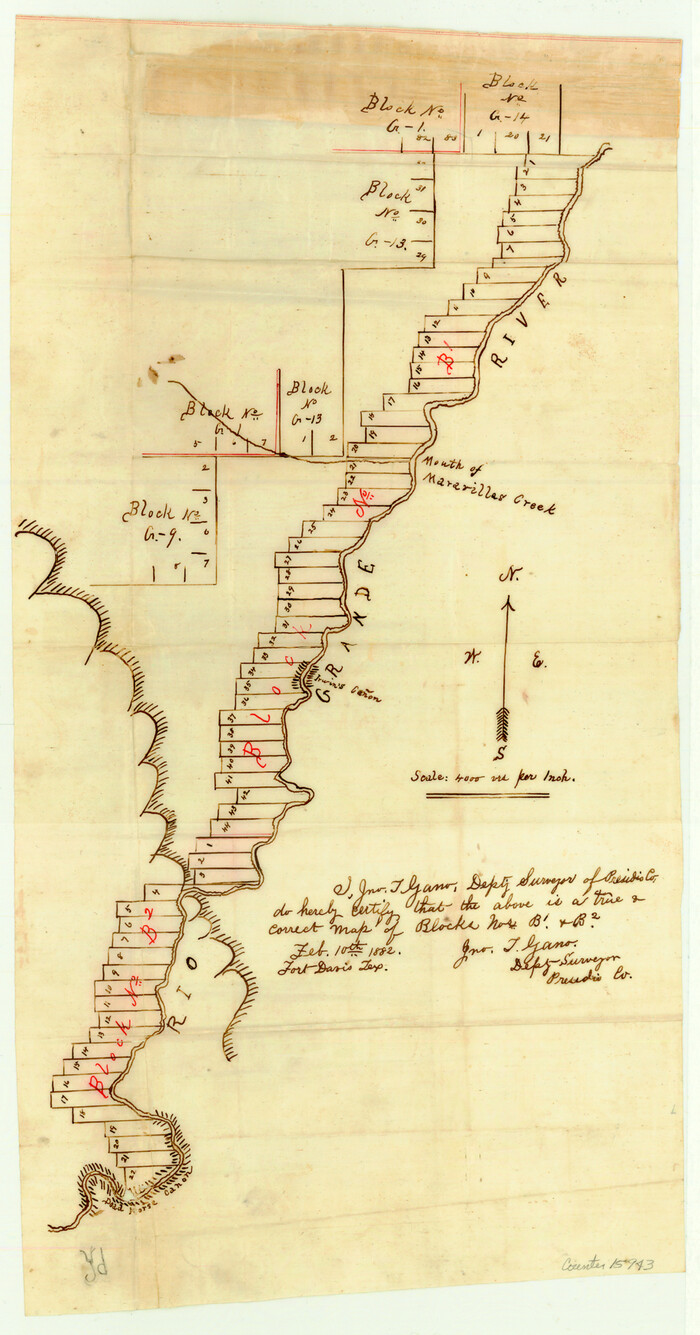

Print $42.00
- Digital $50.00
Brewster County Sketch File NS-X
1882
Size 20.1 x 10.5 inches
Map/Doc 15943
Brewster County Sketch File S-29a
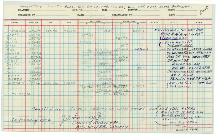

Print $4.00
- Digital $50.00
Brewster County Sketch File S-29a
1972
Size 9.1 x 14.5 inches
Map/Doc 15848
Cameron County Rolled Sketch 25


Print $20.00
- Digital $50.00
Cameron County Rolled Sketch 25
1977
Size 24.8 x 36.8 inches
Map/Doc 5792
Webb County Rolled Sketch 38


Print $20.00
- Digital $50.00
Webb County Rolled Sketch 38
1940
Size 22.2 x 16.0 inches
Map/Doc 8193
Willie Winn Tract
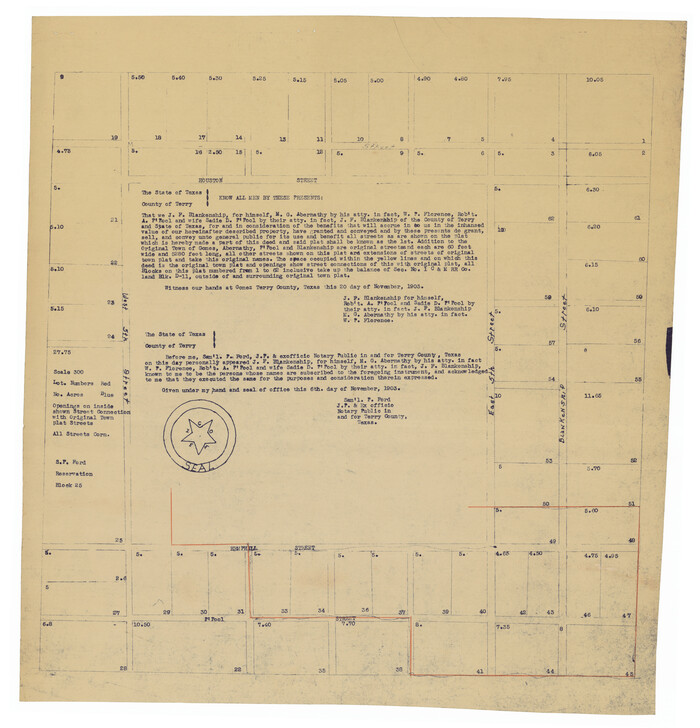

Print $20.00
- Digital $50.00
Willie Winn Tract
1903
Size 13.2 x 14.1 inches
Map/Doc 92286
Map of South America engraved to illustrate Mitchell's new intermediate geography


Print $20.00
- Digital $50.00
Map of South America engraved to illustrate Mitchell's new intermediate geography
1885
Size 12.2 x 9.0 inches
Map/Doc 93525
Webb County Working Sketch 94


Print $20.00
- Digital $50.00
Webb County Working Sketch 94
1989
Size 23.1 x 25.6 inches
Map/Doc 72461
Wood County Working Sketch 10
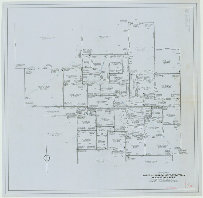

Print $20.00
- Digital $50.00
Wood County Working Sketch 10
1943
Size 29.6 x 30.4 inches
Map/Doc 62010
Intrenched depot of the army of occupation at Point Isabel, Texas
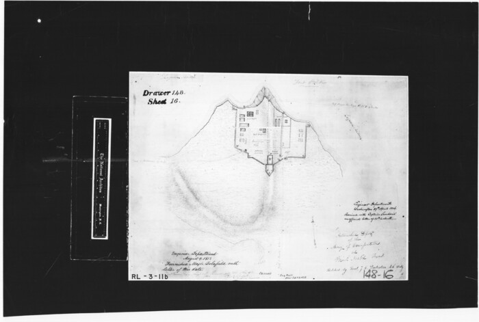

Print $20.00
- Digital $50.00
Intrenched depot of the army of occupation at Point Isabel, Texas
1846
Size 17.0 x 25.2 inches
Map/Doc 72922
Austin County Boundary File 1
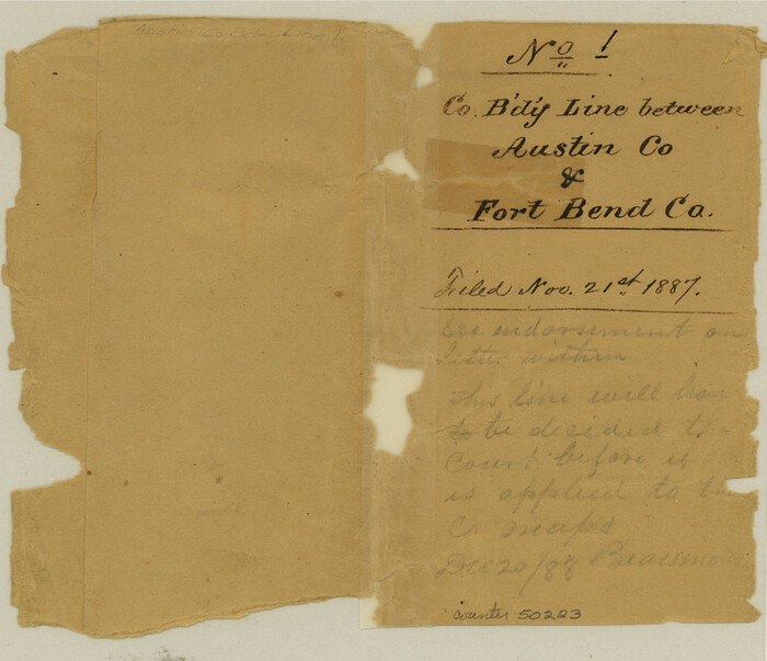

Print $44.00
- Digital $50.00
Austin County Boundary File 1
Size 7.0 x 8.2 inches
Map/Doc 50223
![41, [Sketch of Surveys on San Antonio Road], General Map Collection](https://historictexasmaps.com/wmedia_w1800h1800/maps/41.tif.jpg)
