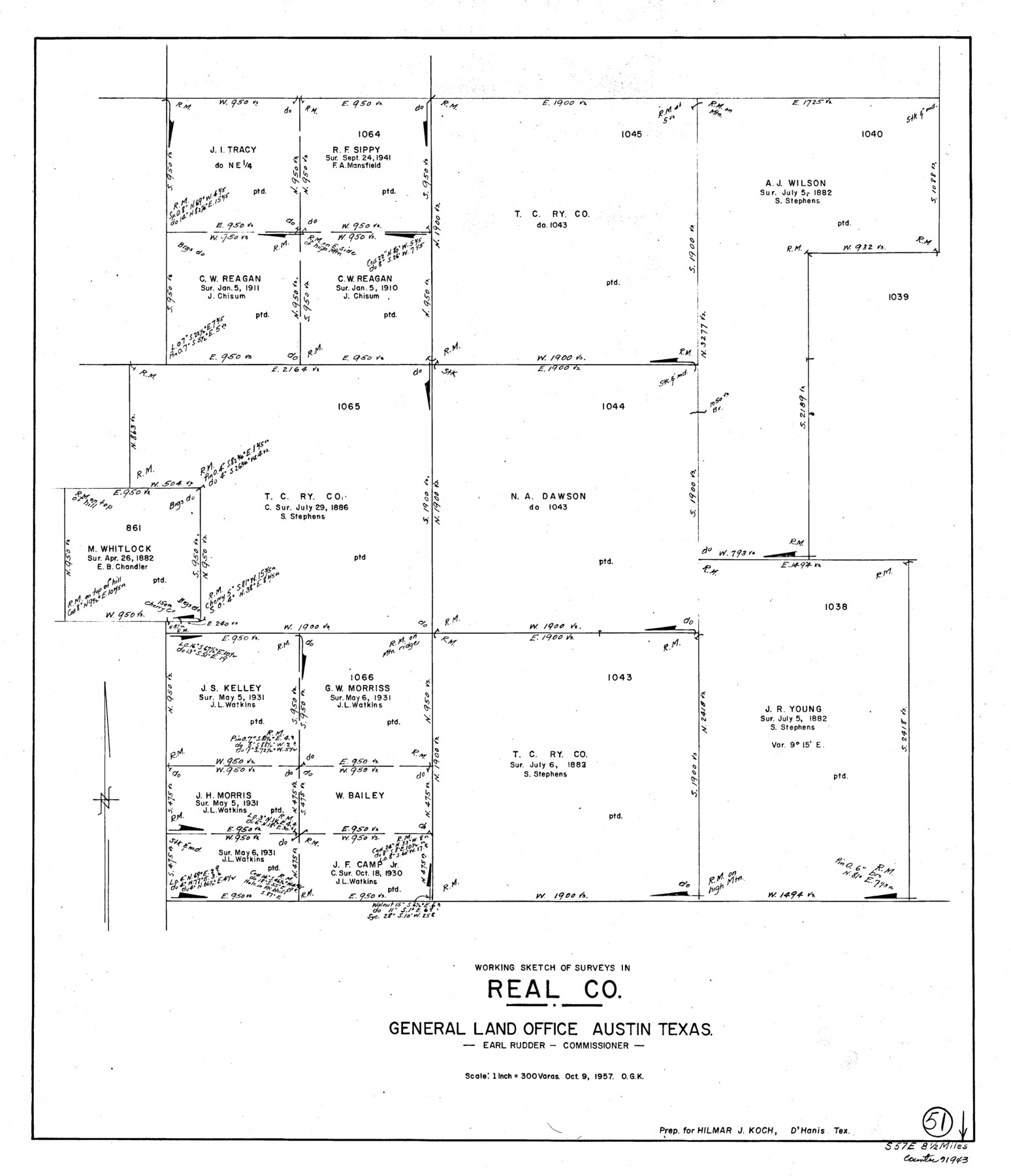
Real County Working Sketch 51
-
Map/Doc
71943
-
Collection
General Map Collection
-
Object Dates
10/9/1957 (Creation Date)
-
People and Organizations
Otto G. Kurio (Draftsman)
-
Counties
Real
-
Subjects
Surveying Working Sketch
-
Height x Width
28.1 x 24.1 inches
71.4 x 61.2 cm
-
Scale
1" = 300 varas
Part of: General Map Collection
Flight Mission No. DQO-8K, Frame 143, Galveston County

Print $20.00
- Digital $50.00
Flight Mission No. DQO-8K, Frame 143, Galveston County
1952
Size 18.6 x 22.5 inches
Map/Doc 85205
Orange County Sketch File 23

Print $36.00
- Digital $50.00
Orange County Sketch File 23
1911
Size 9.2 x 5.9 inches
Map/Doc 33344
Grimes County Working Sketch 3

Print $20.00
- Digital $50.00
Grimes County Working Sketch 3
1946
Size 34.1 x 29.1 inches
Map/Doc 63294
Kendall County Working Sketch 15

Print $20.00
- Digital $50.00
Kendall County Working Sketch 15
1967
Size 41.4 x 40.7 inches
Map/Doc 66687
Fisher County Sketch File 15a

Print $10.00
- Digital $50.00
Fisher County Sketch File 15a
1901
Size 7.6 x 9.0 inches
Map/Doc 22578
Old Miscellaneous File 2

Print $16.00
- Digital $50.00
Old Miscellaneous File 2
1838
Size 13.0 x 8.0 inches
Map/Doc 75406
Burnet County Sketch File 19

Print $4.00
- Digital $50.00
Burnet County Sketch File 19
1859
Size 11.6 x 8.2 inches
Map/Doc 16710
Newton County Sketch File 48

Print $4.00
- Digital $50.00
Newton County Sketch File 48
Size 12.4 x 7.9 inches
Map/Doc 32460
Travis County State Real Property Sketch 5

Print $20.00
- Digital $50.00
Travis County State Real Property Sketch 5
1990
Size 25.4 x 37.5 inches
Map/Doc 61696
Schleicher County Rolled Sketch 24

Print $20.00
- Digital $50.00
Schleicher County Rolled Sketch 24
Size 29.1 x 15.9 inches
Map/Doc 7763
Pecos County Sketch File 83

Print $6.00
- Digital $50.00
Pecos County Sketch File 83
1884
Size 11.3 x 8.7 inches
Map/Doc 33950
Lubbock County Boundary File 11

Print $68.00
- Digital $50.00
Lubbock County Boundary File 11
Size 14.7 x 9.2 inches
Map/Doc 56583
You may also like
Panola County Rolled Sketch 6

Print $40.00
- Digital $50.00
Panola County Rolled Sketch 6
1956
Size 26.0 x 55.7 inches
Map/Doc 9679
Fannin County Sketch File 24

Print $4.00
- Digital $50.00
Fannin County Sketch File 24
Size 13.2 x 8.6 inches
Map/Doc 22491
Flight Mission No. DAG-24K, Frame 154, Matagorda County

Print $20.00
- Digital $50.00
Flight Mission No. DAG-24K, Frame 154, Matagorda County
1953
Size 18.5 x 22.2 inches
Map/Doc 86568

Hardin County Sketch File 66

Print $20.00
- Digital $50.00
Hardin County Sketch File 66
1948
Size 19.5 x 35.8 inches
Map/Doc 11639
Reeves County Working Sketch 22

Print $20.00
- Digital $50.00
Reeves County Working Sketch 22
1966
Size 31.2 x 46.8 inches
Map/Doc 63465
Dawson County Rolled Sketch 14

Print $20.00
- Digital $50.00
Dawson County Rolled Sketch 14
1989
Size 22.6 x 35.7 inches
Map/Doc 5697
[Part of Block K4]
![90526, [Part of Block K4], Twichell Survey Records](https://historictexasmaps.com/wmedia_w700/maps/90526-1.tif.jpg)
Print $3.00
- Digital $50.00
[Part of Block K4]
Size 9.6 x 11.7 inches
Map/Doc 90526
Map of the Lands Surveyed by the Memphis, El Paso & Pacific R.R. Company

Print $20.00
- Digital $50.00
Map of the Lands Surveyed by the Memphis, El Paso & Pacific R.R. Company
1859
Size 13.9 x 21.3 inches
Map/Doc 4849
Galveston County Aerial Photograph Index Sheet 2

Print $20.00
- Digital $50.00
Galveston County Aerial Photograph Index Sheet 2
1953
Size 21.2 x 19.5 inches
Map/Doc 83693
Kendall County Sketch File 8

Print $4.00
- Digital $50.00
Kendall County Sketch File 8
1879
Size 10.1 x 8.0 inches
Map/Doc 28690
Intracoastal Waterway in Texas - Corpus Christi to Point Isabel including Arroyo Colorado to Mo. Pac. R.R. Bridge Near Harlingen

Print $20.00
- Digital $50.00
Intracoastal Waterway in Texas - Corpus Christi to Point Isabel including Arroyo Colorado to Mo. Pac. R.R. Bridge Near Harlingen
1933
Size 40.9 x 27.8 inches
Map/Doc 61874