Lubbock County Boundary File 11
Lubbock-Hockley County Line
-
Map/Doc
56583
-
Collection
General Map Collection
-
Counties
Lubbock
-
Subjects
County Boundaries
-
Height x Width
14.7 x 9.2 inches
37.3 x 23.4 cm
Part of: General Map Collection
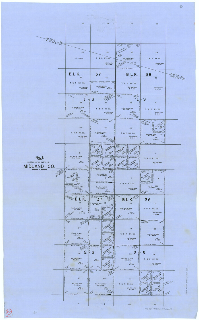
Midland County Working Sketch 2

Print $20.00
- Digital $50.00
Midland County Working Sketch 2
Size 40.4 x 25.2 inches
Map/Doc 70982
Palo Pinto County Rolled Sketch 4


Print $20.00
- Digital $50.00
Palo Pinto County Rolled Sketch 4
Size 15.9 x 23.2 inches
Map/Doc 7189
Clay County Boundary File 16


Print $56.00
- Digital $50.00
Clay County Boundary File 16
Size 9.1 x 3.7 inches
Map/Doc 51422
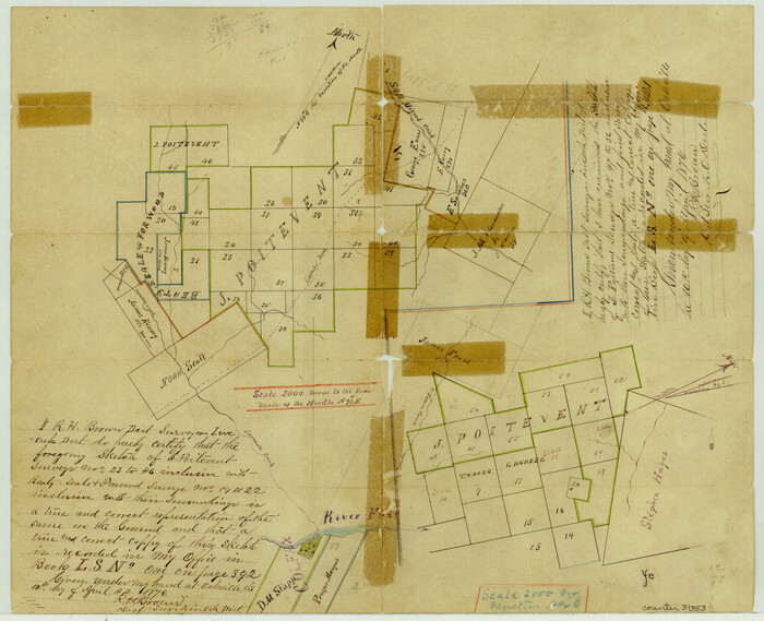
McMullen County Sketch File 10

Print $40.00
- Digital $50.00
McMullen County Sketch File 10
1876
Size 14.3 x 17.6 inches
Map/Doc 31353
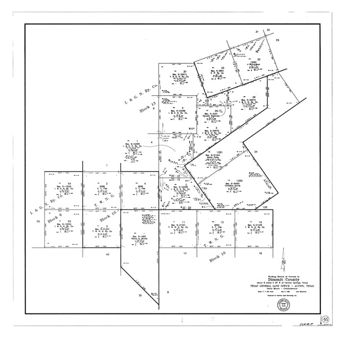
Dimmit County Working Sketch 55

Print $20.00
- Digital $50.00
Dimmit County Working Sketch 55
1996
Size 33.7 x 34.3 inches
Map/Doc 68716
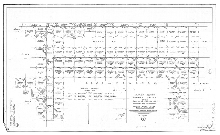
Gaines County Working Sketch 6

Print $20.00
- Digital $50.00
Gaines County Working Sketch 6
1940
Size 25.0 x 40.8 inches
Map/Doc 69306
Victoria County Sketch File 7
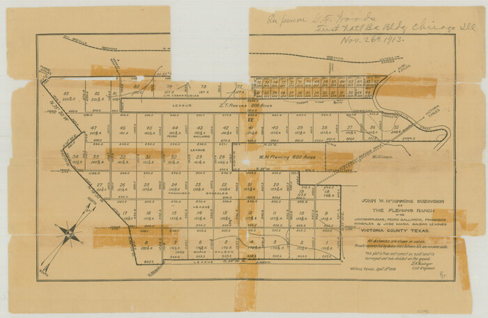

Print $6.00
- Digital $50.00
Victoria County Sketch File 7
1908
Size 11.4 x 17.4 inches
Map/Doc 12596
Leon County Working Sketch 51


Print $40.00
- Digital $50.00
Leon County Working Sketch 51
1982
Size 31.5 x 54.6 inches
Map/Doc 70450
Wilbarger County Working Sketch 2b
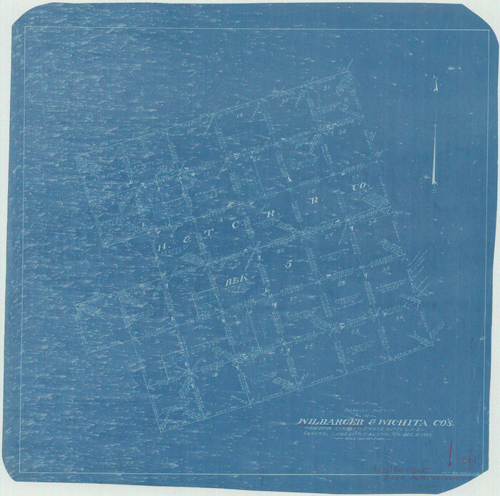

Print $20.00
- Digital $50.00
Wilbarger County Working Sketch 2b
1922
Size 19.8 x 20.0 inches
Map/Doc 72540
Louisiana and Texas Intracoastal Waterway - Matagorda-Espiritu Santo and San Antonio Bays, Section 8-9, Survey of 1927-8 - Index Sheet 3
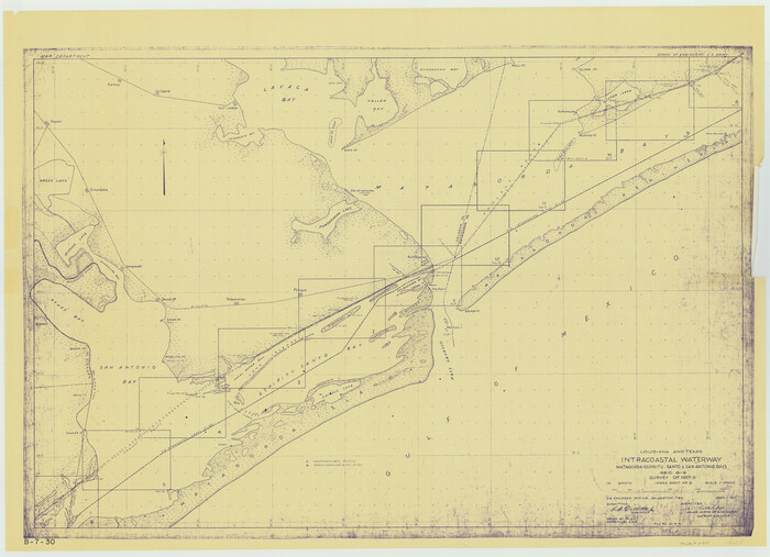

Print $20.00
- Digital $50.00
Louisiana and Texas Intracoastal Waterway - Matagorda-Espiritu Santo and San Antonio Bays, Section 8-9, Survey of 1927-8 - Index Sheet 3
1929
Size 31.0 x 42.8 inches
Map/Doc 61837
Presidio County Sketch File 54
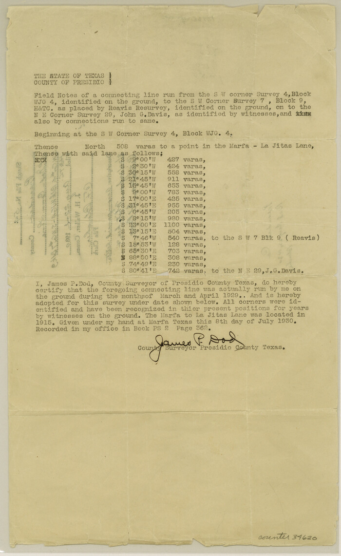

Print $4.00
- Digital $50.00
Presidio County Sketch File 54
Size 14.3 x 8.8 inches
Map/Doc 34620
Blanco County Working Sketch 34
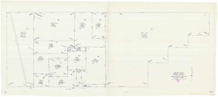

Print $40.00
- Digital $50.00
Blanco County Working Sketch 34
1978
Size 36.3 x 79.6 inches
Map/Doc 67394
You may also like
[Scripture Addition to the City of Denton]
![90586, [Scripture Addition to the City of Denton], Twichell Survey Records](https://historictexasmaps.com/wmedia_w700/maps/90586-1.tif.jpg)
![90586, [Scripture Addition to the City of Denton], Twichell Survey Records](https://historictexasmaps.com/wmedia_w700/maps/90586-1.tif.jpg)
Print $20.00
- Digital $50.00
[Scripture Addition to the City of Denton]
Size 35.4 x 31.4 inches
Map/Doc 90586
Gonzales County Boundary File 34 (9)


Print $18.00
- Digital $50.00
Gonzales County Boundary File 34 (9)
Size 8.5 x 3.9 inches
Map/Doc 53836
Zapata County Rolled Sketch 22


Print $20.00
- Digital $50.00
Zapata County Rolled Sketch 22
1958
Size 29.2 x 21.5 inches
Map/Doc 8317
Carden L. Green Farm Part Sections 13 & 22, Block JS


Print $20.00
- Digital $50.00
Carden L. Green Farm Part Sections 13 & 22, Block JS
Size 14.0 x 24.1 inches
Map/Doc 92324
Cameron County Rolled Sketch 19
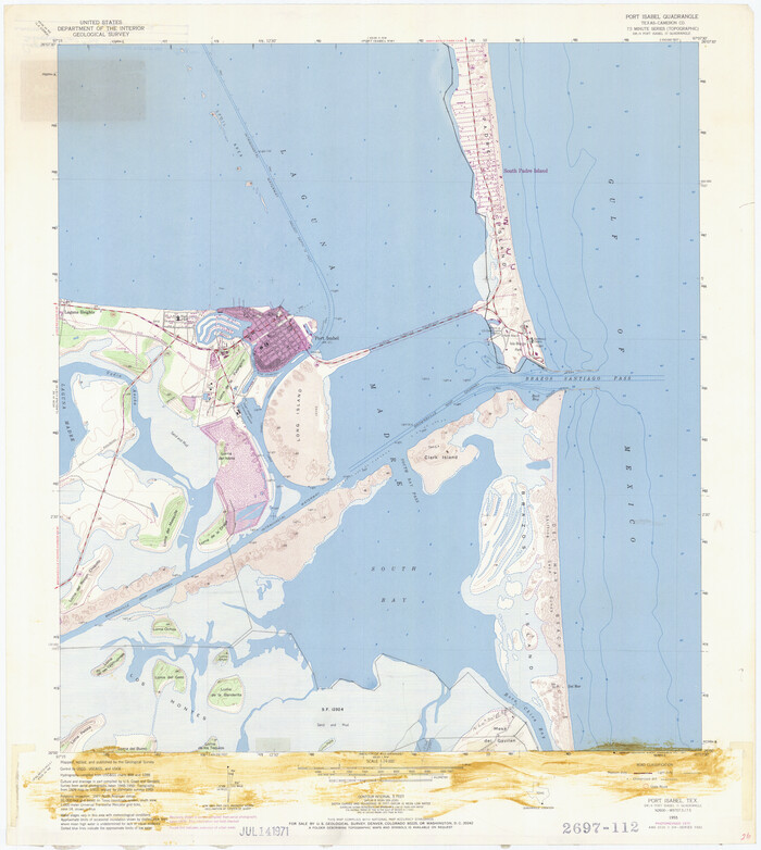

Print $20.00
- Digital $50.00
Cameron County Rolled Sketch 19
Size 27.1 x 24.3 inches
Map/Doc 5388
Dallas County Sketch File 7


Print $4.00
- Digital $50.00
Dallas County Sketch File 7
1858
Size 10.4 x 8.5 inches
Map/Doc 20408
Val Verde County Working Sketch 22
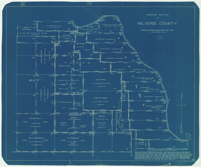

Print $20.00
- Digital $50.00
Val Verde County Working Sketch 22
1931
Size 27.6 x 33.0 inches
Map/Doc 72157
Brewster County Sketch File 48
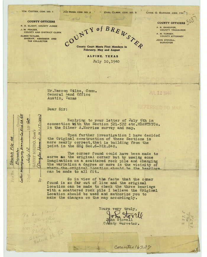

Print $4.00
- Digital $50.00
Brewster County Sketch File 48
1940
Size 11.4 x 9.2 inches
Map/Doc 16327
Map of Cameron County Drainage District Number One


Print $20.00
- Digital $50.00
Map of Cameron County Drainage District Number One
1929
Size 46.6 x 31.0 inches
Map/Doc 94245
Starr County Working Sketch 23
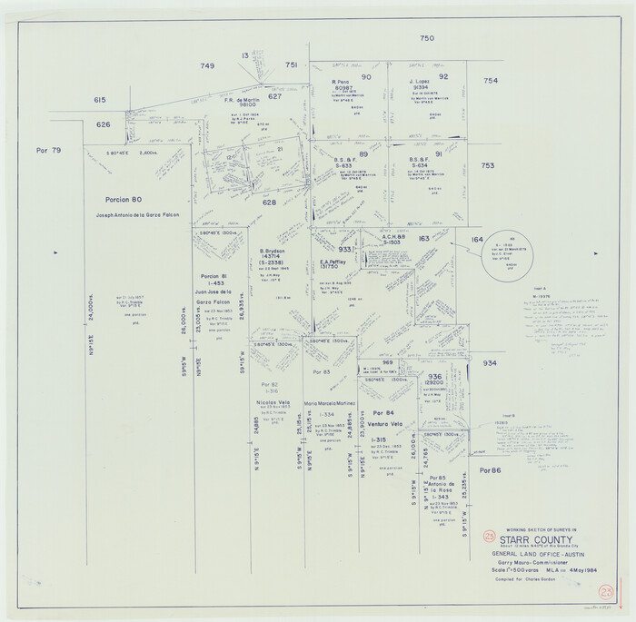

Print $20.00
- Digital $50.00
Starr County Working Sketch 23
1984
Size 29.9 x 30.6 inches
Map/Doc 63939
Flight Mission No. CRC-3R, Frame 54, Chambers County


Print $20.00
- Digital $50.00
Flight Mission No. CRC-3R, Frame 54, Chambers County
1956
Size 18.7 x 22.4 inches
Map/Doc 84826
Fort Bend County Working Sketch 1
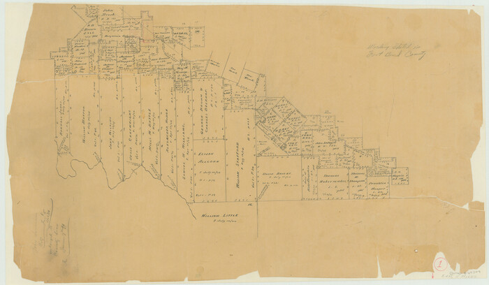

Print $20.00
- Digital $50.00
Fort Bend County Working Sketch 1
Size 16.0 x 27.4 inches
Map/Doc 69207
