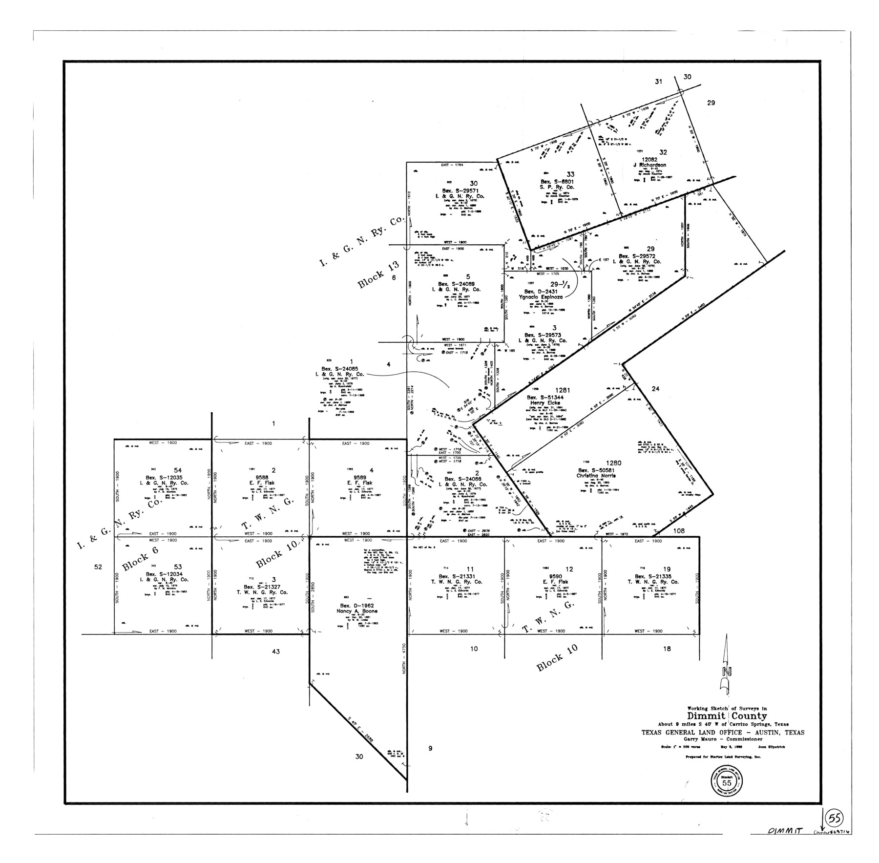
Dimmit County Working Sketch 55
-
Map/Doc
68716
-
Collection
General Map Collection
-
Object Dates
5/3/1996 (Creation Date)
-
People and Organizations
Joan Kilpatrick (Draftsman)
-
Counties
Dimmit
-
Subjects
Surveying Working Sketch
-
Height x Width
33.7 x 34.3 inches
85.6 x 87.1 cm
-
Scale
1" = 500 varas
Part of: General Map Collection
Harris County Rolled Sketch 93

Print $20.00
- Digital $50.00
Harris County Rolled Sketch 93
1983
Size 45.0 x 40.2 inches
Map/Doc 9142
Val Verde County Sketch File A

Print $20.00
- Digital $50.00
Val Verde County Sketch File A
1878
Size 25.6 x 16.0 inches
Map/Doc 12538
Crockett County Sketch File 85

Print $6.00
- Digital $50.00
Crockett County Sketch File 85
1952
Size 33.7 x 31.2 inches
Map/Doc 10345
Hale County Working Sketch 2

Print $20.00
- Digital $50.00
Hale County Working Sketch 2
1916
Size 13.5 x 13.1 inches
Map/Doc 63322
Flight Mission No. BRE-2P, Frame 71, Nueces County

Print $20.00
- Digital $50.00
Flight Mission No. BRE-2P, Frame 71, Nueces County
1956
Size 18.4 x 22.6 inches
Map/Doc 86766
Flight Mission No. BQR-9K, Frame 14, Brazoria County

Print $20.00
- Digital $50.00
Flight Mission No. BQR-9K, Frame 14, Brazoria County
1952
Size 18.7 x 22.3 inches
Map/Doc 84043
Edwards County Rolled Sketch 20

Print $20.00
- Digital $50.00
Edwards County Rolled Sketch 20
1947
Size 31.6 x 40.4 inches
Map/Doc 8844
Chambers County Working Sketch 12

Print $20.00
- Digital $50.00
Chambers County Working Sketch 12
1954
Size 35.2 x 33.8 inches
Map/Doc 67995
Grayson County Working Sketch 3

Print $20.00
- Digital $50.00
Grayson County Working Sketch 3
1939
Size 28.2 x 40.5 inches
Map/Doc 63242
Leon County Sketch File 32

Print $4.00
- Digital $50.00
Leon County Sketch File 32
1955
Size 14.2 x 8.7 inches
Map/Doc 29832
Atascosa County Boundary File 6

Print $34.00
- Digital $50.00
Atascosa County Boundary File 6
Size 9.1 x 23.0 inches
Map/Doc 50205
Pecos County Sketch File 28a

Print $20.00
- Digital $50.00
Pecos County Sketch File 28a
Size 24.3 x 26.6 inches
Map/Doc 12169
You may also like
Menard County Working Sketch 6

Print $20.00
- Digital $50.00
Menard County Working Sketch 6
1924
Size 24.4 x 15.3 inches
Map/Doc 70953
Roberts County

Print $20.00
- Digital $50.00
Roberts County
1932
Size 41.9 x 38.0 inches
Map/Doc 73275
Sulphur River, Harts Bluff Sheet

Print $3.00
- Digital $50.00
Sulphur River, Harts Bluff Sheet
1919
Size 13.1 x 18.0 inches
Map/Doc 78329
Bell County Sketch File 1

Print $40.00
- Digital $50.00
Bell County Sketch File 1
1847
Size 14.7 x 12.4 inches
Map/Doc 14365
Flight Mission No. DQO-12K, Frame 41, Galveston County

Print $20.00
- Digital $50.00
Flight Mission No. DQO-12K, Frame 41, Galveston County
1952
Size 18.6 x 22.4 inches
Map/Doc 85231
Matagorda County Rolled Sketch 24

Print $40.00
- Digital $50.00
Matagorda County Rolled Sketch 24
1945
Size 53.2 x 29.6 inches
Map/Doc 9478
Childress County

Print $20.00
- Digital $50.00
Childress County
1892
Size 24.7 x 19.6 inches
Map/Doc 3391
Liberty County Sketch File 16

Print $4.00
- Digital $50.00
Liberty County Sketch File 16
1859
Size 11.4 x 6.7 inches
Map/Doc 29917
McLennan County Sketch File 41

Print $44.00
- Digital $50.00
McLennan County Sketch File 41
1963
Size 11.1 x 8.6 inches
Map/Doc 31319
Collingsworth County

Print $20.00
- Digital $50.00
Collingsworth County
1971
Size 42.7 x 35.8 inches
Map/Doc 95460
Andrews County Rolled Sketch 42

Print $20.00
- Digital $50.00
Andrews County Rolled Sketch 42
Size 27.3 x 36.0 inches
Map/Doc 77182
Wharton County Sketch File 1

Print $6.00
- Digital $50.00
Wharton County Sketch File 1
Size 10.6 x 8.7 inches
Map/Doc 39910