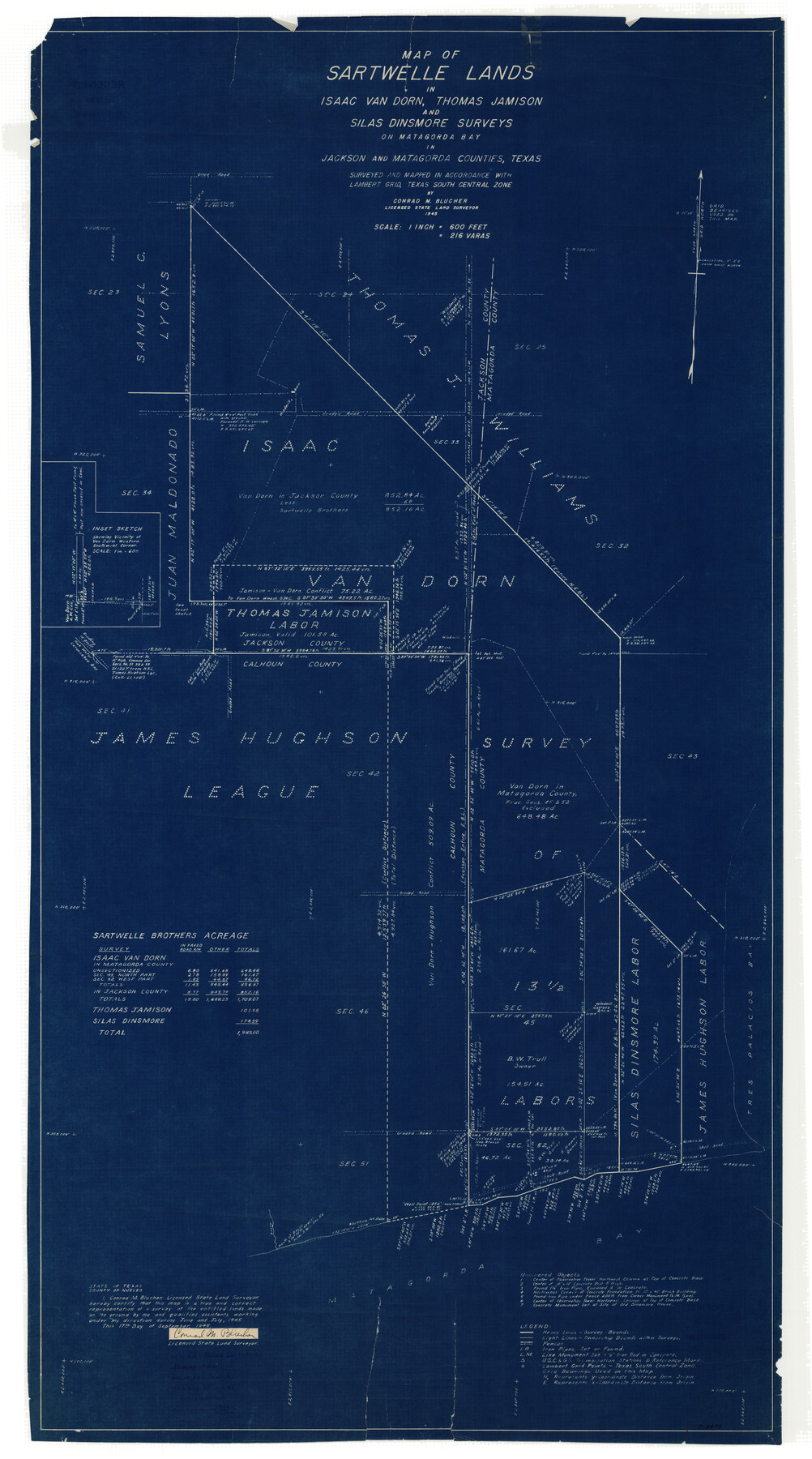
Matagorda County Rolled Sketch 24
Map of Sartwelle Lands in Isaac Van Dorn, Thomas Jamison, and Silas Dinsmore surveys on Matagorda Bay in Jackson and Matagorda Counties, Texas
-
Map/Doc
9478
-
Collection
General Map Collection
-
Object Dates
1945/9/17 (Creation Date)
1947/7/25 (File Date)
-
People and Organizations
Conrad M. Blucher (Surveyor/Engineer)
-
Counties
Matagorda
-
Subjects
Surveying Rolled Sketch
-
Height x Width
53.2 x 29.6 inches
135.1 x 75.2 cm
-
Medium
blueprint/diazo
-
Scale
1" = 216 varas
Part of: General Map Collection
Williamson County Sketch File 16a

Print $4.00
- Digital $50.00
Williamson County Sketch File 16a
1870
Size 7.0 x 8.4 inches
Map/Doc 40336
San Jacinto County Rolled Sketch 14

Print $20.00
- Digital $50.00
San Jacinto County Rolled Sketch 14
1998
Size 28.1 x 40.0 inches
Map/Doc 7564
Haskell County Working Sketch 16

Print $20.00
- Digital $50.00
Haskell County Working Sketch 16
1986
Size 37.9 x 47.3 inches
Map/Doc 66074
Edwards County Rolled Sketch 18

Print $20.00
- Digital $50.00
Edwards County Rolled Sketch 18
1947
Size 21.8 x 21.2 inches
Map/Doc 5807
Wood County Sketch File 3

Print $4.00
- Digital $50.00
Wood County Sketch File 3
1848
Size 10.1 x 8.1 inches
Map/Doc 40633
United States - Gulf Coast - Aransas Pass and Corpus Christi Bay with the coast to latitude 27° 12' Texas

Print $20.00
- Digital $50.00
United States - Gulf Coast - Aransas Pass and Corpus Christi Bay with the coast to latitude 27° 12' Texas
1913
Size 27.5 x 18.3 inches
Map/Doc 72794
Flight Mission No. BRE-2P, Frame 110, Nueces County

Print $20.00
- Digital $50.00
Flight Mission No. BRE-2P, Frame 110, Nueces County
1956
Size 18.6 x 22.6 inches
Map/Doc 86796
Ward County Boundary File 3

Print $18.00
- Digital $50.00
Ward County Boundary File 3
Size 14.4 x 8.8 inches
Map/Doc 59675
[Map of Navarro County]
![81900, [Map of Navarro County], General Map Collection](https://historictexasmaps.com/wmedia_w700/maps/81900.tif.jpg)
Print $20.00
- Digital $50.00
[Map of Navarro County]
1858
Size 18.0 x 23.5 inches
Map/Doc 81900

Galveston County Sketch File 59

Print $8.00
- Digital $50.00
Galveston County Sketch File 59
1977
Size 14.2 x 8.7 inches
Map/Doc 23607
Brown County Sketch File 10a

Print $6.00
- Digital $50.00
Brown County Sketch File 10a
Size 11.2 x 9.8 inches
Map/Doc 16595
You may also like
La Salle County Working Sketch 33

Print $20.00
- Digital $50.00
La Salle County Working Sketch 33
1956
Size 33.0 x 38.3 inches
Map/Doc 70334
Nueces County Rolled Sketch 97

Print $68.00
- Digital $50.00
Nueces County Rolled Sketch 97
1983
Size 24.2 x 36.9 inches
Map/Doc 7057
Gregg County Rolled Sketch 28

Print $77.00
- Digital $50.00
Gregg County Rolled Sketch 28
1934
Size 10.1 x 15.2 inches
Map/Doc 45639
Winkler County Working Sketch 14

Print $20.00
- Digital $50.00
Winkler County Working Sketch 14
1961
Size 42.9 x 41.4 inches
Map/Doc 72608
Crockett County Rolled Sketch 89

Print $20.00
- Digital $50.00
Crockett County Rolled Sketch 89
1974
Size 21.1 x 15.8 inches
Map/Doc 5630
Hardin County Rolled Sketch 15

Print $20.00
- Digital $50.00
Hardin County Rolled Sketch 15
Size 26.6 x 29.0 inches
Map/Doc 6086
Red River County Sketch File 18

Print $2.00
- Digital $50.00
Red River County Sketch File 18
Size 5.5 x 7.9 inches
Map/Doc 35149
Lampasas County Sketch File 7

Print $4.00
- Digital $50.00
Lampasas County Sketch File 7
1871
Size 8.4 x 8.2 inches
Map/Doc 29402
Sutton County Sketch File 38

Print $20.00
- Digital $50.00
Sutton County Sketch File 38
1935
Size 18.2 x 28.3 inches
Map/Doc 12388
Mills County Boundary File 2

Print $6.00
- Digital $50.00
Mills County Boundary File 2
Size 14.1 x 8.7 inches
Map/Doc 57278
Flight Mission No. DQN-2K, Frame 27, Calhoun County

Print $20.00
- Digital $50.00
Flight Mission No. DQN-2K, Frame 27, Calhoun County
1953
Size 18.7 x 22.2 inches
Map/Doc 84234
[Blocks T and B]
![92197, [Blocks T and B], Twichell Survey Records](https://historictexasmaps.com/wmedia_w700/maps/92197-1.tif.jpg)
Print $20.00
- Digital $50.00
[Blocks T and B]
Size 16.2 x 19.7 inches
Map/Doc 92197