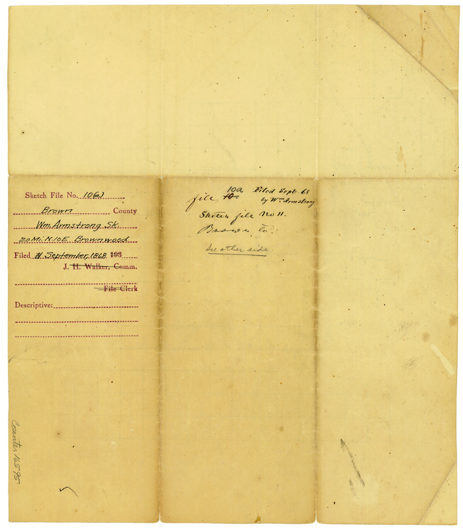
Brown County Sketch File 10a
[Sketch of surveys north and east of Brownwood extending into Comanche and Eastland Counties]
-
Map/Doc
16595
-
Collection
General Map Collection
-
Object Dates
1868 (File Date)
-
People and Organizations
Wm. Armstrong (Surveyor/Engineer)
-
Counties
Comanche Eastland Brown
-
Subjects
Surveying Sketch File
-
Height x Width
11.2 x 9.8 inches
28.4 x 24.9 cm
-
Medium
paper, manuscript
Part of: General Map Collection
Gillespie County Sketch File 10

Print $4.00
- Digital $50.00
Gillespie County Sketch File 10
1877
Size 8.3 x 12.9 inches
Map/Doc 24147
Matagorda County Aerial Photograph Index Sheet 7

Print $20.00
- Digital $50.00
Matagorda County Aerial Photograph Index Sheet 7
1953
Size 23.7 x 19.7 inches
Map/Doc 83728
Fractional Township No. 7 South Range No. 1 West of the Indian Meridian, Indian Territory

Print $4.00
- Digital $50.00
Fractional Township No. 7 South Range No. 1 West of the Indian Meridian, Indian Territory
1898
Size 18.1 x 22.4 inches
Map/Doc 75145
Gaines County Rolled Sketch 32

Print $20.00
- Digital $50.00
Gaines County Rolled Sketch 32
1902
Size 20.5 x 29.9 inches
Map/Doc 5945
Falls County Sketch File 9

Print $4.00
- Digital $50.00
Falls County Sketch File 9
Size 13.0 x 8.5 inches
Map/Doc 22343
Crane County Sketch File A10

Print $20.00
- Digital $50.00
Crane County Sketch File A10
Size 18.0 x 24.7 inches
Map/Doc 11214
Eastland County Sketch File 4

Print $4.00
- Digital $50.00
Eastland County Sketch File 4
1861
Size 11.8 x 6.9 inches
Map/Doc 21568
Lee County Rolled Sketch 1

Print $40.00
- Digital $50.00
Lee County Rolled Sketch 1
1939
Size 71.0 x 42.4 inches
Map/Doc 10739
Uvalde County Working Sketch 41

Print $20.00
- Digital $50.00
Uvalde County Working Sketch 41
1975
Size 15.6 x 27.4 inches
Map/Doc 72111
Flight Mission No. DCL-7C, Frame 139, Kenedy County

Print $20.00
- Digital $50.00
Flight Mission No. DCL-7C, Frame 139, Kenedy County
1943
Size 18.5 x 22.3 inches
Map/Doc 86096
[Galveston, Harrisburg & San Antonio through El Paso County]
![64012, [Galveston, Harrisburg & San Antonio through El Paso County], General Map Collection](https://historictexasmaps.com/wmedia_w700/maps/64012.tif.jpg)
Print $20.00
- Digital $50.00
[Galveston, Harrisburg & San Antonio through El Paso County]
1906
Size 13.6 x 33.8 inches
Map/Doc 64012
Wichita County Sketch File 28

Print $22.00
- Digital $50.00
Wichita County Sketch File 28
1929
Size 12.5 x 17.0 inches
Map/Doc 40130
You may also like
Pecos County Sketch File 117

Print $4.00
- Digital $50.00
Pecos County Sketch File 117
1927
Size 10.0 x 8.8 inches
Map/Doc 34095
Cameron County

Print $20.00
- Digital $50.00
Cameron County
1976
Size 30.9 x 38.1 inches
Map/Doc 77230
Flight Mission No. CGI-8AA, Frame 146, Cameron County

Print $20.00
- Digital $50.00
Flight Mission No. CGI-8AA, Frame 146, Cameron County
1962
Size 18.6 x 18.3 inches
Map/Doc 84533
The Republic County of Jasper. December 29, 1845

Print $20.00
The Republic County of Jasper. December 29, 1845
2020
Size 19.5 x 21.7 inches
Map/Doc 96196
Coryell County Sketch File 2

Print $4.00
- Digital $50.00
Coryell County Sketch File 2
Size 13.0 x 8.0 inches
Map/Doc 19338
Wheeler County Working Sketch 12

Print $40.00
- Digital $50.00
Wheeler County Working Sketch 12
1978
Size 38.5 x 51.1 inches
Map/Doc 72501
Gregg County Rolled Sketch RGA

Print $46.00
- Digital $50.00
Gregg County Rolled Sketch RGA
1933
Size 34.3 x 30.6 inches
Map/Doc 9026
Concho, San Saba & Llano Valley Railway, Sterling City Branch, Texas. Right of Way and Track Map

Print $40.00
- Digital $50.00
Concho, San Saba & Llano Valley Railway, Sterling City Branch, Texas. Right of Way and Track Map
1910
Size 17.9 x 120.8 inches
Map/Doc 64436
Sketch in Atascosa County

Print $3.00
- Digital $50.00
Sketch in Atascosa County
1890
Size 12.6 x 11.4 inches
Map/Doc 578
South Sulphur River, Klondike Sheet

Print $6.00
- Digital $50.00
South Sulphur River, Klondike Sheet
1925
Size 32.2 x 35.5 inches
Map/Doc 65170
Cameron County Rolled Sketch 17

Print $20.00
- Digital $50.00
Cameron County Rolled Sketch 17
1937
Size 47.0 x 34.0 inches
Map/Doc 61788
Flight Mission No. CRC-4R, Frame 72, Chambers County

Print $20.00
- Digital $50.00
Flight Mission No. CRC-4R, Frame 72, Chambers County
1956
Size 18.8 x 22.4 inches
Map/Doc 84876