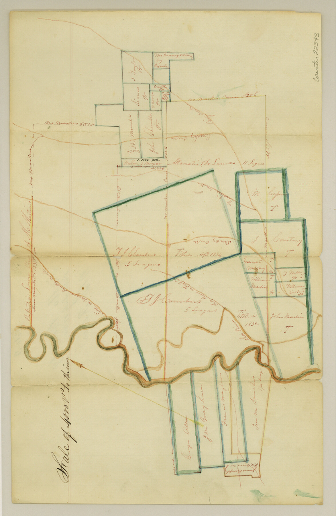
Falls County Sketch File 9
[Sketch of surveys on Old River]
-
Map/Doc
22343
-
Collection
General Map Collection
-
Object Dates
1860/7/17 (File Date)
-
Counties
Falls
-
Subjects
Surveying Sketch File
-
Height x Width
13.0 x 8.5 inches
33.0 x 21.6 cm
-
Medium
paper, manuscript
-
Scale
1:4000
-
Features
Big Creek
Little Sandy Creek
Little Morgan Creek
Keechie Creek
Sandy Creek
Brushy Creek
Old River
Flat Creek
Part of: General Map Collection
San Saba County Sketch File 14a

Print $14.00
- Digital $50.00
San Saba County Sketch File 14a
1891
Size 14.5 x 8.8 inches
Map/Doc 36441
Winkler County Working Sketch 20

Print $20.00
- Digital $50.00
Winkler County Working Sketch 20
1990
Size 22.3 x 24.0 inches
Map/Doc 72614
Erath County Sketch File 35

Print $8.00
- Digital $50.00
Erath County Sketch File 35
1992
Size 14.5 x 8.8 inches
Map/Doc 22326
Kendall County Working Sketch 4

Print $20.00
- Digital $50.00
Kendall County Working Sketch 4
1946
Size 25.7 x 24.3 inches
Map/Doc 66676
Map of section no. 6 of a survey of Padre Island made for the Office of the Attorney General of the State of Texas

Print $40.00
- Digital $50.00
Map of section no. 6 of a survey of Padre Island made for the Office of the Attorney General of the State of Texas
1941
Size 57.9 x 40.8 inches
Map/Doc 2262
Kendall County Rolled Sketch 7

Print $20.00
- Digital $50.00
Kendall County Rolled Sketch 7
Size 29.0 x 27.3 inches
Map/Doc 6460
Donley County Sketch File 22

Print $20.00
- Digital $50.00
Donley County Sketch File 22
Size 20.4 x 28.0 inches
Map/Doc 11368
Flight Mission No. BRE-2P, Frame 44, Nueces County

Print $20.00
- Digital $50.00
Flight Mission No. BRE-2P, Frame 44, Nueces County
1956
Size 18.7 x 22.9 inches
Map/Doc 86746
Brooks County Boundary File 1

Print $54.00
- Digital $50.00
Brooks County Boundary File 1
Size 9.0 x 8.6 inches
Map/Doc 50809
[Surveys in Austin's Colony along the west bank of the Colorado River]
![199, [Surveys in Austin's Colony along the west bank of the Colorado River], General Map Collection](https://historictexasmaps.com/wmedia_w700/maps/199.tif.jpg)
Print $20.00
- Digital $50.00
[Surveys in Austin's Colony along the west bank of the Colorado River]
1831
Size 10.9 x 28.5 inches
Map/Doc 199
Bosque County Sketch File 4

Print $4.00
- Digital $50.00
Bosque County Sketch File 4
1854
Size 11.3 x 7.8 inches
Map/Doc 14744
Victoria County Sketch File 6

Print $2.00
- Digital $50.00
Victoria County Sketch File 6
Size 5.3 x 12.5 inches
Map/Doc 39523
You may also like
Flight Mission No. CGI-1N, Frame 182, Cameron County

Print $20.00
- Digital $50.00
Flight Mission No. CGI-1N, Frame 182, Cameron County
1955
Size 18.6 x 22.3 inches
Map/Doc 84517
Gulf of Mexico

Print $20.00
- Digital $50.00
Gulf of Mexico
1905
Size 18.3 x 26.8 inches
Map/Doc 72653
Sketch showing county lines of Lynn, Garza, Borden, Scurry

Print $40.00
- Digital $50.00
Sketch showing county lines of Lynn, Garza, Borden, Scurry
1961
Size 23.9 x 79.9 inches
Map/Doc 1719
Colorado County Sketch File 32

Print $4.00
- Digital $50.00
Colorado County Sketch File 32
1847
Size 13.0 x 8.4 inches
Map/Doc 18986
Nueces County Rolled Sketch M-9

Print $20.00
- Digital $50.00
Nueces County Rolled Sketch M-9
1913
Size 37.6 x 38.3 inches
Map/Doc 9588
Located Line of the Panhandle & Gulf Ry. through State Lands

Print $40.00
- Digital $50.00
Located Line of the Panhandle & Gulf Ry. through State Lands
1904
Size 12.4 x 78.0 inches
Map/Doc 64104
Newton County Working Sketch Graphic Index

Print $20.00
- Digital $50.00
Newton County Working Sketch Graphic Index
1946
Size 47.5 x 41.0 inches
Map/Doc 76653
The Republic County of San Augustine. Boundaries Defined, December 14, 1837

Print $20.00
The Republic County of San Augustine. Boundaries Defined, December 14, 1837
2020
Size 18.8 x 21.7 inches
Map/Doc 96271
Erath County Working Sketch 3

Print $20.00
- Digital $50.00
Erath County Working Sketch 3
1919
Size 17.6 x 17.6 inches
Map/Doc 69084
Map of La Salle County

Print $20.00
- Digital $50.00
Map of La Salle County
1877
Size 29.8 x 21.1 inches
Map/Doc 3797

Tom Green County Sketch File 46

Print $82.00
- Digital $50.00
Tom Green County Sketch File 46
1883
Size 28.4 x 28.6 inches
Map/Doc 10402