Kendall County Rolled Sketch 7
Map showing corrected surveys made in an area approx. 21 miles N 8° E from Boerne, Kendall County, Texas - surveys made at the request of Don Holden
-
Map/Doc
6460
-
Collection
General Map Collection
-
Object Dates
1985/7/23 (Survey Date)
1985/8/14 (File Date)
-
People and Organizations
Charles Ottmers (Surveyor/Engineer)
-
Counties
Kendall
-
Subjects
Surveying Rolled Sketch
-
Height x Width
29.0 x 27.3 inches
73.7 x 69.3 cm
-
Scale
1" = 300 varas
Part of: General Map Collection
Montgomery County Rolled Sketch 42

Print $20.00
- Digital $50.00
Montgomery County Rolled Sketch 42
1939
Size 14.2 x 20.5 inches
Map/Doc 6817
Hopkins County Boundary File 3

Print $46.00
- Digital $50.00
Hopkins County Boundary File 3
Size 8.2 x 3.8 inches
Map/Doc 55059
Wise County Rolled Sketch 7

Print $20.00
- Digital $50.00
Wise County Rolled Sketch 7
Size 23.9 x 18.4 inches
Map/Doc 8281
Gillespie County Rolled Sketch 2


Print $20.00
- Digital $50.00
Gillespie County Rolled Sketch 2
1977
Size 22.8 x 22.7 inches
Map/Doc 6009
Orange County Sketch File 36


Print $22.00
- Digital $50.00
Orange County Sketch File 36
Size 27.7 x 8.8 inches
Map/Doc 33372
Presidio County Rolled Sketch S2


Print $20.00
- Digital $50.00
Presidio County Rolled Sketch S2
1916
Size 14.2 x 12.0 inches
Map/Doc 7415
Nueces County Rolled Sketch 13

Print $20.00
- Digital $50.00
Nueces County Rolled Sketch 13
1921
Size 21.6 x 32.0 inches
Map/Doc 77600
Houston County Sketch File 36
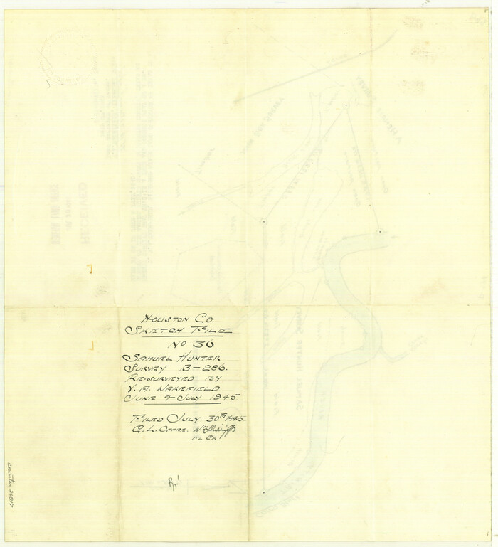

Print $40.00
- Digital $50.00
Houston County Sketch File 36
1945
Size 15.6 x 14.2 inches
Map/Doc 26817
Township No. 5 South Range No. 14 West of the Indian Meridian
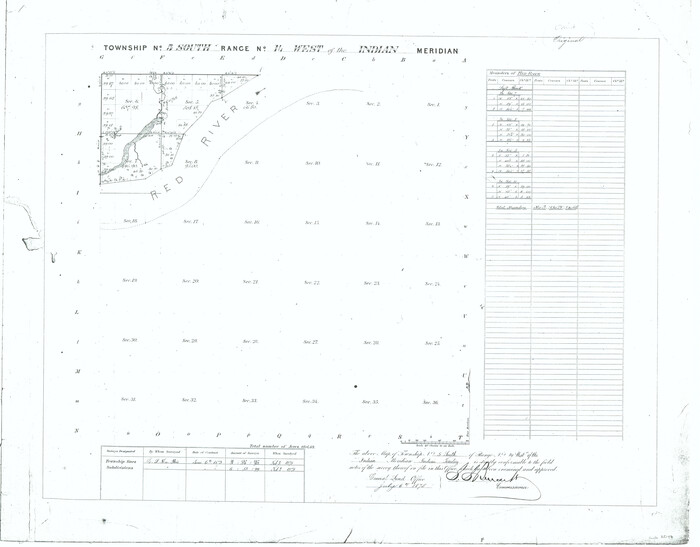

Print $4.00
- Digital $50.00
Township No. 5 South Range No. 14 West of the Indian Meridian
1875
Size 17.8 x 22.8 inches
Map/Doc 75147
Map of Comanche County
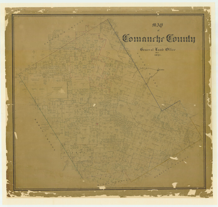

Print $40.00
- Digital $50.00
Map of Comanche County
1895
Size 47.5 x 50.0 inches
Map/Doc 4735
Eastland County
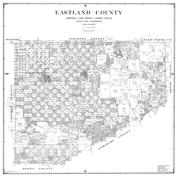

Print $20.00
- Digital $50.00
Eastland County
1945
Size 41.8 x 42.0 inches
Map/Doc 77268
Val Verde County Sketch File 14


Print $20.00
- Digital $50.00
Val Verde County Sketch File 14
1879
Size 19.8 x 14.7 inches
Map/Doc 12565
You may also like
Presidio County Working Sketch 118


Print $20.00
- Digital $50.00
Presidio County Working Sketch 118
1983
Size 47.4 x 41.6 inches
Map/Doc 71795
Presidio County Working Sketch 35

Print $20.00
- Digital $50.00
Presidio County Working Sketch 35
1947
Size 25.7 x 47.3 inches
Map/Doc 71712
Val Verde County Sketch File A1


Print $6.00
- Digital $50.00
Val Verde County Sketch File A1
1895
Size 14.4 x 9.2 inches
Map/Doc 39038
Flight Mission No. DAG-24K, Frame 39, Matagorda County


Print $20.00
- Digital $50.00
Flight Mission No. DAG-24K, Frame 39, Matagorda County
1953
Size 18.5 x 22.3 inches
Map/Doc 86526
Crane County Working Sketch 18


Print $20.00
- Digital $50.00
Crane County Working Sketch 18
1959
Size 37.9 x 18.8 inches
Map/Doc 68295
Pecos County Rolled Sketch 115A


Print $20.00
- Digital $50.00
Pecos County Rolled Sketch 115A
1943
Size 15.8 x 15.2 inches
Map/Doc 7258
Hudspeth County Rolled Sketch 76

Print $40.00
- Digital $50.00
Hudspeth County Rolled Sketch 76
1992
Size 49.5 x 37.7 inches
Map/Doc 9239
Clay County Sketch File 1a

Print $25.00
- Digital $50.00
Clay County Sketch File 1a
1860
Size 8.8 x 8.2 inches
Map/Doc 18387
The Republic County of Montgomery. December 31, 1838
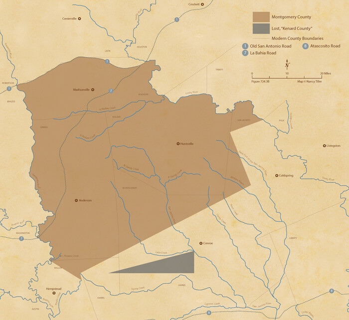

Print $20.00
The Republic County of Montgomery. December 31, 1838
2020
Size 19.9 x 21.7 inches
Map/Doc 96236
Zavala County Sketch File 42


Print $20.00
- Digital $50.00
Zavala County Sketch File 42
1915
Size 19.4 x 25.6 inches
Map/Doc 12732
Matagorda County Working Sketch 30


Print $20.00
- Digital $50.00
Matagorda County Working Sketch 30
1981
Size 21.0 x 19.7 inches
Map/Doc 70888
Brooks County Working Sketch 6
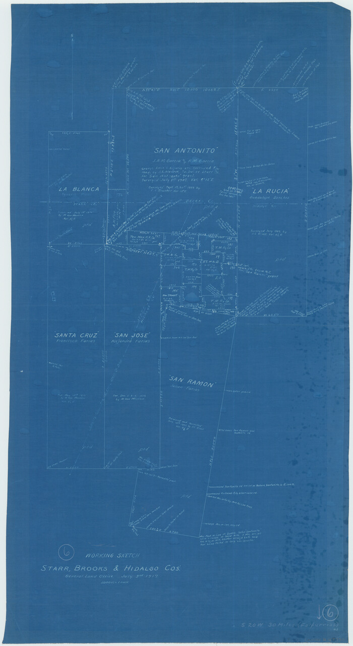

Print $20.00
- Digital $50.00
Brooks County Working Sketch 6
1917
Size 28.6 x 15.7 inches
Map/Doc 67790
