
Mills County Sketch File 9
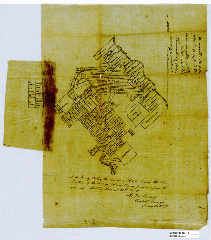
Brown County Sketch File 5
1858

Brown County Sketch File 10
1868
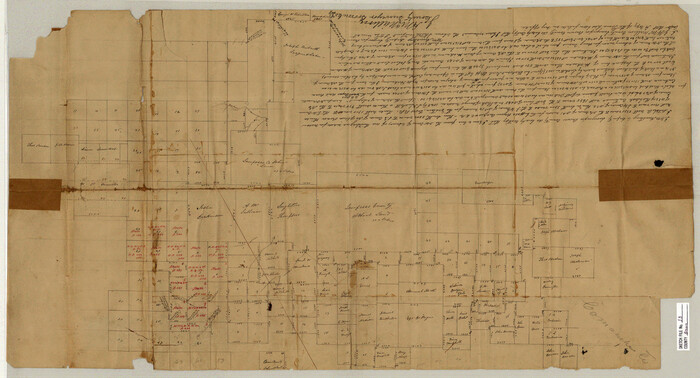
Brown County Sketch File 13

Brown County Sketch File 21

Brown County Sketch File 24
1889
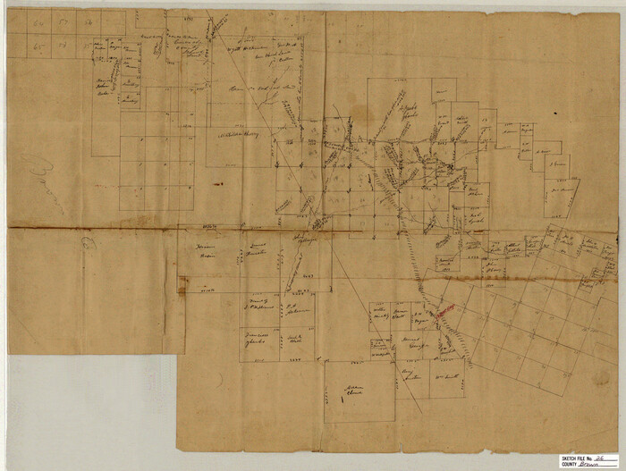
Brown County Sketch File 26
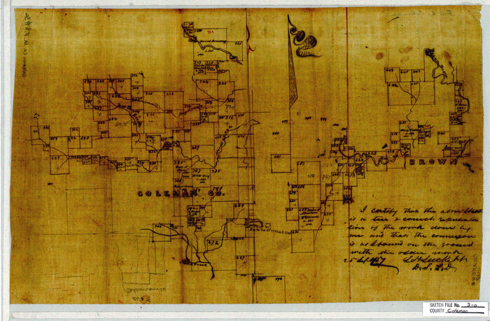
Coleman County Sketch File 3a
1857
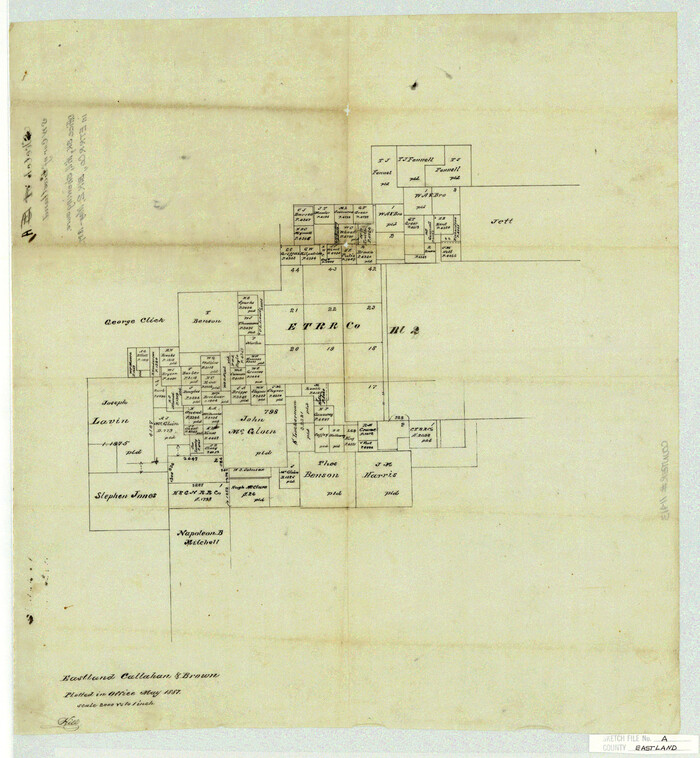
Eastland County Sketch File A
1887
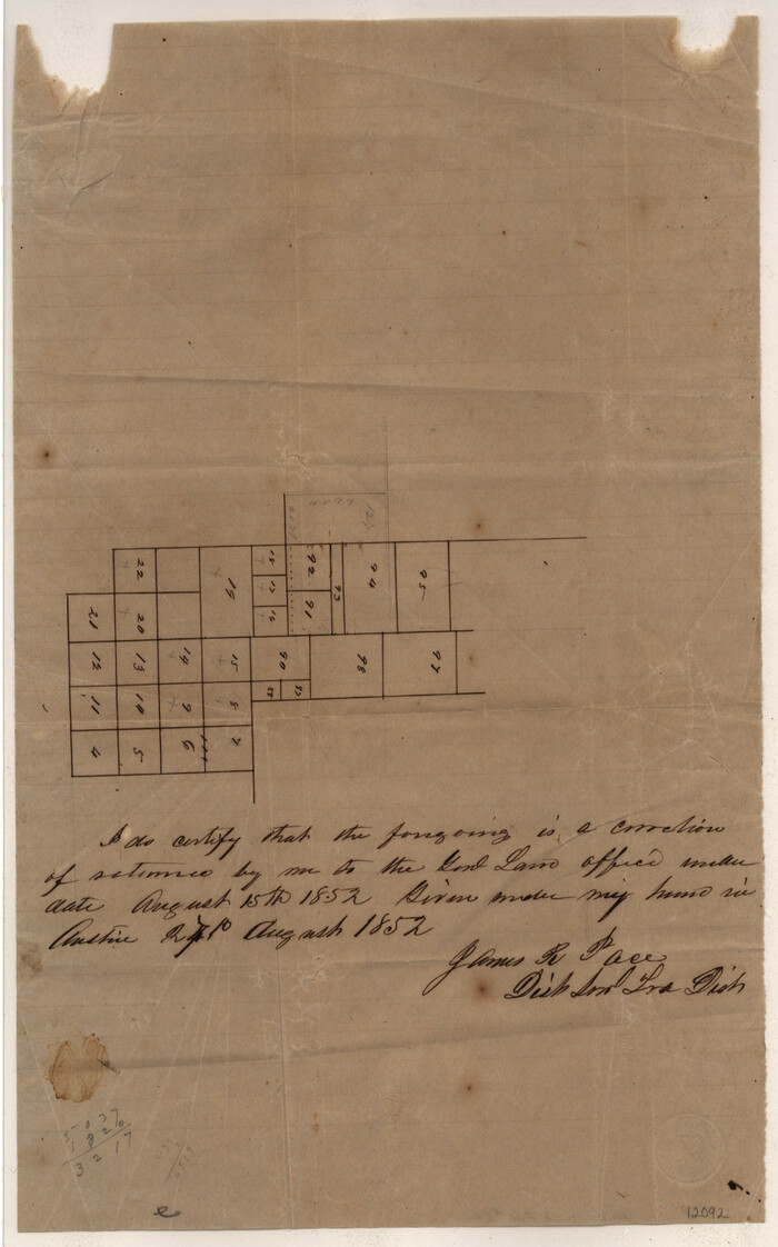
Mills County Sketch File 1A
1852
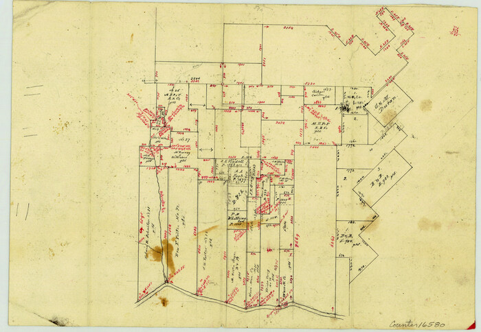
Brown County Sketch File X
1882

Brown County Sketch File 2
Brown County Sketch File 3
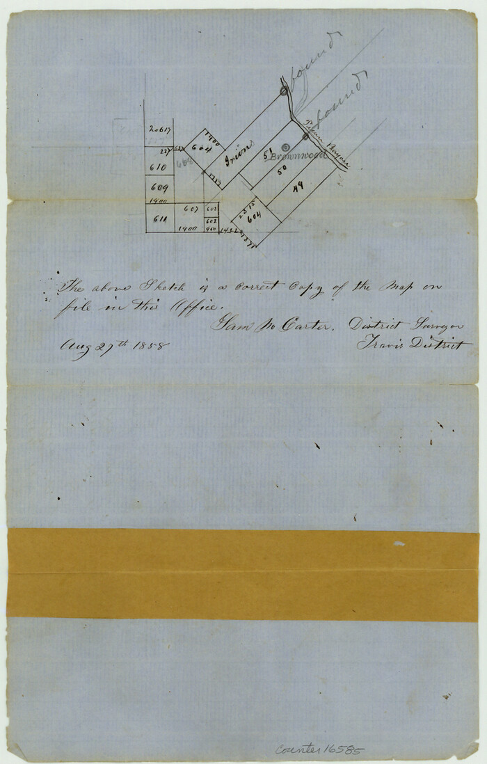
Brown County Sketch File 4
1858
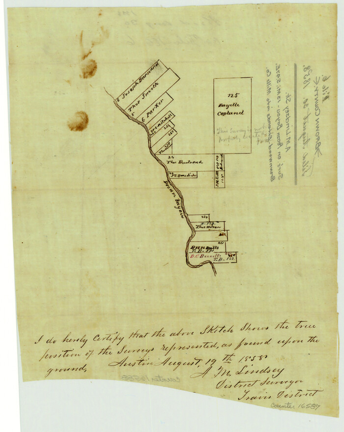
Brown County Sketch File 6
1858

Brown County Sketch File 7
1860
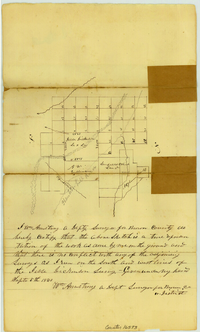
Brown County Sketch File 8
1860
Brown County Sketch File 10a
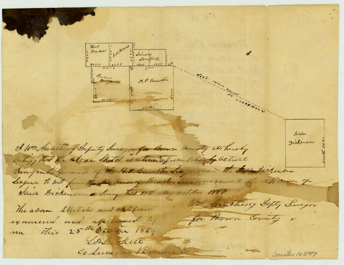
Brown County Sketch File 11
1859

Brown County Sketch File 11a
1872

Brown County Sketch File 12
1870

Brown County Sketch File 12a
1870
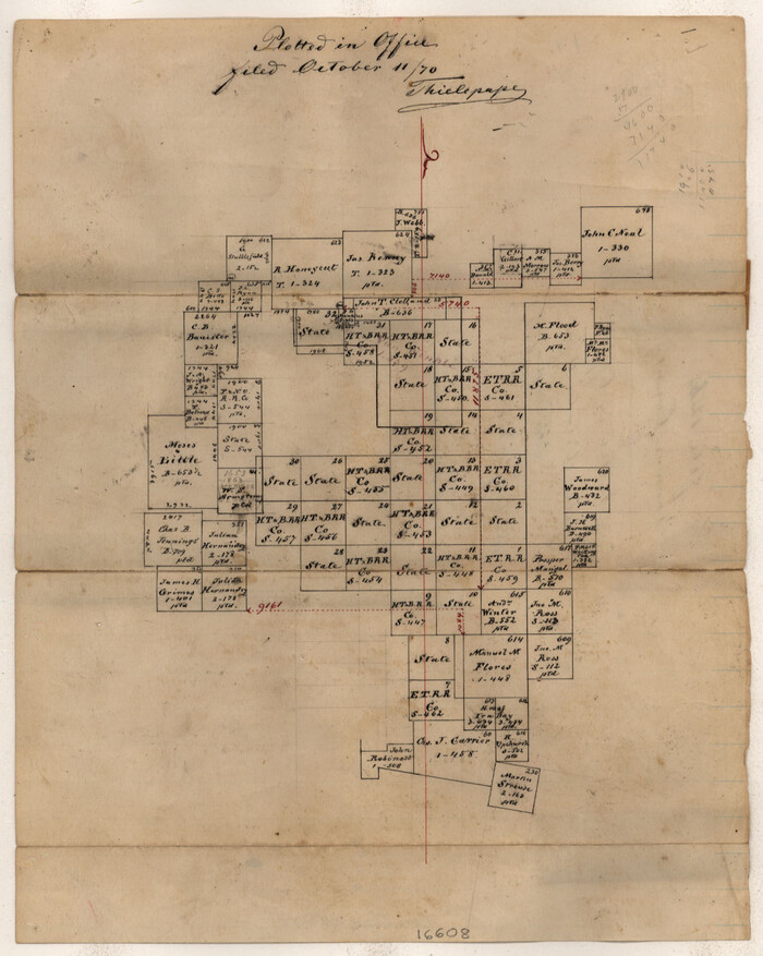
Brown County Sketch File 12b
1870

Brown County Sketch File 15
1857

Brown County Sketch File 16
1872
Brown County Sketch File 17
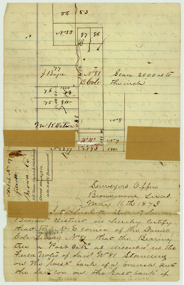
Brown County Sketch File 19
1873

Brown County Sketch File 20

Brown County Sketch File 25
1890

Brown County Sketch File 27
1868

Mills County Sketch File 9
-
Size
36.0 x 29.5 inches
-
Map/Doc
10544

Brown County Sketch File 5
1858
-
Size
17.9 x 15.8 inches
-
Map/Doc
11017
-
Creation Date
1858

Brown County Sketch File 10
1868
-
Size
17.4 x 22.3 inches
-
Map/Doc
11019
-
Creation Date
1868

Brown County Sketch File 13
-
Size
17.9 x 33.1 inches
-
Map/Doc
11020

Brown County Sketch File 21
-
Size
16.4 x 12.8 inches
-
Map/Doc
11021

Brown County Sketch File 24
1889
-
Size
11.7 x 15.9 inches
-
Map/Doc
11022
-
Creation Date
1889

Brown County Sketch File 26
-
Size
18.4 x 24.4 inches
-
Map/Doc
11023

Coleman County Sketch File 3a
1857
-
Size
12.6 x 19.2 inches
-
Map/Doc
11117
-
Creation Date
1857

Eastland County Sketch File A
1887
-
Size
18.1 x 16.8 inches
-
Map/Doc
11413
-
Creation Date
1887

Mills County Sketch File 1A
1852
-
Size
33.6 x 20.1 inches
-
Map/Doc
12092
-
Creation Date
1852

Brown County Sketch File X
1882
-
Size
8.1 x 11.7 inches
-
Map/Doc
16580
-
Creation Date
1882

Brown County Sketch File 2
-
Size
11.8 x 8.1 inches
-
Map/Doc
16582

Brown County Sketch File 3
-
Size
8.3 x 5.9 inches
-
Map/Doc
16584

Brown County Sketch File 4
1858
-
Size
12.7 x 8.1 inches
-
Map/Doc
16585
-
Creation Date
1858

Brown County Sketch File 6
1858
-
Size
10.4 x 8.3 inches
-
Map/Doc
16587
-
Creation Date
1858

Brown County Sketch File 7
1860
-
Size
13.0 x 8.1 inches
-
Map/Doc
16590
-
Creation Date
1860

Brown County Sketch File 8
1860
-
Size
13.4 x 8.1 inches
-
Map/Doc
16593
-
Creation Date
1860

Brown County Sketch File 10a
-
Size
11.2 x 9.8 inches
-
Map/Doc
16595

Brown County Sketch File 11
1859
-
Size
7.7 x 9.9 inches
-
Map/Doc
16597
-
Creation Date
1859

Brown County Sketch File 11a
1872
-
Size
6.6 x 3.6 inches
-
Map/Doc
16599
-
Creation Date
1872

Brown County Sketch File 12
1870
-
Size
12.4 x 8.0 inches
-
Map/Doc
16602
-
Creation Date
1870

Brown County Sketch File 12a
1870
-
Size
12.4 x 8.1 inches
-
Map/Doc
16604
-
Creation Date
1870

Brown County Sketch File 12b
1870
-
Size
13.8 x 8.2 inches
-
Map/Doc
16608
-
Creation Date
1870

Brown County Sketch File 15
1857
-
Size
12.2 x 8.0 inches
-
Map/Doc
16610
-
Creation Date
1857

Brown County Sketch File 16
1872
-
Size
10.8 x 10.1 inches
-
Map/Doc
16612
-
Creation Date
1872

Brown County Sketch File 17
-
Size
15.6 x 12.7 inches
-
Map/Doc
16614

Brown County Sketch File 19
1873
-
Size
12.8 x 8.2 inches
-
Map/Doc
16616
-
Creation Date
1873

Brown County Sketch File 20
-
Size
6.6 x 8.3 inches
-
Map/Doc
16620

Brown County Sketch File 25
1890
-
Size
11.2 x 15.4 inches
-
Map/Doc
16623
-
Creation Date
1890

Brown County Sketch File 27
1868
-
Size
13.3 x 8.1 inches
-
Map/Doc
16624
-
Creation Date
1868