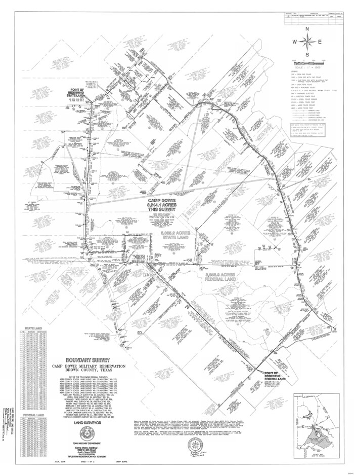
Brown County State Real Property Sketch 1
2018
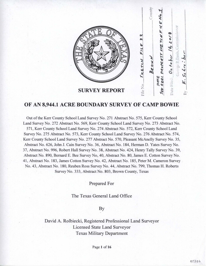
Brown County Sketch File 32
2018

Brown County Working Sketch 20
2011
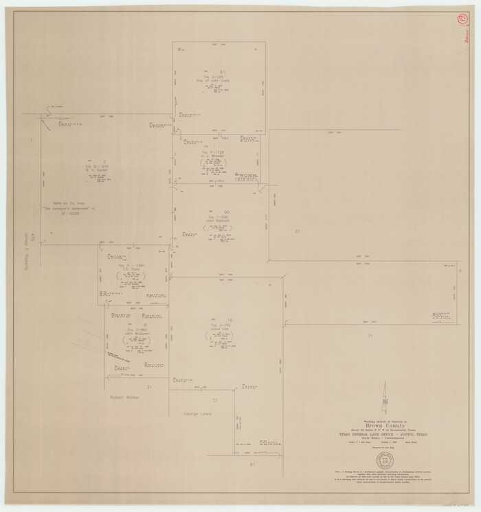
Brown County Working Sketch 19
1998

Brown County Working Sketch 18
1994
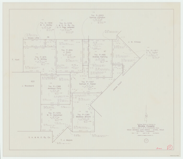
Brown County Working Sketch 17
1993
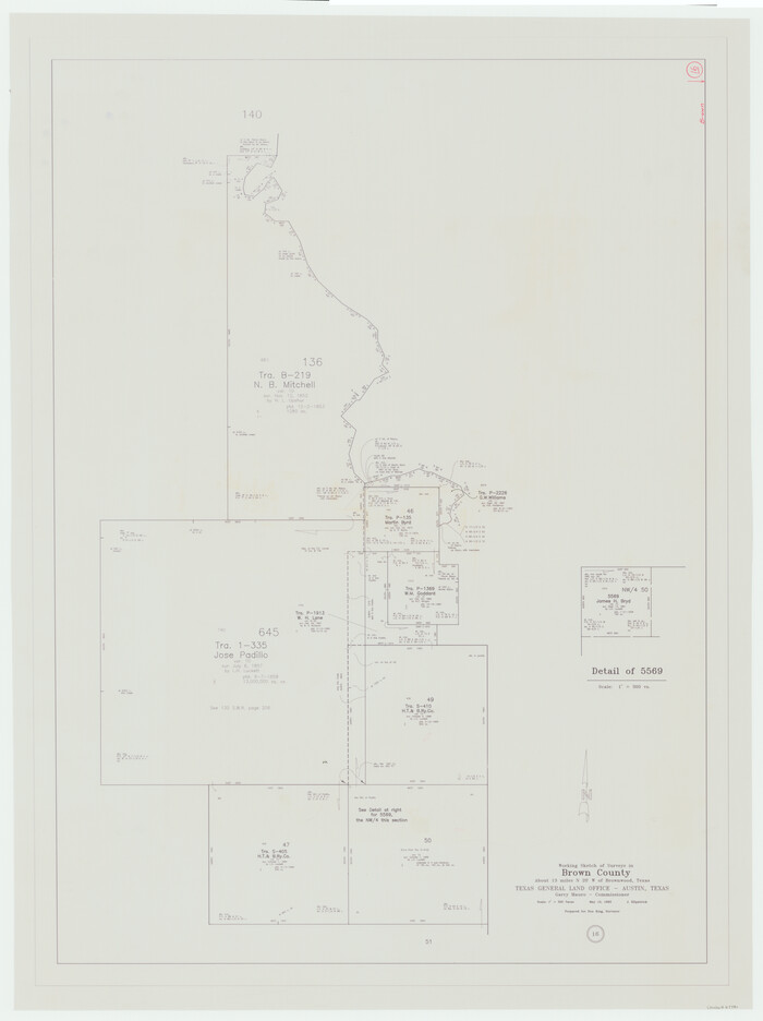
Brown County Working Sketch 16
1993
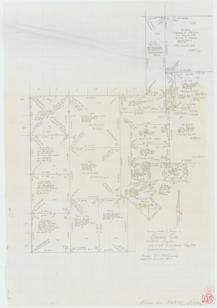
Brown County Working Sketch 15
1989
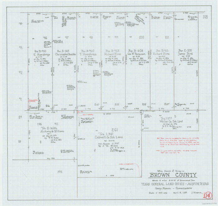
Brown County Working Sketch 14
1989

Brown County Rolled Sketch 3
1985
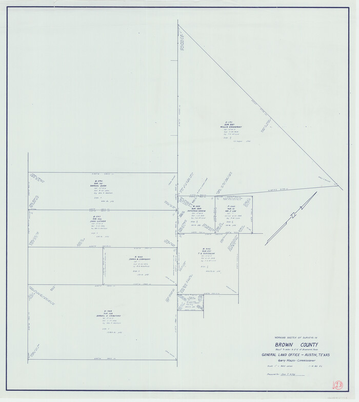
Brown County Working Sketch 13
1985
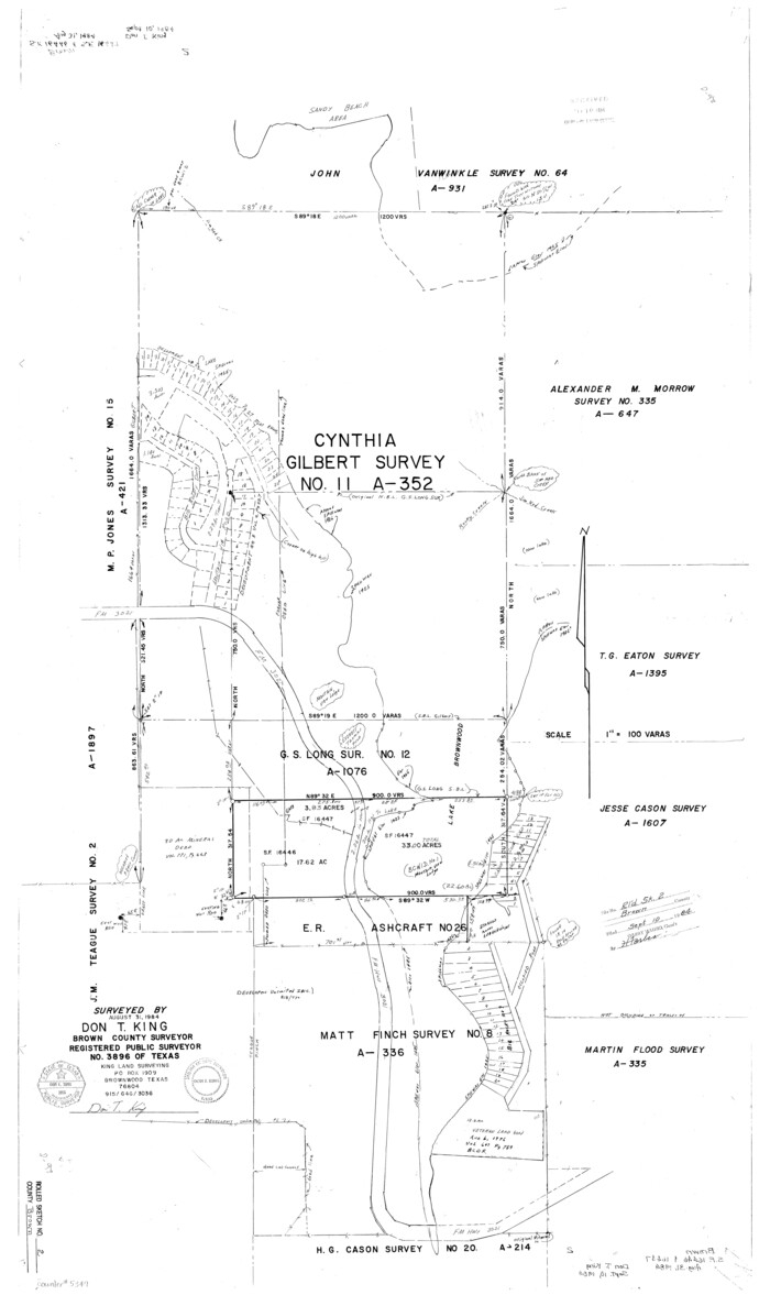
Brown County Rolled Sketch 2
1984
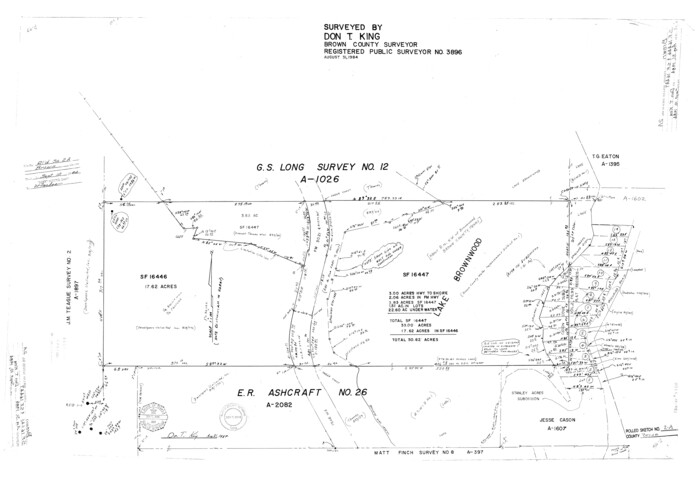
Brown County Rolled Sketch 2A
1984

Brown County Rolled Sketch 2B
1984
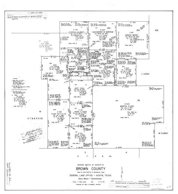
Brown County Rolled Sketch 2C
1984

Brown County Working Sketch 12
1984
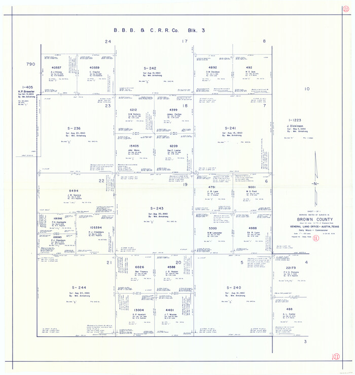
Brown County Working Sketch 11
1983
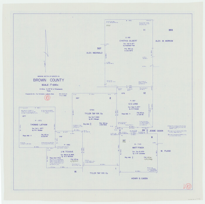
Brown County Working Sketch 10
1982

West Half - Brown County
1982

East Half - Brown County
1982

Brown County Working Sketch 9
1977
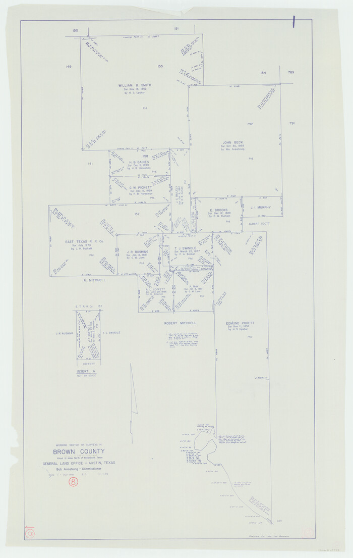
Brown County Working Sketch 8
1974

Brown County Rolled Sketch 1
1969
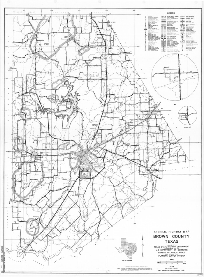
General Highway Map, Brown County, Texas
1961
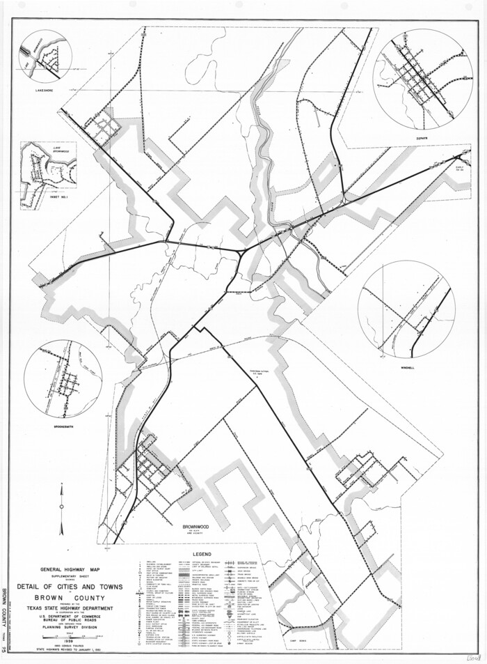
General Highway Map. Detail of Cities and Towns in Brown County, Texas [Brownwood and vicinity]
1961

Brown County Working Sketch 7
1954
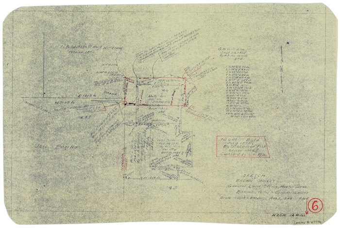
Brown County Working Sketch 6
1948

Brown County State Real Property Sketch 1
2018
-
Size
48.0 x 36.0 inches
-
Map/Doc
95204
-
Creation Date
2018

Brown County Sketch File 32
2018
-
Size
11.0 x 8.5 inches
-
Map/Doc
95206
-
Creation Date
2018

Brown County Working Sketch 20
2011
-
Size
32.8 x 34.8 inches
-
Map/Doc
89999
-
Creation Date
2011

Brown County Working Sketch 19
1998
-
Size
37.1 x 34.8 inches
-
Map/Doc
67784
-
Creation Date
1998

Brown County Working Sketch 18
1994
-
Size
43.0 x 29.3 inches
-
Map/Doc
67783
-
Creation Date
1994

Brown County Working Sketch 17
1993
-
Size
25.6 x 29.4 inches
-
Map/Doc
67782
-
Creation Date
1993

Brown County Working Sketch 16
1993
-
Size
46.3 x 34.7 inches
-
Map/Doc
67781
-
Creation Date
1993

Brown County Working Sketch 15
1989
-
Size
23.6 x 16.7 inches
-
Map/Doc
67780
-
Creation Date
1989

Brown County Working Sketch 14
1989
-
Size
20.1 x 21.3 inches
-
Map/Doc
67779
-
Creation Date
1989

Brown County Rolled Sketch 3
1985
-
Size
25.0 x 36.5 inches
-
Map/Doc
5353
-
Creation Date
1985

Brown County Working Sketch 13
1985
-
Size
34.1 x 30.4 inches
-
Map/Doc
67778
-
Creation Date
1985

Brown County Rolled Sketch 2
1984
-
Size
42.4 x 25.2 inches
-
Map/Doc
5349
-
Creation Date
1984

Brown County Rolled Sketch 2A
1984
-
Size
25.6 x 37.4 inches
-
Map/Doc
5350
-
Creation Date
1984

Brown County Rolled Sketch 2B
1984
-
Size
24.3 x 18.6 inches
-
Map/Doc
5351
-
Creation Date
1984

Brown County Rolled Sketch 2C
1984
-
Size
26.7 x 24.6 inches
-
Map/Doc
5352
-
Creation Date
1984

Brown County Working Sketch 12
1984
-
Size
27.0 x 25.2 inches
-
Map/Doc
67777
-
Creation Date
1984

Brown County Working Sketch 11
1983
-
Size
45.5 x 43.1 inches
-
Map/Doc
67776
-
Creation Date
1983

Brown County Working Sketch 10
1982
-
Size
25.3 x 25.5 inches
-
Map/Doc
67775
-
Creation Date
1982

West Half - Brown County
1982
-
Size
142.2 x 37.3 inches
-
Map/Doc
97384
-
Creation Date
1982

East Half - Brown County
1982
-
Size
141.3 x 36.8 inches
-
Map/Doc
97385
-
Creation Date
1982

Brown County Working Sketch 9
1977
-
Size
63.7 x 36.4 inches
-
Map/Doc
67774
-
Creation Date
1977

Brown County Working Sketch 8
1974
-
Size
43.8 x 27.7 inches
-
Map/Doc
67773
-
Creation Date
1974

Brown County Rolled Sketch 1
1969
-
Size
15.4 x 22.1 inches
-
Map/Doc
5348
-
Creation Date
1969

General Highway Map, Brown County, Texas
1961
-
Size
24.8 x 18.2 inches
-
Map/Doc
79389
-
Creation Date
1961
![79390, General Highway Map. Detail of Cities and Towns in Brown County, Texas [Brownwood and vicinity], Texas State Library and Archives](https://historictexasmaps.com/wmedia_w700/maps/79390.tif.jpg)
General Highway Map. Detail of Cities and Towns in Brown County, Texas [Brownwood and vicinity]
1961
-
Size
24.8 x 18.2 inches
-
Map/Doc
79390
-
Creation Date
1961

Brown County Working Sketch 7
1954
-
Size
26.5 x 28.7 inches
-
Map/Doc
67772
-
Creation Date
1954

Brown County Working Sketch 6
1948
-
Size
12.9 x 19.3 inches
-
Map/Doc
67771
-
Creation Date
1948

Brown County
1944
-
Size
48.5 x 37.8 inches
-
Map/Doc
1789
-
Creation Date
1944
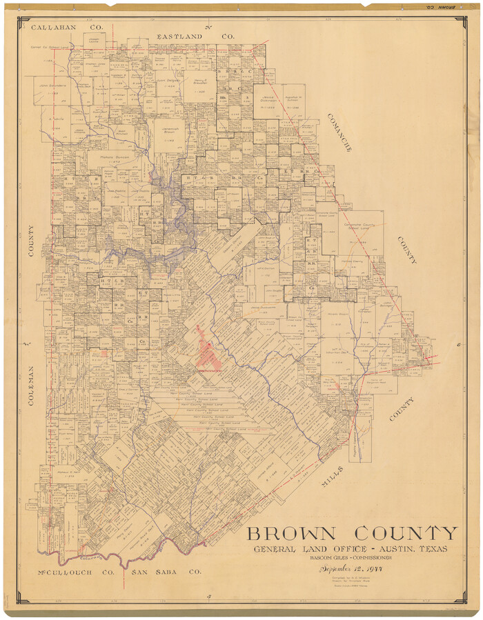
Brown County
1944
-
Size
48.5 x 37.6 inches
-
Map/Doc
73092
-
Creation Date
1944

Brown County
1944
-
Size
46.8 x 36.1 inches
-
Map/Doc
77224
-
Creation Date
1944