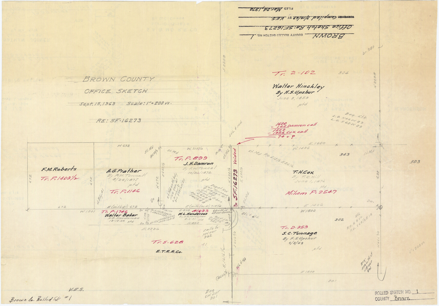
Brown County Rolled Sketch 1
Office Sketch Re: SF.16273
-
Map/Doc
5348
-
Collection
General Map Collection
-
Object Dates
1969/9/15 (Creation Date)
1970/3/24 (File Date)
-
Counties
Brown Comanche
-
Subjects
Surveying Rolled Sketch
-
Height x Width
15.4 x 22.1 inches
39.1 x 56.1 cm
-
Medium
paper, manuscript
-
Scale
1" = 200 varas
Part of: General Map Collection
Flight Mission No. BQY-15M, Frame 12, Harris County

Print $20.00
- Digital $50.00
Flight Mission No. BQY-15M, Frame 12, Harris County
1953
Size 18.7 x 22.4 inches
Map/Doc 85310
Flight Mission No. CON-2R, Frame 173, Stonewall County

Print $20.00
- Digital $50.00
Flight Mission No. CON-2R, Frame 173, Stonewall County
1957
Size 18.3 x 22.1 inches
Map/Doc 86991
In the Supreme Court of the United States The State of Oklahoma, Complainant vs. The State of Texas, Defendant, The United States of America, Intervener - 1920

Print $20.00
- Digital $50.00
In the Supreme Court of the United States The State of Oklahoma, Complainant vs. The State of Texas, Defendant, The United States of America, Intervener - 1920
1920
Size 32.4 x 36.8 inches
Map/Doc 75129
Hartley County Sketch File 12

Print $20.00
- Digital $50.00
Hartley County Sketch File 12
1906
Size 16.3 x 12.4 inches
Map/Doc 11736
Smith County Working Sketch 11

Print $20.00
- Digital $50.00
Smith County Working Sketch 11
1960
Size 18.6 x 21.6 inches
Map/Doc 63896
Ellis County Sketch File 12

Print $60.00
- Digital $50.00
Ellis County Sketch File 12
1860
Size 12.9 x 16.1 inches
Map/Doc 21849
San Jacinto County Rolled Sketch 10A

Print $40.00
- Digital $50.00
San Jacinto County Rolled Sketch 10A
1944
Size 42.9 x 59.0 inches
Map/Doc 9882
Coast Chart No. 209 - Aransas Pass, Aransas and Copano Bays, Texas

Print $20.00
- Digital $50.00
Coast Chart No. 209 - Aransas Pass, Aransas and Copano Bays, Texas
1889
Size 31.2 x 24.9 inches
Map/Doc 73429
Cameron County Rolled Sketch 33

Print $20.00
- Digital $50.00
Cameron County Rolled Sketch 33
1996
Size 40.2 x 21.9 inches
Map/Doc 5396
Clay County Sketch File 38a

Print $6.00
- Digital $50.00
Clay County Sketch File 38a
1939
Size 14.3 x 8.8 inches
Map/Doc 18469
Dallam County Sketch File 6

Print $60.00
- Digital $50.00
Dallam County Sketch File 6
Size 12.4 x 17.0 inches
Map/Doc 20350
Panola County Working Sketch 21

Print $20.00
- Digital $50.00
Panola County Working Sketch 21
1947
Map/Doc 71430
You may also like
Brewster County Sketch File D

Print $4.00
- Digital $50.00
Brewster County Sketch File D
1938
Size 14.5 x 8.8 inches
Map/Doc 15738
[I. & G. N. Block 1, sections 64, 65, 67-71 and 545 along river]
![91605, [I. & G. N. Block 1, sections 64, 65, 67-71 and 545 along river], Twichell Survey Records](https://historictexasmaps.com/wmedia_w700/maps/91605-1.tif.jpg)
Print $2.00
- Digital $50.00
[I. & G. N. Block 1, sections 64, 65, 67-71 and 545 along river]
Size 9.1 x 14.7 inches
Map/Doc 91605
[Sketch showing area sued for near Block 194, Yates survey 34 1/2 and Runnels County School Land]
![91685, [Sketch showing area sued for near Block 194, Yates survey 34 1/2 and Runnels County School Land], Twichell Survey Records](https://historictexasmaps.com/wmedia_w700/maps/91685-1.tif.jpg)
Print $20.00
- Digital $50.00
[Sketch showing area sued for near Block 194, Yates survey 34 1/2 and Runnels County School Land]
Size 17.4 x 12.5 inches
Map/Doc 91685
Young County Working Sketch 5

Print $20.00
- Digital $50.00
Young County Working Sketch 5
1919
Size 14.3 x 7.1 inches
Map/Doc 62028
Howard County Working Sketch 5

Print $20.00
- Digital $50.00
Howard County Working Sketch 5
1944
Size 23.9 x 32.8 inches
Map/Doc 66271
Trace of a copy of the map captured at the battle of Resaca de la Palma

Print $20.00
- Digital $50.00
Trace of a copy of the map captured at the battle of Resaca de la Palma
Size 18.3 x 27.3 inches
Map/Doc 73056
Sketch from old map (authority unknown) showing a portion of the Rio Grande River and harbor of Brazos Santiago, Texas

Print $20.00
- Digital $50.00
Sketch from old map (authority unknown) showing a portion of the Rio Grande River and harbor of Brazos Santiago, Texas
1887
Size 18.1 x 24.3 inches
Map/Doc 73003
Angelina County Sketch File 15b

Print $8.00
- Digital $50.00
Angelina County Sketch File 15b
1863
Size 12.7 x 7.9 inches
Map/Doc 12968

Brewster County Sketch File S-2

Print $16.00
- Digital $50.00
Brewster County Sketch File S-2
1910
Size 17.0 x 11.0 inches
Map/Doc 15731
Jeff Davis County Sketch File 2

Print $4.00
- Digital $50.00
Jeff Davis County Sketch File 2
1888
Size 10.7 x 8.8 inches
Map/Doc 27888
Edwards County Rolled Sketch 7

Print $20.00
- Digital $50.00
Edwards County Rolled Sketch 7
1881
Size 24.4 x 23.2 inches
Map/Doc 5800