General Highway Map. Detail of Cities and Towns in Brown County, Texas [Brownwood and vicinity]
-
Map/Doc
79390
-
Collection
Texas State Library and Archives
-
Object Dates
1961 (Creation Date)
-
People and Organizations
Texas State Highway Department (Publisher)
-
Counties
Brown
-
Subjects
City County
-
Height x Width
24.8 x 18.2 inches
63.0 x 46.2 cm
-
Comments
Prints available courtesy of the Texas State Library and Archives.
More info can be found here: TSLAC Map 05069
Part of: Texas State Library and Archives
General Highway Map, Angelina County, Texas


Print $20.00
General Highway Map, Angelina County, Texas
1940
Size 18.5 x 24.9 inches
Map/Doc 79003
General Highway Map, Smith County, Texas


Print $20.00
General Highway Map, Smith County, Texas
1961
Size 25.1 x 18.3 inches
Map/Doc 79654
Map of Texas compiled from surveys at the Land Office of Texas
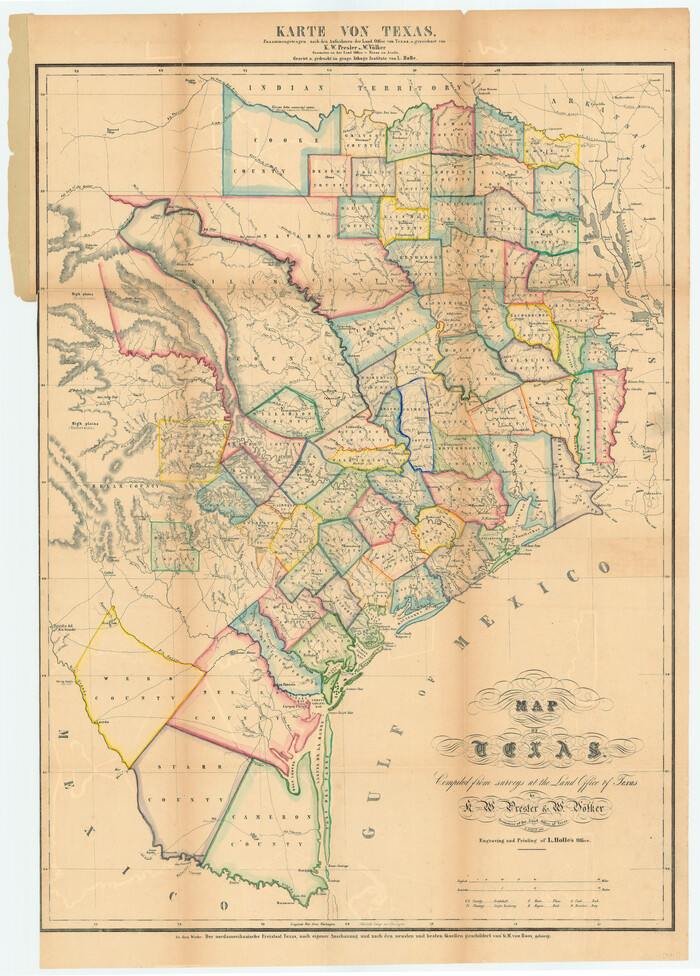

Print $20.00
Map of Texas compiled from surveys at the Land Office of Texas
1851
Size 27.2 x 19.5 inches
Map/Doc 79748
General Highway Map. Detail of Cities and Towns in Trinity County, Texas [Groveton and Trinity and vicinities]
![79689, General Highway Map. Detail of Cities and Towns in Trinity County, Texas [Groveton and Trinity and vicinities], Texas State Library and Archives](https://historictexasmaps.com/wmedia_w700/maps/79689.tif.jpg)
![79689, General Highway Map. Detail of Cities and Towns in Trinity County, Texas [Groveton and Trinity and vicinities], Texas State Library and Archives](https://historictexasmaps.com/wmedia_w700/maps/79689.tif.jpg)
Print $20.00
General Highway Map. Detail of Cities and Towns in Trinity County, Texas [Groveton and Trinity and vicinities]
1961
Size 18.1 x 24.8 inches
Map/Doc 79689
General Highway Map, Fort Bend County, Texas


Print $20.00
General Highway Map, Fort Bend County, Texas
1939
Size 18.6 x 25.2 inches
Map/Doc 79093
General Highway Map, Van Zandt County, Texas
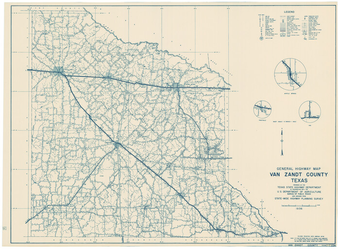

Print $20.00
General Highway Map, Van Zandt County, Texas
1936
Size 18.2 x 25.1 inches
Map/Doc 79267
Mexico and Internal Provinces


Print $20.00
Mexico and Internal Provinces
1822
Size 17.8 x 22.5 inches
Map/Doc 76189
General Highway Map, Collin County, Texas


Print $20.00
General Highway Map, Collin County, Texas
1939
Size 18.6 x 25.0 inches
Map/Doc 79052
Topographic Map of Big Bend Area
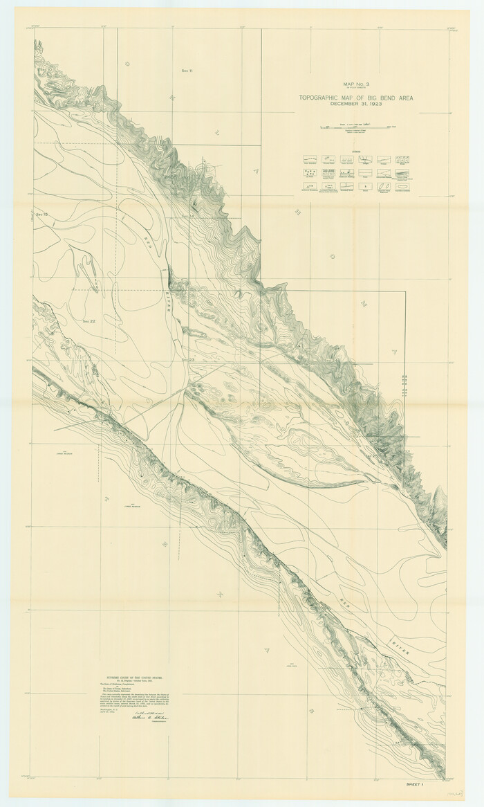

Print $40.00
Topographic Map of Big Bend Area
1923
Size 59.0 x 35.4 inches
Map/Doc 79756
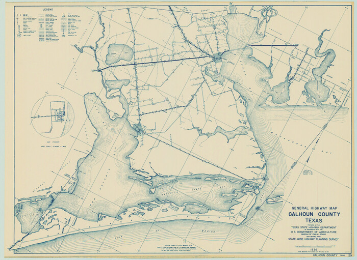
General Highway Map, Calhoun County, Texas

Print $20.00
General Highway Map, Calhoun County, Texas
1940
Size 18.5 x 25.3 inches
Map/Doc 79036
Karte von Texas entworfen nach den Vermessungen, welche in den Acten der General-Land-Office der Republic liegen bis zum Jahr 1839 von Richard S. Hunt & Jesse F. Randel


Print $20.00
Karte von Texas entworfen nach den Vermessungen, welche in den Acten der General-Land-Office der Republic liegen bis zum Jahr 1839 von Richard S. Hunt & Jesse F. Randel
1841
Size 19.6 x 14.6 inches
Map/Doc 79311
You may also like
Flight Mission No. DQN-3K, Frame 74, Calhoun County

Print $20.00
- Digital $50.00
Flight Mission No. DQN-3K, Frame 74, Calhoun County
1953
Size 16.2 x 16.1 inches
Map/Doc 84365
Shelby County Working Sketch Graphic Index


Print $20.00
- Digital $50.00
Shelby County Working Sketch Graphic Index
1945
Size 42.9 x 44.3 inches
Map/Doc 76697
Flight Mission No. BRE-2P, Frame 98, Nueces County

Print $20.00
- Digital $50.00
Flight Mission No. BRE-2P, Frame 98, Nueces County
1956
Size 18.5 x 22.4 inches
Map/Doc 86783
Hill County Sketch File 25

Print $4.00
- Digital $50.00
Hill County Sketch File 25
Size 7.9 x 10.9 inches
Map/Doc 26520
Howard County Working Sketch 4
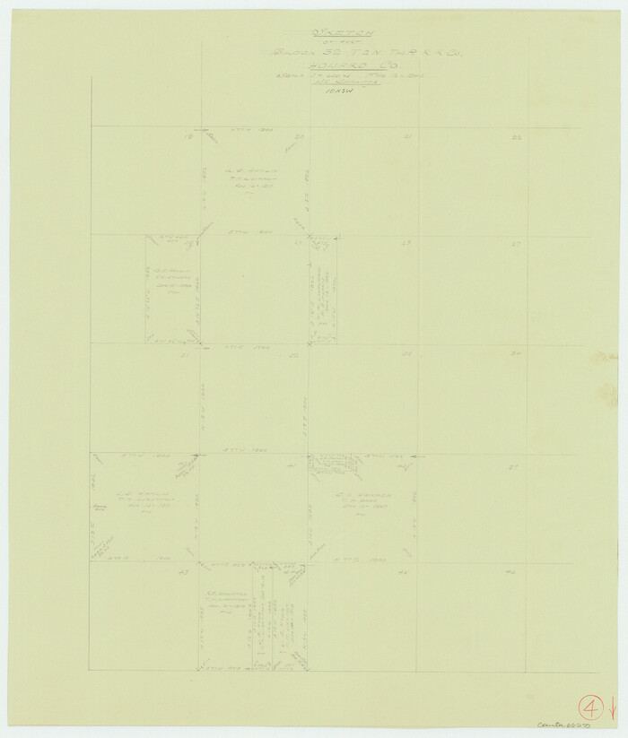

Print $20.00
- Digital $50.00
Howard County Working Sketch 4
1940
Size 21.5 x 18.3 inches
Map/Doc 66270
[Sketch showing Runnels County School Land survey and surrounding surveys]
![93112, [Sketch showing Runnels County School Land survey and surrounding surveys], Twichell Survey Records](https://historictexasmaps.com/wmedia_w700/maps/93112-1.tif.jpg)
![93112, [Sketch showing Runnels County School Land survey and surrounding surveys], Twichell Survey Records](https://historictexasmaps.com/wmedia_w700/maps/93112-1.tif.jpg)
Print $20.00
- Digital $50.00
[Sketch showing Runnels County School Land survey and surrounding surveys]
Size 21.4 x 14.3 inches
Map/Doc 93112
Aransas County Rolled Sketch 23
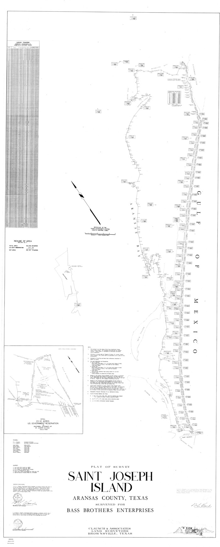

Print $40.00
- Digital $50.00
Aransas County Rolled Sketch 23
1970
Size 90.9 x 38.8 inches
Map/Doc 8417
Bosque County Working Sketch 8
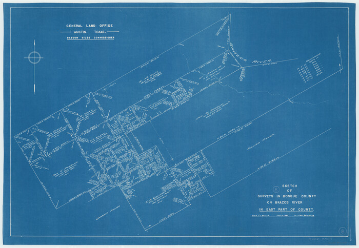

Print $20.00
- Digital $50.00
Bosque County Working Sketch 8
1942
Size 23.1 x 33.4 inches
Map/Doc 67441
Controlled Mosaic by Jack Amman Photogrammetric Engineers, Inc - Sheet 18
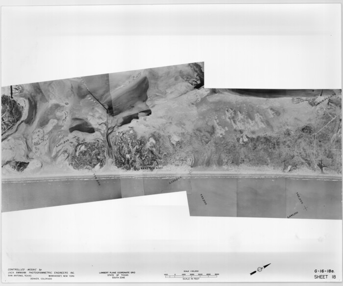

Print $20.00
- Digital $50.00
Controlled Mosaic by Jack Amman Photogrammetric Engineers, Inc - Sheet 18
1954
Size 20.0 x 24.0 inches
Map/Doc 83462
Hardin County Sketch File 10

Print $4.00
- Digital $50.00
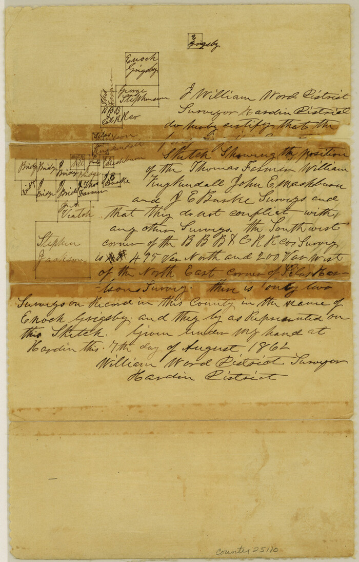
Hardin County Sketch File 10
1862
Size 12.5 x 8.0 inches
Map/Doc 25110
[Capitol Leagues 661-729]
![92979, [Capitol Leagues 661-729], Twichell Survey Records](https://historictexasmaps.com/wmedia_w700/maps/92979-1.tif.jpg)
![92979, [Capitol Leagues 661-729], Twichell Survey Records](https://historictexasmaps.com/wmedia_w700/maps/92979-1.tif.jpg)
Print $20.00
- Digital $50.00
[Capitol Leagues 661-729]
Size 24.2 x 24.9 inches
Map/Doc 92979
Knox County Working Sketch 2

Print $20.00
- Digital $50.00
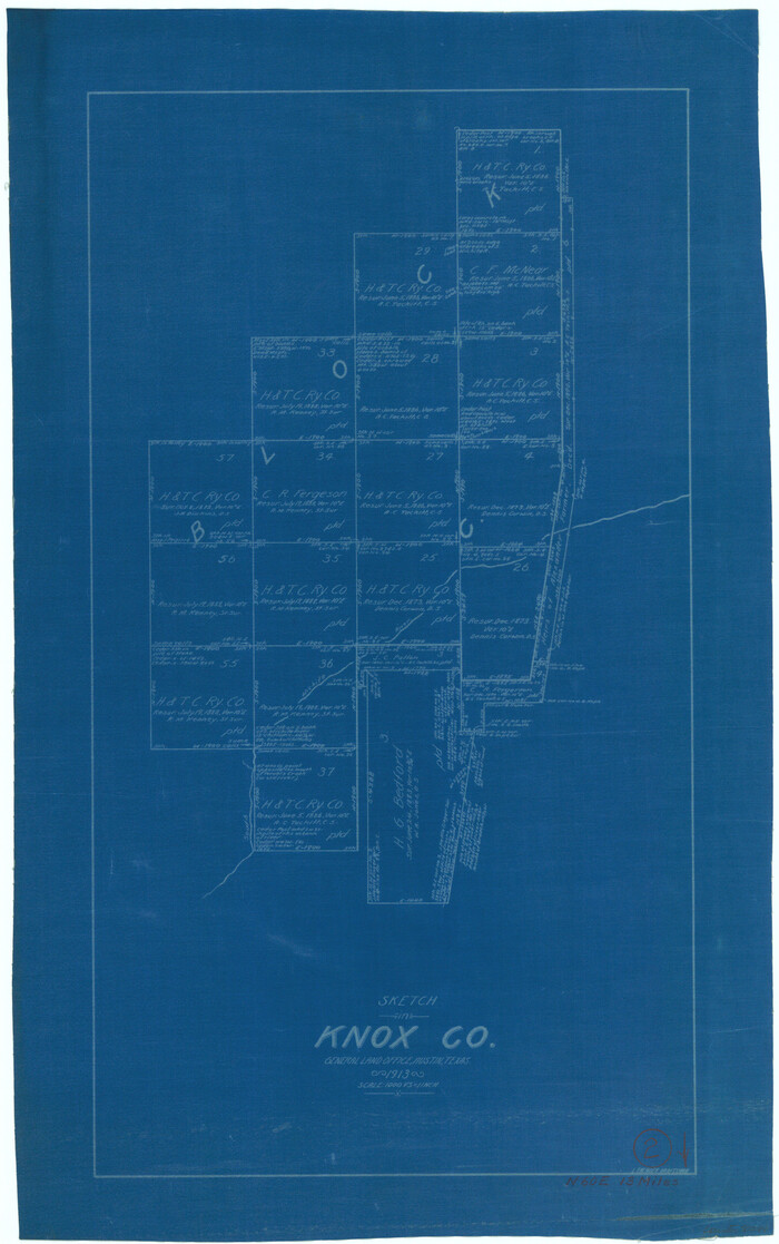
Knox County Working Sketch 2
1913
Size 22.7 x 14.2 inches
Map/Doc 70244
![79390, General Highway Map. Detail of Cities and Towns in Brown County, Texas [Brownwood and vicinity], Texas State Library and Archives](https://historictexasmaps.com/wmedia_w1800h1800/maps/79390.tif.jpg)
