[Capitol Leagues 661-729]
110-54
-
Map/Doc
92979
-
Collection
Twichell Survey Records
-
Counties
Hockley Lamb
-
Height x Width
24.2 x 24.9 inches
61.5 x 63.3 cm
Part of: Twichell Survey Records
Gregg County School Land League 2


Print $20.00
- Digital $50.00
Gregg County School Land League 2
Size 15.6 x 15.5 inches
Map/Doc 90613
Garza County Plat


Print $20.00
- Digital $50.00
Garza County Plat
1948
Size 21.1 x 17.7 inches
Map/Doc 92703
[City of Lamesa and vicinity]
![92593, [City of Lamesa and vicinity], Twichell Survey Records](https://historictexasmaps.com/wmedia_w700/maps/92593-1.tif.jpg)
![92593, [City of Lamesa and vicinity], Twichell Survey Records](https://historictexasmaps.com/wmedia_w700/maps/92593-1.tif.jpg)
Print $20.00
- Digital $50.00
[City of Lamesa and vicinity]
1946
Size 33.9 x 10.5 inches
Map/Doc 92593
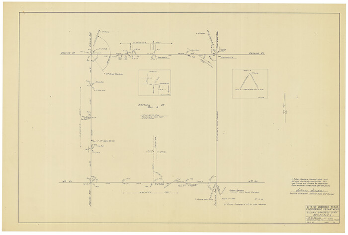
Sylvan Sanders Survey Section 20, Block A

Print $20.00
- Digital $50.00
Sylvan Sanders Survey Section 20, Block A
1952
Size 37.0 x 25.1 inches
Map/Doc 92722
[Blocks Surrounding Block T]
![92891, [Blocks Surrounding Block T], Twichell Survey Records](https://historictexasmaps.com/wmedia_w700/maps/92891-1.tif.jpg)
![92891, [Blocks Surrounding Block T], Twichell Survey Records](https://historictexasmaps.com/wmedia_w700/maps/92891-1.tif.jpg)
Print $20.00
- Digital $50.00
[Blocks Surrounding Block T]
Size 20.8 x 24.3 inches
Map/Doc 92891
[Lamb County, Block A]
![90991, [Lamb County, Block A], Twichell Survey Records](https://historictexasmaps.com/wmedia_w700/maps/90991-1.tif.jpg)
![90991, [Lamb County, Block A], Twichell Survey Records](https://historictexasmaps.com/wmedia_w700/maps/90991-1.tif.jpg)
Print $20.00
- Digital $50.00
[Lamb County, Block A]
Size 22.9 x 17.9 inches
Map/Doc 90991
Chapman and Farlin Producing Co. Cogdell Ranch Kent County, Texas


Print $20.00
- Digital $50.00
Chapman and Farlin Producing Co. Cogdell Ranch Kent County, Texas
1951
Size 12.6 x 16.6 inches
Map/Doc 92193
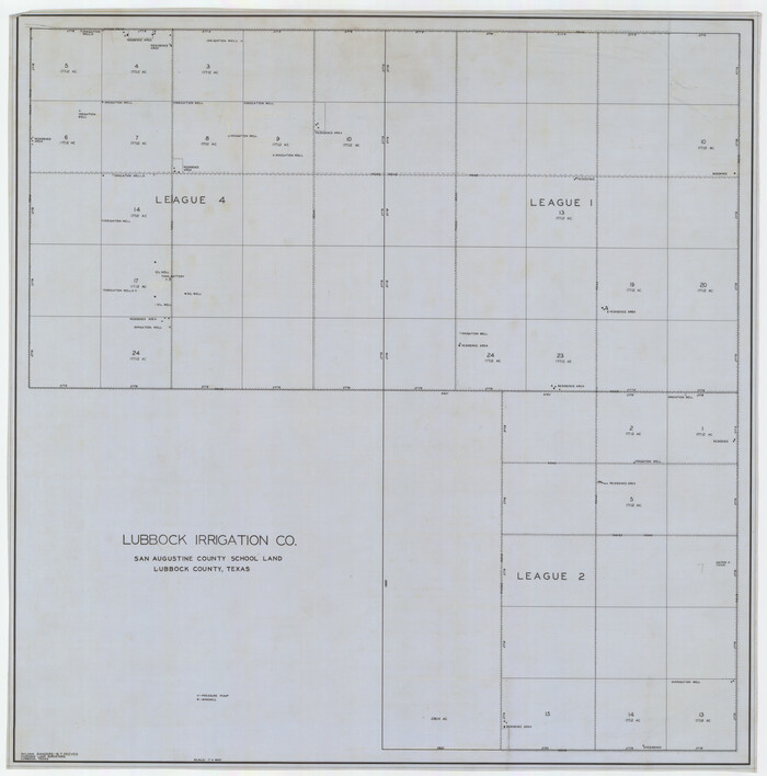
Lubbock Irrigation Co. San Augustine County School Land Lubbock County, Texas

Print $20.00
- Digital $50.00
Lubbock Irrigation Co. San Augustine County School Land Lubbock County, Texas
Size 37.5 x 37.9 inches
Map/Doc 89894
[Sketch showing I. & G. N. Block 1 along river, Runnels County School Land and Ira G. Yates]
![91595, [Sketch showing I. & G. N. Block 1 along river, Runnels County School Land and Ira G. Yates], Twichell Survey Records](https://historictexasmaps.com/wmedia_w700/maps/91595-1.tif.jpg)
![91595, [Sketch showing I. & G. N. Block 1 along river, Runnels County School Land and Ira G. Yates], Twichell Survey Records](https://historictexasmaps.com/wmedia_w700/maps/91595-1.tif.jpg)
Print $20.00
- Digital $50.00
[Sketch showing I. & G. N. Block 1 along river, Runnels County School Land and Ira G. Yates]
Size 17.2 x 23.3 inches
Map/Doc 91595
[North Part of Block G]
![92637, [North Part of Block G], Twichell Survey Records](https://historictexasmaps.com/wmedia_w700/maps/92637-1.tif.jpg)
![92637, [North Part of Block G], Twichell Survey Records](https://historictexasmaps.com/wmedia_w700/maps/92637-1.tif.jpg)
Print $20.00
- Digital $50.00
[North Part of Block G]
Size 24.1 x 19.7 inches
Map/Doc 92637
[Blocks DT, P, CK, C2, and D7]
![91307, [Blocks DT, P, CK, C2, and D7], Twichell Survey Records](https://historictexasmaps.com/wmedia_w700/maps/91307-1.tif.jpg)
![91307, [Blocks DT, P, CK, C2, and D7], Twichell Survey Records](https://historictexasmaps.com/wmedia_w700/maps/91307-1.tif.jpg)
Print $20.00
- Digital $50.00
[Blocks DT, P, CK, C2, and D7]
Size 23.6 x 9.6 inches
Map/Doc 91307
[Section 35 1/2, Block C-41]
![92967, [Section 35 1/2, Block C-41], Twichell Survey Records](https://historictexasmaps.com/wmedia_w700/maps/92967-1.tif.jpg)
![92967, [Section 35 1/2, Block C-41], Twichell Survey Records](https://historictexasmaps.com/wmedia_w700/maps/92967-1.tif.jpg)
Print $20.00
- Digital $50.00
[Section 35 1/2, Block C-41]
1951
Size 23.9 x 9.2 inches
Map/Doc 92967
You may also like
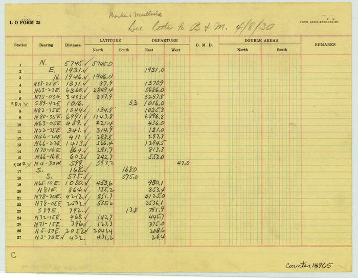
Brewster County Sketch File NS-4e

Print $26.00
- Digital $50.00
Brewster County Sketch File NS-4e
1930
Size 8.7 x 11.2 inches
Map/Doc 15965
Scurry County Rolled Sketch 13
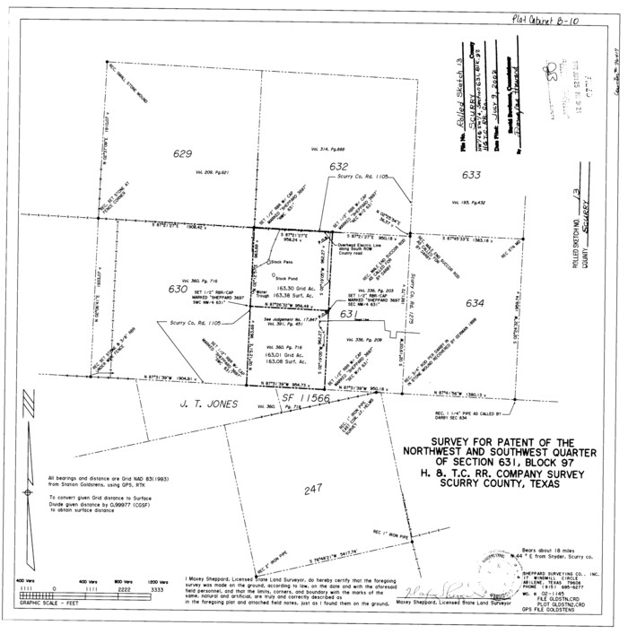

Print $20.00
- Digital $50.00
Scurry County Rolled Sketch 13
2002
Size 19.4 x 19.2 inches
Map/Doc 76417
Kleberg County Rolled Sketch 10-3
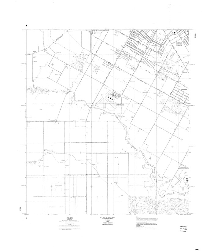

Print $20.00
- Digital $50.00
Kleberg County Rolled Sketch 10-3
1951
Size 37.5 x 32.0 inches
Map/Doc 9388
Hutchinson County Sketch File 4a
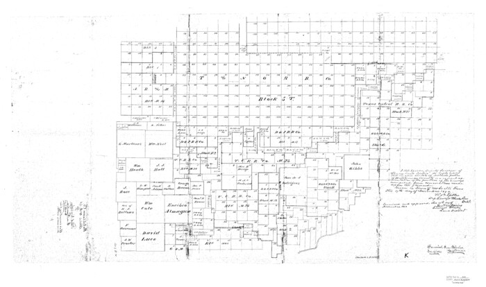

Print $7.00
- Digital $50.00
Hutchinson County Sketch File 4a
Size 25.9 x 43.8 inches
Map/Doc 10625
Mitchell County Working Sketch 2
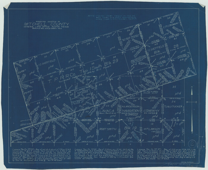

Print $20.00
- Digital $50.00
Mitchell County Working Sketch 2
1922
Size 14.8 x 18.1 inches
Map/Doc 71059
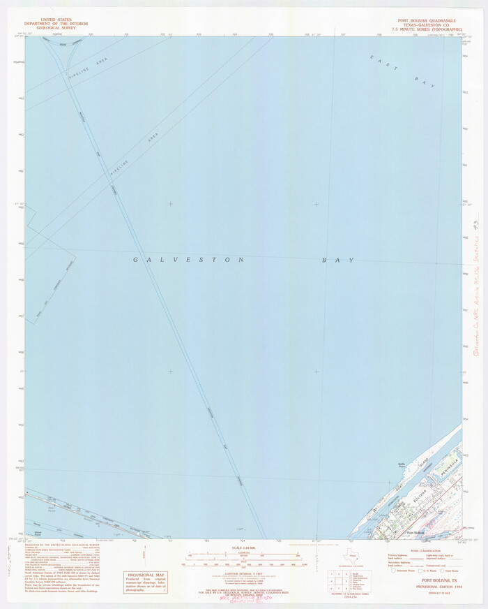
Galveston County NRC Article 33.136 Location Key Sheet

Print $20.00
- Digital $50.00
Galveston County NRC Article 33.136 Location Key Sheet
1994
Size 27.0 x 21.8 inches
Map/Doc 77021
[T. & P. RR. Co. Blocks 31-36, Townships 3N, 4N and 5N and surrounding area]
![93135, [T. & P. RR. Co. Blocks 31-36, Townships 3N, 4N and 5N and surrounding area], Twichell Survey Records](https://historictexasmaps.com/wmedia_w700/maps/93135-1.tif.jpg)
![93135, [T. & P. RR. Co. Blocks 31-36, Townships 3N, 4N and 5N and surrounding area], Twichell Survey Records](https://historictexasmaps.com/wmedia_w700/maps/93135-1.tif.jpg)
Print $40.00
- Digital $50.00
[T. & P. RR. Co. Blocks 31-36, Townships 3N, 4N and 5N and surrounding area]
Size 51.3 x 51.5 inches
Map/Doc 93135
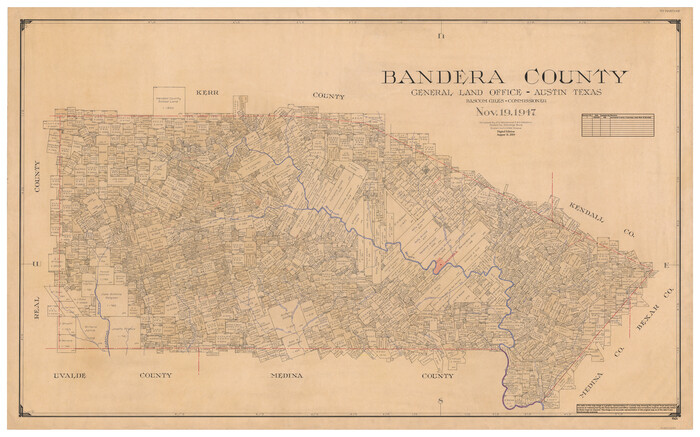
Bandera County

Print $40.00
- Digital $50.00
Bandera County
1947
Size 34.2 x 55.3 inches
Map/Doc 95424
Map of San Patricio County


Print $20.00
- Digital $50.00
Map of San Patricio County
1883
Size 17.2 x 26.8 inches
Map/Doc 4017
Taylor County Sketch File 23


Print $19.00
- Digital $50.00
Taylor County Sketch File 23
2005
Size 11.0 x 8.5 inches
Map/Doc 87114
Freestone County Working Sketch 11


Print $40.00
- Digital $50.00
Freestone County Working Sketch 11
1978
Size 31.4 x 51.4 inches
Map/Doc 69253
![92979, [Capitol Leagues 661-729], Twichell Survey Records](https://historictexasmaps.com/wmedia_w1800h1800/maps/92979-1.tif.jpg)
