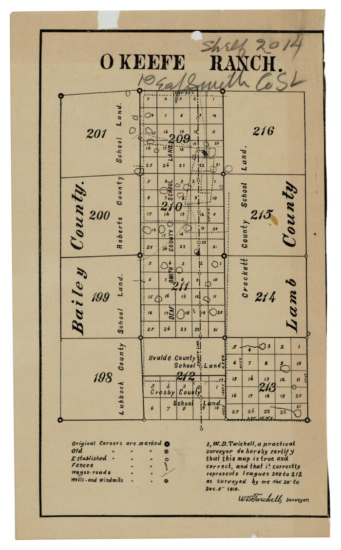
[T. & P. RR. Co. Blocks 31-36, Townships 3N, 4N and 5N and surrounding area]
58-24
-
Map/Doc
93135
-
Collection
Twichell Survey Records
-
People and Organizations
W.D. Twichell (Surveyor/Engineer)
-
Counties
Dawson Borden Howard Lynn
-
Height x Width
51.3 x 51.5 inches
130.3 x 130.8 cm
Part of: Twichell Survey Records
T and P as Surveyed January 1876, Blocks 35-36


Print $40.00
- Digital $50.00
T and P as Surveyed January 1876, Blocks 35-36
1876
Size 29.0 x 95.2 inches
Map/Doc 93184
Sketch of Surveys in Crosby & Garza Cos.
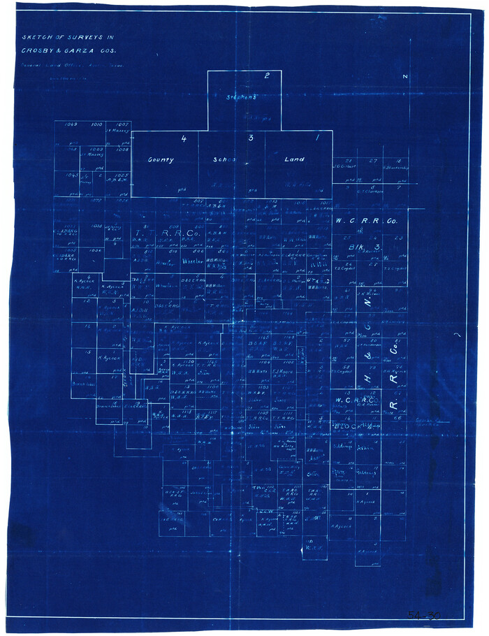

Print $20.00
- Digital $50.00
Sketch of Surveys in Crosby & Garza Cos.
Size 18.0 x 23.8 inches
Map/Doc 90347
[Blocks 44 and 6T]
![91410, [Blocks 44 and 6T], Twichell Survey Records](https://historictexasmaps.com/wmedia_w700/maps/91410-1.tif.jpg)
![91410, [Blocks 44 and 6T], Twichell Survey Records](https://historictexasmaps.com/wmedia_w700/maps/91410-1.tif.jpg)
Print $20.00
- Digital $50.00
[Blocks 44 and 6T]
Size 29.3 x 17.4 inches
Map/Doc 91410
Sandhills Water Rights Survey, City of Lubbock, Texas


Print $40.00
- Digital $50.00
Sandhills Water Rights Survey, City of Lubbock, Texas
1957
Size 76.1 x 31.4 inches
Map/Doc 93211
Richland Hills Addition to Muleshoe, Bailey County, Texas
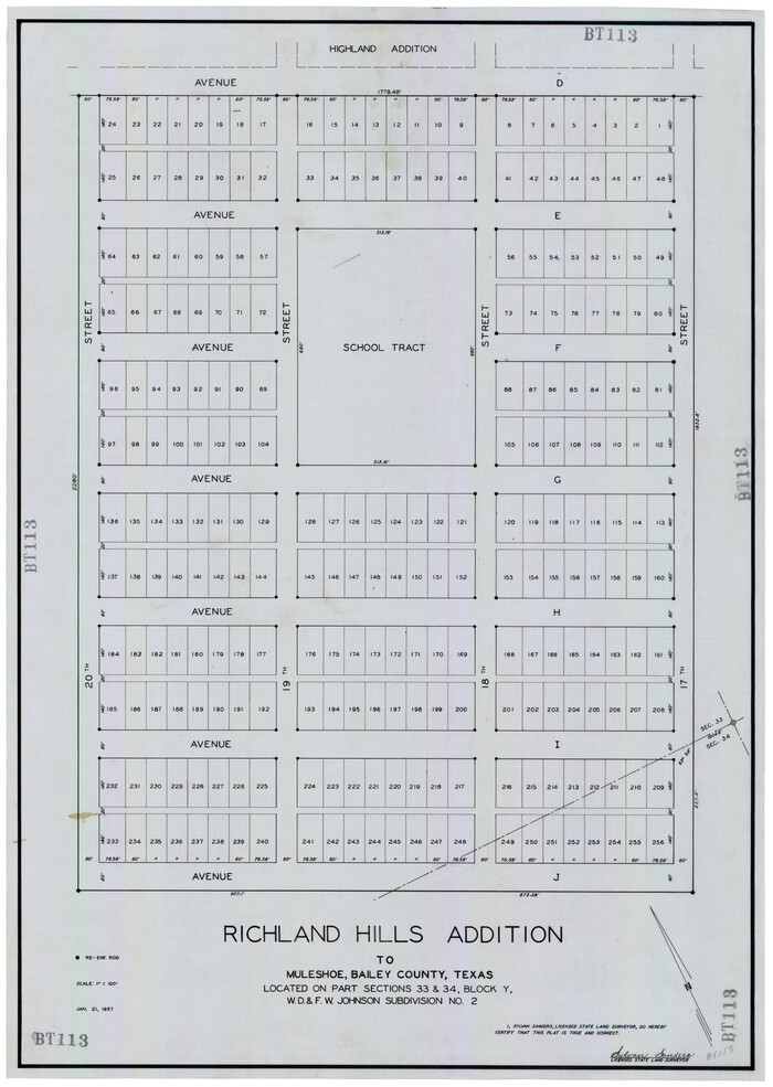

Print $20.00
- Digital $50.00
Richland Hills Addition to Muleshoe, Bailey County, Texas
1957
Size 22.9 x 31.8 inches
Map/Doc 92532
[Area around John P. Rohus Survey]
![91913, [Area around John P. Rohus Survey], Twichell Survey Records](https://historictexasmaps.com/wmedia_w700/maps/91913-1.tif.jpg)
![91913, [Area around John P. Rohus Survey], Twichell Survey Records](https://historictexasmaps.com/wmedia_w700/maps/91913-1.tif.jpg)
Print $20.00
- Digital $50.00
[Area around John P. Rohus Survey]
Size 19.7 x 19.7 inches
Map/Doc 91913
[Hockley, Lubbock, Terry and Lynn Corner]
![92954, [Hockley, Lubbock, Terry and Lynn Corner], Twichell Survey Records](https://historictexasmaps.com/wmedia_w700/maps/92954-1.tif.jpg)
![92954, [Hockley, Lubbock, Terry and Lynn Corner], Twichell Survey Records](https://historictexasmaps.com/wmedia_w700/maps/92954-1.tif.jpg)
Print $20.00
- Digital $50.00
[Hockley, Lubbock, Terry and Lynn Corner]
Size 24.5 x 18.9 inches
Map/Doc 92954
[Leagues 633-737]
![91107, [Leagues 633-737], Twichell Survey Records](https://historictexasmaps.com/wmedia_w700/maps/91107-1.tif.jpg)
![91107, [Leagues 633-737], Twichell Survey Records](https://historictexasmaps.com/wmedia_w700/maps/91107-1.tif.jpg)
Print $20.00
- Digital $50.00
[Leagues 633-737]
Size 23.9 x 19.6 inches
Map/Doc 91107
Adrian Heights Adition (sic) to Adrian Located in Section 16, Block K11
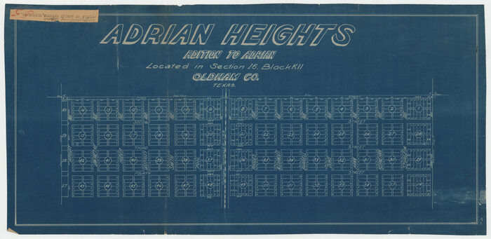

Print $2.00
- Digital $50.00
Adrian Heights Adition (sic) to Adrian Located in Section 16, Block K11
Size 15.6 x 7.7 inches
Map/Doc 92096
[Original Muleshoe and vicinity]
![92504, [Original Muleshoe and vicinity], Twichell Survey Records](https://historictexasmaps.com/wmedia_w700/maps/92504-1.tif.jpg)
![92504, [Original Muleshoe and vicinity], Twichell Survey Records](https://historictexasmaps.com/wmedia_w700/maps/92504-1.tif.jpg)
Print $20.00
- Digital $50.00
[Original Muleshoe and vicinity]
Size 36.0 x 23.6 inches
Map/Doc 92504
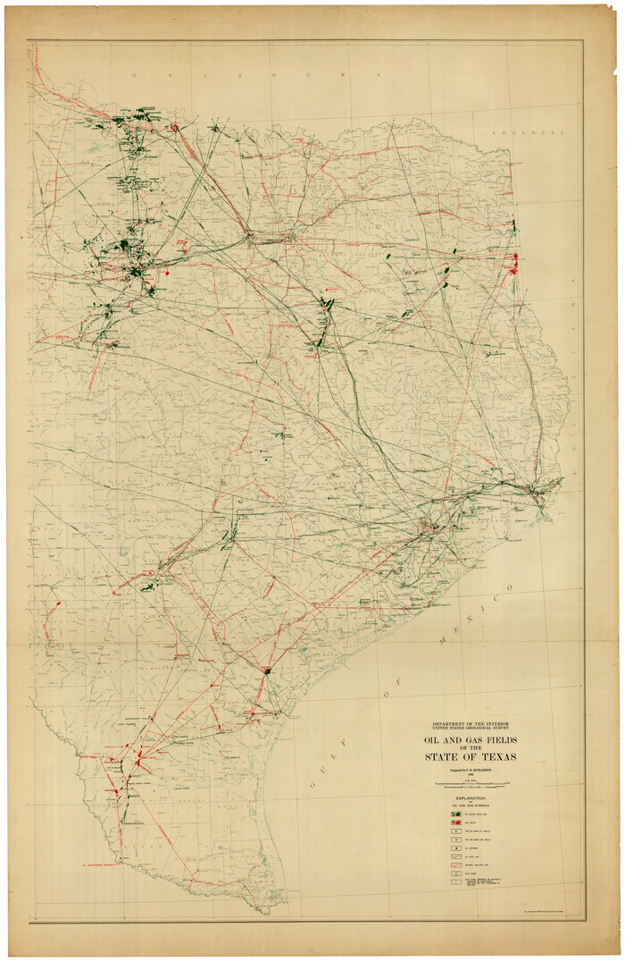
Oil and Gas Fields of the State of Texas

Print $40.00
- Digital $50.00
Oil and Gas Fields of the State of Texas
1931
Size 38.4 x 59.2 inches
Map/Doc 89885
You may also like
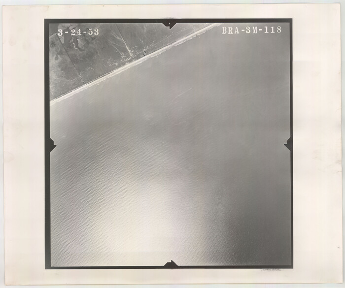
Flight Mission No. BRA-3M, Frame 118, Jefferson County

Print $20.00
- Digital $50.00
Flight Mission No. BRA-3M, Frame 118, Jefferson County
1953
Size 18.6 x 22.3 inches
Map/Doc 85392
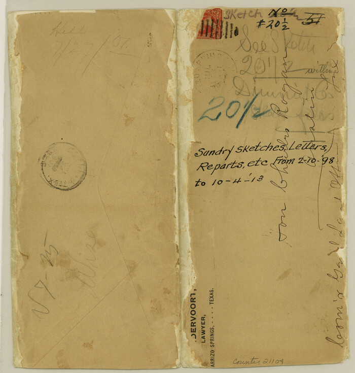
Dimmit County Sketch File 20 1/2

Print $43.00
- Digital $50.00
Dimmit County Sketch File 20 1/2
Size 9.0 x 8.6 inches
Map/Doc 21104
Aeroplane view of business district Amarillo, Texas


Print $20.00
Aeroplane view of business district Amarillo, Texas
1912
Size 18.9 x 21.4 inches
Map/Doc 93467
[FT. W. & R. G. Ry. Right of Way Map, Winchell to Brady, McCulloch County, Texas]
![61415, [FT. W. & R. G. Ry. Right of Way Map, Winchell to Brady, McCulloch County, Texas], General Map Collection](https://historictexasmaps.com/wmedia_w700/maps/61415.tif.jpg)
![61415, [FT. W. & R. G. Ry. Right of Way Map, Winchell to Brady, McCulloch County, Texas], General Map Collection](https://historictexasmaps.com/wmedia_w700/maps/61415.tif.jpg)
Print $40.00
- Digital $50.00
[FT. W. & R. G. Ry. Right of Way Map, Winchell to Brady, McCulloch County, Texas]
1918
Size 38.2 x 122.0 inches
Map/Doc 61415
Hansford County Sketch File 1


Print $7.00
- Digital $50.00
Hansford County Sketch File 1
1888
Size 39.0 x 31.3 inches
Map/Doc 10475
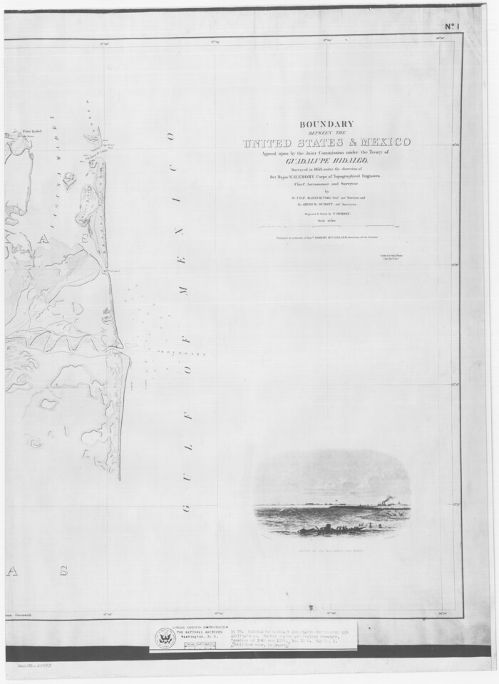
Boundary Between the United States & Mexico Agreed Upon by the Joint Commission under the Treaty of Guadalupe Hidalgo

Print $4.00
- Digital $50.00
Boundary Between the United States & Mexico Agreed Upon by the Joint Commission under the Treaty of Guadalupe Hidalgo
1853
Size 24.9 x 18.1 inches
Map/Doc 65393
United States - Gulf Coast - Galveston to Rio Grande
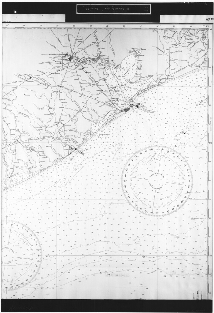

Print $20.00
- Digital $50.00
United States - Gulf Coast - Galveston to Rio Grande
1949
Size 26.6 x 18.2 inches
Map/Doc 72756
Flight Mission No. BRE-1P, Frame 66, Nueces County


Print $20.00
- Digital $50.00
Flight Mission No. BRE-1P, Frame 66, Nueces County
1956
Size 18.5 x 22.4 inches
Map/Doc 86648
Flight Mission No. BRA-6M, Frame 153, Jefferson County


Print $20.00
- Digital $50.00
Flight Mission No. BRA-6M, Frame 153, Jefferson County
1953
Size 18.5 x 22.2 inches
Map/Doc 85454
Close-up: USA - Arizona, New Mexico, Utah, Colorado


Close-up: USA - Arizona, New Mexico, Utah, Colorado
Size 35.0 x 22.9 inches
Map/Doc 96843
Wichita County Working Sketch 19


Print $20.00
- Digital $50.00
Wichita County Working Sketch 19
1949
Size 18.1 x 30.9 inches
Map/Doc 72529
Sterling County Rolled Sketch 23A

Print $131.00
- Digital $50.00
Sterling County Rolled Sketch 23A
Size 10.6 x 15.2 inches
Map/Doc 49032
![93135, [T. & P. RR. Co. Blocks 31-36, Townships 3N, 4N and 5N and surrounding area], Twichell Survey Records](https://historictexasmaps.com/wmedia_w1800h1800/maps/93135-1.tif.jpg)
