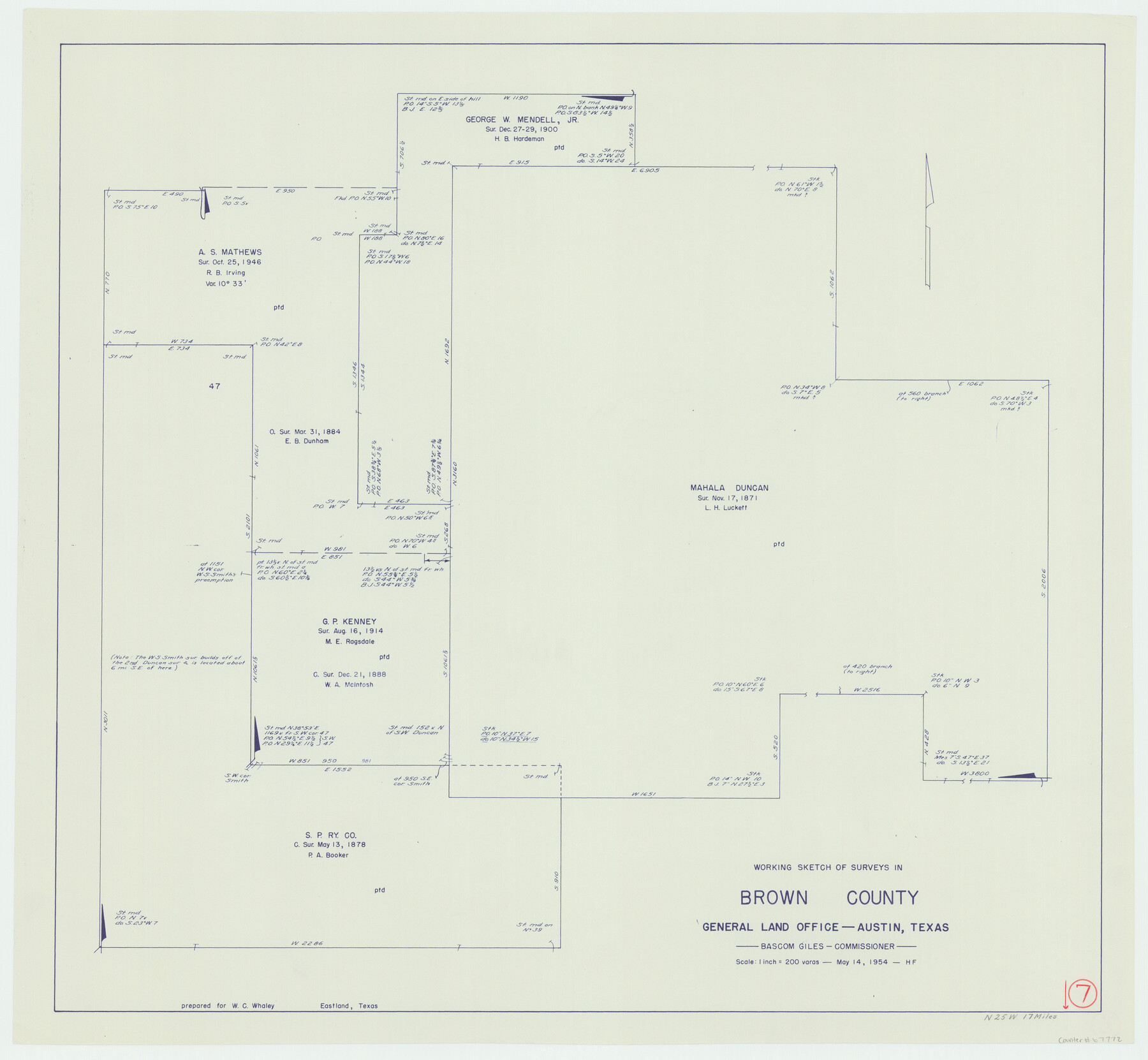
Brown County Working Sketch 7
-
Map/Doc
67772
-
Collection
General Map Collection
-
Object Dates
5/14/1954 (Creation Date)
-
People and Organizations
Herman Forbes (Draftsman)
-
Counties
Brown
-
Subjects
Surveying Working Sketch
-
Height x Width
26.5 x 28.7 inches
67.3 x 72.9 cm
-
Scale
1" = 200 varas
Part of: General Map Collection
Fractional Township No. 7 South Range No. 19 East of the Indian Meridian, Indian Territory

Print $20.00
- Digital $50.00
Fractional Township No. 7 South Range No. 19 East of the Indian Meridian, Indian Territory
1897
Size 19.2 x 24.3 inches
Map/Doc 75235
Refugio County Sketch File 17a

Print $2.00
- Digital $50.00
Refugio County Sketch File 17a
1916
Size 11.4 x 9.0 inches
Map/Doc 35275
Refugio County Working Sketch 2

Print $20.00
- Digital $50.00
Refugio County Working Sketch 2
1927
Size 17.6 x 19.4 inches
Map/Doc 63511
Duval County Working Sketch 28

Print $20.00
- Digital $50.00
Duval County Working Sketch 28
1948
Size 29.7 x 37.4 inches
Map/Doc 68752
Atascosa County Rolled Sketch R

Print $20.00
- Digital $50.00
Atascosa County Rolled Sketch R
Size 19.6 x 19.6 inches
Map/Doc 5103
[Right of Way and Track Map, the Missouri, Kansas and Texas Ry. of Texas - Henrietta Division]
![64759, [Right of Way and Track Map, the Missouri, Kansas and Texas Ry. of Texas - Henrietta Division], General Map Collection](https://historictexasmaps.com/wmedia_w700/maps/64759.tif.jpg)
Print $20.00
- Digital $50.00
[Right of Way and Track Map, the Missouri, Kansas and Texas Ry. of Texas - Henrietta Division]
1918
Size 11.9 x 26.8 inches
Map/Doc 64759
Bandera County Sketch File 32

Print $52.00
- Digital $50.00
Bandera County Sketch File 32
1966
Size 23.6 x 20.0 inches
Map/Doc 10901
Atascosa County Boundary File 4

Print $80.00
- Digital $50.00
Atascosa County Boundary File 4
Size 30.6 x 59.2 inches
Map/Doc 50177
Fort Bend County Rolled Sketch 16

Print $20.00
- Digital $50.00
Fort Bend County Rolled Sketch 16
1890
Size 29.3 x 26.5 inches
Map/Doc 5900
Jack County Sketch File 14

Print $8.00
- Digital $50.00
Jack County Sketch File 14
1857
Size 10.0 x 5.7 inches
Map/Doc 27539
Flight Mission No. DIX-6P, Frame 124, Aransas County

Print $20.00
- Digital $50.00
Flight Mission No. DIX-6P, Frame 124, Aransas County
1956
Size 19.0 x 22.4 inches
Map/Doc 83830
Hutchinson County Rolled Sketch 40

Print $20.00
- Digital $50.00
Hutchinson County Rolled Sketch 40
1981
Size 26.2 x 37.4 inches
Map/Doc 6305
You may also like
Wilbarger County Working Sketch 4

Print $20.00
- Digital $50.00
Wilbarger County Working Sketch 4
1925
Size 14.6 x 17.1 inches
Map/Doc 72542
[T. & G. Ry. Main Line, Texas, Right of Way Map, Center to Gary]
![64571, [T. & G. Ry. Main Line, Texas, Right of Way Map, Center to Gary], General Map Collection](https://historictexasmaps.com/wmedia_w700/maps/64571-1.tif.jpg)
Print $40.00
- Digital $50.00
[T. & G. Ry. Main Line, Texas, Right of Way Map, Center to Gary]
1917
Size 31.9 x 121.1 inches
Map/Doc 64571
G. C. & S. F. Ry. Northern-Division, Alignment and Right of Way Map, Weatherford Branch, Johnson and Hood Counties, Texas

Print $40.00
- Digital $50.00
G. C. & S. F. Ry. Northern-Division, Alignment and Right of Way Map, Weatherford Branch, Johnson and Hood Counties, Texas
1935
Size 37.2 x 121.7 inches
Map/Doc 64647
Cottle County Sketch File 9

Print $6.00
- Digital $50.00
Cottle County Sketch File 9
1893
Size 16.4 x 10.8 inches
Map/Doc 19487
Outline Map showing a new route from Texas to Fort Yuma, California for cattle droves and trains en route to California

Print $40.00
- Digital $50.00
Outline Map showing a new route from Texas to Fort Yuma, California for cattle droves and trains en route to California
1870
Size 17.3 x 52.7 inches
Map/Doc 94048
El Paso County Working Sketch 24

Print $20.00
- Digital $50.00
El Paso County Working Sketch 24
1961
Size 26.4 x 22.0 inches
Map/Doc 69046
Midland County Sketch File 18

Print $4.00
- Digital $50.00
Midland County Sketch File 18
Size 14.7 x 8.1 inches
Map/Doc 31585
Anderson County Working Sketch 24

Print $20.00
- Digital $50.00
Anderson County Working Sketch 24
1917
Size 16.6 x 15.3 inches
Map/Doc 67024
Irion County Boundary File 3

Print $38.00
- Digital $50.00
Irion County Boundary File 3
Size 8.8 x 4.2 inches
Map/Doc 55339
[Right of Way Map, Belton Branch of the M.K.&T. RR.]
![64228, [Right of Way Map, Belton Branch of the M.K.&T. RR.], General Map Collection](https://historictexasmaps.com/wmedia_w700/maps/64228.tif.jpg)
Print $20.00
- Digital $50.00
[Right of Way Map, Belton Branch of the M.K.&T. RR.]
1896
Size 22.1 x 7.3 inches
Map/Doc 64228
Working Sketch on East Line of Fisher County [from Main Elm Fork of Brazos River along county line to Justo Rodriguez Survey 357]
![90918, Working Sketch on East Line of Fisher County [from Main Elm Fork of Brazos River along county line to Justo Rodriguez Survey 357], Twichell Survey Records](https://historictexasmaps.com/wmedia_w700/maps/90918-1.tif.jpg)
Print $20.00
- Digital $50.00
Working Sketch on East Line of Fisher County [from Main Elm Fork of Brazos River along county line to Justo Rodriguez Survey 357]
1901
Size 17.2 x 22.4 inches
Map/Doc 90918
Montgomery County Rolled Sketch 36

Print $20.00
- Digital $50.00
Montgomery County Rolled Sketch 36
1956
Size 25.8 x 23.6 inches
Map/Doc 6812