Montgomery County Rolled Sketch 36
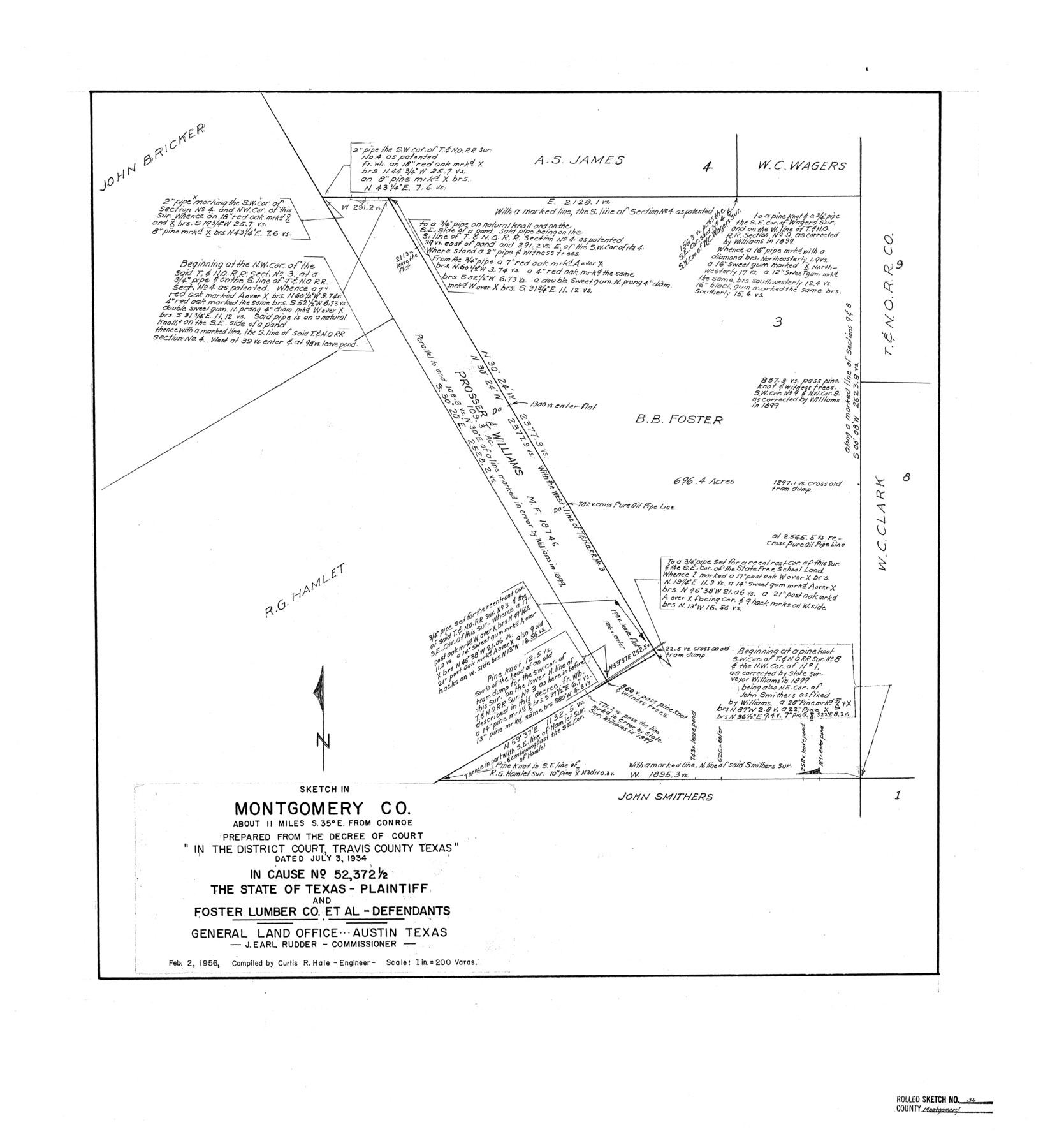
Sketch in Montgomery Co. prepared from the Decree of Court in the District Court, Travis County, Texas dated July 3, 1934 in Cause no. 52,372 1/2 the State of Texas - Plaintiff and Foster Lumber Co. et al - Defendants
-
Map/Doc
6812
-
Collection
General Map Collection
-
Object Dates
2/2/1956 (Creation Date)
-
People and Organizations
Curtis R. Hale (Surveyor/Engineer)
-
Counties
Montgomery
-
Subjects
Surveying Rolled Sketch
-
Height x Width
25.8 x 23.6 inches
65.5 x 59.9 cm
-
Scale
1" = 200 varas
Part of: General Map Collection
Knox County Working Sketch 16

Print $20.00
- Digital $50.00
Knox County Working Sketch 16
1963
Size 21.9 x 22.0 inches
Map/Doc 70258

Jefferson County Sketch file 30

Print $22.00
- Digital $50.00
Jefferson County Sketch file 30
1917
Size 11.2 x 8.8 inches
Map/Doc 28194

Foard County Boundary File 4a

Print $40.00
- Digital $50.00
Foard County Boundary File 4a
Size 16.9 x 45.4 inches
Map/Doc 53522
Hood County Working Sketch 31

Print $20.00
- Digital $50.00
Hood County Working Sketch 31
1998
Size 33.6 x 35.8 inches
Map/Doc 66225
Lipscomb County Rolled Sketch 7

Print $20.00
- Digital $50.00
Lipscomb County Rolled Sketch 7
1968
Size 23.6 x 23.4 inches
Map/Doc 6630
Ellis County Sketch File 16

Print $4.00
- Digital $50.00
Ellis County Sketch File 16
Size 13.1 x 8.3 inches
Map/Doc 21858
Coke County Rolled Sketch 11

Print $20.00
- Digital $50.00
Coke County Rolled Sketch 11
1949
Size 32.6 x 26.3 inches
Map/Doc 5512
Midland County Working Sketch 16

Print $40.00
- Digital $50.00
Midland County Working Sketch 16
1953
Size 61.7 x 32.6 inches
Map/Doc 70996
Real County Working Sketch 30

Print $20.00
- Digital $50.00
Real County Working Sketch 30
1947
Size 28.6 x 16.3 inches
Map/Doc 71922
Sabine County Working Sketch 6

Print $20.00
- Digital $50.00
Sabine County Working Sketch 6
1918
Size 17.5 x 17.6 inches
Map/Doc 63677
You may also like
San Jacinto County Rolled Sketch 9

Print $20.00
- Digital $50.00
San Jacinto County Rolled Sketch 9
1944
Size 39.9 x 36.8 inches
Map/Doc 9881
Colonial Texas. 1822 to 1834.

Print $20.00
- Digital $50.00
Colonial Texas. 1822 to 1834.
1897
Size 12.8 x 16.3 inches
Map/Doc 93410
[Sketch highlighting Bob Reid and Fred Turner surveys]
![91694, [Sketch highlighting Bob Reid and Fred Turner surveys], Twichell Survey Records](https://historictexasmaps.com/wmedia_w700/maps/91694-1.tif.jpg)
Print $20.00
- Digital $50.00
[Sketch highlighting Bob Reid and Fred Turner surveys]
Size 12.5 x 17.6 inches
Map/Doc 91694
Township No. 1 North Range No. 26 West of the Indian Meridian

Print $20.00
- Digital $50.00
Township No. 1 North Range No. 26 West of the Indian Meridian
1874
Size 19.3 x 24.4 inches
Map/Doc 75171
Orange County Working Sketch 41

Print $20.00
- Digital $50.00
Orange County Working Sketch 41
1979
Size 28.0 x 18.2 inches
Map/Doc 71373
El Paso County Rolled Sketch 48

Print $20.00
- Digital $50.00
El Paso County Rolled Sketch 48
1960
Size 15.4 x 18.3 inches
Map/Doc 5834
Presidio County Rolled Sketch 143

Print $20.00
- Digital $50.00
Presidio County Rolled Sketch 143
Size 40.2 x 36.8 inches
Map/Doc 90046
Trinity River, Drop Sheet/Denton Creek

Print $20.00
- Digital $50.00
Trinity River, Drop Sheet/Denton Creek
1940
Size 36.9 x 34.0 inches
Map/Doc 65257
Flight Mission No. CUG-1P, Frame 79, Kleberg County

Print $20.00
- Digital $50.00
Flight Mission No. CUG-1P, Frame 79, Kleberg County
1956
Size 18.7 x 22.2 inches
Map/Doc 86144
[H.& G.N. Block B3 in NE corner of County]
![90272, [H.& G.N. Block B3 in NE corner of County], Twichell Survey Records](https://historictexasmaps.com/wmedia_w700/maps/90272-1.tif.jpg)
Print $3.00
- Digital $50.00
[H.& G.N. Block B3 in NE corner of County]
Size 13.8 x 9.7 inches
Map/Doc 90272

Map of the Missouri Pacific and St. Louis, Iron Mountain and Southern Railways and Connections

Print $20.00
- Digital $50.00
Map of the Missouri Pacific and St. Louis, Iron Mountain and Southern Railways and Connections
1895
Size 17.8 x 31.8 inches
Map/Doc 95790