[T. & G. Ry. Main Line, Texas, Right of Way Map, Center to Gary]
[M.P. 140 to M.P. 161 through Shelby & Panola Counties]
Z-2-177
-
Map/Doc
64571
-
Collection
General Map Collection
-
Object Dates
1917 (Creation Date)
-
Counties
Shelby Panola San Augustine
-
Subjects
Railroads
-
Height x Width
31.9 x 121.1 inches
81.0 x 307.6 cm
-
Medium
blueprint/diazo
-
Scale
1" = 400 feet
-
Comments
Sheet 2; see counter no. 64568 for Segment 1; see counter number 64569 for segment 2 and counter nos. 64570 and 64572 for sheet 2.
-
Features
GC&SF
Highway Number 18
Tenaha
State Highway Number 35
HE&WT
[Railroad line] to Timpson
[Road] to Carthage
[Road] to Shreveport
[Road] to Timpson
Saxet
Part of: General Map Collection
Pecos County Sketch File 48


Print $4.00
- Digital $50.00
Pecos County Sketch File 48
1935
Size 14.3 x 8.8 inches
Map/Doc 33762
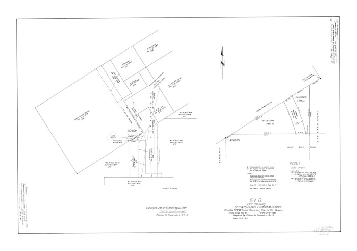
Harris County Rolled Sketch 90

Print $20.00
- Digital $50.00
Harris County Rolled Sketch 90
1981
Size 30.6 x 43.6 inches
Map/Doc 6129
Zavala County


Print $40.00
- Digital $50.00
Zavala County
1915
Size 39.6 x 48.3 inches
Map/Doc 63147
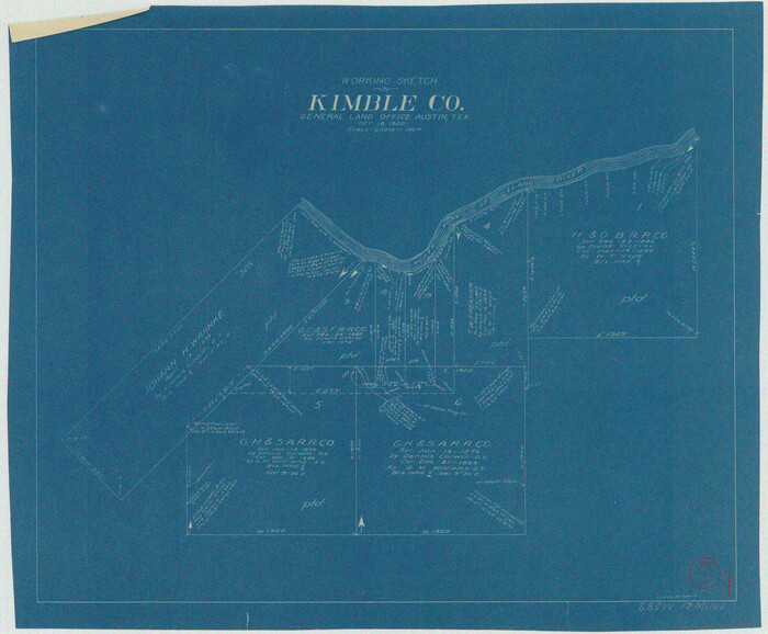
Kimble County Working Sketch 9

Print $20.00
- Digital $50.00
Kimble County Working Sketch 9
1920
Size 14.3 x 17.3 inches
Map/Doc 70077
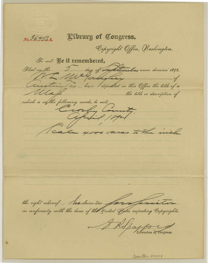
Crosby County Sketch File 34

Print $4.00
- Digital $50.00
Crosby County Sketch File 34
1892
Size 11.3 x 8.9 inches
Map/Doc 20104
Harris County NRC Article 33.136 Sketch 4


Print $22.00
- Digital $50.00
Harris County NRC Article 33.136 Sketch 4
2001
Size 36.1 x 24.3 inches
Map/Doc 61600
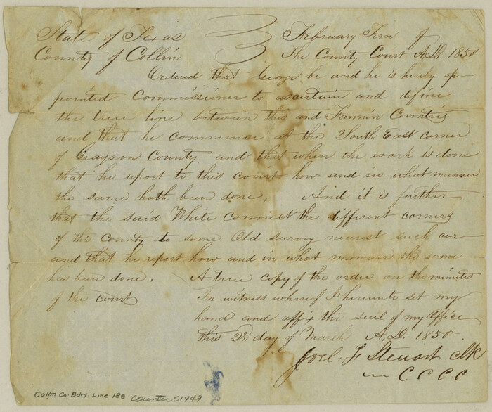
Collin County Boundary File 18e

Print $16.00
- Digital $50.00
Collin County Boundary File 18e
Size 6.8 x 8.1 inches
Map/Doc 51749
Jefferson County Rolled Sketch GA
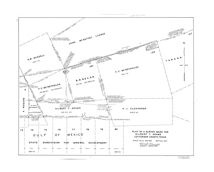

Print $20.00
- Digital $50.00
Jefferson County Rolled Sketch GA
1937
Size 29.5 x 36.7 inches
Map/Doc 6437
Plat of Re-survey Section 8, Block 66 1/2, Public School Land


Print $2.00
- Digital $50.00
Plat of Re-survey Section 8, Block 66 1/2, Public School Land
1972
Size 11.3 x 8.7 inches
Map/Doc 60299
St. Louis, Brownsville & Mexico Railway Location map from Mile 40 to Mile 60


Print $40.00
- Digital $50.00
St. Louis, Brownsville & Mexico Railway Location map from Mile 40 to Mile 60
1905
Size 19.6 x 74.9 inches
Map/Doc 64079
Cameron County Aerial Photograph Index Sheet 4


Print $20.00
- Digital $50.00
Cameron County Aerial Photograph Index Sheet 4
1955
Size 19.3 x 17.4 inches
Map/Doc 83676
Coleman County Sketch File 5
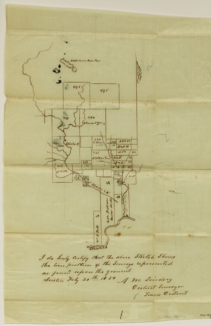

Print $3.00
- Digital $50.00
Coleman County Sketch File 5
1858
Size 15.2 x 9.9 inches
Map/Doc 18673
You may also like
Presidio County Sketch File 37A
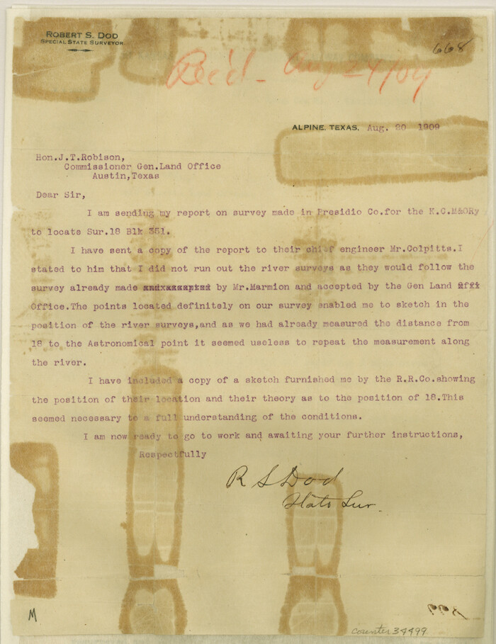

Print $18.00
- Digital $50.00
Presidio County Sketch File 37A
Size 11.4 x 8.8 inches
Map/Doc 34499
Map of Asylum & University lands situated on the waters of Hubbards Creek


Print $20.00
- Digital $50.00
Map of Asylum & University lands situated on the waters of Hubbards Creek
1857
Size 21.2 x 28.5 inches
Map/Doc 2491
Morris County Rolled Sketch 2A


Print $20.00
- Digital $50.00
Morris County Rolled Sketch 2A
Size 24.0 x 18.9 inches
Map/Doc 10244
Maps of Gulf Intracoastal Waterway, Texas - Sabine River to the Rio Grande and connecting waterways including ship channels
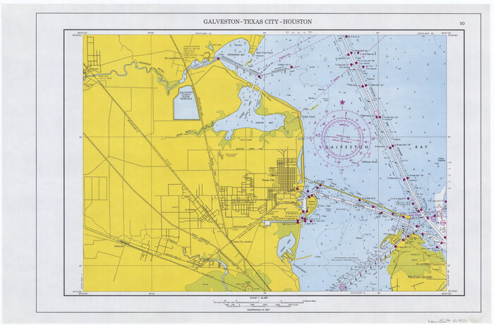

Print $20.00
- Digital $50.00
Maps of Gulf Intracoastal Waterway, Texas - Sabine River to the Rio Grande and connecting waterways including ship channels
1966
Size 14.6 x 22.2 inches
Map/Doc 61971
Val Verde County Sketch File A2


Print $10.00
- Digital $50.00
Val Verde County Sketch File A2
1916
Size 14.5 x 9.1 inches
Map/Doc 39041
Newton County Working Sketch 13


Print $20.00
- Digital $50.00
Newton County Working Sketch 13
1946
Size 34.4 x 34.2 inches
Map/Doc 71259
Ownership Map NE 1/4 Lubbock County [and attached letter]
![93025, Ownership Map NE 1/4 Lubbock County [and attached letter], Twichell Survey Records](https://historictexasmaps.com/wmedia_w700/maps/93025-1.tif.jpg)
![93025, Ownership Map NE 1/4 Lubbock County [and attached letter], Twichell Survey Records](https://historictexasmaps.com/wmedia_w700/maps/93025-1.tif.jpg)
Print $20.00
- Digital $50.00
Ownership Map NE 1/4 Lubbock County [and attached letter]
Size 36.3 x 39.3 inches
Map/Doc 93025
Crockett County Working Sketch 45
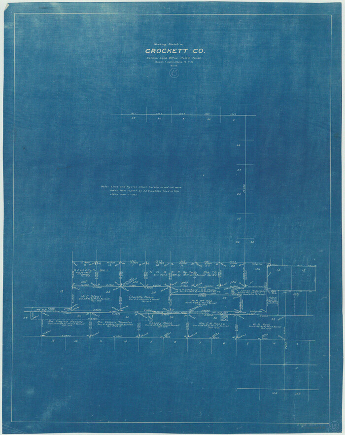

Print $20.00
- Digital $50.00
Crockett County Working Sketch 45
1933
Size 33.7 x 26.8 inches
Map/Doc 68378
Panola County Sketch File 30


Print $4.00
- Digital $50.00
Panola County Sketch File 30
1944
Size 2.8 x 8.9 inches
Map/Doc 33505
Hutchinson County Rolled Sketch 40


Print $20.00
- Digital $50.00
Hutchinson County Rolled Sketch 40
1981
Size 26.2 x 37.4 inches
Map/Doc 6305
Boundary Between the United States & Mexico Agreed Upon by the Joint Commission under the Treaty of Guadalupe Hidalgo


Print $4.00
- Digital $50.00
Boundary Between the United States & Mexico Agreed Upon by the Joint Commission under the Treaty of Guadalupe Hidalgo
1853
Size 24.5 x 18.4 inches
Map/Doc 65394
Angelina County Working Sketch 20
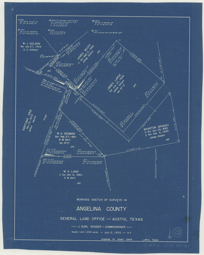

Print $20.00
- Digital $50.00
Angelina County Working Sketch 20
1955
Size 18.8 x 15.0 inches
Map/Doc 67101
![64571, [T. & G. Ry. Main Line, Texas, Right of Way Map, Center to Gary], General Map Collection](https://historictexasmaps.com/wmedia_w1800h1800/maps/64571-1.tif.jpg)