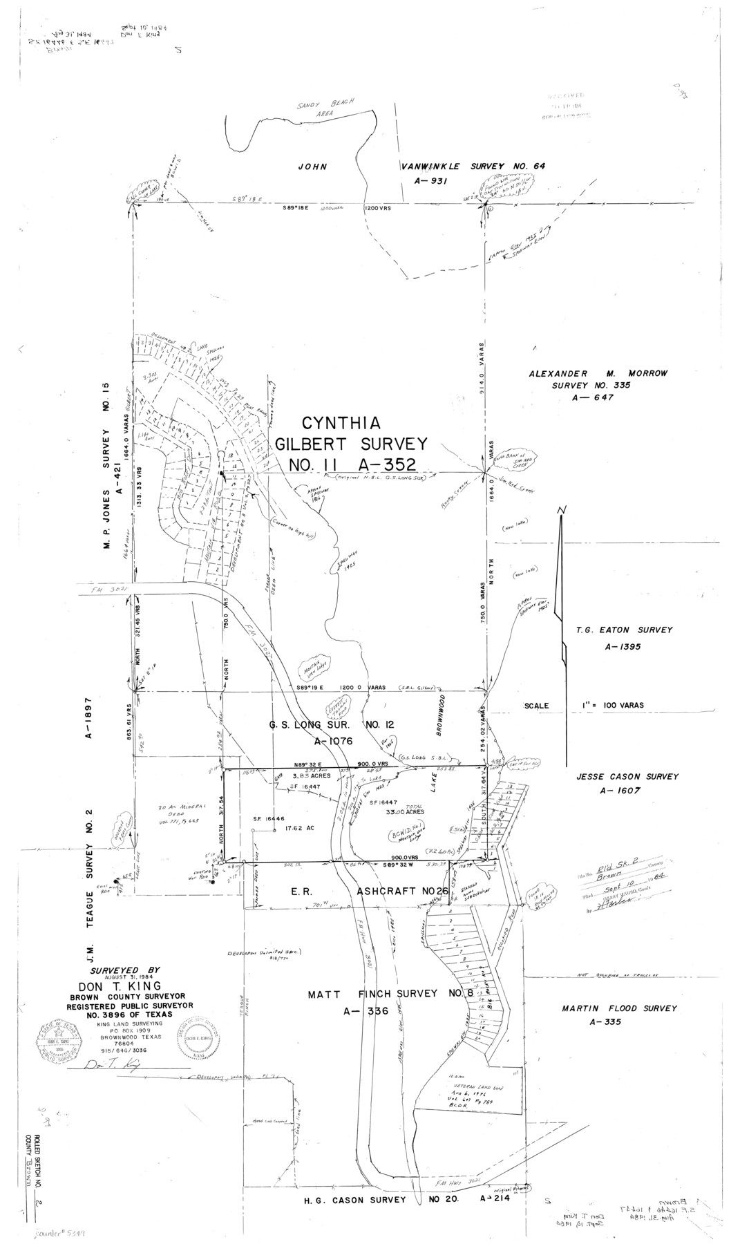
Brown County Rolled Sketch 2
[Sketch relating to S.F. 16446 & S.F. 16447]
-
Map/Doc
5349
-
Collection
General Map Collection
-
Object Dates
1984/8/31 (Creation Date)
1984/9/10 (File Date)
-
People and Organizations
Don T. King (Surveyor/Engineer)
-
Counties
Brown
-
Subjects
Surveying Rolled Sketch
-
Height x Width
42.4 x 25.2 inches
107.7 x 64.0 cm
-
Medium
mylar, print
-
Scale
1" = 100 varas
Part of: General Map Collection
San Augustine Co.

Print $40.00
- Digital $50.00
San Augustine Co.
1949
Size 48.9 x 32.2 inches
Map/Doc 95632
Flight Mission No. CRC-2R, Frame 189, Chambers County

Print $20.00
- Digital $50.00
Flight Mission No. CRC-2R, Frame 189, Chambers County
1956
Size 18.6 x 22.4 inches
Map/Doc 84767
Liberty County Working Sketch 50

Print $20.00
- Digital $50.00
Liberty County Working Sketch 50
1955
Size 22.4 x 33.5 inches
Map/Doc 70510
Map of Cameron County

Print $20.00
- Digital $50.00
Map of Cameron County
1873
Size 42.9 x 24.3 inches
Map/Doc 66744
La Salle County Rolled Sketch 16

Print $20.00
- Digital $50.00
La Salle County Rolled Sketch 16
1948
Size 26.7 x 20.9 inches
Map/Doc 6580
Flight Mission No. CON-4R, Frame 200, Stonewall County

Print $20.00
- Digital $50.00
Flight Mission No. CON-4R, Frame 200, Stonewall County
1957
Size 18.2 x 22.0 inches
Map/Doc 86994
Hopkins County Boundary File 3

Print $46.00
- Digital $50.00
Hopkins County Boundary File 3
Size 8.2 x 3.8 inches
Map/Doc 55059
Knox County Rolled Sketch 23

Print $20.00
- Digital $50.00
Knox County Rolled Sketch 23
1989
Size 34.4 x 29.0 inches
Map/Doc 76408
Dickens County Rolled Sketch 14

Print $40.00
- Digital $50.00
Dickens County Rolled Sketch 14
1981
Size 36.5 x 80.7 inches
Map/Doc 8792
Index for Texas Railroad ROW & track maps available on microfilm at THD & Archives and Records

Print $2.00
- Digital $50.00
Index for Texas Railroad ROW & track maps available on microfilm at THD & Archives and Records
1977
Size 11.1 x 8.9 inches
Map/Doc 60755
Hutchinson County Working Sketch 30

Print $20.00
- Digital $50.00
Hutchinson County Working Sketch 30
1978
Size 27.6 x 23.3 inches
Map/Doc 66390
Collingsworth County

Print $20.00
- Digital $50.00
Collingsworth County
1880
Size 24.9 x 20.0 inches
Map/Doc 3420
You may also like
Reeves County Rolled Sketch 31

Print $20.00
- Digital $50.00
Reeves County Rolled Sketch 31
Size 21.7 x 27.9 inches
Map/Doc 7500
Chambers County Aerial Photograph Index Sheet 3

Print $20.00
- Digital $50.00
Chambers County Aerial Photograph Index Sheet 3
1956
Size 20.5 x 15.7 inches
Map/Doc 83684
Menard County Rolled Sketch 17

Print $20.00
- Digital $50.00
Menard County Rolled Sketch 17
1950
Size 23.2 x 26.3 inches
Map/Doc 6763
[Sketch for Mineral Application 33721 - 33725 Incl. - Padre and Mustang Island]
![2873, [Sketch for Mineral Application 33721 - 33725 Incl. - Padre and Mustang Island], General Map Collection](https://historictexasmaps.com/wmedia_w700/maps/2873.tif.jpg)
Print $20.00
- Digital $50.00
[Sketch for Mineral Application 33721 - 33725 Incl. - Padre and Mustang Island]
1942
Size 26.6 x 22.7 inches
Map/Doc 2873
Ownership Map NW 1/4 Lubbock County

Print $20.00
- Digital $50.00
Ownership Map NW 1/4 Lubbock County
1926
Size 32.5 x 39.6 inches
Map/Doc 89698
Meadowbrook Villa a Subdivision in Section 77, Blk A

Print $20.00
- Digital $50.00
Meadowbrook Villa a Subdivision in Section 77, Blk A
Size 14.4 x 13.1 inches
Map/Doc 92768
Crockett County Working Sketch 23

Print $20.00
- Digital $50.00
Crockett County Working Sketch 23
1919
Size 35.1 x 33.7 inches
Map/Doc 68356
Flight Mission No. BRE-1P, Frame 32, Nueces County

Print $20.00
- Digital $50.00
Flight Mission No. BRE-1P, Frame 32, Nueces County
1956
Size 18.4 x 22.6 inches
Map/Doc 86628
Borden County Sketch File 8

Print $2.00
- Digital $50.00
Borden County Sketch File 8
1934
Size 11.5 x 7.3 inches
Map/Doc 14727
Brazos River, Ft. Griffin State Park/Mill Cr.-Clear Fork of Brazos River

Print $4.00
- Digital $50.00
Brazos River, Ft. Griffin State Park/Mill Cr.-Clear Fork of Brazos River
1940
Size 27.5 x 20.5 inches
Map/Doc 65291
Flight Mission No. DIX-7P, Frame 91, Aransas County

Print $20.00
- Digital $50.00
Flight Mission No. DIX-7P, Frame 91, Aransas County
1956
Size 18.7 x 22.4 inches
Map/Doc 83885
Travis County Sketch File 4

Print $9.00
- Digital $50.00
Travis County Sketch File 4
1853
Size 13.1 x 8.2 inches
Map/Doc 38275