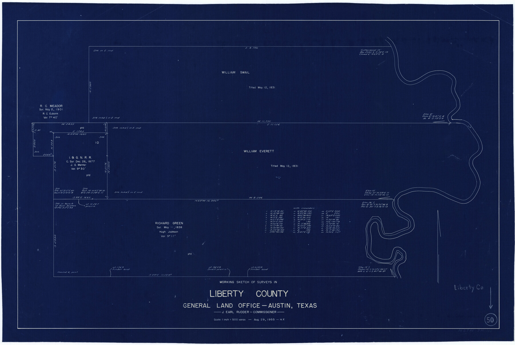
Liberty County Working Sketch 50
-
Map/Doc
70510
-
Collection
General Map Collection
-
Object Dates
8/29/1955 (Creation Date)
-
People and Organizations
Herman Forbes (Draftsman)
-
Counties
Liberty
-
Subjects
Surveying Working Sketch
-
Height x Width
22.4 x 33.5 inches
56.9 x 85.1 cm
-
Scale
1" = 500 varas
Part of: General Map Collection
Calhoun County NRC Article 33.136 Sketch 11

Digital $50.00
Calhoun County NRC Article 33.136 Sketch 11
2023
Map/Doc 97255
Hansford County Sketch File 11

Print $6.00
- Digital $50.00
Hansford County Sketch File 11
Size 11.2 x 8.7 inches
Map/Doc 24972
Liberty County Sketch File 27a

Print $4.00
- Digital $50.00
Liberty County Sketch File 27a
1870
Size 11.6 x 9.0 inches
Map/Doc 29950
San Jacinto County Rolled Sketch 12

Print $20.00
- Digital $50.00
San Jacinto County Rolled Sketch 12
1948
Size 24.2 x 32.5 inches
Map/Doc 7561
Right of Way and Track Map International & Gt Northern Ry. operated by the International & Gt. Northern Ry. Co., San Antonio Division

Print $40.00
- Digital $50.00
Right of Way and Track Map International & Gt Northern Ry. operated by the International & Gt. Northern Ry. Co., San Antonio Division
1917
Size 25.5 x 57.8 inches
Map/Doc 64789
Galveston County Sketch File 6

Print $4.00
- Digital $50.00
Galveston County Sketch File 6
Size 14.2 x 8.9 inches
Map/Doc 23362
Polk County Sketch File 25

Print $46.00
- Digital $50.00
Polk County Sketch File 25
Size 5.7 x 28.2 inches
Map/Doc 34176
Tom Green County Sketch File 55 1/2

Print $20.00
- Digital $50.00
Tom Green County Sketch File 55 1/2
1886
Size 26.4 x 13.6 inches
Map/Doc 12443
Map of the World on a Globular Projection to illustrate Olney's school geography

Print $20.00
- Digital $50.00
Map of the World on a Globular Projection to illustrate Olney's school geography
1844
Size 12.1 x 19.0 inches
Map/Doc 93535
[Nueces Bay, Mustang Island and Padre Island]
![73465, [Nueces Bay, Mustang Island and Padre Island], General Map Collection](https://historictexasmaps.com/wmedia_w700/maps/73465.tif.jpg)
Print $4.00
- Digital $50.00
[Nueces Bay, Mustang Island and Padre Island]
Size 18.1 x 24.7 inches
Map/Doc 73465
Zavala County Sketch File 35

Print $4.00
- Digital $50.00
Zavala County Sketch File 35
1887
Size 11.3 x 9.0 inches
Map/Doc 41397
[Right of Way Map, Belton Branch of the M.K.&T. RR.]
![64222, [Right of Way Map, Belton Branch of the M.K.&T. RR.], General Map Collection](https://historictexasmaps.com/wmedia_w700/maps/64222.tif.jpg)
Print $20.00
- Digital $50.00
[Right of Way Map, Belton Branch of the M.K.&T. RR.]
1896
Size 21.9 x 7.4 inches
Map/Doc 64222
You may also like
J. C. Davis Southeast Quarter, Section 3, Block E

Print $20.00
- Digital $50.00
J. C. Davis Southeast Quarter, Section 3, Block E
Size 30.3 x 29.8 inches
Map/Doc 92740

Shelby County Working Sketch 5

Print $20.00
- Digital $50.00
Shelby County Working Sketch 5
1941
Size 40.6 x 40.8 inches
Map/Doc 63858
Crane County Working Sketch 23

Print $20.00
- Digital $50.00
Crane County Working Sketch 23
1963
Size 25.8 x 23.2 inches
Map/Doc 68300
Zavalla County School Land Hockley County, Texas

Print $20.00
- Digital $50.00
Zavalla County School Land Hockley County, Texas
1956
Size 41.6 x 20.2 inches
Map/Doc 92254
Flight Mission No. CLL-1N, Frame 194, Willacy County

Print $20.00
- Digital $50.00
Flight Mission No. CLL-1N, Frame 194, Willacy County
1954
Size 18.5 x 22.1 inches
Map/Doc 87064
Garza County Sketch File G

Print $8.00
- Digital $50.00
Garza County Sketch File G
1904
Size 14.3 x 8.6 inches
Map/Doc 24026
Brewster County Sketch File N-31

Print $2.00
- Digital $50.00
Brewster County Sketch File N-31
1969
Size 12.9 x 9.0 inches
Map/Doc 15711
Sutton County Sketch File JAC (1)

Print $6.00
- Digital $50.00
Sutton County Sketch File JAC (1)
1937
Size 14.3 x 8.8 inches
Map/Doc 37502
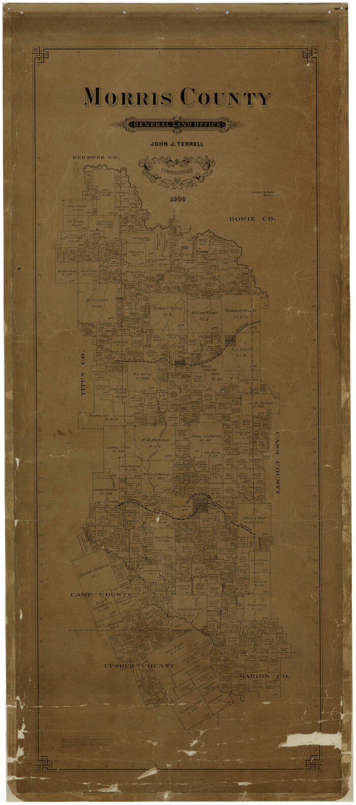
Morris County
Print $40.00
- Digital $50.00
Morris County
1906
Size 54.6 x 24.2 inches
Map/Doc 77094
Laneer vs. Bivins, Potter County, Texas

Print $20.00
- Digital $50.00
Laneer vs. Bivins, Potter County, Texas
Size 21.1 x 18.7 inches
Map/Doc 93098
Harris County Working Sketch 19

Print $40.00
- Digital $50.00
Harris County Working Sketch 19
1921
Size 42.5 x 55.0 inches
Map/Doc 65911