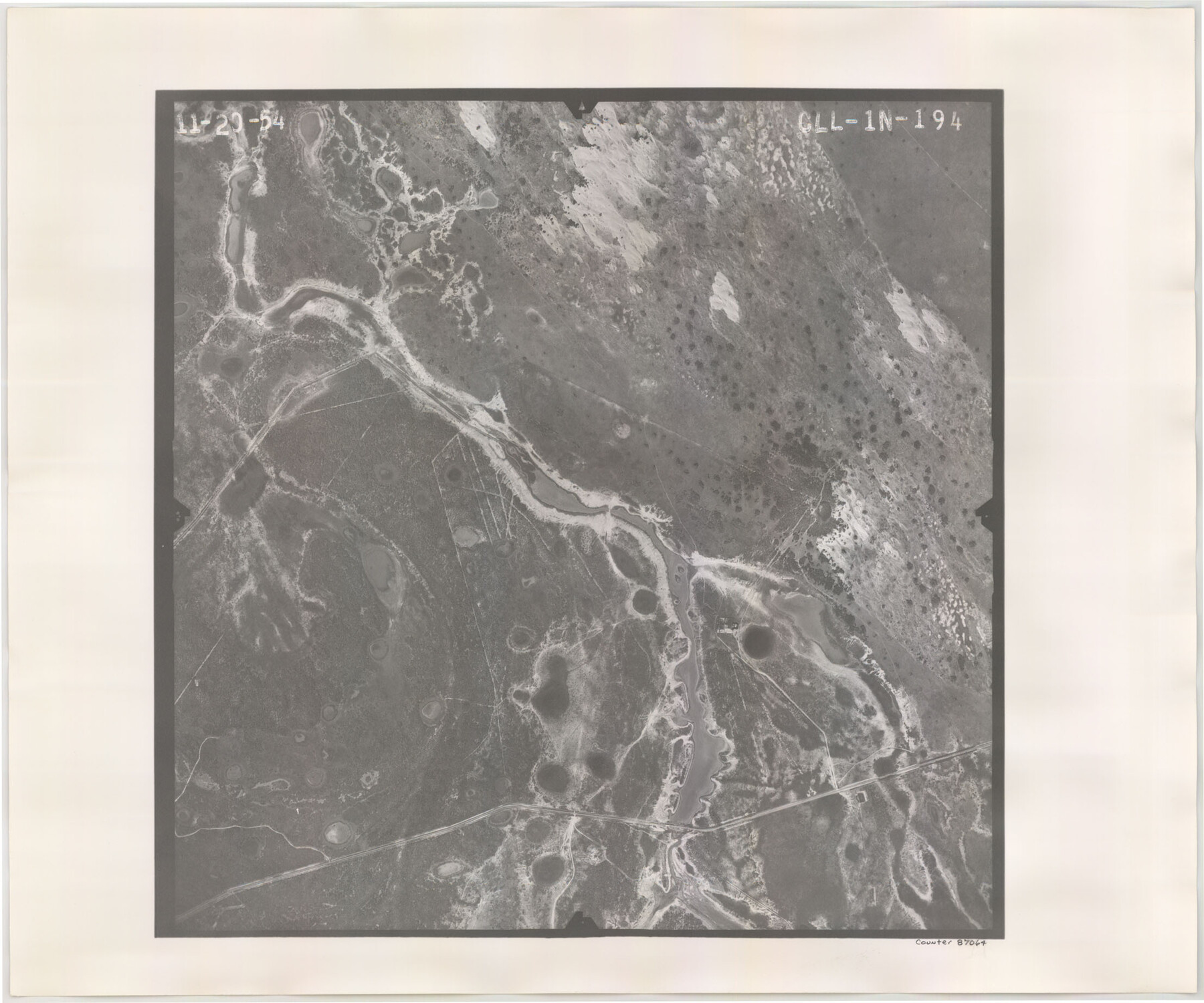
Flight Mission No. CLL-1N, Frame 194, Willacy County
CLL-1N-194
-
Map/Doc
87064
-
Collection
General Map Collection
-
Object Dates
1954/11/20 (Creation Date)
-
People and Organizations
U. S. Department of Agriculture (Publisher)
-
Counties
Willacy
-
Subjects
Aerial Photograph
-
Height x Width
18.5 x 22.1 inches
47.0 x 56.1 cm
-
Comments
Flown by Puckett Aerial Surveys, Inc. of Jackson, Mississippi.
Part of: General Map Collection
Liberty County Working Sketch 85

Print $20.00
- Digital $50.00
Liberty County Working Sketch 85
1987
Size 27.2 x 28.3 inches
Map/Doc 70545
Red River County Working Sketch 81-2

Print $20.00
- Digital $50.00
Red River County Working Sketch 81-2
1987
Size 14.6 x 18.6 inches
Map/Doc 72065
Panola County Sketch File 16

Print $4.00
- Digital $50.00
Panola County Sketch File 16
1882
Size 6.4 x 8.8 inches
Map/Doc 33476
Flight Mission No. BRE-1P, Frame 11, Nueces County

Print $20.00
- Digital $50.00
Flight Mission No. BRE-1P, Frame 11, Nueces County
1956
Size 18.6 x 22.6 inches
Map/Doc 86619
United States Bathymetric and Fishing Maps including Topographic/Bathymetric Maps

Print $40.00
- Digital $50.00
United States Bathymetric and Fishing Maps including Topographic/Bathymetric Maps
1992
Size 21.3 x 55.1 inches
Map/Doc 76127
Leon County Rolled Sketch 7

Print $40.00
- Digital $50.00
Leon County Rolled Sketch 7
1954
Size 55.9 x 35.0 inches
Map/Doc 9428
Flight Mission No. DIX-8P, Frame 60, Aransas County

Print $20.00
- Digital $50.00
Flight Mission No. DIX-8P, Frame 60, Aransas County
1956
Size 18.5 x 22.2 inches
Map/Doc 83891
Map of Stephens County

Print $20.00
- Digital $50.00
Map of Stephens County
1879
Size 24.0 x 19.6 inches
Map/Doc 4053
Coke County Rolled Sketch 23

Print $20.00
- Digital $50.00
Coke County Rolled Sketch 23
1944
Size 13.7 x 14.7 inches
Map/Doc 5524
Kimble County Rolled Sketch 42

Print $20.00
- Digital $50.00
Kimble County Rolled Sketch 42
1995
Size 37.7 x 47.8 inches
Map/Doc 9341
Collingsworth County

Print $20.00
- Digital $50.00
Collingsworth County
1880
Size 24.9 x 20.0 inches
Map/Doc 3420
Reagan County Working Sketch 37

Print $20.00
- Digital $50.00
Reagan County Working Sketch 37
1966
Size 34.3 x 45.1 inches
Map/Doc 71879
You may also like
Navasota and Grimes County, Texas

Navasota and Grimes County, Texas
Size 25.8 x 28.5 inches
Map/Doc 96865
Lamar County Working Sketch Graphic Index

Print $20.00
- Digital $50.00
Lamar County Working Sketch Graphic Index
1934
Size 47.9 x 37.5 inches
Map/Doc 76612
Coleman County

Print $40.00
- Digital $50.00
Coleman County
1945
Size 54.9 x 37.1 inches
Map/Doc 1803
Duval County Working Sketch 26

Print $20.00
- Digital $50.00
Duval County Working Sketch 26
1947
Size 34.8 x 36.9 inches
Map/Doc 68750
Tyler County Working Sketch 25

Print $20.00
- Digital $50.00
Tyler County Working Sketch 25
1909
Size 29.8 x 26.7 inches
Map/Doc 69495
Fannin County Sketch File 20b

Print $4.00
- Digital $50.00
Fannin County Sketch File 20b
1890
Size 14.2 x 8.9 inches
Map/Doc 22485
Ector County Working Sketch 1

Print $20.00
- Digital $50.00
Ector County Working Sketch 1
1930
Size 40.7 x 17.0 inches
Map/Doc 62182
[Sketch from Paul McCombs Map of 1884, showing T. & P. Township 5, Block 60, Township 6, Block 59, and Township 7, Blocks 59 and 60]
![91774, [Sketch from Paul McCombs Map of 1884, showing T. & P. Township 5, Block 60, Township 6, Block 59, and Township 7, Blocks 59 and 60], Twichell Survey Records](https://historictexasmaps.com/wmedia_w700/maps/91774-1.tif.jpg)
Print $2.00
- Digital $50.00
[Sketch from Paul McCombs Map of 1884, showing T. & P. Township 5, Block 60, Township 6, Block 59, and Township 7, Blocks 59 and 60]
Size 9.2 x 15.0 inches
Map/Doc 91774
Gaines County Working Sketch 34

Print $20.00
- Digital $50.00
Gaines County Working Sketch 34
1990
Size 21.0 x 20.2 inches
Map/Doc 69334
Maps of Gulf Intracoastal Waterway, Texas - Sabine River to the Rio Grande and connecting waterways including ship channels

Print $20.00
- Digital $50.00
Maps of Gulf Intracoastal Waterway, Texas - Sabine River to the Rio Grande and connecting waterways including ship channels
1966
Size 14.6 x 22.3 inches
Map/Doc 61925
[Map of Santa Fe Route - Atchison, Topeka, and Santa Fe Railroad]
![95866, [Map of Santa Fe Route - Atchison, Topeka, and Santa Fe Railroad], Cobb Digital Map Collection - 1](https://historictexasmaps.com/wmedia_w700/maps/95866.tif.jpg)
Print $40.00
- Digital $50.00
[Map of Santa Fe Route - Atchison, Topeka, and Santa Fe Railroad]
1893
Size 17.4 x 50.0 inches
Map/Doc 95866
[H. & G. N. Block 1, Sections 128-130]
![90948, [H. & G. N. Block 1, Sections 128-130], Twichell Survey Records](https://historictexasmaps.com/wmedia_w700/maps/90948-1.tif.jpg)
Print $20.00
- Digital $50.00
[H. & G. N. Block 1, Sections 128-130]
Size 36.6 x 11.9 inches
Map/Doc 90948