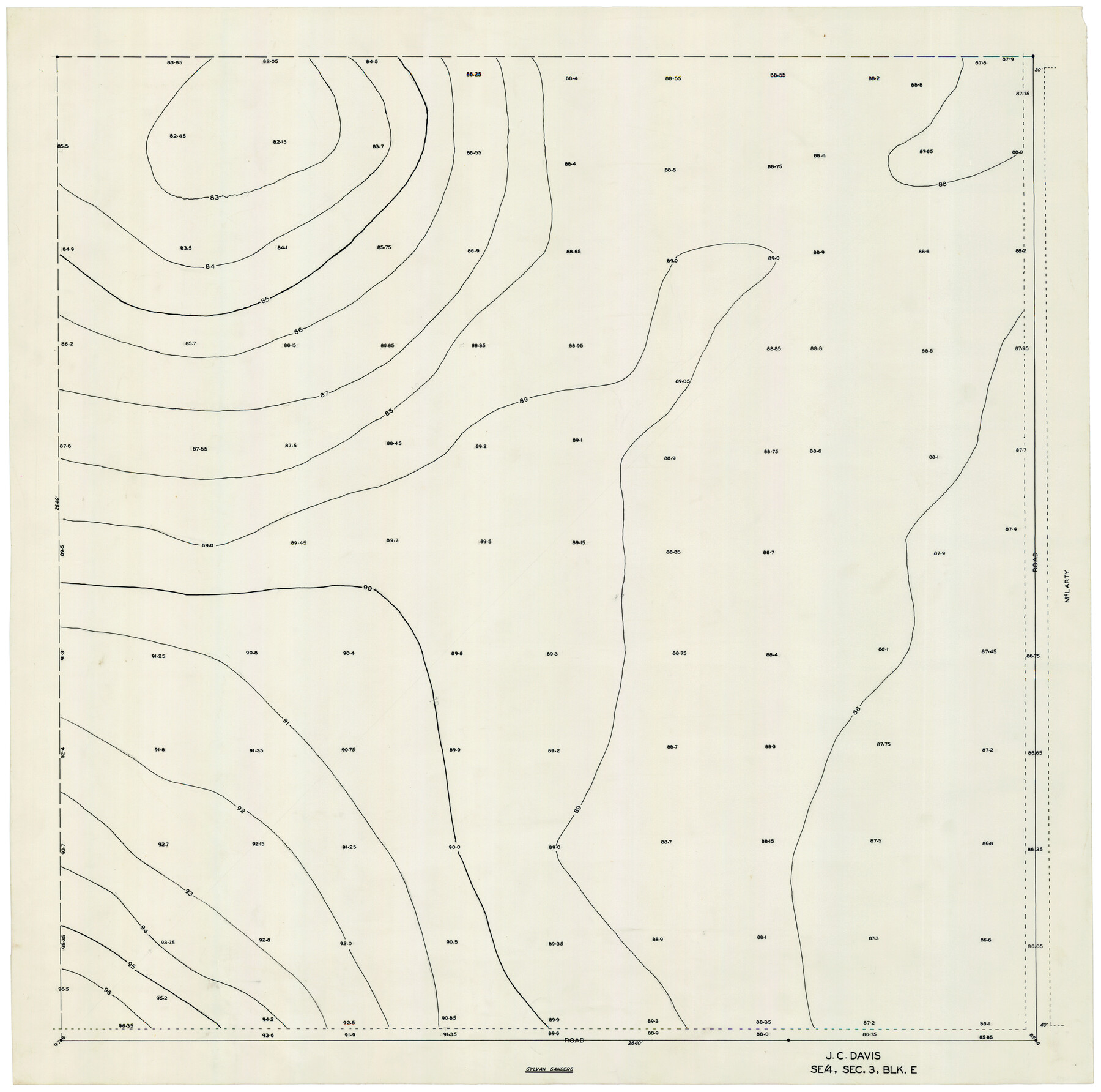
J. C. Davis Southeast Quarter, Section 3, Block E
-
Map/Doc
92740
-
Collection
Twichell Survey Records
-
People and Organizations
Sylvan Sanders (Surveyor/Engineer)
-
Counties
Lubbock
-
Height x Width
30.3 x 29.8 inches
77.0 x 75.7 cm
Part of: Twichell Survey Records
[Sabine County School Land, Block D-10, A3, and B]
![90749, [Sabine County School Land, Block D-10, A3, and B], Twichell Survey Records](https://historictexasmaps.com/wmedia_w700/maps/90749-1.tif.jpg)
Print $20.00
- Digital $50.00
[Sabine County School Land, Block D-10, A3, and B]
Size 15.7 x 20.8 inches
Map/Doc 90749
[Capitol Leagues 217-228, 238, and vicinity]
![90672, [Capitol Leagues 217-228, 238, and vicinity], Twichell Survey Records](https://historictexasmaps.com/wmedia_w700/maps/90672-1.tif.jpg)
Print $20.00
- Digital $50.00
[Capitol Leagues 217-228, 238, and vicinity]
Size 23.0 x 9.9 inches
Map/Doc 90672
[Sketch showing I. G. Yates SF 12341 and surrounding surveys]
![93106, [Sketch showing I. G. Yates SF 12341 and surrounding surveys], Twichell Survey Records](https://historictexasmaps.com/wmedia_w700/maps/93106-1.tif.jpg)
Print $20.00
- Digital $50.00
[Sketch showing I. G. Yates SF 12341 and surrounding surveys]
Size 25.9 x 21.6 inches
Map/Doc 93106
[Part of Wichita County in the vicinity of Elizabeth Stanley survey 812 and W. M. Rivers survey 810]
![91971, [Part of Wichita County in the vicinity of Elizabeth Stanley survey 812 and W. M. Rivers survey 810], Twichell Survey Records](https://historictexasmaps.com/wmedia_w700/maps/91971-1.tif.jpg)
Print $3.00
- Digital $50.00
[Part of Wichita County in the vicinity of Elizabeth Stanley survey 812 and W. M. Rivers survey 810]
1920
Size 11.5 x 11.7 inches
Map/Doc 91971
[Surveys to the North and West of the Francis Blundell survey containing townsite]
![90883, [Surveys to the North and West of the Francis Blundell survey containing townsite], Twichell Survey Records](https://historictexasmaps.com/wmedia_w700/maps/90883-1.tif.jpg)
Print $20.00
- Digital $50.00
[Surveys to the North and West of the Francis Blundell survey containing townsite]
Size 26.2 x 19.9 inches
Map/Doc 90883
J. C. Davis Southeast Quarter, Section 3, Block E

Print $20.00
- Digital $50.00
J. C. Davis Southeast Quarter, Section 3, Block E
Size 30.3 x 29.8 inches
Map/Doc 92740
[E. L. & R. R. Block 10]
![91353, [E. L. & R. R. Block 10], Twichell Survey Records](https://historictexasmaps.com/wmedia_w700/maps/91353-1.tif.jpg)
Print $20.00
- Digital $50.00
[E. L. & R. R. Block 10]
Size 25.3 x 16.5 inches
Map/Doc 91353
McLaughlin Farm, Crosby County, Texas

Print $20.00
- Digital $50.00
McLaughlin Farm, Crosby County, Texas
1952
Size 14.3 x 14.1 inches
Map/Doc 92615
Plat in Pecos County, Texas

Print $20.00
- Digital $50.00
Plat in Pecos County, Texas
Size 33.2 x 23.1 inches
Map/Doc 91601
[Adams Beaty & Moulton Block 2] / Map of Heller's Addition to Canyon City
![92120, [Adams Beaty & Moulton Block 2] / Map of Heller's Addition to Canyon City, Twichell Survey Records](https://historictexasmaps.com/wmedia_w700/maps/92120-1.tif.jpg)
Print $20.00
- Digital $50.00
[Adams Beaty & Moulton Block 2] / Map of Heller's Addition to Canyon City
1898
Size 22.7 x 24.9 inches
Map/Doc 92120

[Leagues 302- 308, 315- 318, Portions of Blocks S and M19, on Oldham-Potter County Line]
![91481, [Leagues 302- 308, 315- 318, Portions of Blocks S and M19, on Oldham-Potter County Line], Twichell Survey Records](https://historictexasmaps.com/wmedia_w700/maps/91481-1.tif.jpg)
Print $20.00
- Digital $50.00
[Leagues 302- 308, 315- 318, Portions of Blocks S and M19, on Oldham-Potter County Line]
Size 22.4 x 15.7 inches
Map/Doc 91481
You may also like
[Block 1, B. S. & F.]
![90492, [Block 1, B. S. & F.], Twichell Survey Records](https://historictexasmaps.com/wmedia_w700/maps/90492-1.tif.jpg)
Print $2.00
- Digital $50.00
[Block 1, B. S. & F.]
1904
Size 8.3 x 10.5 inches
Map/Doc 90492
Galveston County Sketch File 25

Print $2.00
- Digital $50.00
Galveston County Sketch File 25
1845
Size 8.1 x 9.1 inches
Map/Doc 23396
Donley County Working Sketch 4

Print $20.00
- Digital $50.00
Donley County Working Sketch 4
1958
Size 44.0 x 39.8 inches
Map/Doc 68737
Presidio County Sketch File 99

Print $8.00
- Digital $50.00
Presidio County Sketch File 99
1955
Size 11.2 x 8.8 inches
Map/Doc 34787
Coleman County Sketch File 43

Print $12.00
- Digital $50.00
Coleman County Sketch File 43
1892
Size 9.2 x 8.8 inches
Map/Doc 18775
Flight Mission No. DAG-17K, Frame 139, Matagorda County

Print $20.00
- Digital $50.00
Flight Mission No. DAG-17K, Frame 139, Matagorda County
1952
Size 18.5 x 22.3 inches
Map/Doc 86356
Amistad International Reservoir on Rio Grande 86

Print $20.00
- Digital $50.00
Amistad International Reservoir on Rio Grande 86
1949
Size 28.3 x 40.1 inches
Map/Doc 75515
The North Part of America

Print $20.00
- Digital $50.00
The North Part of America
1625
Size 13.1 x 14.8 inches
Map/Doc 93815
Orange County Working Sketch 51

Print $20.00
- Digital $50.00
Orange County Working Sketch 51
1992
Size 29.6 x 22.0 inches
Map/Doc 71383
Red River County Sketch File 28

Print $22.00
- Digital $50.00
Red River County Sketch File 28
1995
Size 11.3 x 8.9 inches
Map/Doc 35165
Blanco County Working Sketch 16

Print $20.00
- Digital $50.00
Blanco County Working Sketch 16
1951
Size 22.2 x 19.5 inches
Map/Doc 67376
North Part Brewster Co.

Print $40.00
- Digital $50.00
North Part Brewster Co.
1914
Size 40.1 x 48.6 inches
Map/Doc 66731