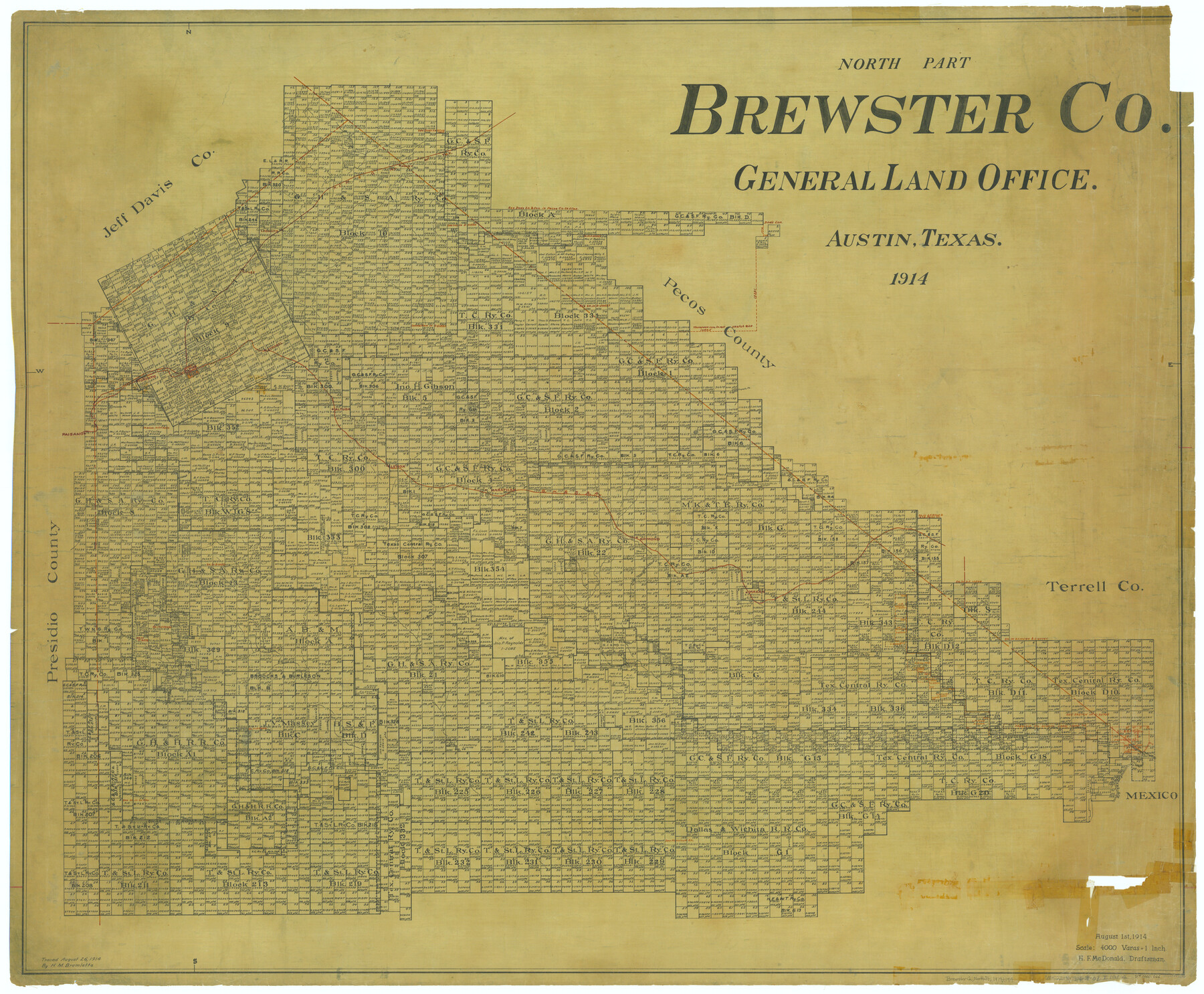
North Part Brewster Co.
-
Map/Doc
66731
-
Collection
General Map Collection
-
Object Dates
1914 (Creation Date)
-
People and Organizations
Texas General Land Office (Publisher)
H.F. McDonald (Compiler)
H.F. McDonald (Draftsman)
-
Counties
Brewster
-
Subjects
County
-
Height x Width
40.1 x 48.6 inches
101.9 x 123.4 cm
-
Comments
Traced August 26, 1914 by H. M. Bramlette.
Part of: General Map Collection
Val Verde County Sketch File XXX1

Print $20.00
- Digital $50.00
Val Verde County Sketch File XXX1
Size 18.8 x 24.0 inches
Map/Doc 12547
Presidio County Working Sketch 138

Print $20.00
- Digital $50.00
Presidio County Working Sketch 138
1990
Size 17.4 x 41.2 inches
Map/Doc 71816
Sketch C Showing the Progress of the Survey in Section III From 1843 to 1852

Print $20.00
- Digital $50.00
Sketch C Showing the Progress of the Survey in Section III From 1843 to 1852
1852
Size 36.2 x 25.6 inches
Map/Doc 97201
Montague County Working Sketch 32

Print $20.00
- Digital $50.00
Montague County Working Sketch 32
1975
Size 26.0 x 26.1 inches
Map/Doc 71098
Flight Mission No. DIX-8P, Frame 83, Aransas County

Print $20.00
- Digital $50.00
Flight Mission No. DIX-8P, Frame 83, Aransas County
1956
Size 18.6 x 22.3 inches
Map/Doc 83908
Pecos County Sketch File 75

Print $6.00
- Digital $50.00
Pecos County Sketch File 75
1943
Size 11.3 x 8.9 inches
Map/Doc 33904
Jeff Davis County Working Sketch 49

Print $20.00
- Digital $50.00
Jeff Davis County Working Sketch 49
2008
Size 38.0 x 35.7 inches
Map/Doc 88816

Sutton County Sketch File J

Print $4.00
- Digital $50.00
Sutton County Sketch File J
Size 14.5 x 8.8 inches
Map/Doc 37505
Travis County Sketch File 50

Print $20.00
- Digital $50.00
Travis County Sketch File 50
1871
Size 18.7 x 23.5 inches
Map/Doc 12469

Brewster County Working Sketch 40

Print $20.00
- Digital $50.00
Brewster County Working Sketch 40
1944
Size 16.1 x 26.1 inches
Map/Doc 67574
You may also like
Newton County Sketch File 46

Print $18.00
- Digital $50.00
Newton County Sketch File 46
1962
Size 11.2 x 8.6 inches
Map/Doc 32451
Kimble County Working Sketch 7

Print $20.00
- Digital $50.00
Kimble County Working Sketch 7
1917
Size 12.6 x 16.8 inches
Map/Doc 70075

Flight Mission No. BRE-1P, Frame 30, Nueces County

Print $20.00
- Digital $50.00
Flight Mission No. BRE-1P, Frame 30, Nueces County
1956
Size 18.4 x 22.3 inches
Map/Doc 86626
[Map showing J. H. Gibson Block D]
![92016, [Map showing J. H. Gibson Block D], Twichell Survey Records](https://historictexasmaps.com/wmedia_w700/maps/92016-1.tif.jpg)
Print $20.00
- Digital $50.00
[Map showing J. H. Gibson Block D]
Size 17.8 x 15.1 inches
Map/Doc 92016
Winkler County Working Sketch 7

Print $20.00
- Digital $50.00
Winkler County Working Sketch 7
1958
Size 45.4 x 30.2 inches
Map/Doc 72601
Ellis County Sketch File 18a

Print $40.00
- Digital $50.00
Ellis County Sketch File 18a
Size 12.8 x 16.0 inches
Map/Doc 21864
Dickens County Working Sketch 5b

Print $40.00
- Digital $50.00
Dickens County Working Sketch 5b
1917
Size 59.4 x 43.3 inches
Map/Doc 68653
Grimes County Rolled Sketch 2

Print $20.00
- Digital $50.00
Grimes County Rolled Sketch 2
Size 29.2 x 24.3 inches
Map/Doc 6043
Garza County Rolled Sketch 6C

Print $20.00
- Digital $50.00
Garza County Rolled Sketch 6C
Size 24.7 x 19.2 inches
Map/Doc 5997
Intracoastal Waterway in Texas - Corpus Christi to Point Isabel including Arroyo Colorado to Mo. Pac. R.R. Bridge Near Harlingen

Print $20.00
- Digital $50.00
Intracoastal Waterway in Texas - Corpus Christi to Point Isabel including Arroyo Colorado to Mo. Pac. R.R. Bridge Near Harlingen
1933
Size 40.9 x 27.8 inches
Map/Doc 61874
Webb County Sketch File 69

Print $6.00
- Digital $50.00
Webb County Sketch File 69
1975
Size 15.1 x 9.9 inches
Map/Doc 39873