[Travis District]
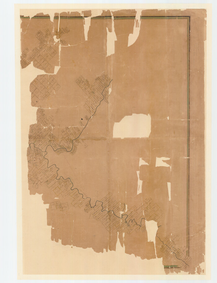
Print $40.00
- Digital $50.00
[Travis District]
1840
Size: 54.7 x 42.0 inches
88739
[Travis District]
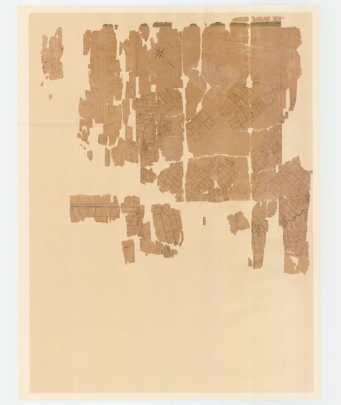
Print $40.00
- Digital $50.00
[Travis District]
1840
Size: 54.7 x 46.0 inches
88740
[South Half - Brown County, Texas]
Print $40.00
- Digital $50.00
[South Half - Brown County, Texas]
1919
Size: 41.7 x 68.4 inches
97383
[Map of a portion of Bexar and Travis Districts]
Print $20.00
- Digital $50.00
[Map of a portion of Bexar and Travis Districts]
Size: 47.5 x 47.2 inches
16943
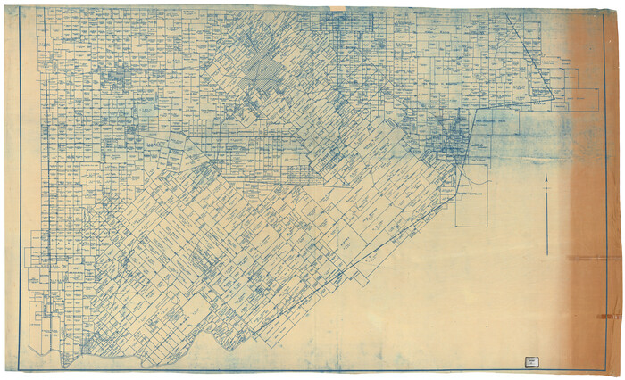
West Half - Brown County

Print $40.00
- Digital $50.00
West Half - Brown County
1982
Size: 142.2 x 37.3 inches
97384
Water-Shed of the Colorado River

Print $40.00
- Digital $50.00
Water-Shed of the Colorado River
1925
Size: 37.1 x 79.8 inches
65261
Pecan Bayou Travis District

Print $20.00
- Digital $50.00
Pecan Bayou Travis District
1852
Size: 25.8 x 20.5 inches
4518
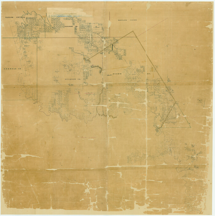
North Half - Brown County, Texas

Print $40.00
- Digital $50.00
North Half - Brown County, Texas
1919
Size: 42.2 x 64.8 inches
97382
Mills County Sketch File A

Print $4.00
- Digital $50.00
Mills County Sketch File A
1890
Size: 8.9 x 11.0 inches
31646
Mills County Sketch File 9

Print $20.00
- Digital $50.00
Mills County Sketch File 9
Size: 36.0 x 29.5 inches
10544
Mills County Sketch File 1A

Print $20.00
- Digital $50.00
Mills County Sketch File 1A
1852
Size: 33.6 x 20.1 inches
12092
Mills County Sketch File 1

Print $8.00
- Digital $50.00
Mills County Sketch File 1
1853
Size: 11.6 x 12.7 inches
31641
Map of Portions of Eastland, Brown and Comanche Counties

Print $20.00
Map of Portions of Eastland, Brown and Comanche Counties
Size: 21.7 x 16.7 inches
88926
Map of Brown County

Print $20.00
- Digital $50.00
Map of Brown County
1858
Size: 25.7 x 25.3 inches
3336
Map of Brown County

Print $20.00
- Digital $50.00
Map of Brown County
1876
Size: 25.9 x 23.3 inches
3341
Map of Brown County

Print $40.00
- Digital $50.00
Map of Brown County
1886
Size: 48.9 x 41.6 inches
3342
Map of Brown County

Print $20.00
- Digital $50.00
Map of Brown County
1899
Size: 47.2 x 34.0 inches
4754
Hamilton County Sketch File 10

Print $24.00
- Digital $50.00
Hamilton County Sketch File 10
1874
Size: 12.8 x 8.5 inches
24919
General Highway Map. Detail of Cities and Towns in Brown County, Texas [Brownwood and vicinity]
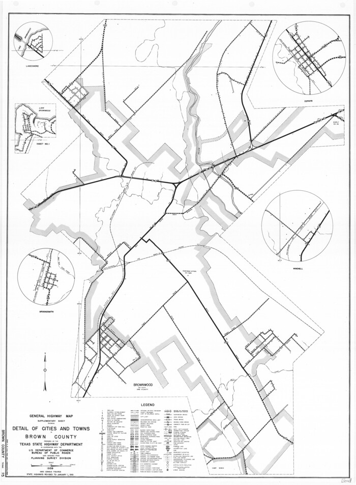
Print $20.00
General Highway Map. Detail of Cities and Towns in Brown County, Texas [Brownwood and vicinity]
1961
Size: 24.8 x 18.2 inches
79390
General Highway Map, Brown County, Texas

Print $20.00
General Highway Map, Brown County, Texas
1940
Size: 25.0 x 18.4 inches
79031
General Highway Map, Brown County, Texas

Print $20.00
General Highway Map, Brown County, Texas
1961
Size: 24.8 x 18.2 inches
79389
Eastland County Working Sketch 24

Print $20.00
- Digital $50.00
Eastland County Working Sketch 24
1922
Size: 36.1 x 27.1 inches
68805
Eastland County Sketch File A

Print $20.00
- Digital $50.00
Eastland County Sketch File A
1887
Size: 18.1 x 16.8 inches
11413
Eastland County Sketch File 9

Print $4.00
- Digital $50.00
Eastland County Sketch File 9
Size: 10.5 x 8.2 inches
21580
Eastland County Sketch File 6

Print $4.00
- Digital $50.00
Eastland County Sketch File 6
1871
Size: 8.3 x 12.8 inches
21572
Eastland County Sketch File 11

Print $8.00
- Digital $50.00
Eastland County Sketch File 11
Size: 6.7 x 7.0 inches
21585
Eastland County Sketch File 1

Print $8.00
- Digital $50.00
Eastland County Sketch File 1
Size: 9.0 x 7.9 inches
21555
[Travis District]
Print $40.00
- Digital $50.00
[Travis District]
1840
-
Size
54.7 x 42.0 inches
-
Map/Doc
88739
-
Creation Date
1840
[Travis District]
Print $40.00
- Digital $50.00
[Travis District]
1840
-
Size
54.7 x 46.0 inches
-
Map/Doc
88740
-
Creation Date
1840
[South Half - Brown County, Texas]
Print $40.00
- Digital $50.00
[South Half - Brown County, Texas]
1919
-
Size
41.7 x 68.4 inches
-
Map/Doc
97383
-
Creation Date
1919
[Map of a portion of Bexar and Travis Districts]
Print $20.00
- Digital $50.00
[Map of a portion of Bexar and Travis Districts]
-
Size
47.5 x 47.2 inches
-
Map/Doc
16943
[Brown County]
![3337, [Brown County], General Map Collection](https://historictexasmaps.com/wmedia_w700/maps/3337-1.tif.jpg)
Print $20.00
- Digital $50.00
[Brown County]
1863
-
Size
25.4 x 22.5 inches
-
Map/Doc
3337
-
Creation Date
1863
West Half - Brown County
Print $40.00
- Digital $50.00
West Half - Brown County
1982
-
Size
142.2 x 37.3 inches
-
Map/Doc
97384
-
Creation Date
1982
Water-Shed of the Colorado River
Print $40.00
- Digital $50.00
Water-Shed of the Colorado River
1925
-
Size
37.1 x 79.8 inches
-
Map/Doc
65261
-
Creation Date
1925
Pecan Bayou Travis District
Print $20.00
- Digital $50.00
Pecan Bayou Travis District
1852
-
Size
25.8 x 20.5 inches
-
Map/Doc
4518
-
Creation Date
1852
North Half - Brown County, Texas
Print $40.00
- Digital $50.00
North Half - Brown County, Texas
1919
-
Size
42.2 x 64.8 inches
-
Map/Doc
97382
-
Creation Date
1919
Mills County Sketch File A
Print $4.00
- Digital $50.00
Mills County Sketch File A
1890
-
Size
8.9 x 11.0 inches
-
Map/Doc
31646
-
Creation Date
1890
Mills County Sketch File 9
Print $20.00
- Digital $50.00
Mills County Sketch File 9
-
Size
36.0 x 29.5 inches
-
Map/Doc
10544
Mills County Sketch File 1A
Print $20.00
- Digital $50.00
Mills County Sketch File 1A
1852
-
Size
33.6 x 20.1 inches
-
Map/Doc
12092
-
Creation Date
1852
Mills County Sketch File 1
Print $8.00
- Digital $50.00
Mills County Sketch File 1
1853
-
Size
11.6 x 12.7 inches
-
Map/Doc
31641
-
Creation Date
1853
Map of Portions of Eastland, Brown and Comanche Counties
Print $20.00
Map of Portions of Eastland, Brown and Comanche Counties
-
Size
21.7 x 16.7 inches
-
Map/Doc
88926
Map of Brown County
Print $20.00
- Digital $50.00
Map of Brown County
1858
-
Size
25.7 x 25.3 inches
-
Map/Doc
3336
-
Creation Date
1858
Map of Brown County

Print $20.00
- Digital $50.00
Map of Brown County
-
Size
25.4 x 23.5 inches
-
Map/Doc
3340
Map of Brown County
Print $20.00
- Digital $50.00
Map of Brown County
1876
-
Size
25.9 x 23.3 inches
-
Map/Doc
3341
-
Creation Date
1876
Map of Brown County
Print $40.00
- Digital $50.00
Map of Brown County
1886
-
Size
48.9 x 41.6 inches
-
Map/Doc
3342
-
Creation Date
1886
Map of Brown County
Print $20.00
- Digital $50.00
Map of Brown County
1899
-
Size
47.2 x 34.0 inches
-
Map/Doc
4754
-
Creation Date
1899
Map of Brown Co[unty]
![88913, Map of Brown Co[unty], Library of Congress](https://historictexasmaps.com/wmedia_w700/maps/88913.tif.jpg)
Print $20.00
Map of Brown Co[unty]
1876
-
Size
27.5 x 21.9 inches
-
Map/Doc
88913
-
Creation Date
1876
Hamilton County Sketch File 10
Print $24.00
- Digital $50.00
Hamilton County Sketch File 10
1874
-
Size
12.8 x 8.5 inches
-
Map/Doc
24919
-
Creation Date
1874
General Highway Map. Detail of Cities and Towns in Brown County, Texas [Brownwood and vicinity]
Print $20.00
General Highway Map. Detail of Cities and Towns in Brown County, Texas [Brownwood and vicinity]
1961
-
Size
24.8 x 18.2 inches
-
Map/Doc
79390
-
Creation Date
1961
General Highway Map, Brown County, Texas
Print $20.00
General Highway Map, Brown County, Texas
1940
-
Size
25.0 x 18.4 inches
-
Map/Doc
79031
-
Creation Date
1940
General Highway Map, Brown County, Texas
Print $20.00
General Highway Map, Brown County, Texas
1961
-
Size
24.8 x 18.2 inches
-
Map/Doc
79389
-
Creation Date
1961
Eastland County Working Sketch 24
Print $20.00
- Digital $50.00
Eastland County Working Sketch 24
1922
-
Size
36.1 x 27.1 inches
-
Map/Doc
68805
-
Creation Date
1922
Eastland County Sketch File A
Print $20.00
- Digital $50.00
Eastland County Sketch File A
1887
-
Size
18.1 x 16.8 inches
-
Map/Doc
11413
-
Creation Date
1887
Eastland County Sketch File 9
Print $4.00
- Digital $50.00
Eastland County Sketch File 9
-
Size
10.5 x 8.2 inches
-
Map/Doc
21580
Eastland County Sketch File 6
Print $4.00
- Digital $50.00
Eastland County Sketch File 6
1871
-
Size
8.3 x 12.8 inches
-
Map/Doc
21572
-
Creation Date
1871
Eastland County Sketch File 11
Print $8.00
- Digital $50.00
Eastland County Sketch File 11
-
Size
6.7 x 7.0 inches
-
Map/Doc
21585
Eastland County Sketch File 1
Print $8.00
- Digital $50.00
Eastland County Sketch File 1
-
Size
9.0 x 7.9 inches
-
Map/Doc
21555