Map of Brown Co[unty]
-
Map/Doc
88913
-
Collection
Library of Congress
-
Object Dates
1876 (Creation Date)
-
People and Organizations
Texas Land and Immigration Company (Publisher)
A.R. Roessler (Compiler)
American Photo-Lithographic Company (Printer)
-
Counties
Brown
-
Subjects
County
-
Height x Width
27.5 x 21.9 inches
69.9 x 55.6 cm
-
Comments
Prints available from the GLO courtesy of Library of Congress, Geography and Map Division.
Part of: Library of Congress
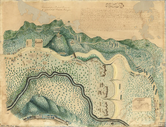
Croquis del terro, camino, bosques, barrancas, cerro y beredas de Cerro-gordo con las posiciones de las topas Mejicanas y Americanas con sus respectivos Generales Cuerpos y Baterias el dis 18 de Abril de 1847

Print $20.00
Croquis del terro, camino, bosques, barrancas, cerro y beredas de Cerro-gordo con las posiciones de las topas Mejicanas y Americanas con sus respectivos Generales Cuerpos y Baterias el dis 18 de Abril de 1847
1847
Size 20.1 x 26.0 inches
Map/Doc 97343
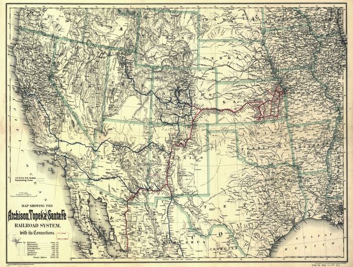
Map showing the Atchison, Topeka and Santa Fe Railroad system, with its connections.

Print $20.00
Map showing the Atchison, Topeka and Santa Fe Railroad system, with its connections.
1883
Size 22.0 x 29.1 inches
Map/Doc 93583
Map of Texas Showing Routes of Transportation of Cattle


Print $20.00
Map of Texas Showing Routes of Transportation of Cattle
1881
Size 11.0 x 10.9 inches
Map/Doc 95718
Map of Texas, showing the line of the Texas and New Orleans Rail Road, and its connections in the U.S. and adjacent territories.


Print $20.00
Map of Texas, showing the line of the Texas and New Orleans Rail Road, and its connections in the U.S. and adjacent territories.
1860
Size 22.0 x 31.1 inches
Map/Doc 93612
Clarendon, Texas, Donley Co.
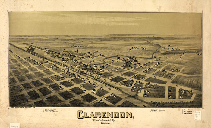

Print $20.00
Clarendon, Texas, Donley Co.
1890
Size 17.4 x 28.6 inches
Map/Doc 93468
Map of the Military Department of the Gulf
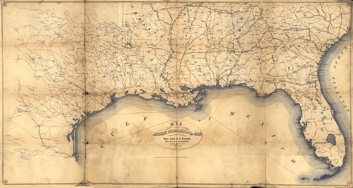

Print $20.00
Map of the Military Department of the Gulf
1864
Size 24.4 x 45.7 inches
Map/Doc 93568
G. Woolworth Colton's new guide map of the United States & Canada, with railroads, counties, etc.
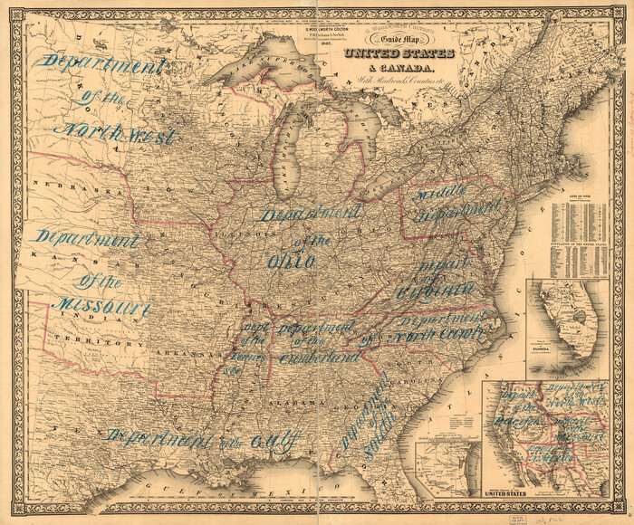

Print $20.00
G. Woolworth Colton's new guide map of the United States & Canada, with railroads, counties, etc.
1862
Size 30.3 x 36.6 inches
Map/Doc 93614
Map of the Rio Grande and Pecos Railway showing its connections with…
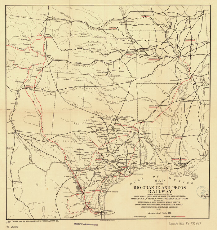

Print $20.00
Map of the Rio Grande and Pecos Railway showing its connections with…
1882
Size 42.1 x 40.2 inches
Map/Doc 93620
Map of Caldwell County, Texas


Print $20.00
Map of Caldwell County, Texas
1880
Size 18.7 x 22.0 inches
Map/Doc 88915
You may also like
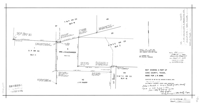
Coke County Rolled Sketch 20

Print $20.00
- Digital $50.00
Coke County Rolled Sketch 20
1954
Size 16.0 x 30.5 inches
Map/Doc 5521
Grimes County Working Sketch 6


Print $20.00
- Digital $50.00
Grimes County Working Sketch 6
1951
Size 33.2 x 33.4 inches
Map/Doc 63297
Palo Pinto County Sketch File 25a


Print $6.00
- Digital $50.00
Palo Pinto County Sketch File 25a
Size 11.0 x 11.4 inches
Map/Doc 33417
Burleson County Working Sketch 1


Print $20.00
- Digital $50.00
Burleson County Working Sketch 1
1928
Size 23.4 x 17.4 inches
Map/Doc 67720
Montague County Sketch File 5


Print $20.00
- Digital $50.00
Montague County Sketch File 5
1855
Size 13.1 x 20.1 inches
Map/Doc 12105
Translations of Titles in Vol. 15, Spanish Archives


Translations of Titles in Vol. 15, Spanish Archives
1872
Map/Doc 94550
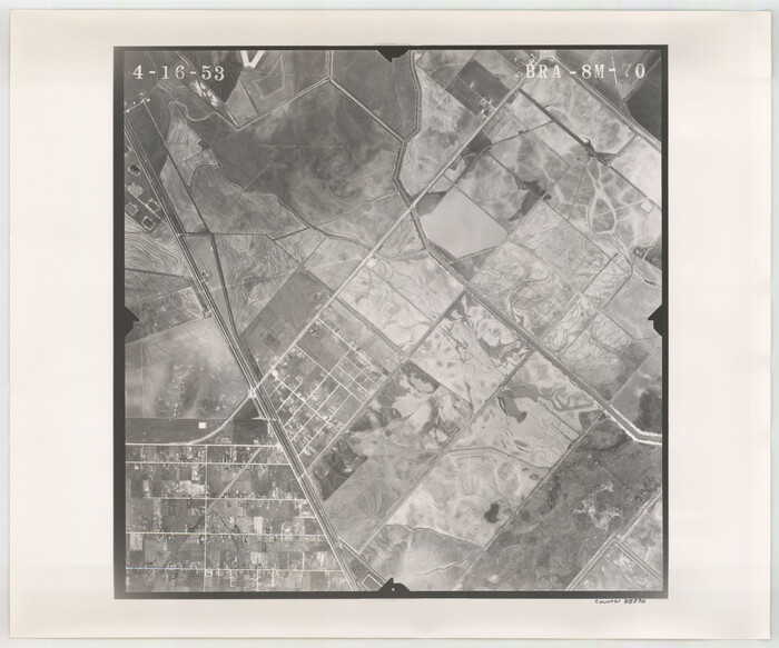
Flight Mission No. BRA-8M, Frame 70, Jefferson County

Print $20.00
- Digital $50.00
Flight Mission No. BRA-8M, Frame 70, Jefferson County
1953
Size 18.6 x 22.3 inches
Map/Doc 85590
Briscoe County Sketch File 13


Print $168.00
- Digital $50.00
Briscoe County Sketch File 13
1982
Size 11.2 x 8.7 inches
Map/Doc 16428
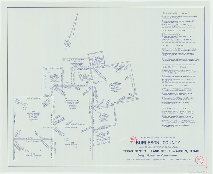
Burleson County Working Sketch 39

Print $20.00
- Digital $50.00
Burleson County Working Sketch 39
1985
Size 15.3 x 18.7 inches
Map/Doc 67758
Reagan County Sketch File 19


Print $26.00
- Digital $50.00
Reagan County Sketch File 19
1937
Size 14.0 x 28.7 inches
Map/Doc 12220
Map of the Missouri Pacific Central Branch U.P.R.R. St. Louis, Iron Mountain & Southern International & Great Northern and Texas and Pacific Railways


Print $20.00
- Digital $50.00
Map of the Missouri Pacific Central Branch U.P.R.R. St. Louis, Iron Mountain & Southern International & Great Northern and Texas and Pacific Railways
1890
Size 28.7 x 24.4 inches
Map/Doc 97505
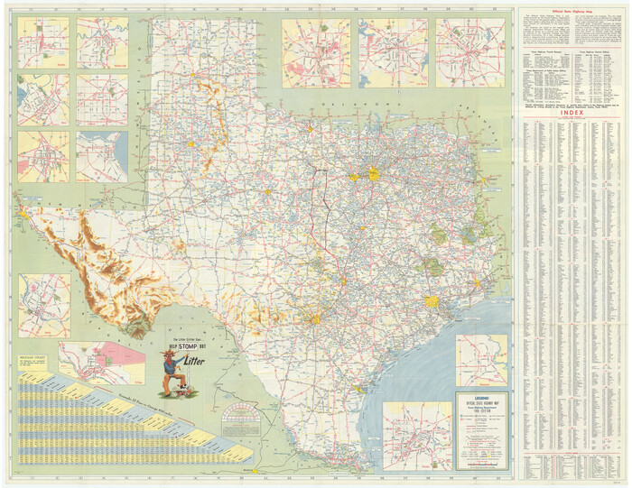
America's Fun-Tier: Texas 1966 Official State Highway Map

Digital $50.00
America's Fun-Tier: Texas 1966 Official State Highway Map
Size 28.2 x 36.5 inches
Map/Doc 94324
![88913, Map of Brown Co[unty], Library of Congress](https://historictexasmaps.com/wmedia_w1800h1800/maps/88913.tif.jpg)
