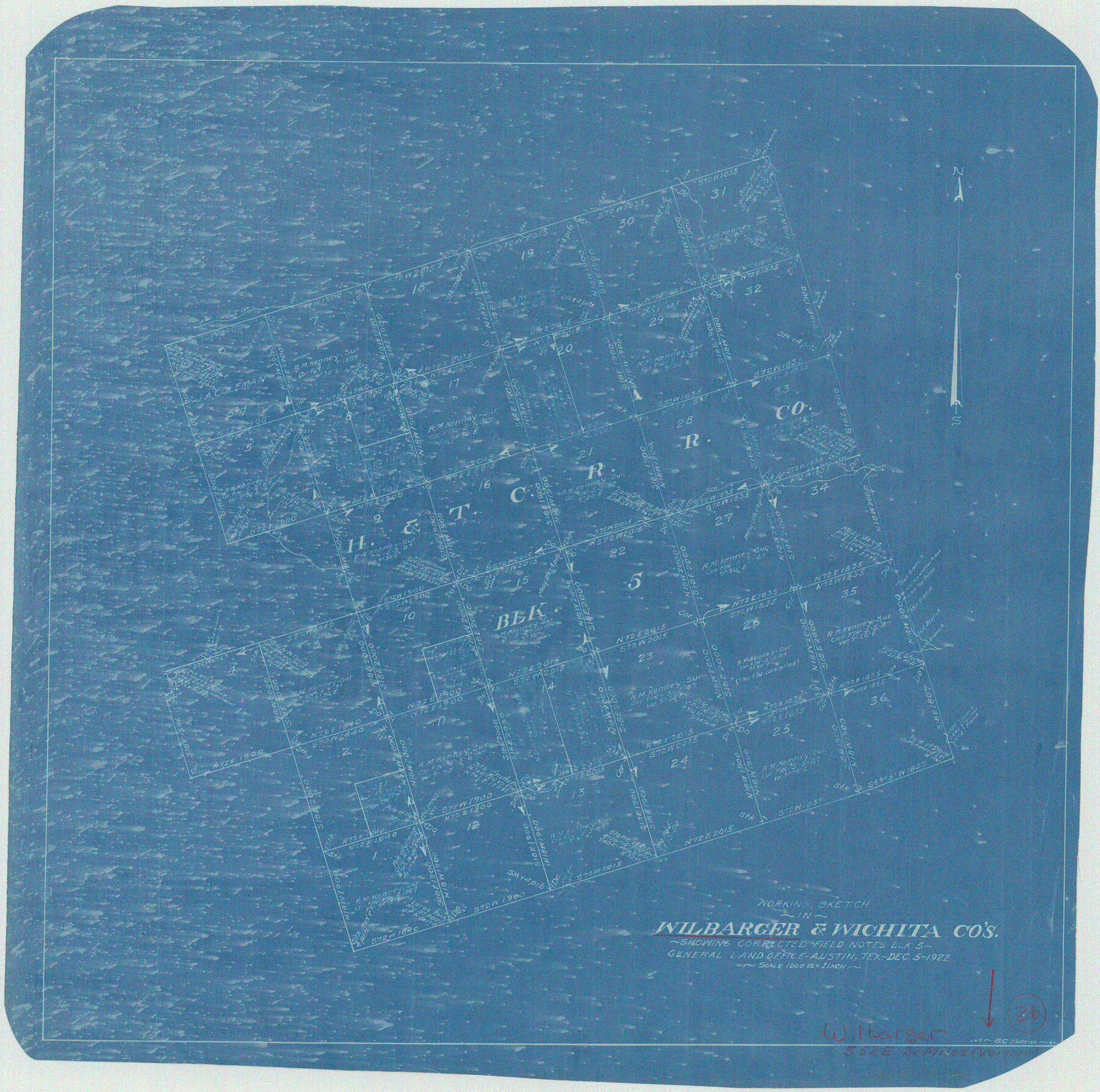
Wilbarger County Working Sketch 2b
-
Map/Doc
72540
-
Collection
General Map Collection
-
Object Dates
12/5/1922 (Creation Date)
-
People and Organizations
G.C. Morriss (Draftsman)
-
Counties
Wilbarger Wichita
-
Subjects
Surveying Working Sketch
-
Height x Width
19.8 x 20.0 inches
50.3 x 50.8 cm
-
Scale
1" = 1000 varas
Part of: General Map Collection
Atascosa County Boundary File 6

Print $34.00
- Digital $50.00
Atascosa County Boundary File 6
Size 9.1 x 23.0 inches
Map/Doc 50205
Bell County Sketch File 19a

Print $4.00
- Digital $50.00
Bell County Sketch File 19a
Size 8.1 x 8.7 inches
Map/Doc 14404
Crockett County Working Sketch 37

Print $20.00
- Digital $50.00
Crockett County Working Sketch 37
1927
Size 30.5 x 24.4 inches
Map/Doc 68370
Jeff Davis County Texas

Print $20.00
- Digital $50.00
Jeff Davis County Texas
Size 15.9 x 21.3 inches
Map/Doc 4573
Ile de la Réunion, Colonie Française (Océan indien)

Print $20.00
- Digital $50.00
Ile de la Réunion, Colonie Française (Océan indien)
Size 14.5 x 20.5 inches
Map/Doc 94451
Map of Coleman County

Print $20.00
- Digital $50.00
Map of Coleman County
Size 26.8 x 19.8 inches
Map/Doc 3408
Right of Way & Track Map San Antonio & Aransas Pass Railway Co.

Print $40.00
- Digital $50.00
Right of Way & Track Map San Antonio & Aransas Pass Railway Co.
1919
Size 25.6 x 57.0 inches
Map/Doc 64025
Travis District No. 4 Head of Walnut Creek

Print $2.00
- Digital $50.00
Travis District No. 4 Head of Walnut Creek
1846
Size 4.0 x 8.2 inches
Map/Doc 78382
Map of Bryan, Brazos County, Texas

Print $20.00
- Digital $50.00
Map of Bryan, Brazos County, Texas
1915
Size 18.5 x 24.6 inches
Map/Doc 3210
East Half - Brown County

Print $40.00
- Digital $50.00
East Half - Brown County
1982
Size 141.3 x 36.8 inches
Map/Doc 97385
McLennan County Boundary File 3

Print $8.00
- Digital $50.00
McLennan County Boundary File 3
Size 11.2 x 8.7 inches
Map/Doc 56963
Hartley County Rolled Sketch 8

Print $20.00
- Digital $50.00
Hartley County Rolled Sketch 8
1974
Size 20.0 x 23.7 inches
Map/Doc 6162
You may also like
Hansford County Working Sketch 3

Print $20.00
- Digital $50.00
Hansford County Working Sketch 3
1940
Size 20.5 x 16.5 inches
Map/Doc 63375
City of Andrews

Print $20.00
- Digital $50.00
City of Andrews
1951
Size 25.1 x 24.2 inches
Map/Doc 92454
Soil Map, Texas, Titus County Sheet

Print $20.00
- Digital $50.00
Soil Map, Texas, Titus County Sheet
1909
Size 30.5 x 22.4 inches
Map/Doc 3080
Upton County Rolled Sketch 10

Print $20.00
- Digital $50.00
Upton County Rolled Sketch 10
1911
Size 41.2 x 43.0 inches
Map/Doc 10035
Laneer vs. Bivins, Potter County, Texas

Print $20.00
- Digital $50.00
Laneer vs. Bivins, Potter County, Texas
Size 21.1 x 18.8 inches
Map/Doc 93062
[Surveys between the Little River and Darr's Creek]
![69757, [Surveys between the Little River and Darr's Creek], General Map Collection](https://historictexasmaps.com/wmedia_w700/maps/69757.tif.jpg)
Print $2.00
- Digital $50.00
[Surveys between the Little River and Darr's Creek]
1846
Size 7.6 x 7.9 inches
Map/Doc 69757
Flight Mission No. CGI-3N, Frame 144, Cameron County

Print $20.00
- Digital $50.00
Flight Mission No. CGI-3N, Frame 144, Cameron County
1954
Size 18.8 x 22.4 inches
Map/Doc 84617
General Highway Map, Frio County, Texas

Print $20.00
General Highway Map, Frio County, Texas
1940
Size 18.4 x 24.9 inches
Map/Doc 79095
Harris County Working Sketch 68

Print $20.00
- Digital $50.00
Harris County Working Sketch 68
1955
Size 29.3 x 24.3 inches
Map/Doc 65960
The Republic County of Harris. Spring 1842

Print $20.00
The Republic County of Harris. Spring 1842
2020
Size 17.7 x 21.7 inches
Map/Doc 96167
[Capitol Leagues along Bailey-Lamb County Line]
![89630, [Capitol Leagues along Bailey-Lamb County Line], Twichell Survey Records](https://historictexasmaps.com/wmedia_w700/maps/89630-1.tif.jpg)
Print $40.00
- Digital $50.00
[Capitol Leagues along Bailey-Lamb County Line]
Size 12.6 x 49.5 inches
Map/Doc 89630
Childress County Sketch File 1

Print $16.00
- Digital $50.00
Childress County Sketch File 1
1877
Size 12.8 x 8.3 inches
Map/Doc 18235