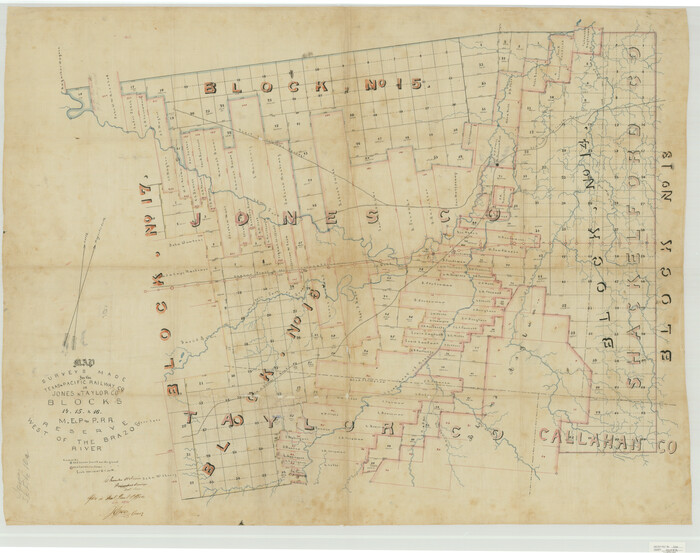
Jones County Sketch File 10a
1875

Jones County Sketch File 11a
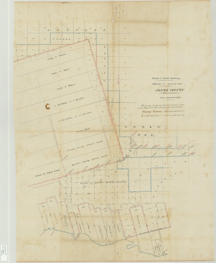
Jones County Sketch File 13
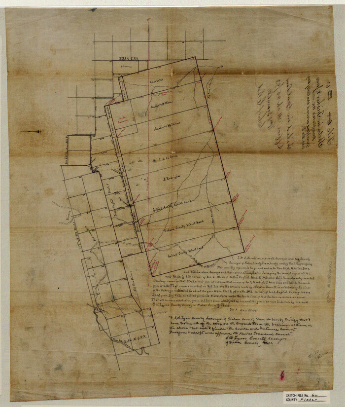
Fisher County Sketch File 6a
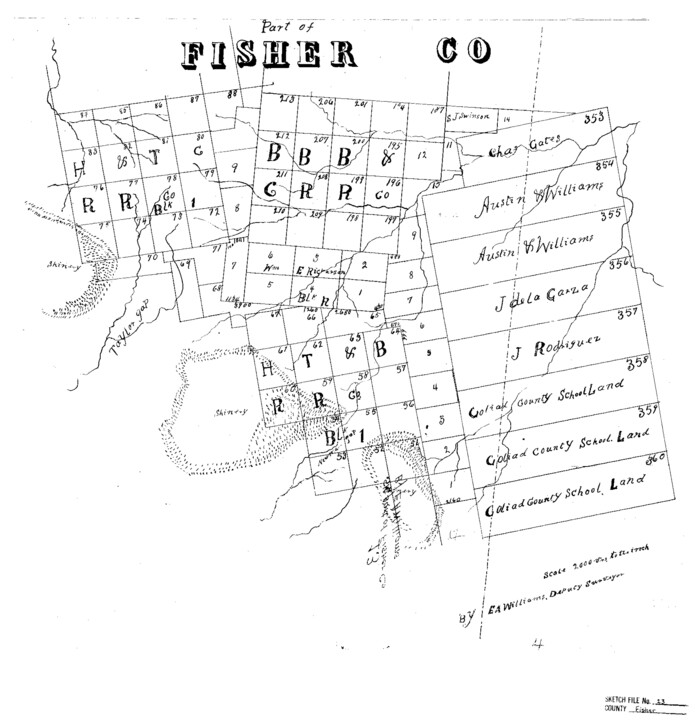
Fisher County Sketch File 13

Haskell County Sketch File 4

Haskell County Sketch File 12
1881
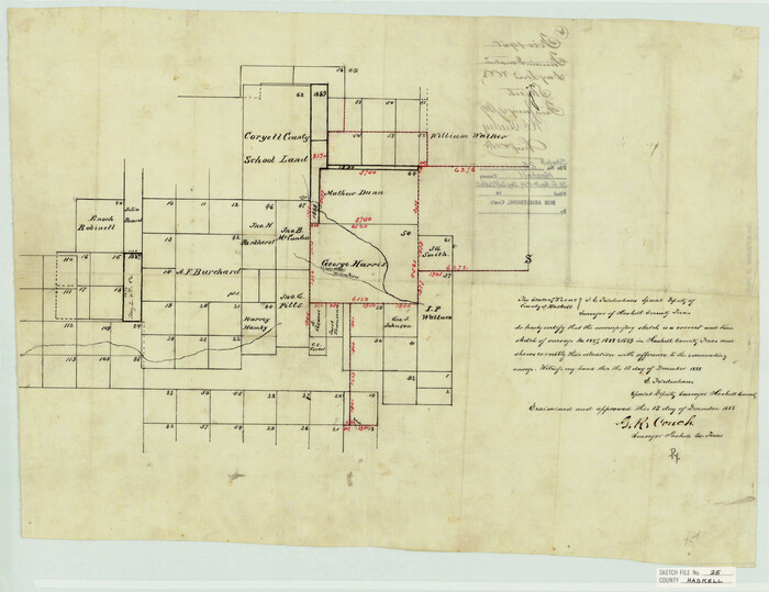
Haskell County Sketch File 25
1888

Jones County Sketch File 1
1857

Jones County Sketch File 2
1857
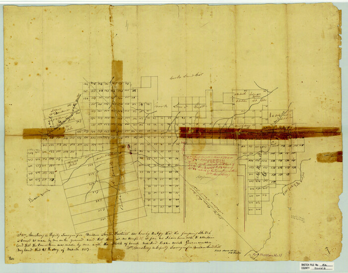
Jones County Sketch File 5a
1857

Jones County Sketch File 7
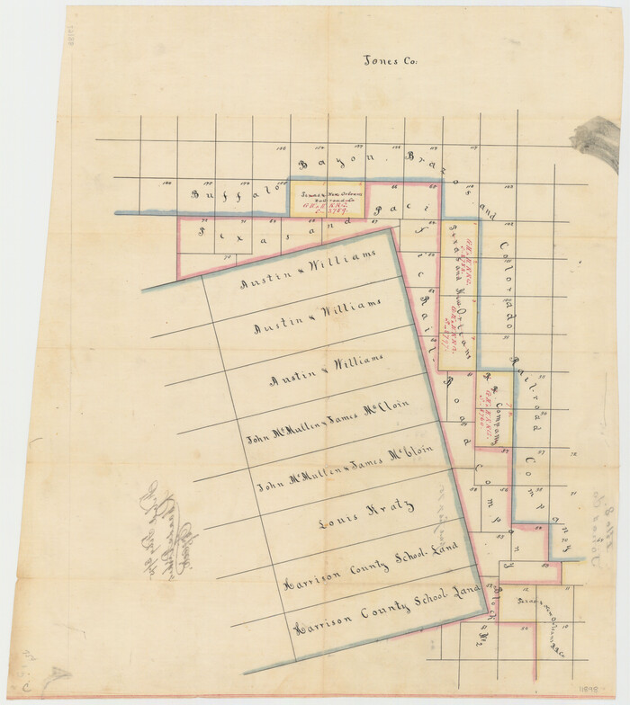
Jones County Sketch File 8
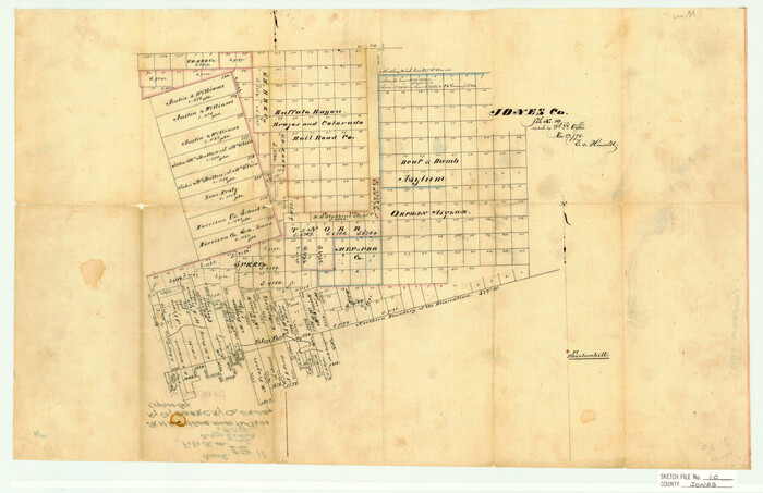
Jones County Sketch File 10
1875
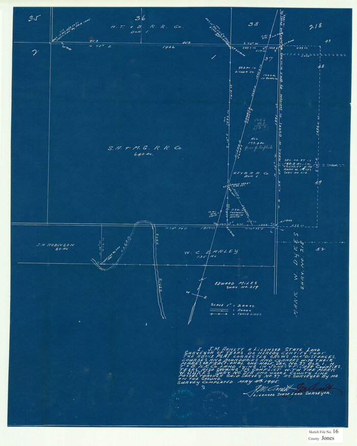
Jones County Sketch File 16
1945
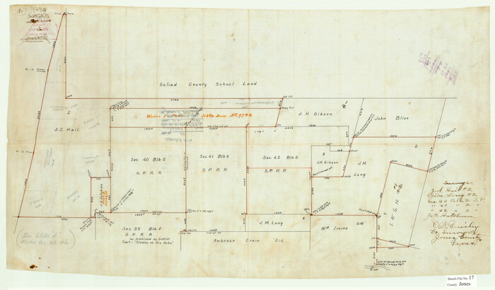
Jones County Sketch File 17
1910

Shackelford County Sketch File 11
1914

Map of Jones County
1898

A Map of that part of Young District south of old Fannin District line
1861

Dawson County Sketch File 16

S. M. S. Flat Top Ranch
1955

Fisher County Sketch File 7
1893

Map of Asylum Lands
1857
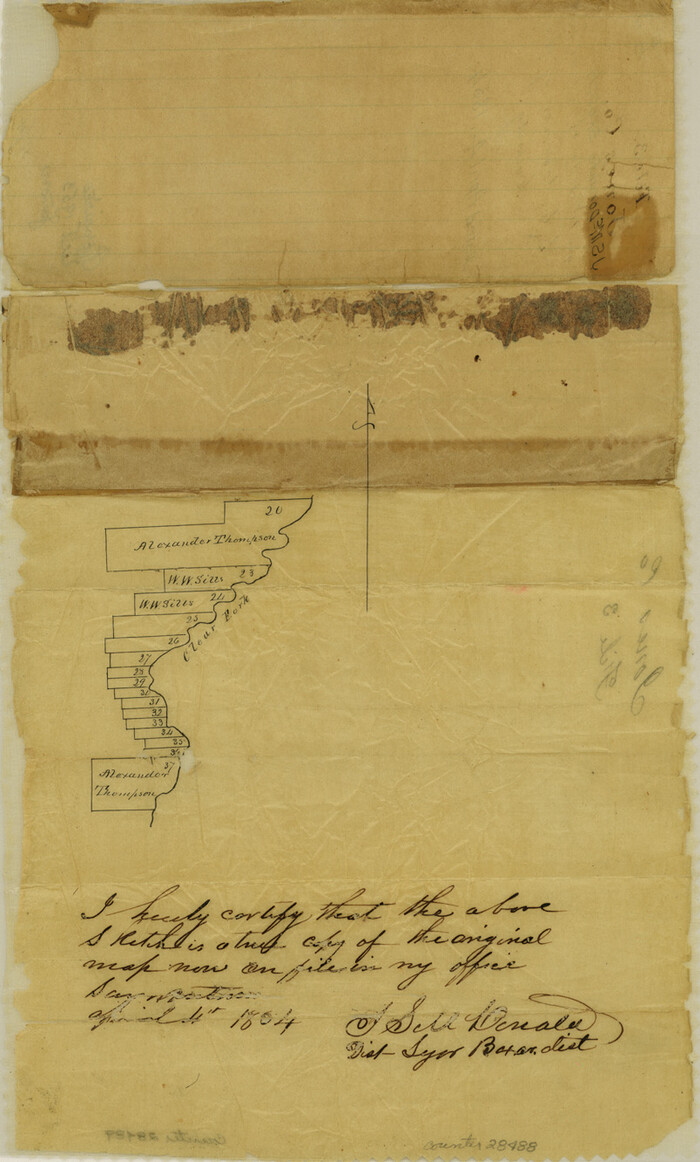
Jones County Sketch File 3
1854
Jones County Sketch File 4
1859

Jones County Sketch File 5
1859

Jones County Sketch File 6
1873
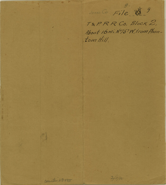
Jones County Sketch File 9
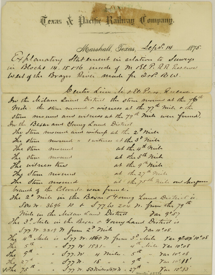
Jones County Sketch File 11
1875

Jones County Sketch File 10a
1875
-
Size
40.0 x 50.6 inches
-
Map/Doc
10509
-
Creation Date
1875

Jones County Sketch File 11a
-
Size
37.5 x 49.5 inches
-
Map/Doc
10510

Jones County Sketch File 13
-
Size
43.5 x 35.7 inches
-
Map/Doc
10511

Fisher County Sketch File 6a
-
Size
21.3 x 18.1 inches
-
Map/Doc
11476

Fisher County Sketch File 13
-
Size
18.3 x 17.7 inches
-
Map/Doc
11480

Haskell County Sketch File 4
-
Size
17.7 x 18.6 inches
-
Map/Doc
11739

Haskell County Sketch File 12
1881
-
Size
18.8 x 23.6 inches
-
Map/Doc
11741
-
Creation Date
1881

Haskell County Sketch File 25
1888
-
Size
16.8 x 21.8 inches
-
Map/Doc
11748
-
Creation Date
1888

Jones County Sketch File 1
1857
-
Size
17.8 x 30.3 inches
-
Map/Doc
11894
-
Creation Date
1857

Jones County Sketch File 2
1857
-
Size
16.8 x 21.1 inches
-
Map/Doc
11895
-
Creation Date
1857

Jones County Sketch File 5a
1857
-
Size
18.4 x 23.5 inches
-
Map/Doc
11896
-
Creation Date
1857

Jones County Sketch File 7
-
Size
12.5 x 27.5 inches
-
Map/Doc
11897

Jones County Sketch File 8
-
Size
18.5 x 22.8 inches
-
Map/Doc
11898

Jones County Sketch File 10
1875
-
Size
14.3 x 22.2 inches
-
Map/Doc
11900
-
Creation Date
1875

Jones County Sketch File 16
1945
-
Size
23.7 x 19.0 inches
-
Map/Doc
11901
-
Creation Date
1945

Jones County Sketch File 17
1910
-
Size
17.2 x 29.4 inches
-
Map/Doc
11902
-
Creation Date
1910

Shackelford County Sketch File 11
1914
-
Size
16.8 x 17.0 inches
-
Map/Doc
12317
-
Creation Date
1914

Map of Jones County
1898
-
Size
41.2 x 40.0 inches
-
Map/Doc
16862
-
Creation Date
1898

Jones County
1921
-
Size
38.9 x 37.9 inches
-
Map/Doc
1869
-
Creation Date
1921

A Map of that part of Young District south of old Fannin District line
1861
-
Size
24.9 x 38.0 inches
-
Map/Doc
1979
-
Creation Date
1861

Dawson County Sketch File 16
-
Size
13.4 x 8.8 inches
-
Map/Doc
20551

S. M. S. Flat Top Ranch
1955
-
Size
23.2 x 32.8 inches
-
Map/Doc
2102
-
Creation Date
1955

Fisher County Sketch File 7
1893
-
Size
14.6 x 9.1 inches
-
Map/Doc
22565
-
Creation Date
1893

Map of Asylum Lands
1857
-
Size
28.4 x 18.5 inches
-
Map/Doc
2459
-
Creation Date
1857

Jones County Sketch File 3
1854
-
Size
13.3 x 8.0 inches
-
Map/Doc
28488
-
Creation Date
1854

Jones County Sketch File 4
1859
-
Size
7.5 x 12.7 inches
-
Map/Doc
28490
-
Creation Date
1859

Jones County Sketch File 5
1859
-
Size
10.0 x 8.1 inches
-
Map/Doc
28492
-
Creation Date
1859

Jones County Sketch File 6
1873
-
Size
8.3 x 11.8 inches
-
Map/Doc
28494
-
Creation Date
1873

Jones County Sketch File 9
-
Size
8.3 x 7.5 inches
-
Map/Doc
28495

Jones County Sketch File 11
1875
-
Size
11.1 x 8.7 inches
-
Map/Doc
28496
-
Creation Date
1875