
Jones County Rolled Sketch 4
2022
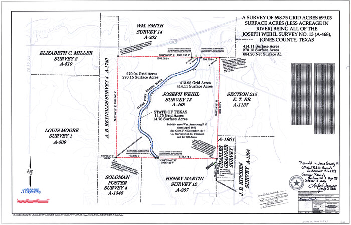
Jones County Rolled Sketch 3
2016
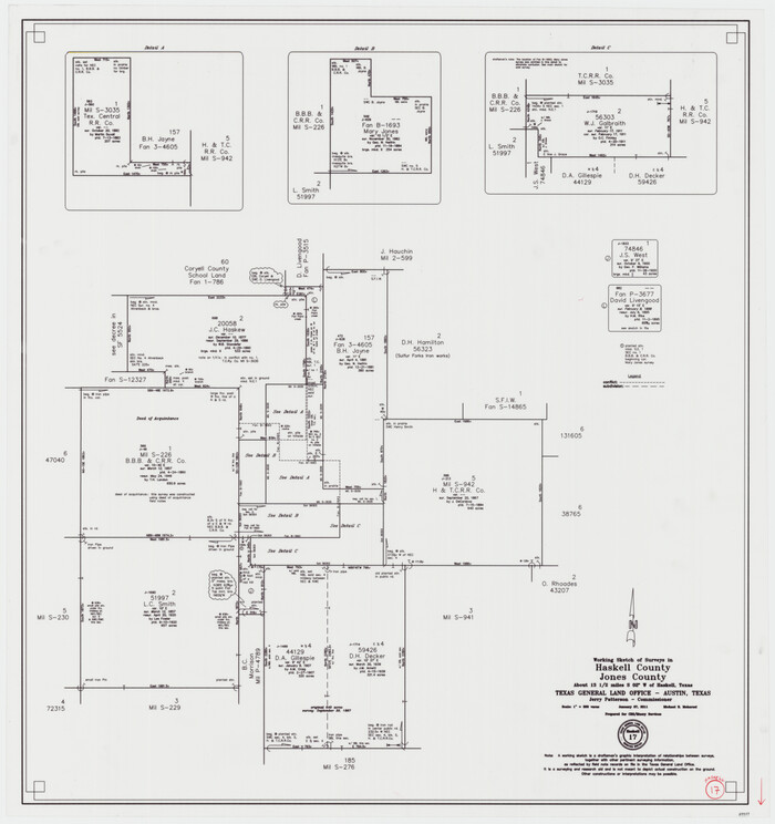
Haskell County Working Sketch 17
2011

Jones County Rolled Sketch 2
2009

Haskell County Working Sketch 15
1983

Jones County Working Sketch 10
1982

Jones County Sketch File 18
1981

Jones County Working Sketch 9
1980

Jones County Working Sketch 8
1979

Fisher County Rolled Sketch 6
1971

General Highway Map, Jones County, Texas
1961

Jones County Rolled Sketch 1
1957
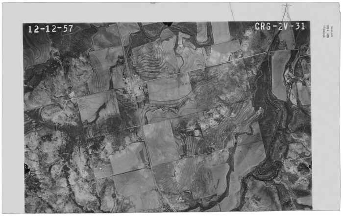
Jones County Rolled Sketch 1
1957

Jones County Working Sketch 7
1957
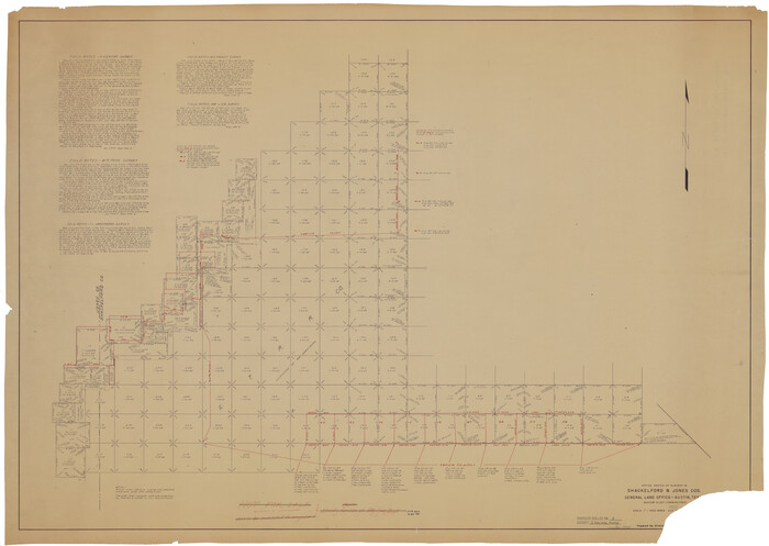
Shackelford County Rolled Sketch 3
1955

Stonewall County Sketch File 27
1955

S. M. S. Flat Top Ranch
1955

Taylor County Working Sketch 8
1953
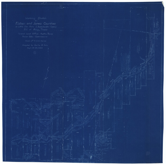
Fisher County Working Sketch 10
1952
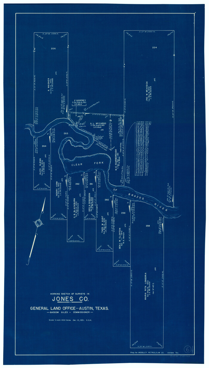
Jones County Working Sketch 6
1951
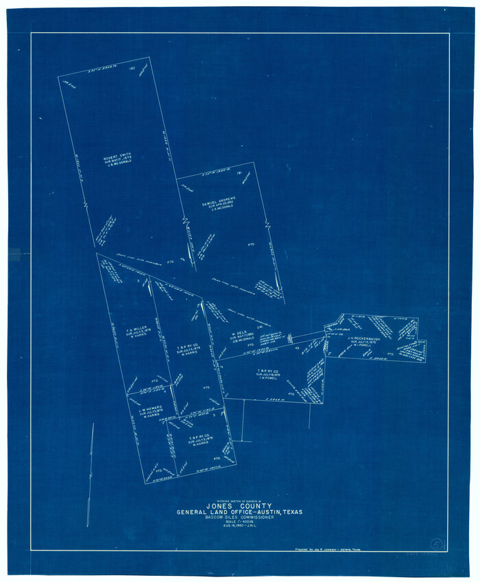
Jones County Working Sketch 5
1950

Jones County Working Sketch 4
1946
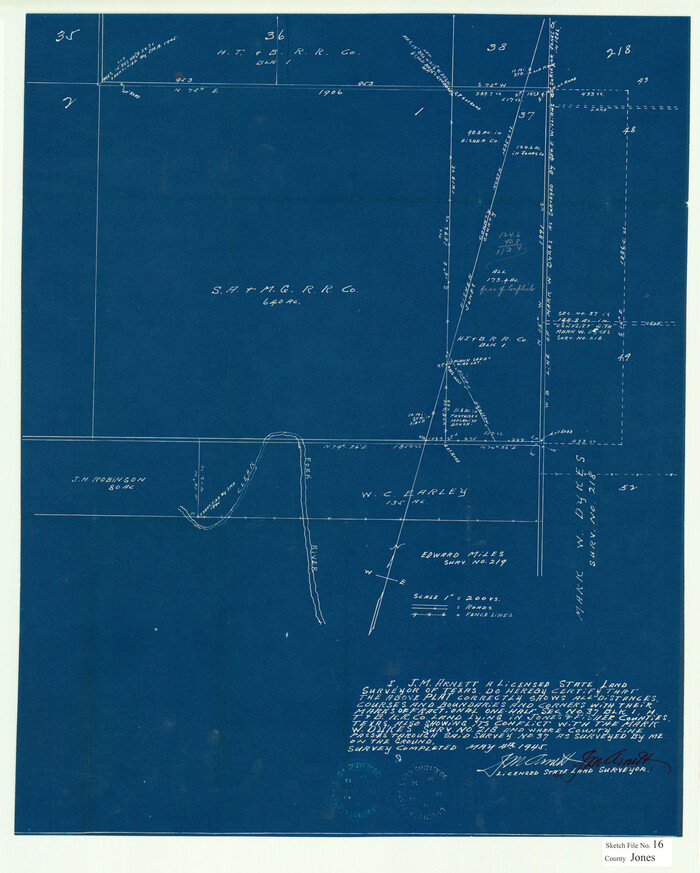
Jones County Sketch File 16
1945

General Highway Map, Jones County, Texas
1940
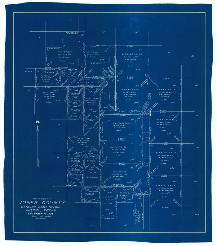
Jones County Working Sketch 3
1938
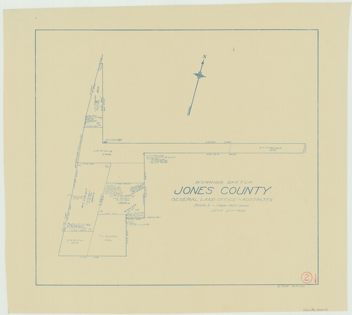
Jones County Working Sketch 2
1928
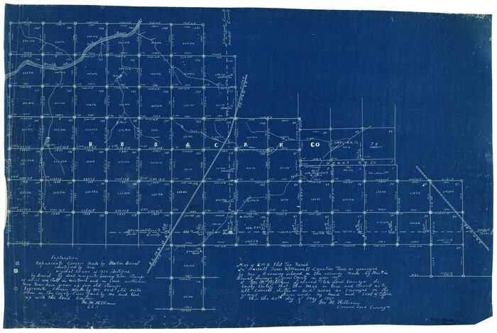
Stonewall County Rolled Sketch 17
1927
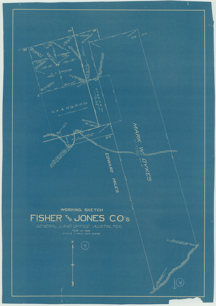
Fisher County Working Sketch 4
1926

Jones County Rolled Sketch 4
2022
-
Size
31.9 x 24.0 inches
-
Map/Doc
97150
-
Creation Date
2022

Jones County Rolled Sketch 3
2016
-
Size
22.1 x 34.4 inches
-
Map/Doc
97130
-
Creation Date
2016

Haskell County Working Sketch 17
2011
-
Size
34.3 x 32.3 inches
-
Map/Doc
89989
-
Creation Date
2011

Jones County Sketch File 21
2010
-
Map/Doc
93292
-
Creation Date
2010

Jones County Rolled Sketch 2
2009
-
Size
48.0 x 34.0 inches
-
Map/Doc
93320
-
Creation Date
2009

Haskell County Working Sketch 15
1983
-
Size
48.0 x 57.5 inches
-
Map/Doc
66073
-
Creation Date
1983

Jones County Working Sketch 10
1982
-
Size
19.3 x 34.3 inches
-
Map/Doc
66648
-
Creation Date
1982

Jones County Sketch File 18
1981
-
Size
13.9 x 11.0 inches
-
Map/Doc
28514
-
Creation Date
1981

Jones County Working Sketch 9
1980
-
Size
17.4 x 22.3 inches
-
Map/Doc
66647
-
Creation Date
1980

Jones County Working Sketch 8
1979
-
Size
25.3 x 20.9 inches
-
Map/Doc
66646
-
Creation Date
1979

Fisher County Rolled Sketch 6
1971
-
Size
26.9 x 26.7 inches
-
Map/Doc
5877
-
Creation Date
1971

General Highway Map, Jones County, Texas
1961
-
Size
18.2 x 24.5 inches
-
Map/Doc
79546
-
Creation Date
1961

Jones County Rolled Sketch 1
1957
-
Size
26.1 x 28.3 inches
-
Map/Doc
6450
-
Creation Date
1957

Jones County Rolled Sketch 1
1957
-
Size
17.7 x 28.1 inches
-
Map/Doc
6451
-
Creation Date
1957

Jones County Working Sketch 7
1957
-
Size
30.8 x 12.7 inches
-
Map/Doc
66645
-
Creation Date
1957

Shackelford County Rolled Sketch 3
1955
-
Size
35.4 x 49.9 inches
-
Map/Doc
9915
-
Creation Date
1955

Stonewall County Sketch File 27
1955
-
Size
10.9 x 7.2 inches
-
Map/Doc
37296
-
Creation Date
1955

S. M. S. Flat Top Ranch
1955
-
Size
23.2 x 32.8 inches
-
Map/Doc
2102
-
Creation Date
1955

Taylor County Working Sketch 8
1953
-
Size
73.2 x 43.1 inches
-
Map/Doc
69618
-
Creation Date
1953

Fisher County Working Sketch 10
1952
-
Size
40.5 x 40.7 inches
-
Map/Doc
69144
-
Creation Date
1952

Jones County Working Sketch 6
1951
-
Size
36.2 x 20.6 inches
-
Map/Doc
66644
-
Creation Date
1951

Jones County Working Sketch 5
1950
-
Size
35.5 x 29.3 inches
-
Map/Doc
66643
-
Creation Date
1950

Jones County Working Sketch 4
1946
-
Size
35.5 x 20.6 inches
-
Map/Doc
66642
-
Creation Date
1946

Jones County Sketch File 16
1945
-
Size
23.7 x 19.0 inches
-
Map/Doc
11901
-
Creation Date
1945

General Highway Map, Jones County, Texas
1940
-
Size
18.5 x 24.8 inches
-
Map/Doc
79150
-
Creation Date
1940

Jones County Working Sketch 3
1938
-
Size
28.7 x 25.4 inches
-
Map/Doc
66641
-
Creation Date
1938

Jones County Working Sketch 2
1928
-
Size
19.9 x 22.2 inches
-
Map/Doc
66640
-
Creation Date
1928

Stonewall County Rolled Sketch 17
1927
-
Size
20.1 x 30.2 inches
-
Map/Doc
7871
-
Creation Date
1927

Fisher County Working Sketch 4
1926
-
Size
24.4 x 17.2 inches
-
Map/Doc
69138
-
Creation Date
1926

Jones County
1921
-
Size
38.9 x 37.9 inches
-
Map/Doc
1869
-
Creation Date
1921