
A Map of that part of Young District south of old Fannin District line
1861

Callahan County Sketch File 6a

Dawson County Sketch File 16

Fisher County Rolled Sketch 6
1971
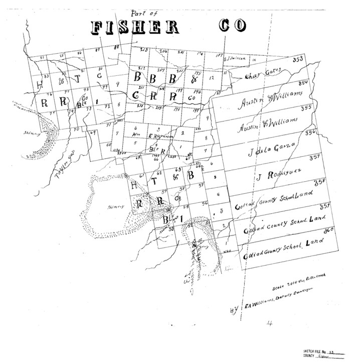
Fisher County Sketch File 13
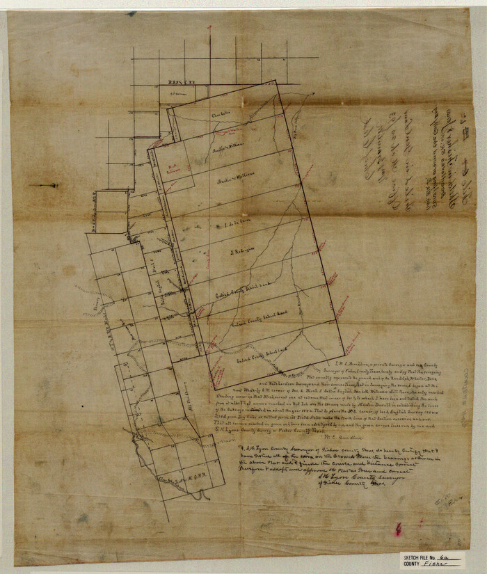
Fisher County Sketch File 6a

Fisher County Sketch File 7
1893
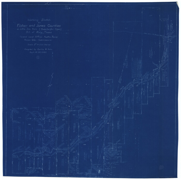
Fisher County Working Sketch 10
1952
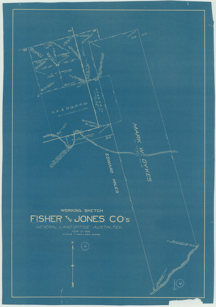
Fisher County Working Sketch 4
1926

General Highway Map, Jones County, Texas
1940

General Highway Map, Jones County, Texas
1961

Haskell County Sketch File 12
1881
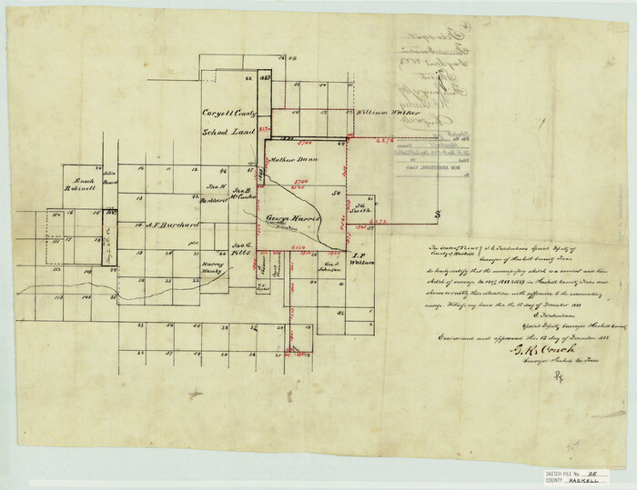
Haskell County Sketch File 25
1888

Haskell County Sketch File 4

Haskell County Working Sketch 15
1983
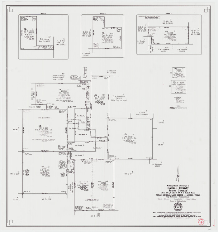
Haskell County Working Sketch 17
2011

Jones County Boundary File 1
1882
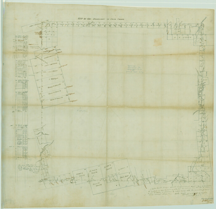
Jones County Boundary File 1a
1882
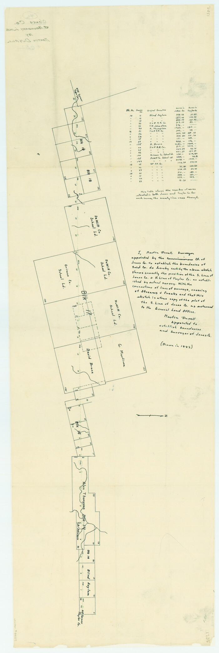
Jones County Boundary File 1b
1882
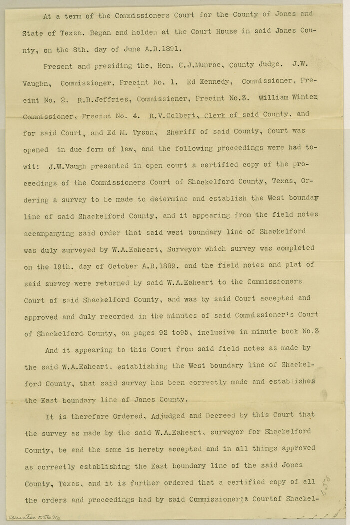
Jones County Boundary File 2

Jones County Rolled Sketch 1
1957

A Map of that part of Young District south of old Fannin District line
1861
-
Size
24.9 x 38.0 inches
-
Map/Doc
1979
-
Creation Date
1861

Callahan County Sketch File 6a
-
Size
8.0 x 6.8 inches
-
Map/Doc
35860

Dawson County Sketch File 16
-
Size
13.4 x 8.8 inches
-
Map/Doc
20551
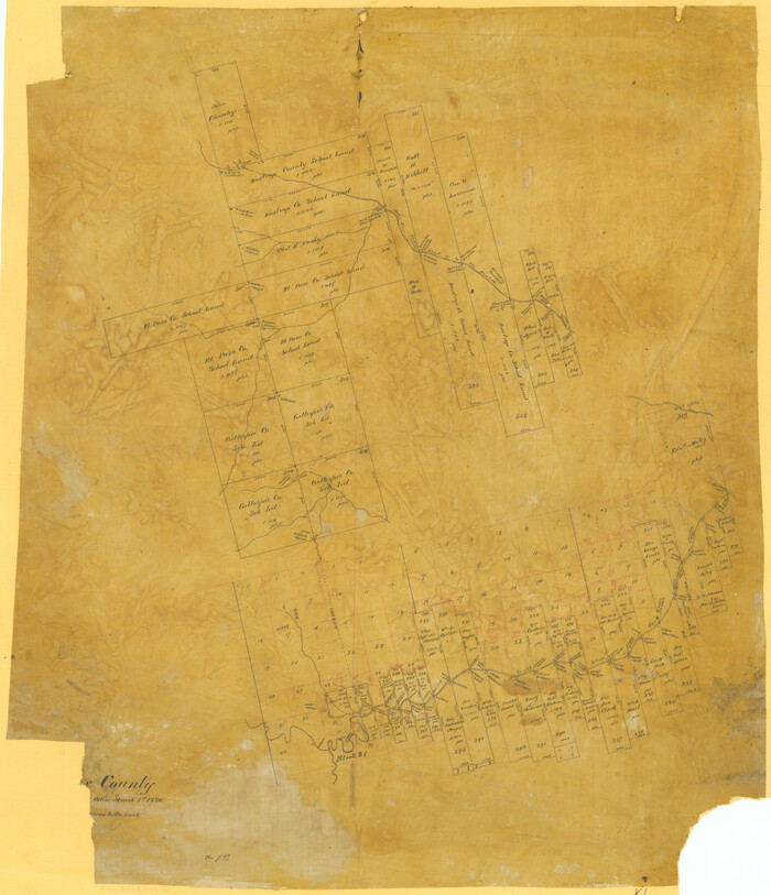
Fisher County
1880
-
Size
29.4 x 25.3 inches
-
Map/Doc
75772
-
Creation Date
1880

Fisher County Rolled Sketch 6
1971
-
Size
26.9 x 26.7 inches
-
Map/Doc
5877
-
Creation Date
1971

Fisher County Sketch File 13
-
Size
18.3 x 17.7 inches
-
Map/Doc
11480

Fisher County Sketch File 6a
-
Size
21.3 x 18.1 inches
-
Map/Doc
11476

Fisher County Sketch File 7
1893
-
Size
14.6 x 9.1 inches
-
Map/Doc
22565
-
Creation Date
1893

Fisher County Working Sketch 10
1952
-
Size
40.5 x 40.7 inches
-
Map/Doc
69144
-
Creation Date
1952

Fisher County Working Sketch 4
1926
-
Size
24.4 x 17.2 inches
-
Map/Doc
69138
-
Creation Date
1926

General Highway Map, Jones County, Texas
1940
-
Size
18.5 x 24.8 inches
-
Map/Doc
79150
-
Creation Date
1940

General Highway Map, Jones County, Texas
1961
-
Size
18.2 x 24.5 inches
-
Map/Doc
79546
-
Creation Date
1961

Haskell County Sketch File 12
1881
-
Size
18.8 x 23.6 inches
-
Map/Doc
11741
-
Creation Date
1881

Haskell County Sketch File 25
1888
-
Size
16.8 x 21.8 inches
-
Map/Doc
11748
-
Creation Date
1888

Haskell County Sketch File 4
-
Size
17.7 x 18.6 inches
-
Map/Doc
11739

Haskell County Working Sketch 15
1983
-
Size
48.0 x 57.5 inches
-
Map/Doc
66073
-
Creation Date
1983

Haskell County Working Sketch 17
2011
-
Size
34.3 x 32.3 inches
-
Map/Doc
89989
-
Creation Date
2011

Jones County
1921
-
Size
38.9 x 37.9 inches
-
Map/Doc
1869
-
Creation Date
1921

Jones County
1884
-
Size
21.0 x 19.0 inches
-
Map/Doc
3738
-
Creation Date
1884
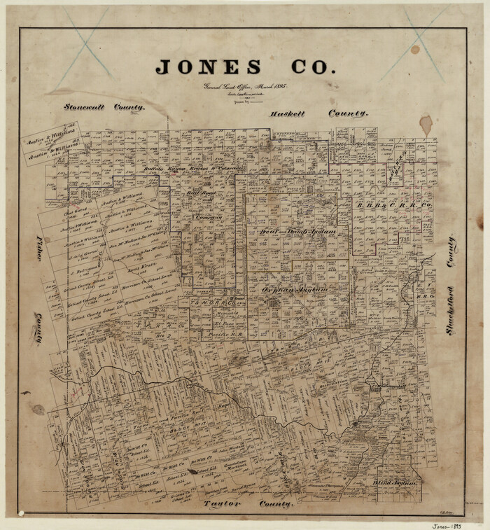
Jones County
1895
-
Size
22.4 x 21.0 inches
-
Map/Doc
3739
-
Creation Date
1895

Jones County
1879
-
Size
22.5 x 19.7 inches
-
Map/Doc
3740
-
Creation Date
1879

Jones County
1879
-
Size
22.0 x 19.1 inches
-
Map/Doc
4574
-
Creation Date
1879

Jones County
1921
-
Size
38.8 x 36.8 inches
-
Map/Doc
73200
-
Creation Date
1921
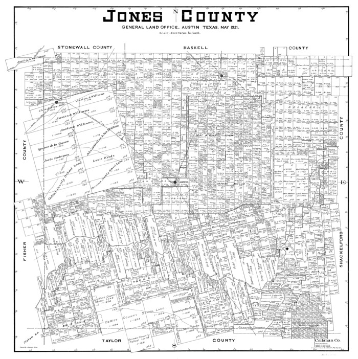
Jones County
1921
-
Size
38.0 x 37.8 inches
-
Map/Doc
77333
-
Creation Date
1921
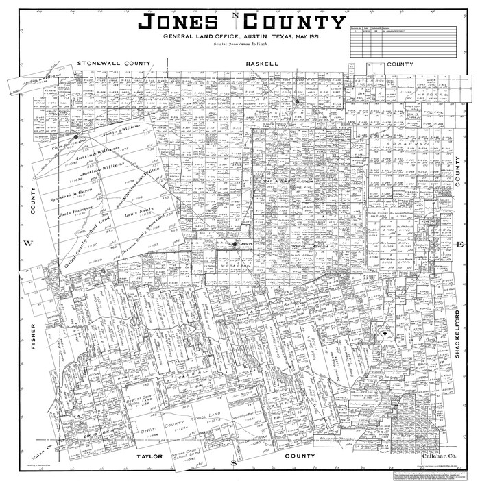
Jones County
1921
-
Size
39.9 x 37.8 inches
-
Map/Doc
95550
-
Creation Date
1921

Jones County Boundary File 1
1882
-
Size
10.7 x 8.2 inches
-
Map/Doc
55633
-
Creation Date
1882

Jones County Boundary File 1a
1882
-
Size
37.9 x 39.2 inches
-
Map/Doc
44358
-
Creation Date
1882

Jones County Boundary File 1b
1882
-
Size
37.5 x 12.6 inches
-
Map/Doc
44359
-
Creation Date
1882

Jones County Boundary File 2
-
Size
12.4 x 8.3 inches
-
Map/Doc
55676

Jones County Rolled Sketch 1
1957
-
Size
26.1 x 28.3 inches
-
Map/Doc
6450
-
Creation Date
1957