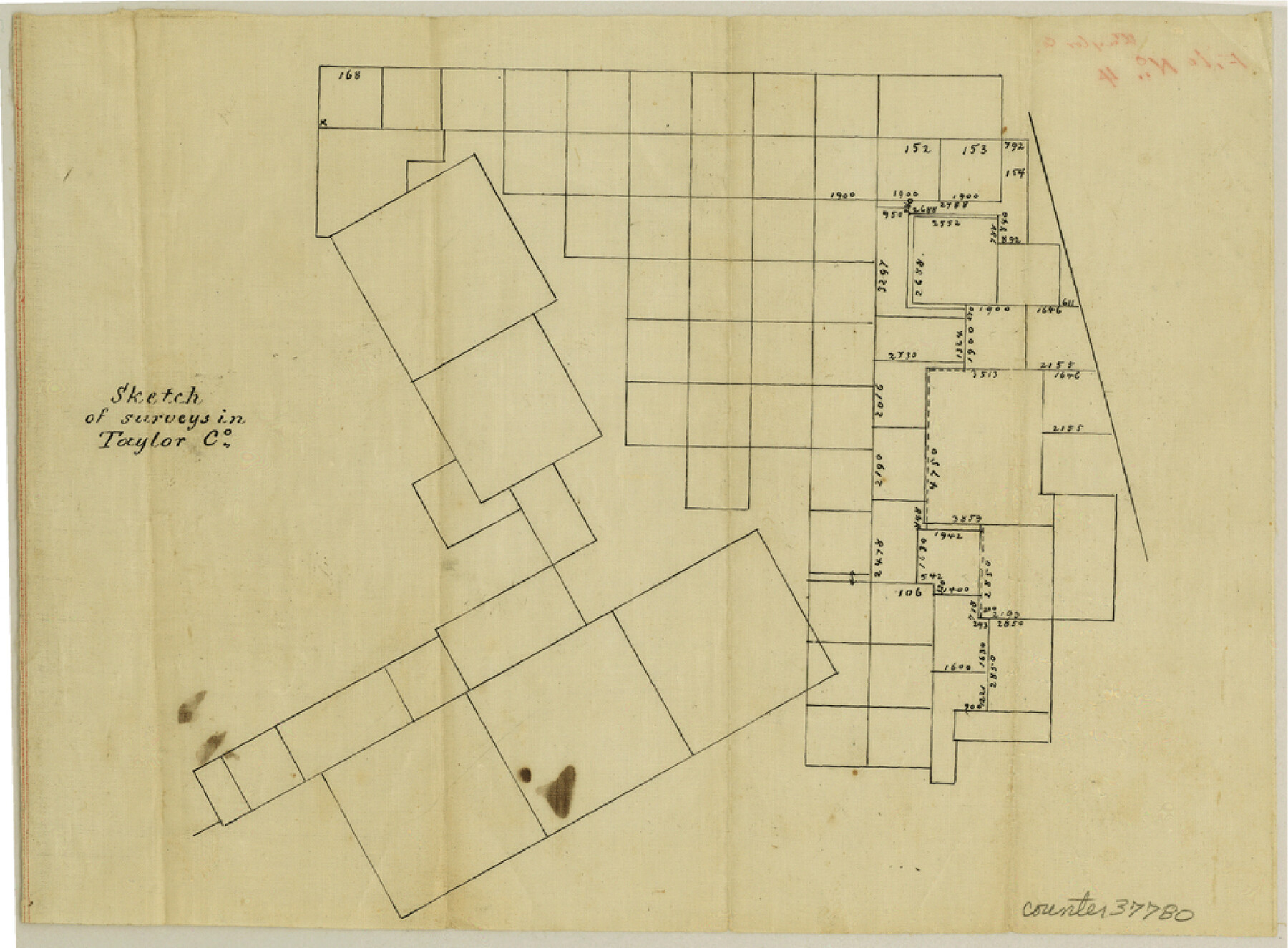
Taylor County Sketch File 4
[Empty skeleton sketch of area in the southwest corner of the county]
-
Map/Doc
37780
-
Collection
General Map Collection
-
Counties
Taylor Runnels
-
Subjects
Surveying Sketch File
-
Height x Width
7.2 x 9.8 inches
18.3 x 24.9 cm
-
Medium
paper, manuscript
Part of: General Map Collection
Baylor County Aerial Photograph Index Sheet 3

Print $20.00
- Digital $50.00
Baylor County Aerial Photograph Index Sheet 3
1950
Size 20.4 x 15.5 inches
Map/Doc 83665
Goliad County Sketch File 24

Print $16.00
- Digital $50.00
Goliad County Sketch File 24
1856
Size 12.9 x 8.2 inches
Map/Doc 24297
Brewster County Working Sketch 71b

Print $40.00
- Digital $50.00
Brewster County Working Sketch 71b
1961
Size 50.6 x 55.0 inches
Map/Doc 67870
Maps of Gulf Intracoastal Waterway, Texas - Sabine River to the Rio Grande and connecting waterways including ship channels

Print $20.00
- Digital $50.00
Maps of Gulf Intracoastal Waterway, Texas - Sabine River to the Rio Grande and connecting waterways including ship channels
1966
Size 14.5 x 22.3 inches
Map/Doc 61978
Grayson County Working Sketch 22

Print $20.00
- Digital $50.00
Grayson County Working Sketch 22
1962
Size 21.5 x 33.6 inches
Map/Doc 63261
Crockett County Working Sketch 50

Print $20.00
- Digital $50.00
Crockett County Working Sketch 50
1940
Size 30.3 x 24.9 inches
Map/Doc 68383
Galveston County Rolled Sketch 7

Print $20.00
- Digital $50.00
Galveston County Rolled Sketch 7
1897
Size 16.0 x 28.4 inches
Map/Doc 5950
San Jacinto County Working Sketch 12

Print $20.00
- Digital $50.00
San Jacinto County Working Sketch 12
1935
Size 33.4 x 37.3 inches
Map/Doc 63725
Roberts County Working Sketch 29

Print $20.00
- Digital $50.00
Roberts County Working Sketch 29
1983
Size 18.6 x 34.8 inches
Map/Doc 63555
Foard County Sketch File X

Print $20.00
- Digital $50.00
Foard County Sketch File X
1882
Size 15.8 x 17.3 inches
Map/Doc 11499
San Luis Pass to East Matagorda Bay

Print $20.00
- Digital $50.00
San Luis Pass to East Matagorda Bay
1960
Size 34.6 x 46.5 inches
Map/Doc 69963
Live Oak County Sketch File 32

Print $6.00
- Digital $50.00
Live Oak County Sketch File 32
1951
Size 11.1 x 8.6 inches
Map/Doc 30330
You may also like
[Map of the Houston and G. N. R.R. and lands adjacent, from Troupe to the Texas Pacific R.R.]
![64628, [Map of the Houston and G. N. R.R. and lands adjacent, from Troupe to the Texas Pacific R.R.], General Map Collection](https://historictexasmaps.com/wmedia_w700/maps/64628.tif.jpg)
Print $40.00
- Digital $50.00
[Map of the Houston and G. N. R.R. and lands adjacent, from Troupe to the Texas Pacific R.R.]
1873
Size 20.2 x 49.3 inches
Map/Doc 64628
Grayson County Sketch File 3a

Print $20.00
- Digital $50.00
Grayson County Sketch File 3a
1855
Size 19.6 x 25.5 inches
Map/Doc 11580
[Surveys between the Sabine River and Little Cypress Creek]
![139, [Surveys between the Sabine River and Little Cypress Creek], General Map Collection](https://historictexasmaps.com/wmedia_w700/maps/139.tif.jpg)
Print $3.00
- Digital $50.00
[Surveys between the Sabine River and Little Cypress Creek]
1840
Size 9.3 x 13.0 inches
Map/Doc 139
Flight Mission No. CLL-1N, Frame 87, Willacy County

Print $20.00
- Digital $50.00
Flight Mission No. CLL-1N, Frame 87, Willacy County
1954
Size 18.3 x 22.0 inches
Map/Doc 87033
Galveston Harbor, Texas - U.S. Harbor Lines - Galveston Harbor, Galveston Channel, Channel from Galveston Harbor to Texas City and Channel to Port Bolivar

Print $20.00
- Digital $50.00
Galveston Harbor, Texas - U.S. Harbor Lines - Galveston Harbor, Galveston Channel, Channel from Galveston Harbor to Texas City and Channel to Port Bolivar
1939
Size 39.4 x 26.7 inches
Map/Doc 73631
Flight Mission No. DQN-2K, Frame 21, Calhoun County

Print $20.00
- Digital $50.00
Flight Mission No. DQN-2K, Frame 21, Calhoun County
1953
Size 18.8 x 22.3 inches
Map/Doc 84228
Bell County Working Sketch 20

Print $20.00
- Digital $50.00
Bell County Working Sketch 20
1996
Size 39.5 x 34.7 inches
Map/Doc 67360
Map of Bastrop County, Texas

Print $20.00
- Digital $50.00
Map of Bastrop County, Texas
1879
Size 25.2 x 23.3 inches
Map/Doc 693
Trinity County Rolled Sketch 1

Print $20.00
- Digital $50.00
Trinity County Rolled Sketch 1
Size 23.0 x 34.7 inches
Map/Doc 8051
Map of Padre Island Showing Location of Zoning Districts

Print $20.00
- Digital $50.00
Map of Padre Island Showing Location of Zoning Districts
1971
Size 18.5 x 26.4 inches
Map/Doc 4812

Roberts County Working Sketch 35

Print $20.00
- Digital $50.00
Roberts County Working Sketch 35
1978
Size 26.7 x 22.5 inches
Map/Doc 63561