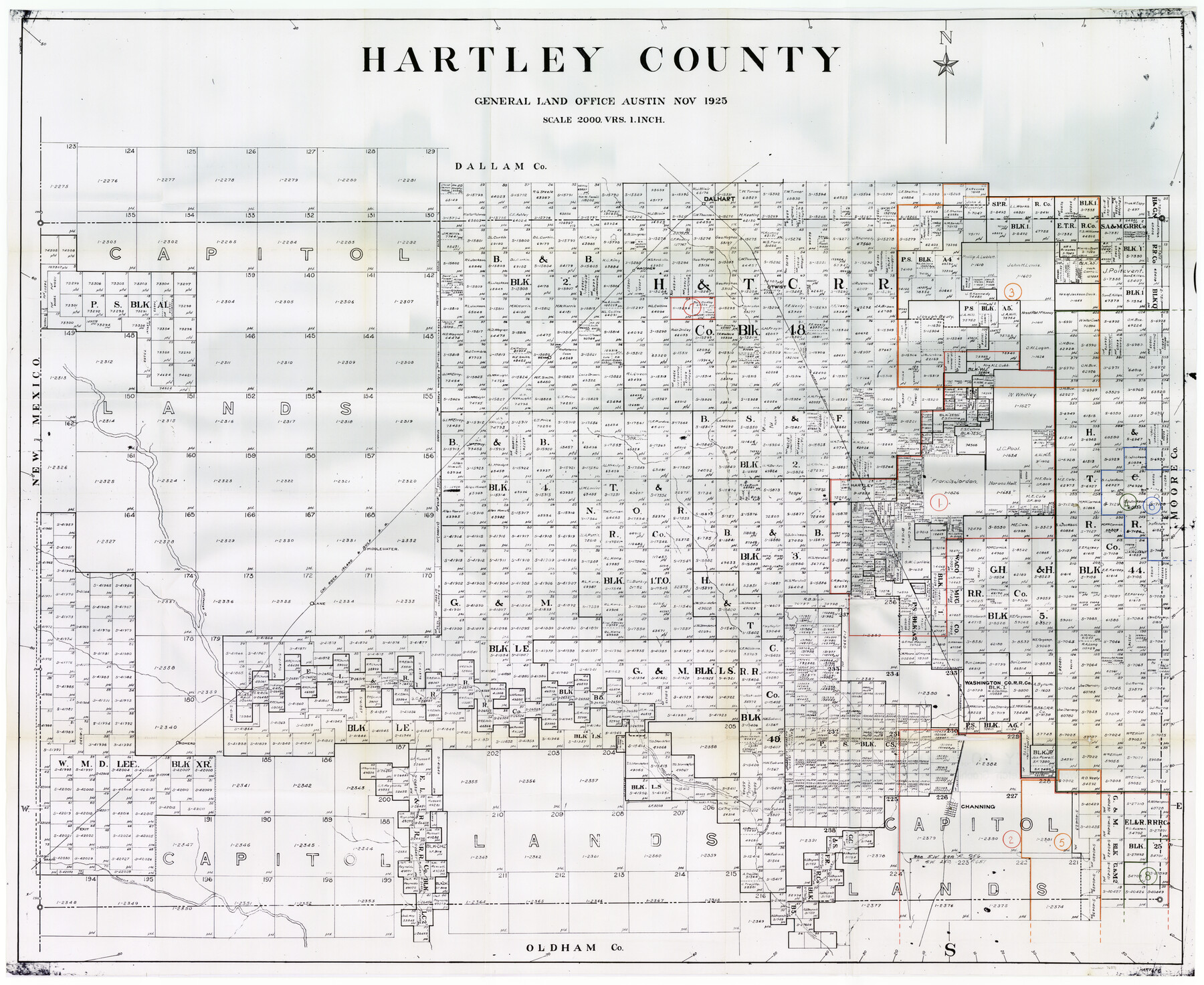
Hartley County Working Sketch Graphic Index
-
Map/Doc
76571
-
Collection
General Map Collection
-
Object Dates
11/1925 (Creation Date)
-
Counties
Hartley
-
Subjects
County Surveying Working Sketch
-
Height x Width
41.0 x 50.0 inches
104.1 x 127.0 cm
-
Scale
1" = 2000 varas
Part of: General Map Collection
Map of Harris County

Print $40.00
- Digital $50.00
Map of Harris County
1897
Size 48.4 x 66.9 inches
Map/Doc 82068
Henderson County Working Sketch 33

Print $20.00
- Digital $50.00
Henderson County Working Sketch 33
1963
Size 31.2 x 29.3 inches
Map/Doc 66166
Roberts County Working Sketch 8

Print $20.00
- Digital $50.00
Roberts County Working Sketch 8
1963
Size 21.9 x 26.0 inches
Map/Doc 63534
El Paso County Rolled Sketch 54

Print $20.00
- Digital $50.00
El Paso County Rolled Sketch 54
1980
Size 30.4 x 42.8 inches
Map/Doc 44539
[Surveys along the Colorado River]
![112, [Surveys along the Colorado River], General Map Collection](https://historictexasmaps.com/wmedia_w700/maps/112.tif.jpg)
Print $2.00
- Digital $50.00
[Surveys along the Colorado River]
1841
Size 12.2 x 8.3 inches
Map/Doc 112
Baie de Galvez-Town

Print $20.00
- Digital $50.00
Baie de Galvez-Town
1820
Size 10.3 x 12.9 inches
Map/Doc 95832
Flight Mission No. CGI-4N, Frame 25, Cameron County

Print $20.00
- Digital $50.00
Flight Mission No. CGI-4N, Frame 25, Cameron County
1954
Size 18.7 x 22.4 inches
Map/Doc 84658
Flight Mission No. DCL-7C, Frame 68, Kenedy County

Print $20.00
- Digital $50.00
Flight Mission No. DCL-7C, Frame 68, Kenedy County
1943
Size 15.3 x 15.2 inches
Map/Doc 86054
Flight Mission No. BRE-2P, Frame 62, Nueces County

Print $20.00
- Digital $50.00
Flight Mission No. BRE-2P, Frame 62, Nueces County
1956
Size 18.3 x 22.5 inches
Map/Doc 86757
Webb County Sketch File 72

Print $24.00
- Digital $50.00
Webb County Sketch File 72
2011
Size 11.0 x 8.5 inches
Map/Doc 90054
Potter County Sketch File 16

Print $38.00
- Digital $50.00
Potter County Sketch File 16
Size 13.0 x 13.9 inches
Map/Doc 34401
Webb County Working Sketch Graphic Index - south part

Print $40.00
- Digital $50.00
Webb County Working Sketch Graphic Index - south part
1984
Size 43.4 x 62.9 inches
Map/Doc 76735
You may also like
Terrell County Working Sketch 19

Print $20.00
- Digital $50.00
Terrell County Working Sketch 19
1932
Size 18.8 x 25.7 inches
Map/Doc 62169
Ector County Sketch File 5

Print $6.00
- Digital $50.00
Ector County Sketch File 5
1939
Size 9.1 x 14.5 inches
Map/Doc 21637
General Highway Map, Kaufman County, Texas

Print $20.00
General Highway Map, Kaufman County, Texas
1961
Size 24.9 x 18.1 inches
Map/Doc 79548
Hopkins County

Print $20.00
- Digital $50.00
Hopkins County
1942
Size 43.6 x 41.6 inches
Map/Doc 1858
![94159, Austin Street Map [Verso], General Map Collection](https://historictexasmaps.com/wmedia_w700/maps/94159.tif.jpg)
Duval County Sketch File 19

Print $4.00
- Digital $50.00
Duval County Sketch File 19
1880
Size 10.3 x 8.2 inches
Map/Doc 21316
Flight Mission No. DCL-5C, Frame 51, Kenedy County

Print $20.00
- Digital $50.00
Flight Mission No. DCL-5C, Frame 51, Kenedy County
1943
Size 18.5 x 22.2 inches
Map/Doc 85847
Lipscomb County Sketch File 1

Print $40.00
- Digital $50.00
Lipscomb County Sketch File 1
Size 51.7 x 14.2 inches
Map/Doc 10525
Lavaca County Sketch File 3

Print $8.00
- Digital $50.00
Lavaca County Sketch File 3
1853
Size 10.1 x 9.8 inches
Map/Doc 29633
Uvalde County Boundary File 1

Print $48.00
- Digital $50.00
Uvalde County Boundary File 1
Size 13.8 x 8.8 inches
Map/Doc 59536
Reagan County Sketch File 12

Print $20.00
- Digital $50.00
Reagan County Sketch File 12
1928
Size 23.2 x 18.3 inches
Map/Doc 12218
Flight Mission No. DAH-9M, Frame 86, Orange County

Print $20.00
- Digital $50.00
Flight Mission No. DAH-9M, Frame 86, Orange County
1953
Size 18.4 x 22.2 inches
Map/Doc 86850