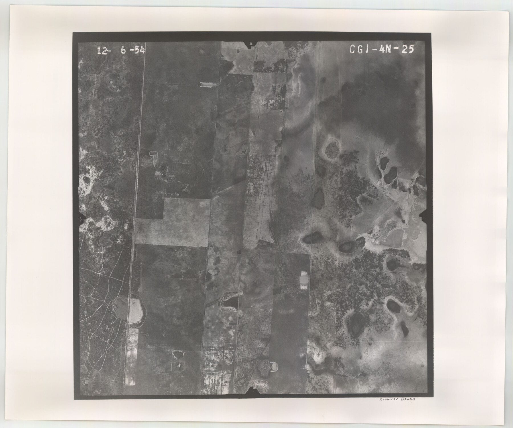
Flight Mission No. CGI-4N, Frame 25, Cameron County
CGI-4N-25
-
Map/Doc
84658
-
Collection
General Map Collection
-
Object Dates
1954/12/6 (Creation Date)
-
People and Organizations
U. S. Department of Agriculture (Publisher)
-
Counties
Cameron
-
Subjects
Aerial Photograph
-
Height x Width
18.7 x 22.4 inches
47.5 x 56.9 cm
-
Comments
Flown by Puckett Aerial Surveys, Inc. of Jackson, Mississippi.
Part of: General Map Collection
Travis County

Print $40.00
- Digital $50.00
Travis County
1880
Size 59.4 x 68.7 inches
Map/Doc 16903
Northwest Part Crockett County

Print $40.00
- Digital $50.00
Northwest Part Crockett County
1983
Size 37.3 x 48.3 inches
Map/Doc 95470
Henderson County Boundary File 2

Print $12.00
- Digital $50.00
Henderson County Boundary File 2
Size 10.6 x 8.2 inches
Map/Doc 54650
Crosby County Sketch File 23

Print $20.00
- Digital $50.00
Crosby County Sketch File 23
1913
Size 15.0 x 27.2 inches
Map/Doc 11254

Flight Mission No. BRA-16M, Frame 59, Jefferson County

Print $20.00
- Digital $50.00
Flight Mission No. BRA-16M, Frame 59, Jefferson County
1953
Size 18.3 x 22.5 inches
Map/Doc 85676
Bosque County Working Sketch 9

Print $20.00
- Digital $50.00
Bosque County Working Sketch 9
1943
Size 11.2 x 18.3 inches
Map/Doc 67442

Fayette County Working Sketch Graphic Index

Print $40.00
- Digital $50.00
Fayette County Working Sketch Graphic Index
1978
Size 42.9 x 54.7 inches
Map/Doc 76541
Haskell County Rolled Sketch 7

Print $20.00
- Digital $50.00
Haskell County Rolled Sketch 7
1940
Size 22.0 x 26.5 inches
Map/Doc 6167
Pecos County Rolled Sketch DK5

Print $20.00
- Digital $50.00
Pecos County Rolled Sketch DK5
Size 24.3 x 16.8 inches
Map/Doc 7310
San Augustine County Working Sketch 15

Print $20.00
- Digital $50.00
San Augustine County Working Sketch 15
1959
Size 26.6 x 36.7 inches
Map/Doc 63703
You may also like
B2 - Part of the Boundary between the United States and Texas North of Sabine River from the 39th [i.e. 36th] to the 72nd mile mound
![94004, B2 - Part of the Boundary between the United States and Texas North of Sabine River from the 39th [i.e. 36th] to the 72nd mile mound, General Map Collection](https://historictexasmaps.com/wmedia_w700/maps/94004-1.tif.jpg)
Print $20.00
- Digital $50.00
B2 - Part of the Boundary between the United States and Texas North of Sabine River from the 39th [i.e. 36th] to the 72nd mile mound
Size 28.6 x 22.2 inches
Map/Doc 94004
Crockett County Rolled Sketch 46C

Print $20.00
- Digital $50.00
Crockett County Rolled Sketch 46C
1954
Size 25.3 x 31.6 inches
Map/Doc 5782
Angelina County Working Sketch 5

Print $20.00
- Digital $50.00
Angelina County Working Sketch 5
1912
Size 22.0 x 26.2 inches
Map/Doc 67085
Flight Mission No. DQN-2K, Frame 2, Calhoun County

Print $20.00
- Digital $50.00
Flight Mission No. DQN-2K, Frame 2, Calhoun County
1953
Size 18.6 x 22.3 inches
Map/Doc 84219
Real County Working Sketch 41

Print $20.00
- Digital $50.00
Real County Working Sketch 41
1952
Size 34.1 x 23.6 inches
Map/Doc 71933
Austin Empresario Colony. March 27, 1827

Print $20.00
Austin Empresario Colony. March 27, 1827
2020
Size 18.0 x 21.6 inches
Map/Doc 95980

Ward County Rolled Sketch 3

Print $40.00
- Digital $50.00
Ward County Rolled Sketch 3
Size 65.3 x 25.7 inches
Map/Doc 10101
Colorado River, Hungerford Sheet

Print $6.00
- Digital $50.00
Colorado River, Hungerford Sheet
1941
Size 24.1 x 35.4 inches
Map/Doc 65309
Cecil Stein Drilling Block

Print $3.00
- Digital $50.00
Cecil Stein Drilling Block
1951
Size 12.3 x 9.5 inches
Map/Doc 92280
Harris County Working Sketch 5

Print $20.00
- Digital $50.00
Harris County Working Sketch 5
Size 35.1 x 28.0 inches
Map/Doc 65897
Sabine County

Print $20.00
- Digital $50.00
Sabine County
1920
Size 41.2 x 31.8 inches
Map/Doc 77413