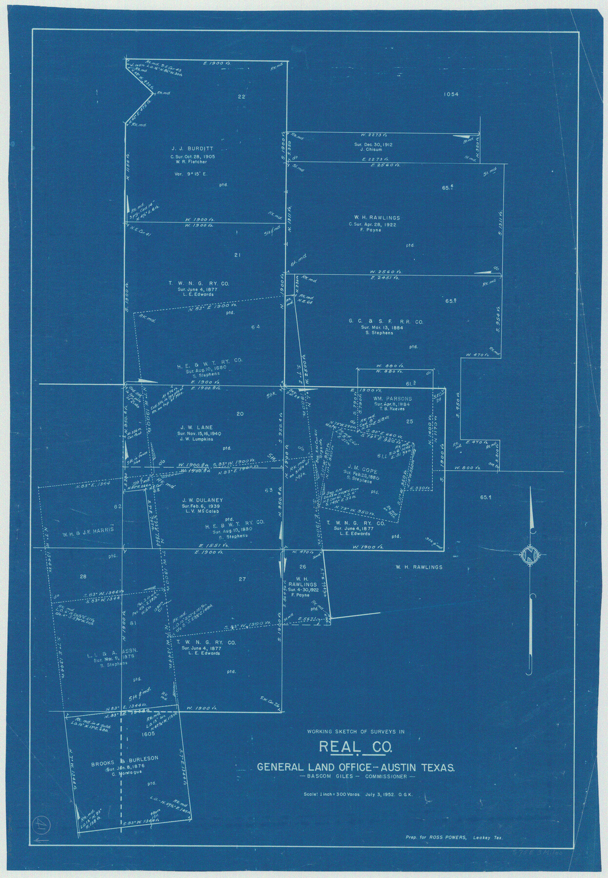
Real County Working Sketch 41
-
Map/Doc
71933
-
Collection
General Map Collection
-
Object Dates
7/3/1952 (Creation Date)
-
People and Organizations
Otto G. Kurio (Draftsman)
-
Counties
Real
-
Subjects
Surveying Working Sketch
-
Height x Width
34.1 x 23.6 inches
86.6 x 59.9 cm
-
Scale
1" = 300 varas
Part of: General Map Collection
Lamb County Rolled Sketch 8

Print $20.00
- Digital $50.00
Lamb County Rolled Sketch 8
1910
Size 40.1 x 32.8 inches
Map/Doc 10728
Chambers County Sketch File 30

Print $4.00
- Digital $50.00
Chambers County Sketch File 30
1859
Size 11.0 x 8.6 inches
Map/Doc 17612
Tom Green County Sketch File 31

Print $40.00
- Digital $50.00
Tom Green County Sketch File 31
Size 14.2 x 13.4 inches
Map/Doc 38190
Blanco County Working Sketch 1

Print $20.00
- Digital $50.00
Blanco County Working Sketch 1
Size 31.1 x 17.4 inches
Map/Doc 76449
Montgomery County Rolled Sketch 44

Print $20.00
- Digital $50.00
Montgomery County Rolled Sketch 44
2004
Size 24.5 x 18.1 inches
Map/Doc 82451
Reeves County Working Sketch 2

Print $20.00
- Digital $50.00
Reeves County Working Sketch 2
1903
Size 22.6 x 42.4 inches
Map/Doc 63444

Hardin County Working Sketch 43

Print $20.00
- Digital $50.00
Hardin County Working Sketch 43
2001
Size 45.4 x 37.4 inches
Map/Doc 83572
Frio County Working Sketch 22

Print $20.00
- Digital $50.00
Frio County Working Sketch 22
1990
Size 24.9 x 33.9 inches
Map/Doc 69296
Map of Zapata County

Print $20.00
- Digital $50.00
Map of Zapata County
1863
Size 35.0 x 28.0 inches
Map/Doc 4175
Atascosa County Boundary File 5

Print $32.00
- Digital $50.00
Atascosa County Boundary File 5
Size 8.8 x 6.3 inches
Map/Doc 50198
Flight Mission No. CRK-3P, Frame 178, Refugio County

Print $20.00
- Digital $50.00
Flight Mission No. CRK-3P, Frame 178, Refugio County
1956
Size 18.4 x 22.2 inches
Map/Doc 86925
You may also like
Potter County Boundary File 3

Print $10.00
- Digital $50.00
Potter County Boundary File 3
Size 5.8 x 8.9 inches
Map/Doc 57974
Comal County Sketch File 12

Print $4.00
- Digital $50.00
Comal County Sketch File 12
Size 8.4 x 11.3 inches
Map/Doc 19024
[United States]
![97197, [United States], General Map Collection](https://historictexasmaps.com/wmedia_w700/maps/97197.tif.jpg)
Print $20.00
- Digital $50.00
[United States]
1848
Size 17.7 x 37.4 inches
Map/Doc 97197
Location of the Southern Kansas Railway of Texas through Hemphill County, Texas

Print $40.00
- Digital $50.00
Location of the Southern Kansas Railway of Texas through Hemphill County, Texas
1887
Size 20.2 x 91.8 inches
Map/Doc 64000
Somervell County Working Sketch 3

Print $20.00
- Digital $50.00
Somervell County Working Sketch 3
1968
Size 23.0 x 30.4 inches
Map/Doc 63907
Smith County Rolled Sketch 8

Print $20.00
- Digital $50.00
Smith County Rolled Sketch 8
2006
Size 24.7 x 37.0 inches
Map/Doc 95411
Nueces County Rolled Sketch 56

Print $53.00
- Digital $50.00
Nueces County Rolled Sketch 56
1978
Size 10.0 x 15.1 inches
Map/Doc 47890
Kimble County Working Sketch 70

Print $20.00
- Digital $50.00
Kimble County Working Sketch 70
1965
Size 41.2 x 25.3 inches
Map/Doc 70138
St Francis situated in Potter and Carson Counties, Texas

Print $20.00
- Digital $50.00
St Francis situated in Potter and Carson Counties, Texas
Size 22.4 x 27.7 inches
Map/Doc 93082
Wood County Sketch File 4

Print $4.00
- Digital $50.00
Wood County Sketch File 4
1855
Size 10.2 x 8.1 inches
Map/Doc 40635
San Jacinto River, Buff Lake Sheet 2/Caney Creek

Print $4.00
- Digital $50.00
San Jacinto River, Buff Lake Sheet 2/Caney Creek
1937
Size 24.1 x 24.7 inches
Map/Doc 65148
