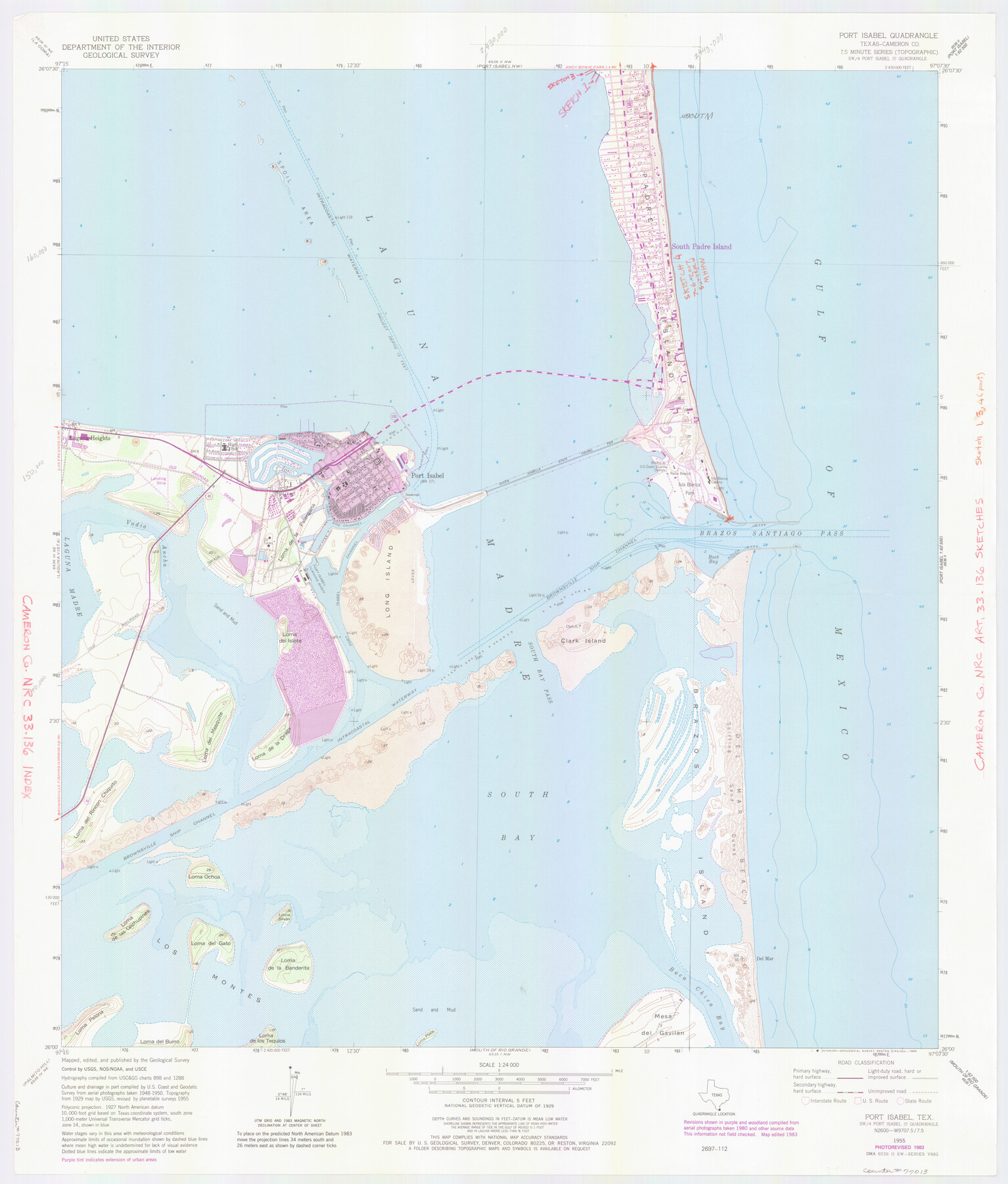
Cameron County NRC Article 33.136 Location Key Sheet
Laguna Vista Quadrangle
-
Map/Doc
77013
-
Collection
General Map Collection
-
Object Dates
1983 (Creation Date)
-
People and Organizations
U. S. Geological Survey (Publisher)
U. S. Geological Survey (Printer)
-
Counties
Cameron
-
Subjects
Surveying CBS
-
Height x Width
27.0 x 22.0 inches
68.6 x 55.9 cm
Part of: General Map Collection
Borden County Sketch File 10a

Print $40.00
- Digital $50.00
Borden County Sketch File 10a
Size 21.0 x 37.5 inches
Map/Doc 10935
Sterling County Sketch File A

Print $20.00
- Digital $50.00
Sterling County Sketch File A
1906
Size 18.2 x 26.0 inches
Map/Doc 12362
El Paso County Working Sketch 22

Print $20.00
- Digital $50.00
El Paso County Working Sketch 22
1961
Size 21.6 x 20.0 inches
Map/Doc 69044
Flight Mission No. BRE-2P, Frame 9, Nueces County

Print $20.00
- Digital $50.00
Flight Mission No. BRE-2P, Frame 9, Nueces County
1956
Size 18.5 x 22.3 inches
Map/Doc 86718
Hutchinson County Working Sketch 36

Print $20.00
- Digital $50.00
Hutchinson County Working Sketch 36
1978
Size 27.2 x 22.4 inches
Map/Doc 66396
Pecos County Rolled Sketch 82

Print $20.00
- Digital $50.00
Pecos County Rolled Sketch 82
1930
Size 28.3 x 25.8 inches
Map/Doc 10191
Hemphill County Rolled Sketch 18

Print $20.00
- Digital $50.00
Hemphill County Rolled Sketch 18
Size 23.6 x 35.0 inches
Map/Doc 6200
Flight Mission No. DCL-7C, Frame 8, Kenedy County

Print $20.00
- Digital $50.00
Flight Mission No. DCL-7C, Frame 8, Kenedy County
1943
Size 15.4 x 15.2 inches
Map/Doc 86000
Flight Mission No. BQR-9K, Frame 48, Brazoria County

Print $20.00
- Digital $50.00
Flight Mission No. BQR-9K, Frame 48, Brazoria County
1952
Size 18.7 x 22.2 inches
Map/Doc 84052
Clay County Sketch File 6

Print $4.00
- Digital $50.00
Clay County Sketch File 6
1854
Size 8.1 x 12.5 inches
Map/Doc 18395
Edwards County Working Sketch 11

Print $20.00
- Digital $50.00
Edwards County Working Sketch 11
1922
Size 18.8 x 31.7 inches
Map/Doc 68887
Exploration of the Red River of Louisiana in the the year 1852 by Randolph B. Marcy, Captain Fifth Infantry U.S. Army; assisted by George B. McClellan, Brevet Captain U.S. Engineers

Exploration of the Red River of Louisiana in the the year 1852 by Randolph B. Marcy, Captain Fifth Infantry U.S. Army; assisted by George B. McClellan, Brevet Captain U.S. Engineers
Size 9.5 x 11.7 inches
Map/Doc 95321
You may also like
[Surveys in Austin's Colony along New Year's Creek and the Navidad River]
![212, [Surveys in Austin's Colony along New Year's Creek and the Navidad River], General Map Collection](https://historictexasmaps.com/wmedia_w700/maps/212.tif.jpg)
Print $20.00
- Digital $50.00
[Surveys in Austin's Colony along New Year's Creek and the Navidad River]
Size 20.2 x 15.6 inches
Map/Doc 212
Maps of Gulf Intracoastal Waterway, Texas - Sabine River to the Rio Grande and connecting waterways including ship channels

Print $20.00
- Digital $50.00
Maps of Gulf Intracoastal Waterway, Texas - Sabine River to the Rio Grande and connecting waterways including ship channels
1966
Size 14.3 x 20.8 inches
Map/Doc 61994
Right of Way and Track Map International & Gt Northern Ry. operated by the International & Gt. Northern Ry. Co., San Antonio Division

Print $40.00
- Digital $50.00
Right of Way and Track Map International & Gt Northern Ry. operated by the International & Gt. Northern Ry. Co., San Antonio Division
1917
Size 25.5 x 57.3 inches
Map/Doc 64589
Reagan County Working Sketch 43

Print $20.00
- Digital $50.00
Reagan County Working Sketch 43
1984
Size 36.4 x 27.1 inches
Map/Doc 71885
Flight Mission No. DQO-3K, Frame 20, Galveston County

Print $20.00
- Digital $50.00
Flight Mission No. DQO-3K, Frame 20, Galveston County
1952
Size 18.8 x 22.6 inches
Map/Doc 85061
Pecos County Sketch File 73

Print $48.00
- Digital $50.00
Pecos County Sketch File 73
1940
Size 8.9 x 9.1 inches
Map/Doc 33876
Walker County

Print $20.00
- Digital $50.00
Walker County
1944
Size 40.4 x 34.4 inches
Map/Doc 77448
Township No. 4 South Range No. 17 West of the Indian Meridian

Print $20.00
- Digital $50.00
Township No. 4 South Range No. 17 West of the Indian Meridian
1875
Size 19.2 x 24.4 inches
Map/Doc 75164
Hemphill County Working Sketch 20

Print $20.00
- Digital $50.00
Hemphill County Working Sketch 20
1972
Size 34.9 x 47.1 inches
Map/Doc 66115
Brazoria County Rolled Sketch 20

Print $20.00
- Digital $50.00
Brazoria County Rolled Sketch 20
1917
Size 31.1 x 47.1 inches
Map/Doc 8929
McMullen County Working Sketch 42

Print $20.00
- Digital $50.00
McMullen County Working Sketch 42
1980
Size 35.6 x 32.6 inches
Map/Doc 70743
Briscoe County Sketch File H-1

Print $40.00
- Digital $50.00
Briscoe County Sketch File H-1
Size 21.7 x 18.2 inches
Map/Doc 11006