[Surveying Sketch of Jesse McGee in Sabine and Newton Counties]
-
Map/Doc
78480
-
Collection
Maddox Collection
-
Counties
Sabine Newton
-
Height x Width
17.1 x 19.7 inches
43.4 x 50.0 cm
-
Medium
paper, manuscript
-
Features
McKim's Creek
Rock Creek
Sandy Creek
Part of: Maddox Collection
Map showing lands of D. Sullivan known as Santa Rosa Ranch situated in Cameron and Hidalgo Counties, Texas


Print $20.00
- Digital $50.00
Map showing lands of D. Sullivan known as Santa Rosa Ranch situated in Cameron and Hidalgo Counties, Texas
1905
Size 26.2 x 23.2 inches
Map/Doc 4455
[Surveying Sketch of J.H. Vermillion, S.L. Fite, et al in Zapata County]
![698, [Surveying Sketch of J.H. Vermillion, S.L. Fite, et al in Zapata County], Maddox Collection](https://historictexasmaps.com/wmedia_w700/maps/0698.tif.jpg)
![698, [Surveying Sketch of J.H. Vermillion, S.L. Fite, et al in Zapata County], Maddox Collection](https://historictexasmaps.com/wmedia_w700/maps/0698.tif.jpg)
Print $20.00
- Digital $50.00
[Surveying Sketch of J.H. Vermillion, S.L. Fite, et al in Zapata County]
1914
Size 15.6 x 12.1 inches
Map/Doc 698
Sketch in Uvalde County
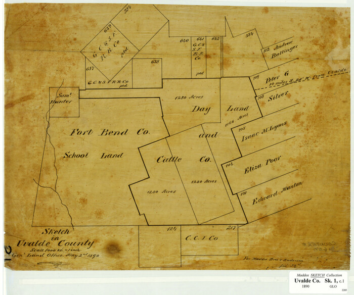

Print $20.00
- Digital $50.00
Sketch in Uvalde County
1890
Size 13.3 x 15.9 inches
Map/Doc 650
Map of Survey in Dimmit and Webb Counties
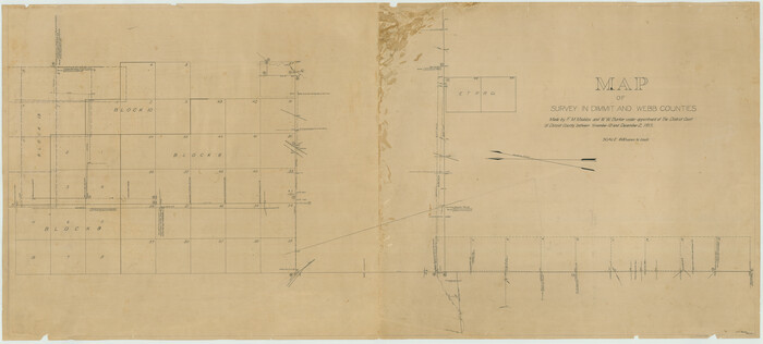

Print $40.00
- Digital $50.00
Map of Survey in Dimmit and Webb Counties
1913
Size 31.2 x 69.2 inches
Map/Doc 75828
Survey of a Portion of Lot. No. 1 of Spear League


Print $20.00
- Digital $50.00
Survey of a Portion of Lot. No. 1 of Spear League
1911
Size 12.2 x 24.2 inches
Map/Doc 477
Midland County, Texas


Print $20.00
- Digital $50.00
Midland County, Texas
1880
Size 25.5 x 21.5 inches
Map/Doc 740
[Upton County Sketch]
![76176, [Upton County Sketch], Maddox Collection](https://historictexasmaps.com/wmedia_w700/maps/76176.tif.jpg)
![76176, [Upton County Sketch], Maddox Collection](https://historictexasmaps.com/wmedia_w700/maps/76176.tif.jpg)
Print $40.00
- Digital $50.00
[Upton County Sketch]
Size 19.1 x 60.8 inches
Map/Doc 76176
Map of Runnels County, Texas
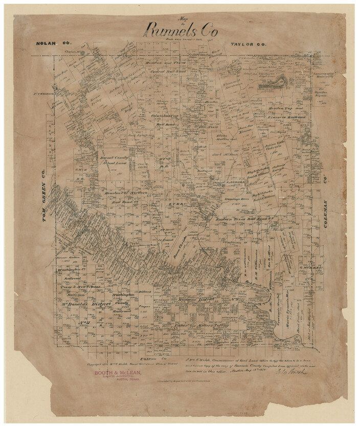

Print $20.00
- Digital $50.00
Map of Runnels County, Texas
1879
Size 28.8 x 22.0 inches
Map/Doc 5035
[Partial Map of Polk County, Texas]
![78452, [Partial Map of Polk County, Texas], Maddox Collection](https://historictexasmaps.com/wmedia_w700/maps/78452.tif.jpg)
![78452, [Partial Map of Polk County, Texas], Maddox Collection](https://historictexasmaps.com/wmedia_w700/maps/78452.tif.jpg)
Print $20.00
- Digital $50.00
[Partial Map of Polk County, Texas]
Size 16.6 x 12.3 inches
Map/Doc 78452
[Sketch showing Miguel Perez, Juan Jose Solis and Francisco Antonio Villareal surveys in Starr County]
![75549, [Sketch showing Miguel Perez, Juan Jose Solis and Francisco Antonio Villareal surveys in Starr County], Maddox Collection](https://historictexasmaps.com/wmedia_w700/maps/75549.tif.jpg)
![75549, [Sketch showing Miguel Perez, Juan Jose Solis and Francisco Antonio Villareal surveys in Starr County], Maddox Collection](https://historictexasmaps.com/wmedia_w700/maps/75549.tif.jpg)
Print $20.00
- Digital $50.00
[Sketch showing Miguel Perez, Juan Jose Solis and Francisco Antonio Villareal surveys in Starr County]
1914
Size 20.9 x 13.6 inches
Map/Doc 75549
[Upton County Sketch]
![5043, [Upton County Sketch], Maddox Collection](https://historictexasmaps.com/wmedia_w700/maps/5043-1.tif.jpg)
![5043, [Upton County Sketch], Maddox Collection](https://historictexasmaps.com/wmedia_w700/maps/5043-1.tif.jpg)
Print $40.00
- Digital $50.00
[Upton County Sketch]
Size 19.2 x 60.3 inches
Map/Doc 5043
Map of the San Antonio del Encinal as Corrected
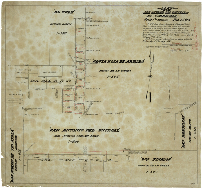

Print $20.00
- Digital $50.00
Map of the San Antonio del Encinal as Corrected
1916
Size 28.5 x 30.6 inches
Map/Doc 4456
You may also like
Austin County Sketch File 16


Print $74.00
- Digital $50.00
Austin County Sketch File 16
Size 14.3 x 8.8 inches
Map/Doc 13888
Real County Rolled Sketch 13
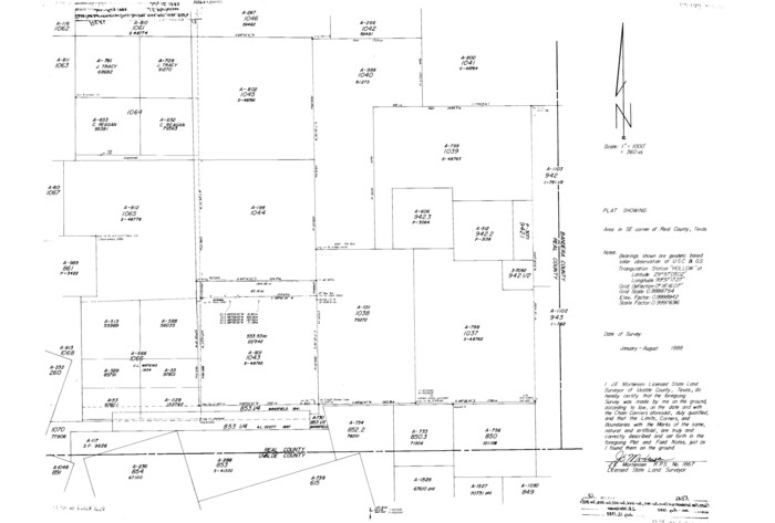

Print $20.00
- Digital $50.00
Real County Rolled Sketch 13
Size 23.0 x 34.0 inches
Map/Doc 9838
Map of Concho County


Print $20.00
- Digital $50.00
Map of Concho County
1879
Size 25.1 x 18.4 inches
Map/Doc 3436
Harris County Working Sketch 117


Print $20.00
- Digital $50.00
Harris County Working Sketch 117
1984
Size 28.2 x 25.5 inches
Map/Doc 66009
Map of Survey 9, Block 1, D.B. Gardner
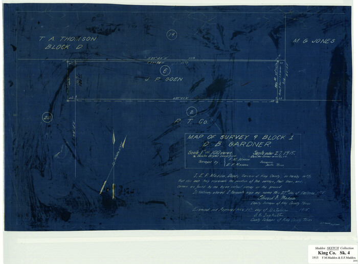

Print $20.00
- Digital $50.00
Map of Survey 9, Block 1, D.B. Gardner
1915
Size 14.0 x 19.0 inches
Map/Doc 415
Terrell County Rolled Sketch 12


Print $20.00
- Digital $50.00
Terrell County Rolled Sketch 12
Size 37.1 x 31.5 inches
Map/Doc 7926
Comanche County Sketch File 1


Print $6.00
- Digital $50.00
Comanche County Sketch File 1
1847
Size 15.4 x 11.8 inches
Map/Doc 19051
Industrial - Commercial - Progressive Dallas


Industrial - Commercial - Progressive Dallas
1940
Size 19.1 x 23.7 inches
Map/Doc 96509
Montgomery Co.


Print $40.00
- Digital $50.00
Montgomery Co.
1943
Size 44.0 x 52.4 inches
Map/Doc 77377
Map of the Texas and Pacific Railway and connections


Print $20.00
- Digital $50.00
Map of the Texas and Pacific Railway and connections
1925
Size 8.2 x 9.3 inches
Map/Doc 95772
Upshur County Working Sketch 17
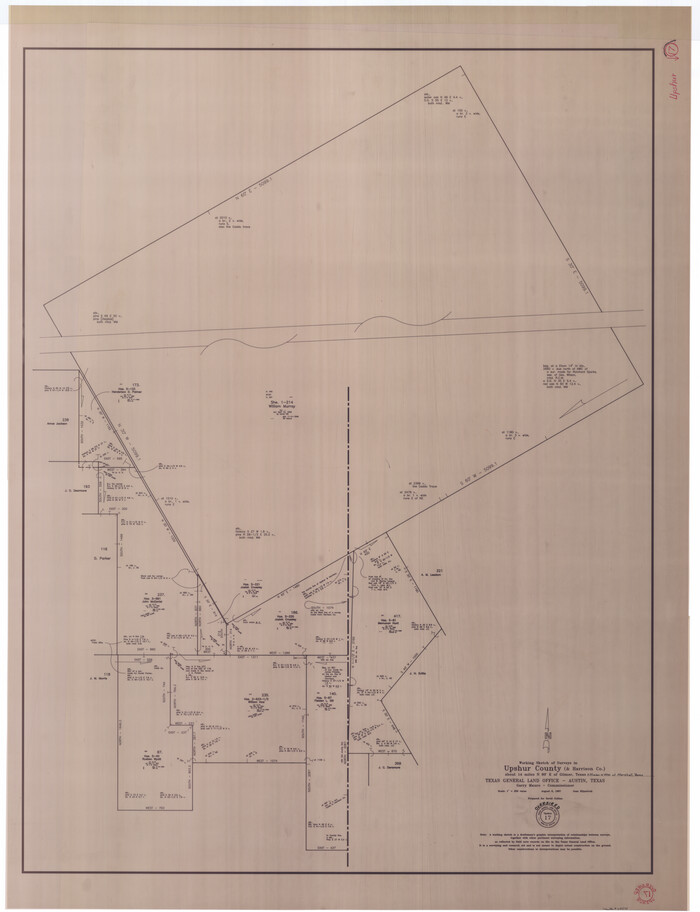

Print $40.00
- Digital $50.00
Upshur County Working Sketch 17
1997
Size 48.4 x 37.1 inches
Map/Doc 69575
Flight Mission No. DQN-5K, Frame 144, Calhoun County
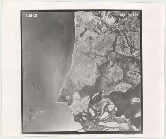

Print $20.00
- Digital $50.00
Flight Mission No. DQN-5K, Frame 144, Calhoun County
1953
Size 18.6 x 22.3 inches
Map/Doc 84419
![78480, [Surveying Sketch of Jesse McGee in Sabine and Newton Counties], Maddox Collection](https://historictexasmaps.com/wmedia_w1800h1800/maps/78480.tif.jpg)