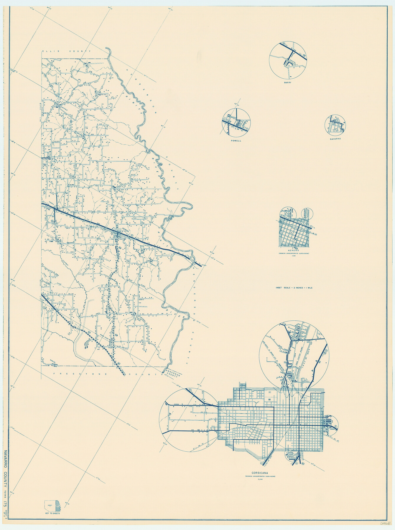
General Highway Map, Navarro County, Texas
- 
                          Map/Doc79206
- 
                            CollectionTexas State Library and Archives
- 
                            Object Dates1939 (Creation Date)
- 
                            People and OrganizationsTexas State Highway Department (Publisher)
- 
                            CountiesNavarro
- 
                            SubjectsCounty
- 
                            Height x Width24.7 x 18.4 inches62.7 x 46.7 cm
- 
                            CommentsPrints available courtesy of the Texas State Library and Archives.
 More info can be found here: TSLAC Map 04960
Part of: Texas State Library and Archives
            Section across Valley Bench and Terraces - South Side of Red River - Big Bend Area


                                            Print $20.00                    
                                    
                Section across Valley Bench and Terraces - South Side of Red River - Big Bend Area
1921
Size 10.2 x 34.8 inches
                                Map/Doc 79750
            
            General Highway Map, Winkler County, Texas


                                            Print $20.00                    
                                    
                General Highway Map, Winkler County, Texas
1961
Size 18.2 x 24.8 inches
                                Map/Doc 79716
            
            A Map of the Internal Provinces of New Spain


                                            Print $20.00                    
                                    
                A Map of the Internal Provinces of New Spain
1807
Size 18.9 x 19.5 inches
                                Map/Doc 76234
            
            Mitchell's Travellers Guide Through the United States.  A Map of the Roads, Distances, Steam Boat, and Canal Routes etc.


                                            Print $20.00                    
                                    
                Mitchell's Travellers Guide Through the United States. A Map of the Roads, Distances, Steam Boat, and Canal Routes etc.
1835
Size 18.0 x 22.7 inches
                                Map/Doc 79723
            
            General Highway Map, Houston County, Texas


                                            Print $20.00                    
                                    
                General Highway Map, Houston County, Texas
1940
Size 18.3 x 24.8 inches
                                Map/Doc 79133
            
            General Highway Map, Jeff Davis County, Texas


                                            Print $20.00                    
                                    
                General Highway Map, Jeff Davis County, Texas
1940
Size 18.6 x 24.8 inches
                                Map/Doc 79143
            
            Mexico and Internal Provinces


                                            Print $20.00                    
                                    
                Mexico and Internal Provinces
1829
Size 12.9 x 14.5 inches
                                Map/Doc 79733
            
            General Highway Map, Wharton County, Texas


                                            Print $20.00                    
                                    
                General Highway Map, Wharton County, Texas
1940
Size 18.5 x 24.9 inches
                                Map/Doc 79274
            
            General Highway Map, Sabine County, Texas


                                            Print $20.00                    
                                    
                General Highway Map, Sabine County, Texas
1961
Size 24.6 x 18.1 inches
                                Map/Doc 79644
            
            Official Highway Map of Texas


                                            Print $20.00                    
                                    
                Official Highway Map of Texas
1928
Size 42.3 x 46.2 inches
                                Map/Doc 79746
            
            General Highway Map.  Detail of Cities and Towns in Travis County, Texas.  City Map, Austin and vicinity, Travis County, Texas


                                            Print $20.00                    
                                    
                General Highway Map. Detail of Cities and Towns in Travis County, Texas. City Map, Austin and vicinity, Travis County, Texas
1961
Size 18.1 x 24.7 inches
                                Map/Doc 79687
            
            Map of that Portion of the Boundary Between the United States and Mexico from the Pacific Coast to the Junction of the Gila and Colorado Rivers


                                            Print $40.00                    
                                    
                Map of that Portion of the Boundary Between the United States and Mexico from the Pacific Coast to the Junction of the Gila and Colorado Rivers
1854
Size 23.9 x 51.4 inches
                                Map/Doc 79323
            You may also like
            El Paso County Boundary File 4


                                            Print $12.00                    
                                             -                         Digital $50.00                                    
                El Paso County Boundary File 4
Size 13.5 x 8.6 inches
                                Map/Doc 53038
            
            Houston County Sketch File 19


                                            Print $4.00                    
                                             -                         Digital $50.00                                    
                Houston County Sketch File 19
1851
Size 12.8 x 8.3 inches
                                Map/Doc 26785
            
            Intracoastal Waterway - Port Arthur to Galveston Bay


                                            Print $20.00                    
                                             -                         Digital $50.00                                    
                Intracoastal Waterway - Port Arthur to Galveston Bay
1957
Size 27.0 x 38.6 inches
                                Map/Doc 69830
            
            Titus County Boundary File 4


                                            Print $18.00                    
                                             -                         Digital $50.00                                    
                Titus County Boundary File 4
Size 9.3 x 7.8 inches
                                Map/Doc 59303
            
            Gaines County Rolled Sketch 30


                                            Print $20.00                    
                                             -                         Digital $50.00                                    
                Gaines County Rolled Sketch 30
1962
Size 19.4 x 26.3 inches
                                Map/Doc 5943
            
            Flight Mission No. DQN-1K, Frame 66, Calhoun County


                                            Print $20.00                    
                                             -                         Digital $50.00                                    
                Flight Mission No. DQN-1K, Frame 66, Calhoun County
1953
Size 18.7 x 22.3 inches
                                Map/Doc 84153
            
            [Map of Nueces Bay Showing Old Leases]
            
                                    ![2924, [Map of Nueces Bay Showing Old Leases], General Map Collection](https://historictexasmaps.com/wmedia_w700/maps/2924-1.tif.jpg) 


    ![2924, [Map of Nueces Bay Showing Old Leases], General Map Collection](https://historictexasmaps.com/wmedia_w700/maps/2924-1.tif.jpg) 
                                
            
                                            Print $20.00                    
                                             -                         Digital $50.00                                    
                [Map of Nueces Bay Showing Old Leases]
1936
Size 18.0 x 22.9 inches
                                Map/Doc 2924
            
            San Augustine County Sketch File 13a


                                            Print $4.00                    
                                    
                San Augustine County Sketch File 13a
1879
Size 8.9 x 14.5 inches
                                Map/Doc 35660
            
            Edwards County Working Sketch 40


                                            Print $20.00                    
                                             -                         Digital $50.00                                    
                Edwards County Working Sketch 40
1949
Size 19.8 x 18.6 inches
                                Map/Doc 68916
            
            Flight Mission No. BRA-16M, Frame 142, Jefferson County


                                            Print $20.00                    
                                             -                         Digital $50.00                                    
                Flight Mission No. BRA-16M, Frame 142, Jefferson County
1953
Size 18.5 x 22.2 inches
                                Map/Doc 85748
            
            Liberty County Sketch File 35


                                            Print $40.00                    
                                             -                         Digital $50.00                                    
                Liberty County Sketch File 35
1890
Size 17.5 x 15.5 inches
                                Map/Doc 29971
            
            [Map of Connecting Lines along or near the Red River]
            
                                    ![75545, [Map of Connecting Lines along or near the Red River], General Map Collection](https://historictexasmaps.com/wmedia_w700/maps/75545.tif.jpg) 


    ![75545, [Map of Connecting Lines along or near the Red River], General Map Collection](https://historictexasmaps.com/wmedia_w700/maps/75545.tif.jpg) 
                                
            
                                            Print $40.00                    
                                             -                         Digital $50.00                                    
                [Map of Connecting Lines along or near the Red River]
Size 37.9 x 48.7 inches
                                Map/Doc 75545
            