General Highway Map. Detail of Cities and Towns in Harris County, Texas. City Map [of] Baytown, Morgan's Point, Lomax, and vicinity, Harris County, Texas
-
Map/Doc
79508
-
Collection
Texas State Library and Archives
-
Object Dates
1961 (Creation Date)
-
People and Organizations
Texas State Highway Department (Publisher)
-
Counties
Harris
-
Subjects
City County
-
Height x Width
18.2 x 24.5 inches
46.2 x 62.2 cm
-
Comments
Prints available courtesy of the Texas State Library and Archives.
More info can be found here: TSLAC Map 05165
Part of: Texas State Library and Archives
General Highway Map, Zapata County, Texas


Print $20.00
General Highway Map, Zapata County, Texas
1940
Size 18.4 x 24.8 inches
Map/Doc 79287
General Highway Map, Erath County, Texas
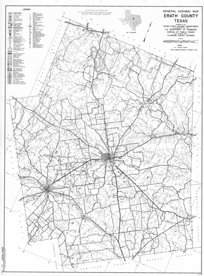

Print $20.00
General Highway Map, Erath County, Texas
1961
Size 24.6 x 18.2 inches
Map/Doc 79460
Map of Texas. The Proposed Reoccupation of the Rio Grande -- Its Importance to the Union


Print $20.00
Map of Texas. The Proposed Reoccupation of the Rio Grande -- Its Importance to the Union
1965
Size 14.1 x 8.6 inches
Map/Doc 76264
General Highway Map. Detail of Cities and Towns in Harris County, Texas. City Map [of] Houston, Pasadena, West University Place, Bellaire, Galena Park, Jacinto City, South Houston, South Side Place, Deer Park, and vicinity, Harris County, Texas
![79505, General Highway Map. Detail of Cities and Towns in Harris County, Texas. City Map [of] Houston, Pasadena, West University Place, Bellaire, Galena Park, Jacinto City, South Houston, South Side Place, Deer Park, and vicinity, Harris County, Texas, Texas State Library and Archives](https://historictexasmaps.com/wmedia_w700/maps/79505.tif.jpg)
![79505, General Highway Map. Detail of Cities and Towns in Harris County, Texas. City Map [of] Houston, Pasadena, West University Place, Bellaire, Galena Park, Jacinto City, South Houston, South Side Place, Deer Park, and vicinity, Harris County, Texas, Texas State Library and Archives](https://historictexasmaps.com/wmedia_w700/maps/79505.tif.jpg)
Print $20.00
General Highway Map. Detail of Cities and Towns in Harris County, Texas. City Map [of] Houston, Pasadena, West University Place, Bellaire, Galena Park, Jacinto City, South Houston, South Side Place, Deer Park, and vicinity, Harris County, Texas
1961
Size 18.0 x 25.0 inches
Map/Doc 79505
General Highway Map, Williamson County, Texas


Print $20.00
General Highway Map, Williamson County, Texas
1961
Size 24.8 x 18.2 inches
Map/Doc 79712
General Highway Map. Detail of Cities and Towns in Cherokee County, Texas [Jacksonville, Rusk, Alto, Wells, and vicinities of these cities]
![79407, General Highway Map. Detail of Cities and Towns in Cherokee County, Texas [Jacksonville, Rusk, Alto, Wells, and vicinities of these cities], Texas State Library and Archives](https://historictexasmaps.com/wmedia_w700/maps/79407.tif.jpg)
![79407, General Highway Map. Detail of Cities and Towns in Cherokee County, Texas [Jacksonville, Rusk, Alto, Wells, and vicinities of these cities], Texas State Library and Archives](https://historictexasmaps.com/wmedia_w700/maps/79407.tif.jpg)
Print $20.00
General Highway Map. Detail of Cities and Towns in Cherokee County, Texas [Jacksonville, Rusk, Alto, Wells, and vicinities of these cities]
1961
Size 18.2 x 24.9 inches
Map/Doc 79407
General Highway Map, Mason County, Texas


Print $20.00
General Highway Map, Mason County, Texas
1940
Size 18.2 x 24.5 inches
Map/Doc 79186
General Highway Map. Detail of Cities of Towns in Bosque County, Texas
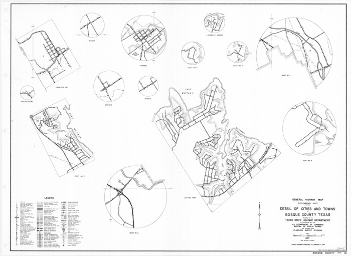

Print $20.00
General Highway Map. Detail of Cities of Towns in Bosque County, Texas
1961
Size 18.2 x 24.9 inches
Map/Doc 79379
General Highway Map, Pecos County, Texas


Print $20.00
General Highway Map, Pecos County, Texas
1940
Size 24.7 x 18.1 inches
Map/Doc 79218
Rand McNally Standard Map of Texas (reverse)


Print $20.00
Rand McNally Standard Map of Texas (reverse)
1923
Size 39.8 x 27.2 inches
Map/Doc 76229
You may also like
Kinney County Working Sketch 43
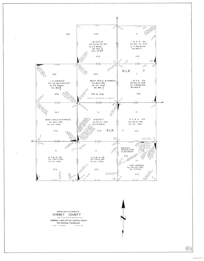

Print $20.00
- Digital $50.00
Kinney County Working Sketch 43
1975
Size 42.9 x 33.5 inches
Map/Doc 70225
Presidio de San Antonio de Bejar y Villa de San Fernando
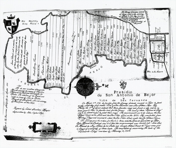

Print $20.00
- Digital $50.00
Presidio de San Antonio de Bejar y Villa de San Fernando
1986
Size 21.8 x 26.0 inches
Map/Doc 87386
Upton County Rolled Sketch 3


Print $20.00
- Digital $50.00
Upton County Rolled Sketch 3
Size 30.3 x 34.1 inches
Map/Doc 8066
Winkler County Working Sketch 14
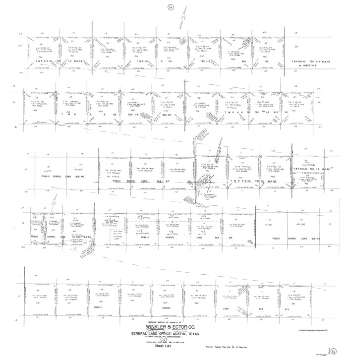

Print $20.00
- Digital $50.00
Winkler County Working Sketch 14
1961
Size 42.9 x 41.4 inches
Map/Doc 72608
Galveston Harbor and Channel, Texas - Rehabilitation of Galveston Groins - Location Plan of Rehabilitation


Print $4.00
- Digital $50.00
Galveston Harbor and Channel, Texas - Rehabilitation of Galveston Groins - Location Plan of Rehabilitation
1968
Size 16.0 x 20.6 inches
Map/Doc 73620
Collingsworth County Working Sketch 5
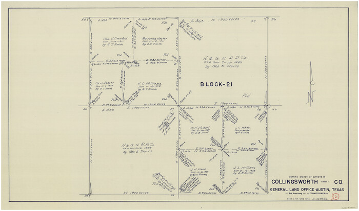

Print $20.00
- Digital $50.00
Collingsworth County Working Sketch 5
1973
Size 22.5 x 38.2 inches
Map/Doc 68093
Wilbarger County Sketch File 19


Print $4.00
- Digital $50.00
Wilbarger County Sketch File 19
1887
Size 14.2 x 8.7 inches
Map/Doc 40215
Baylor County Sketch File 20
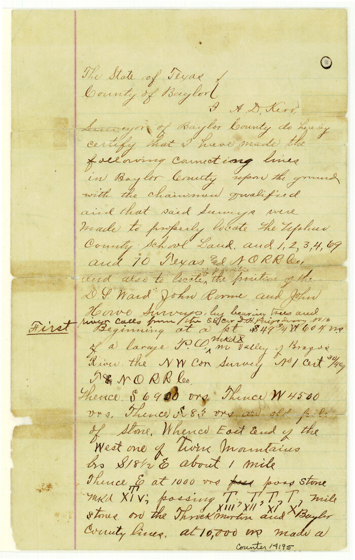

Print $8.00
- Digital $50.00
Baylor County Sketch File 20
1887
Size 12.9 x 8.2 inches
Map/Doc 14195
[Surveys along the Trinity River and below]
![101, [Surveys along the Trinity River and below], General Map Collection](https://historictexasmaps.com/wmedia_w700/maps/101.tif.jpg)
![101, [Surveys along the Trinity River and below], General Map Collection](https://historictexasmaps.com/wmedia_w700/maps/101.tif.jpg)
Print $20.00
- Digital $50.00
[Surveys along the Trinity River and below]
1840
Size 22.6 x 17.6 inches
Map/Doc 101
Goliad County Rolled Sketch 1
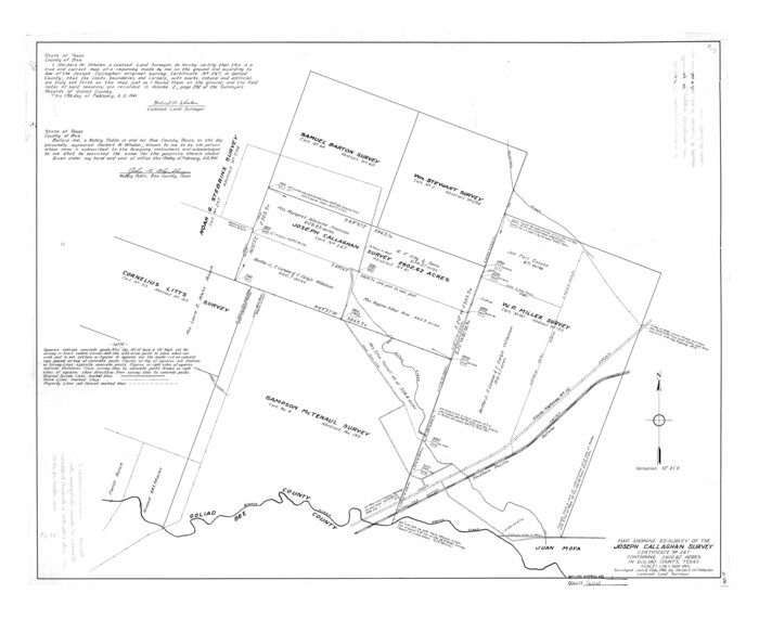

Print $20.00
- Digital $50.00
Goliad County Rolled Sketch 1
1941
Size 31.4 x 38.5 inches
Map/Doc 6023
Reagan County Sketch File 11


Print $20.00
- Digital $50.00
Reagan County Sketch File 11
1928
Size 26.7 x 22.2 inches
Map/Doc 12217
[R. Sikes and Surrounding Surveys]
![91160, [R. Sikes and Surrounding Surveys], Twichell Survey Records](https://historictexasmaps.com/wmedia_w700/maps/91160-1.tif.jpg)
![91160, [R. Sikes and Surrounding Surveys], Twichell Survey Records](https://historictexasmaps.com/wmedia_w700/maps/91160-1.tif.jpg)
Print $20.00
- Digital $50.00
[R. Sikes and Surrounding Surveys]
Size 14.8 x 20.2 inches
Map/Doc 91160
![79508, General Highway Map. Detail of Cities and Towns in Harris County, Texas. City Map [of] Baytown, Morgan's Point, Lomax, and vicinity, Harris County, Texas, Texas State Library and Archives](https://historictexasmaps.com/wmedia_w1800h1800/maps/79508.tif.jpg)
