[Atlas A, Table of Contents, part 2]
Atlas A, Table of Contents, part 2
-
Map/Doc
82085
-
Collection
General Map Collection
-
Subjects
Atlas
-
Height x Width
7.0 x 11.8 inches
17.8 x 30.0 cm
-
Medium
paper, manuscript
-
Comments
Conserved in 2004.
Part of: General Map Collection
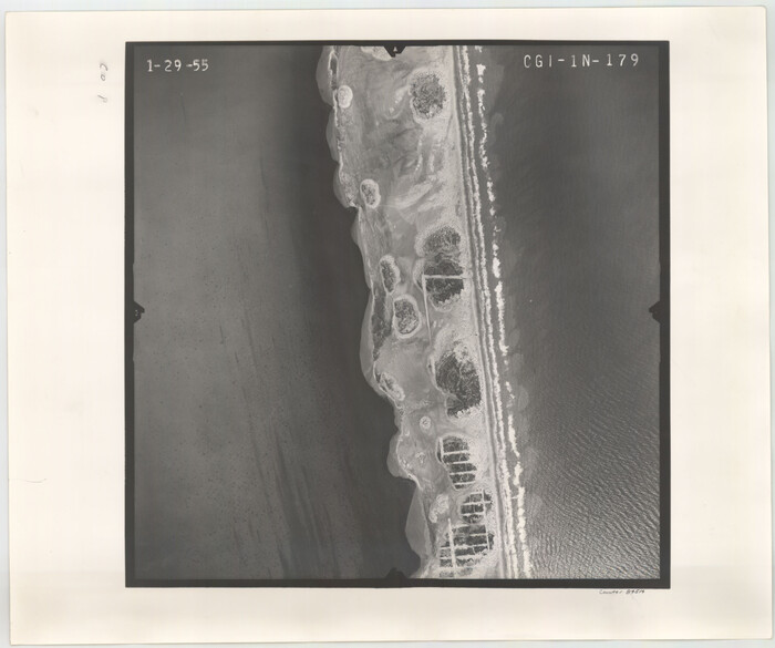
Flight Mission No. CGI-1N, Frame 179, Cameron County

Print $20.00
- Digital $50.00
Flight Mission No. CGI-1N, Frame 179, Cameron County
1955
Size 18.5 x 22.2 inches
Map/Doc 84514
Pecos County Working Sketch 5


Print $20.00
- Digital $50.00
Pecos County Working Sketch 5
1886
Size 22.8 x 19.2 inches
Map/Doc 71475
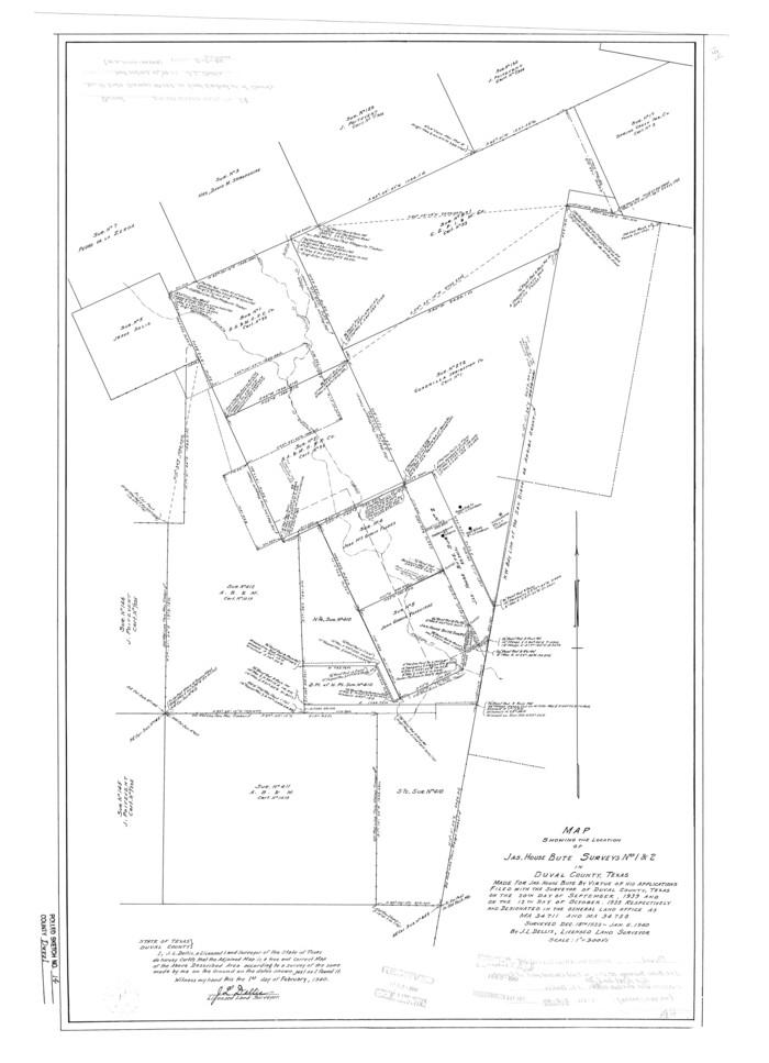
Duval County Rolled Sketch 14

Print $20.00
- Digital $50.00
Duval County Rolled Sketch 14
1940
Size 35.8 x 25.9 inches
Map/Doc 5736
Fannin County Boundary File 1a


Print $40.00
- Digital $50.00
Fannin County Boundary File 1a
1882
Size 36.5 x 9.5 inches
Map/Doc 53279
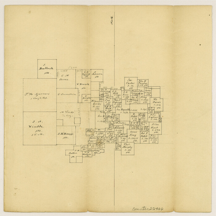
Fannin County Sketch File 15

Print $6.00
- Digital $50.00
Fannin County Sketch File 15
1866
Size 8.2 x 8.2 inches
Map/Doc 22466
Crockett County Working Sketch 55


Print $40.00
- Digital $50.00
Crockett County Working Sketch 55
1951
Size 51.0 x 37.5 inches
Map/Doc 68388
Flight Mission No. BRE-2P, Frame 46, Nueces County

Print $20.00
- Digital $50.00
Flight Mission No. BRE-2P, Frame 46, Nueces County
1956
Size 18.7 x 22.7 inches
Map/Doc 86748
Photo Index of Texas Coast - Sheet 2 of 6


Print $20.00
- Digital $50.00
Photo Index of Texas Coast - Sheet 2 of 6
1954
Size 20.0 x 24.0 inches
Map/Doc 83440
Flight Mission No. CGI-4N, Frame 25, Cameron County


Print $20.00
- Digital $50.00
Flight Mission No. CGI-4N, Frame 25, Cameron County
1954
Size 18.7 x 22.4 inches
Map/Doc 84658
[Surveys along the Guadalupe River and Blanco Creek]
![45, [Surveys along the Guadalupe River and Blanco Creek], General Map Collection](https://historictexasmaps.com/wmedia_w700/maps/45.tif.jpg)
![45, [Surveys along the Guadalupe River and Blanco Creek], General Map Collection](https://historictexasmaps.com/wmedia_w700/maps/45.tif.jpg)
Print $20.00
- Digital $50.00
[Surveys along the Guadalupe River and Blanco Creek]
Size 19.5 x 15.7 inches
Map/Doc 45
Red River County Sketch File 4
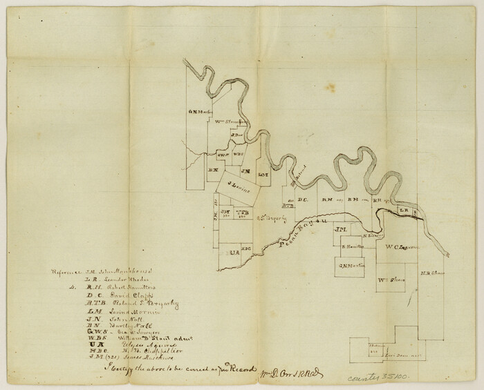

Print $6.00
- Digital $50.00
Red River County Sketch File 4
Size 9.3 x 11.5 inches
Map/Doc 35100
Starr County Sketch File 21


Print $52.00
- Digital $50.00
Starr County Sketch File 21
1912
Size 14.2 x 8.7 inches
Map/Doc 36889
You may also like
Texas Coordinate File 3
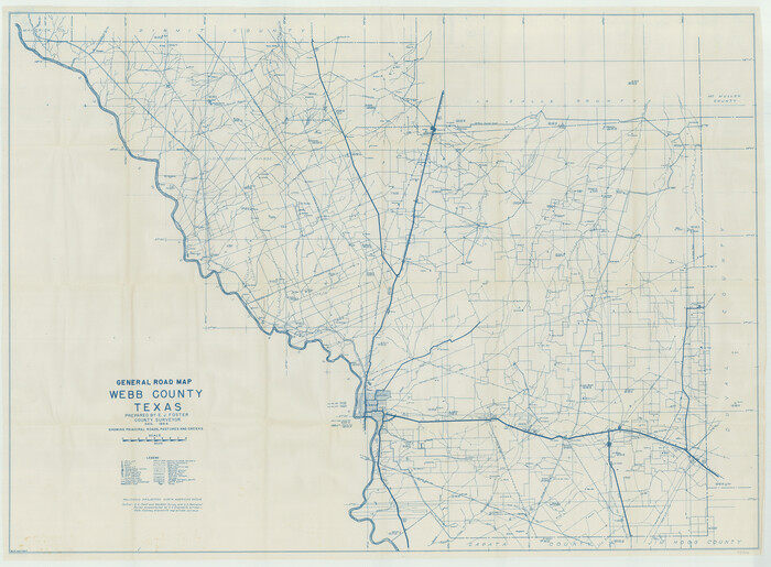

Print $40.00
- Digital $50.00
Texas Coordinate File 3
Size 36.1 x 49.1 inches
Map/Doc 75306
Old Miscellaneous File 16


Print $28.00
- Digital $50.00
Old Miscellaneous File 16
1908
Size 9.8 x 2.6 inches
Map/Doc 75457
Childress County Rolled Sketch 16A
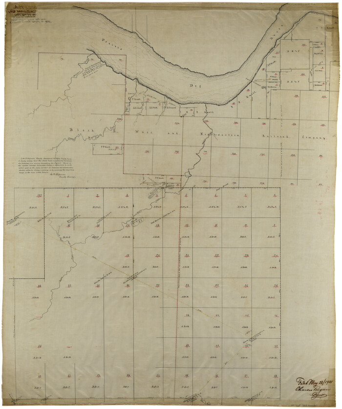

Print $20.00
- Digital $50.00
Childress County Rolled Sketch 16A
Size 44.3 x 36.9 inches
Map/Doc 8599
Burleson County Working Sketch 9
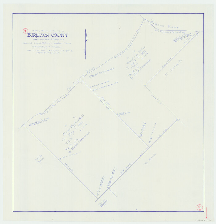

Print $20.00
- Digital $50.00
Burleson County Working Sketch 9
1980
Size 26.2 x 25.2 inches
Map/Doc 67728
King County Boundary File 6


Print $16.00
- Digital $50.00
King County Boundary File 6
Size 9.2 x 6.6 inches
Map/Doc 64927
Eastland County Working Sketch 52
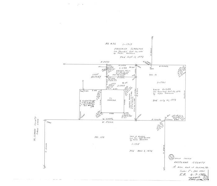

Print $20.00
- Digital $50.00
Eastland County Working Sketch 52
1982
Size 25.7 x 30.0 inches
Map/Doc 68833
Haskell County Rolled Sketch 13


Print $3.00
- Digital $50.00
Haskell County Rolled Sketch 13
1991
Size 11.0 x 17.1 inches
Map/Doc 6171
Abernathy Quadrangle
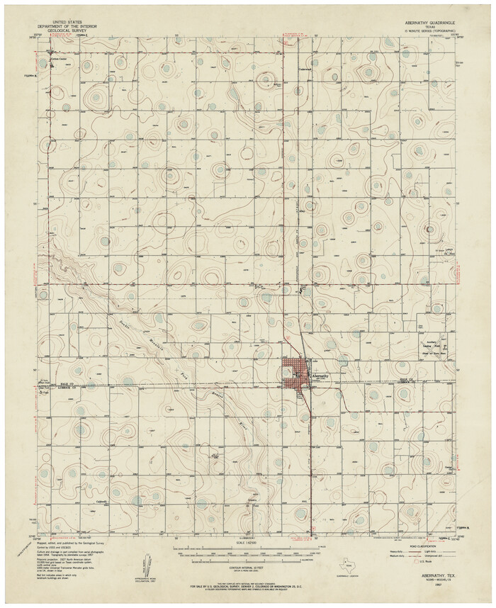

Print $20.00
- Digital $50.00
Abernathy Quadrangle
Size 17.6 x 21.4 inches
Map/Doc 92813
San Saba County


Print $20.00
- Digital $50.00
San Saba County
1918
Size 46.8 x 41.2 inches
Map/Doc 63022
In the Supreme Court of the United States, The State of Oklahoma, Complainant vs. The State of Texas, Defendant, The United States of America, Intervener, Red River Valley, Texas and Oklahoma Between the 98th and 100th Meridians in Five Sheets, 1921
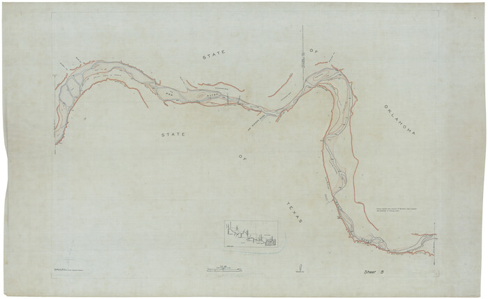

Print $40.00
- Digital $50.00
In the Supreme Court of the United States, The State of Oklahoma, Complainant vs. The State of Texas, Defendant, The United States of America, Intervener, Red River Valley, Texas and Oklahoma Between the 98th and 100th Meridians in Five Sheets, 1921
1921
Size 37.1 x 60.6 inches
Map/Doc 75278
The Latest Map of Texas
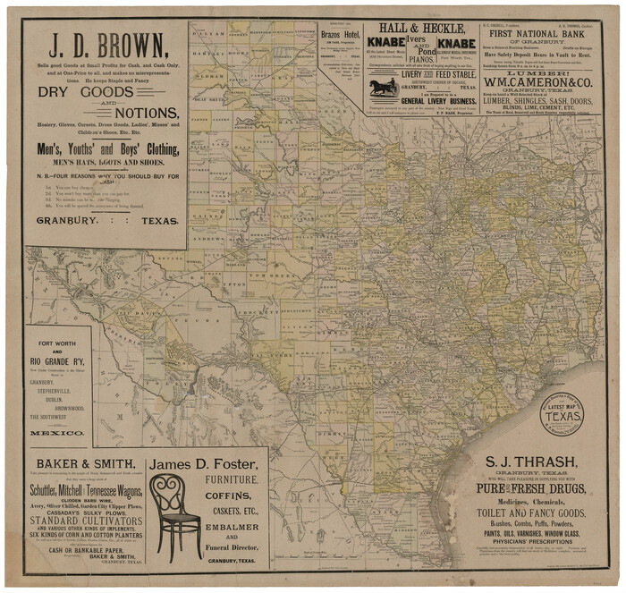

Print $20.00
- Digital $50.00
The Latest Map of Texas
1889
Size 32.0 x 34.0 inches
Map/Doc 93422
Kaufman County Sketch File 15
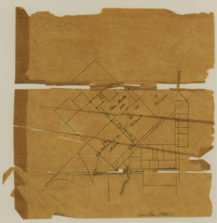

Print $26.00
- Digital $50.00
Kaufman County Sketch File 15
Size 8.5 x 8.2 inches
Map/Doc 28651
![82085, [Atlas A, Table of Contents, part 2], General Map Collection](https://historictexasmaps.com/wmedia_w1800h1800/maps/82085.tif.jpg)