Proceedings of The International (Water) Boundary Commission United States and Mexico Treaties of 1884 and 1889, Volume 1
-
Map/Doc
83146
-
Collection
General Map Collection
-
People and Organizations
United States Department of State (Publisher)
Government Printing Office (Printer)
-
Medium
paper, bound volume
Part of: General Map Collection
Shackelford County Working Sketch 2


Print $20.00
- Digital $50.00
Shackelford County Working Sketch 2
1914
Size 17.2 x 17.3 inches
Map/Doc 63842
Swisher County Sketch File 8


Print $20.00
- Digital $50.00
Swisher County Sketch File 8
1907
Size 19.2 x 16.3 inches
Map/Doc 12405
Shelby County Working Sketch 13


Print $40.00
- Digital $50.00
Shelby County Working Sketch 13
1946
Size 52.0 x 33.7 inches
Map/Doc 63866
Floyd County Sketch File 21


Print $20.00
- Digital $50.00
Floyd County Sketch File 21
1914
Size 30.0 x 23.2 inches
Map/Doc 11486
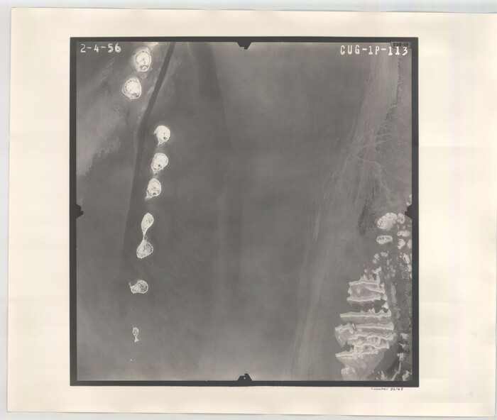
Flight Mission No. CUG-1P, Frame 113, Kleberg County

Print $20.00
- Digital $50.00
Flight Mission No. CUG-1P, Frame 113, Kleberg County
1956
Size 18.8 x 22.2 inches
Map/Doc 86163
Webb County Rolled Sketch 48


Print $20.00
- Digital $50.00
Webb County Rolled Sketch 48
1943
Size 20.1 x 37.3 inches
Map/Doc 8204
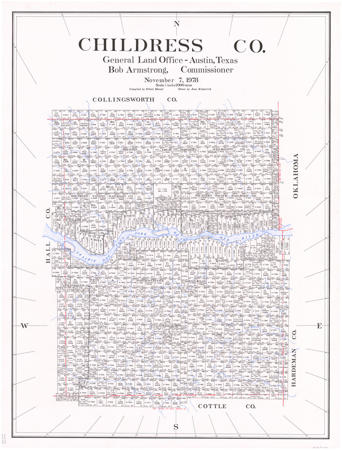
Childress Co.

Print $20.00
- Digital $50.00
Childress Co.
1978
Size 46.2 x 35.0 inches
Map/Doc 73105
Aransas Pass to Baffin Bay


Print $20.00
- Digital $50.00
Aransas Pass to Baffin Bay
1961
Size 42.1 x 35.4 inches
Map/Doc 73414
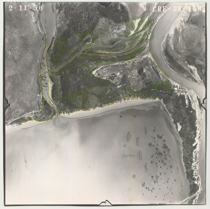
Flight Mission No. CRE-2R, Frame 158, Jackson County

Print $20.00
- Digital $50.00
Flight Mission No. CRE-2R, Frame 158, Jackson County
1956
Size 16.1 x 16.1 inches
Map/Doc 85369
Sketch of 103rd Meridian, W. L. Showing Conflict of Capitol Leagues


Print $40.00
- Digital $50.00
Sketch of 103rd Meridian, W. L. Showing Conflict of Capitol Leagues
Size 26.9 x 85.1 inches
Map/Doc 65505
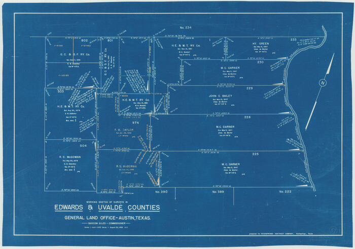
Edwards County Working Sketch 57

Print $20.00
- Digital $50.00
Edwards County Working Sketch 57
1952
Size 22.7 x 32.3 inches
Map/Doc 68933
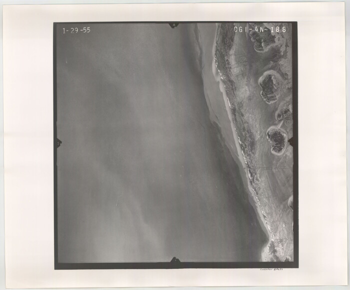
Flight Mission No. CGI-4N, Frame 188, Cameron County

Print $20.00
- Digital $50.00
Flight Mission No. CGI-4N, Frame 188, Cameron County
1955
Size 18.5 x 22.3 inches
Map/Doc 84691
You may also like
[Bastrop District]
![83517, [Bastrop District], General Map Collection](https://historictexasmaps.com/wmedia_w700/maps/83517-1.tif.jpg)
![83517, [Bastrop District], General Map Collection](https://historictexasmaps.com/wmedia_w700/maps/83517-1.tif.jpg)
Print $20.00
- Digital $50.00
[Bastrop District]
1838
Size 25.1 x 46.1 inches
Map/Doc 83517
Tarrant County Sketch File 30

Print $4.00
- Digital $50.00
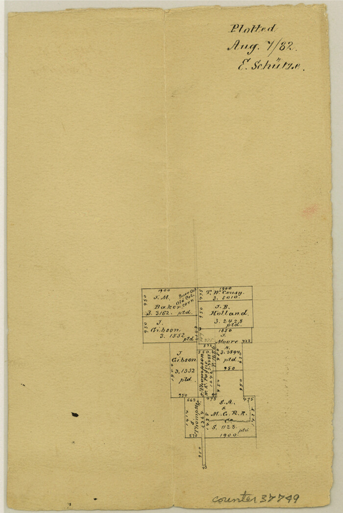
Tarrant County Sketch File 30
1882
Size 8.9 x 5.9 inches
Map/Doc 37749
[Block 36, Township 5N, and Block M]
![90631, [Block 36, Township 5N, and Block M], Twichell Survey Records](https://historictexasmaps.com/wmedia_w700/maps/90631-1.tif.jpg)
![90631, [Block 36, Township 5N, and Block M], Twichell Survey Records](https://historictexasmaps.com/wmedia_w700/maps/90631-1.tif.jpg)
Print $20.00
- Digital $50.00
[Block 36, Township 5N, and Block M]
Size 16.6 x 20.8 inches
Map/Doc 90631
[McK. & Williams No. 601 and surrounding surveys, Travis County]
![10782, [McK. & Williams No. 601 and surrounding surveys, Travis County], Maddox Collection](https://historictexasmaps.com/wmedia_w700/maps/10782.tif.jpg)
![10782, [McK. & Williams No. 601 and surrounding surveys, Travis County], Maddox Collection](https://historictexasmaps.com/wmedia_w700/maps/10782.tif.jpg)
Print $20.00
- Digital $50.00
[McK. & Williams No. 601 and surrounding surveys, Travis County]
Size 18.3 x 12.3 inches
Map/Doc 10782
Martin County Sketch File 7


Print $20.00
- Digital $50.00
Martin County Sketch File 7
Size 20.0 x 13.9 inches
Map/Doc 12028
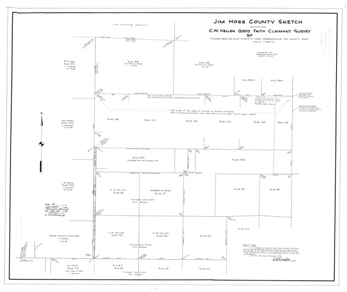
Jim Hogg County Rolled Sketch 8

Print $20.00
- Digital $50.00
Jim Hogg County Rolled Sketch 8
1956
Size 32.1 x 38.2 inches
Map/Doc 9323
Pecos County Rolled Sketch 26A


Print $40.00
- Digital $50.00
Pecos County Rolled Sketch 26A
1890
Size 19.0 x 55.5 inches
Map/Doc 75934
The Texas Co-Ordinate System, Title 86 Art. 5300A


Print $20.00
- Digital $50.00
The Texas Co-Ordinate System, Title 86 Art. 5300A
1943
Size 27.7 x 30.3 inches
Map/Doc 3122
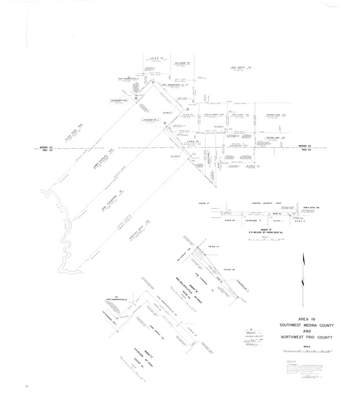
Medina County Rolled Sketch 5

Print $40.00
- Digital $50.00
Medina County Rolled Sketch 5
1948
Size 52.0 x 47.1 inches
Map/Doc 9505
Dawson County Sketch File 26
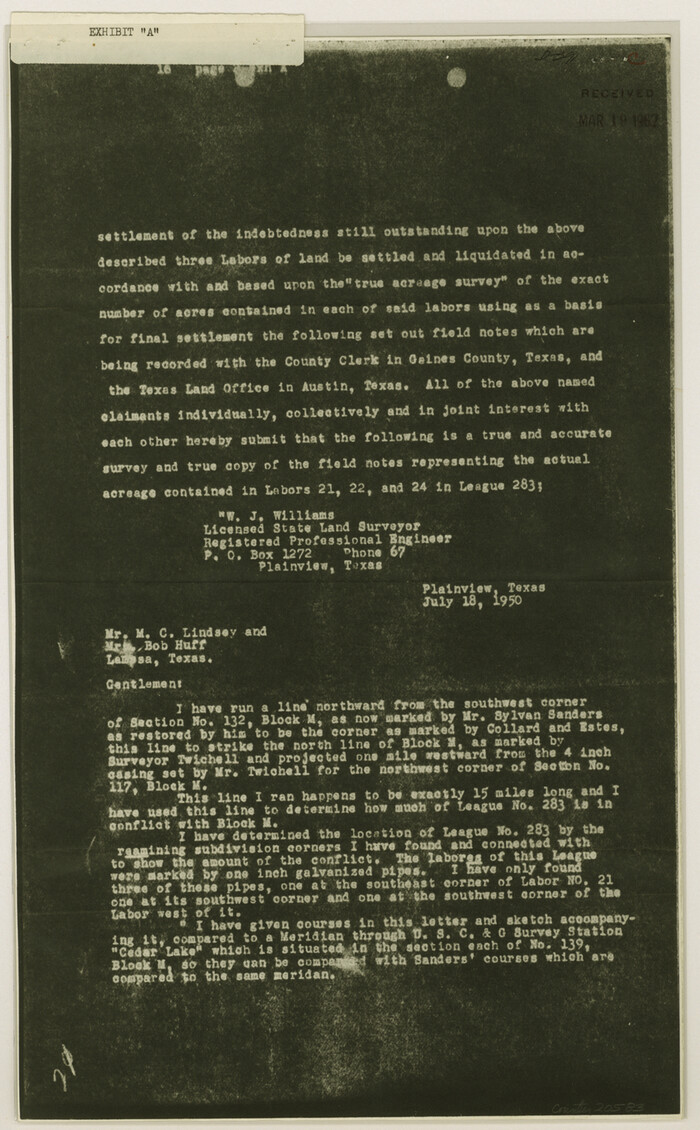

Print $10.00
- Digital $50.00
Dawson County Sketch File 26
Size 14.7 x 9.1 inches
Map/Doc 20583
Hale County Rolled Sketch 10


Print $40.00
- Digital $50.00
Hale County Rolled Sketch 10
Size 52.4 x 28.3 inches
Map/Doc 76447

