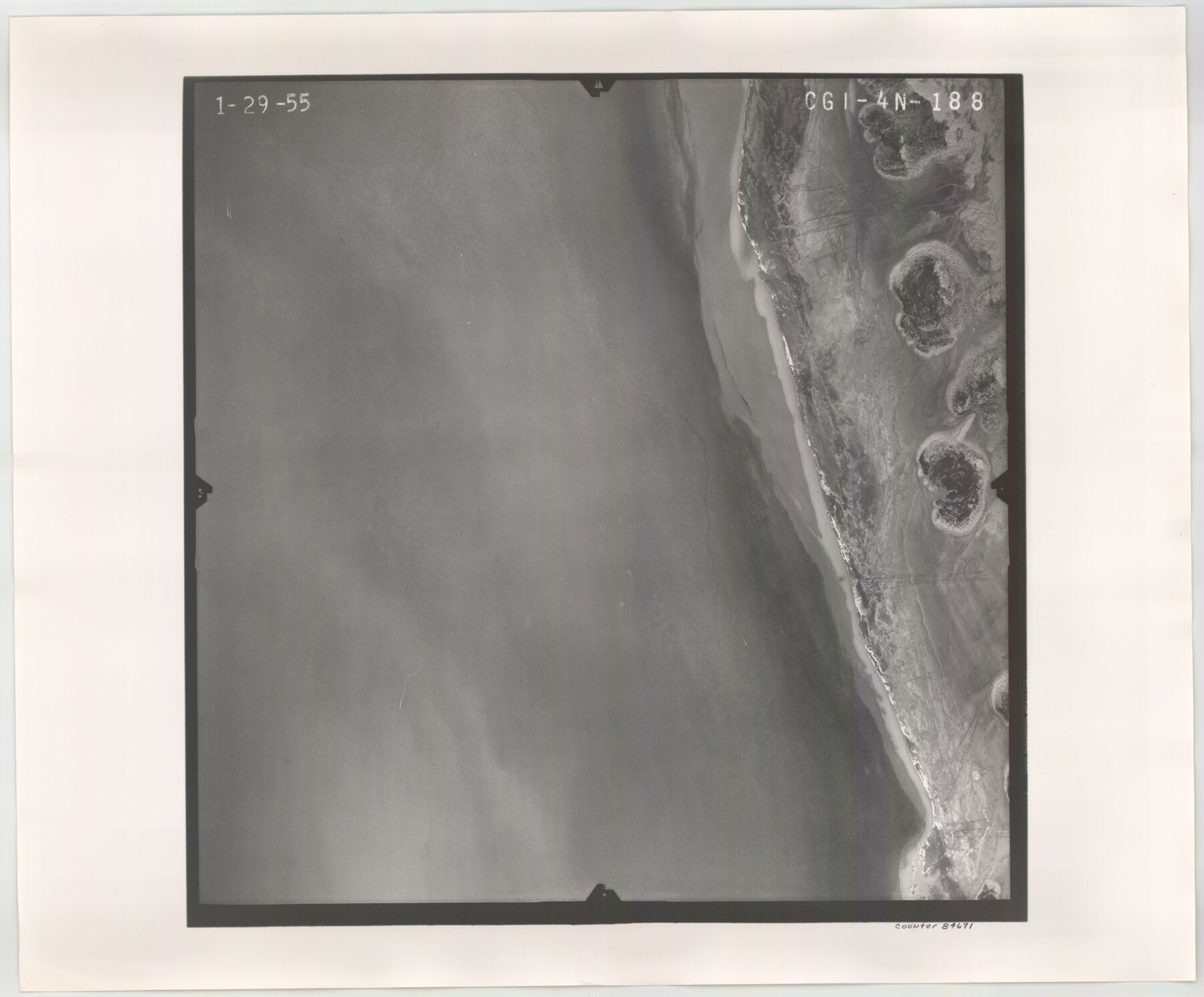
Flight Mission No. CGI-4N, Frame 188, Cameron County
CGI-4N-188
-
Map/Doc
84691
-
Collection
General Map Collection
-
Object Dates
1955/1/29 (Creation Date)
-
People and Organizations
U. S. Department of Agriculture (Publisher)
-
Counties
Cameron
-
Subjects
Aerial Photograph
-
Height x Width
18.5 x 22.3 inches
47.0 x 56.6 cm
-
Comments
Flown by Puckett Aerial Surveys, Inc. of Jackson, Mississippi.
Part of: General Map Collection
Flight Mission No. DAH-17M, Frame 19, Orange County

Print $20.00
- Digital $50.00
Flight Mission No. DAH-17M, Frame 19, Orange County
1953
Size 18.6 x 22.6 inches
Map/Doc 86882
Val Verde County Working Sketch 105

Print $20.00
- Digital $50.00
Val Verde County Working Sketch 105
1983
Size 39.8 x 43.0 inches
Map/Doc 72240
The great railroad routes to the Pacific, and their connections

Print $20.00
- Digital $50.00
The great railroad routes to the Pacific, and their connections
1869
Size 16.3 x 29.4 inches
Map/Doc 96974
Guadalupe County Working Sketch 2

Print $20.00
- Digital $50.00
Guadalupe County Working Sketch 2
1925
Size 37.2 x 19.2 inches
Map/Doc 63311
Jackson County Rolled Sketch 14

Print $20.00
- Digital $50.00
Jackson County Rolled Sketch 14
1978
Size 28.3 x 37.0 inches
Map/Doc 6345
Navigation Maps of Gulf Intracoastal Waterway, Port Arthur to Brownsville, Texas

Print $4.00
- Digital $50.00
Navigation Maps of Gulf Intracoastal Waterway, Port Arthur to Brownsville, Texas
1951
Size 16.5 x 21.1 inches
Map/Doc 65435
Edwards County Working Sketch 133

Print $20.00
- Digital $50.00
Edwards County Working Sketch 133
1985
Size 29.7 x 38.9 inches
Map/Doc 69009
Montgomery County Working Sketch 68

Print $20.00
- Digital $50.00
Montgomery County Working Sketch 68
1972
Size 25.9 x 33.7 inches
Map/Doc 71175
Flight Mission No. CGI-4N, Frame 25, Cameron County

Print $20.00
- Digital $50.00
Flight Mission No. CGI-4N, Frame 25, Cameron County
1954
Size 18.7 x 22.4 inches
Map/Doc 84658
Terrell County Working Sketch 8a

Print $20.00
- Digital $50.00
Terrell County Working Sketch 8a
1917
Size 14.5 x 19.4 inches
Map/Doc 62157
Zapata County Sketch File 6

Print $22.00
- Digital $50.00
Zapata County Sketch File 6
1913
Size 22.1 x 32.7 inches
Map/Doc 12720
Galveston/Galveston Island, Texas

Galveston/Galveston Island, Texas
Size 18.4 x 24.3 inches
Map/Doc 94346
You may also like
Denton County Sketch File 36a

Print $6.00
- Digital $50.00
Denton County Sketch File 36a
1898
Size 11.3 x 9.1 inches
Map/Doc 20773

Presidio County Rolled Sketch 71

Print $20.00
- Digital $50.00
Presidio County Rolled Sketch 71
1941
Size 31.7 x 42.9 inches
Map/Doc 7361
Lampasas County Sketch File 19

Print $4.00
- Digital $50.00
Lampasas County Sketch File 19
1888
Size 10.3 x 8.2 inches
Map/Doc 29432
General Highway Map, Burnet County, Texas

Print $20.00
General Highway Map, Burnet County, Texas
1961
Size 18.0 x 24.6 inches
Map/Doc 79392
[Surveys in Vehlein's Colony along Long King's Creek]
![83, [Surveys in Vehlein's Colony along Long King's Creek], General Map Collection](https://historictexasmaps.com/wmedia_w700/maps/83.tif.jpg)
Print $20.00
- Digital $50.00
[Surveys in Vehlein's Colony along Long King's Creek]
Size 13.3 x 19.0 inches
Map/Doc 83
Coleman County Sketch File 31

Print $20.00
- Digital $50.00
Coleman County Sketch File 31
Size 31.2 x 41.9 inches
Map/Doc 10339
Map of Presidio County

Print $40.00
- Digital $50.00
Map of Presidio County
1895
Size 53.0 x 38.6 inches
Map/Doc 3968

Gray's New Map of Texas and the Indian Territory

Print $20.00
- Digital $50.00
Gray's New Map of Texas and the Indian Territory
1876
Size 17.4 x 27.7 inches
Map/Doc 93786
Denton County Sketch File 4

Print $6.00
- Digital $50.00
Denton County Sketch File 4
1858
Size 12.2 x 7.9 inches
Map/Doc 20690
Descripción y Mapa de la Nueva Provincia, poblada de Bárbaros, situada en la Costa del Seno Mexicano, desde el puerto de Tampico hasta la Provincia de Texas

Descripción y Mapa de la Nueva Provincia, poblada de Bárbaros, situada en la Costa del Seno Mexicano, desde el puerto de Tampico hasta la Provincia de Texas
1744
Size 32.0 x 29.1 inches
Map/Doc 94558