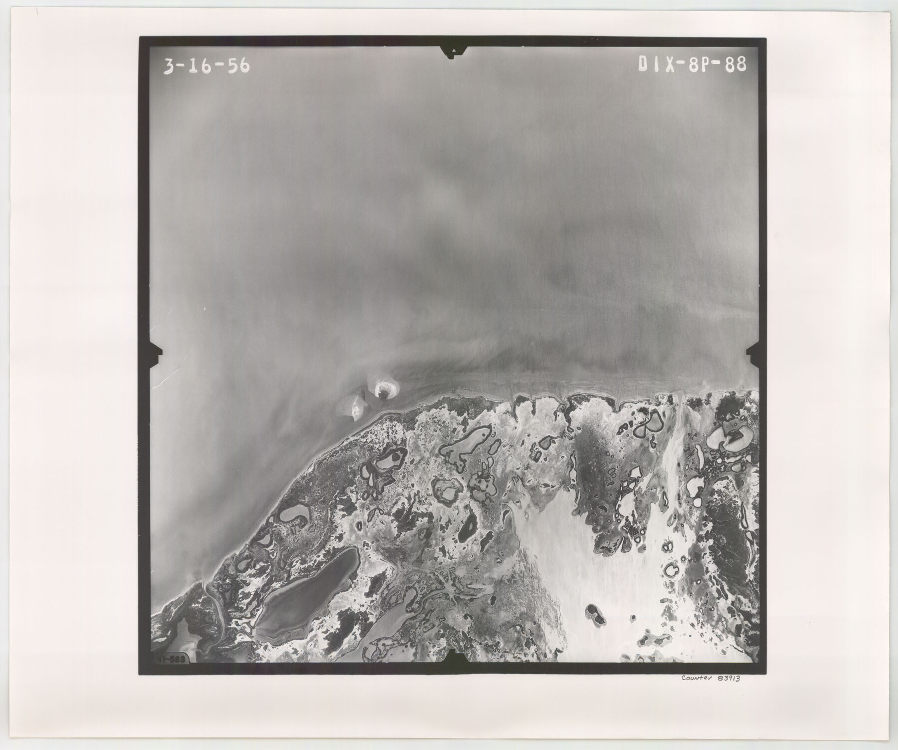
Flight Mission No. DIX-8P, Frame 88, Aransas County
DIX-8P-88
-
Map/Doc
83913
-
Collection
General Map Collection
-
Object Dates
1956/3/16 (Creation Date)
-
People and Organizations
U. S. Department of Agriculture (Publisher)
-
Counties
Aransas
-
Subjects
Aerial Photograph
-
Height x Width
18.6 x 22.3 inches
47.2 x 56.6 cm
-
Comments
Flown by V. L. Beavers and Associates of San Antonio, Texas.
Part of: General Map Collection
Mills County Working Sketch 11

Print $20.00
- Digital $50.00
Mills County Working Sketch 11
1930
Size 22.5 x 14.4 inches
Map/Doc 71041
Kimble County Working Sketch 58

Print $20.00
- Digital $50.00
Kimble County Working Sketch 58
1959
Size 12.8 x 26.4 inches
Map/Doc 70126
Map showing the Distribution of Slaves in the Southern States

Print $20.00
- Digital $50.00
Map showing the Distribution of Slaves in the Southern States
1861
Size 15.2 x 18.3 inches
Map/Doc 96634
Presidio County Working Sketch 87

Print $20.00
- Digital $50.00
Presidio County Working Sketch 87
1971
Size 37.6 x 37.9 inches
Map/Doc 71764
Upshur County Working Sketch 16, revised

Print $20.00
- Digital $50.00
Upshur County Working Sketch 16, revised
1997
Size 42.9 x 37.2 inches
Map/Doc 69574
Flight Mission No. CRK-3P, Frame 69, Refugio County

Print $20.00
- Digital $50.00
Flight Mission No. CRK-3P, Frame 69, Refugio County
1956
Size 18.5 x 22.2 inches
Map/Doc 86911
Cass County Sketch File 12

Print $4.00
- Digital $50.00
Cass County Sketch File 12
1851
Size 8.2 x 12.3 inches
Map/Doc 17414
Brewster County Rolled Sketch 61

Print $40.00
- Digital $50.00
Brewster County Rolled Sketch 61
1939
Size 43.7 x 70.3 inches
Map/Doc 8486
Nueces County Rolled Sketch 51B

Print $20.00
- Digital $50.00
Nueces County Rolled Sketch 51B
Size 17.6 x 16.0 inches
Map/Doc 6891
Red River County Working Sketch 79

Print $40.00
- Digital $50.00
Red River County Working Sketch 79
1986
Size 43.8 x 61.1 inches
Map/Doc 72062
Tarrant County Working Sketch 3

Print $20.00
- Digital $50.00
Tarrant County Working Sketch 3
1948
Size 26.3 x 24.9 inches
Map/Doc 62420
Deaf Smith County Sketch File D

Print $20.00
- Digital $50.00
Deaf Smith County Sketch File D
Size 12.6 x 27.7 inches
Map/Doc 11306
You may also like
D. B. Gardner vs. Mrs. Clara C. Starr

Print $20.00
- Digital $50.00
D. B. Gardner vs. Mrs. Clara C. Starr
Size 16.7 x 28.8 inches
Map/Doc 92149
Flight Mission No. DQN-6K, Frame 88, Calhoun County

Print $20.00
- Digital $50.00
Flight Mission No. DQN-6K, Frame 88, Calhoun County
1953
Size 18.7 x 22.3 inches
Map/Doc 84448
Township No. 5 South Range No. 15 West, Indian Meridian, Oklahoma

Print $4.00
- Digital $50.00
Township No. 5 South Range No. 15 West, Indian Meridian, Oklahoma
1927
Size 18.2 x 23.9 inches
Map/Doc 75136
[Map of Lubbock showing Sears Addition, Sunset Place, Loma Linda Place, University Place, Webb Addition, Ellwood Place, Del Mar Addition and Del Mar Annex]
![92729, [Map of Lubbock showing Sears Addition, Sunset Place, Loma Linda Place, University Place, Webb Addition, Ellwood Place, Del Mar Addition and Del Mar Annex], Twichell Survey Records](https://historictexasmaps.com/wmedia_w700/maps/92729-1.tif.jpg)
Print $20.00
- Digital $50.00
[Map of Lubbock showing Sears Addition, Sunset Place, Loma Linda Place, University Place, Webb Addition, Ellwood Place, Del Mar Addition and Del Mar Annex]
Size 30.8 x 30.8 inches
Map/Doc 92729
Presidio County Sketch File C

Print $40.00
- Digital $50.00
Presidio County Sketch File C
Size 12.9 x 12.2 inches
Map/Doc 34426
McCulloch County Rolled Sketch 8

Print $40.00
- Digital $50.00
McCulloch County Rolled Sketch 8
1982
Size 51.3 x 31.4 inches
Map/Doc 10292
[Maps of surveys in Reeves & Culberson Cos]
![61145, [Maps of surveys in Reeves & Culberson Cos], General Map Collection](https://historictexasmaps.com/wmedia_w700/maps/61145.tif.jpg)
Print $20.00
- Digital $50.00
[Maps of surveys in Reeves & Culberson Cos]
1937
Size 30.8 x 25.0 inches
Map/Doc 61145
Map of Bexar County

Print $20.00
- Digital $50.00
Map of Bexar County
1878
Size 24.5 x 27.6 inches
Map/Doc 3298
Map of Kimble County

Print $40.00
- Digital $50.00
Map of Kimble County
1890
Size 36.1 x 54.4 inches
Map/Doc 78436
Real County Rolled Sketch 17

Print $20.00
- Digital $50.00
Real County Rolled Sketch 17
1906
Size 25.1 x 28.8 inches
Map/Doc 7459
Subdivision of Kent County School Land, Dawson and Martin Counties, Texas

Print $20.00
- Digital $50.00
Subdivision of Kent County School Land, Dawson and Martin Counties, Texas
Size 24.5 x 27.3 inches
Map/Doc 92625
[L.C. Ferguson Survey, Irion County]
![537, [L.C. Ferguson Survey, Irion County], Maddox Collection](https://historictexasmaps.com/wmedia_w700/maps/0537.tif.jpg)
Print $3.00
- Digital $50.00
[L.C. Ferguson Survey, Irion County]
Size 11.8 x 12.3 inches
Map/Doc 537