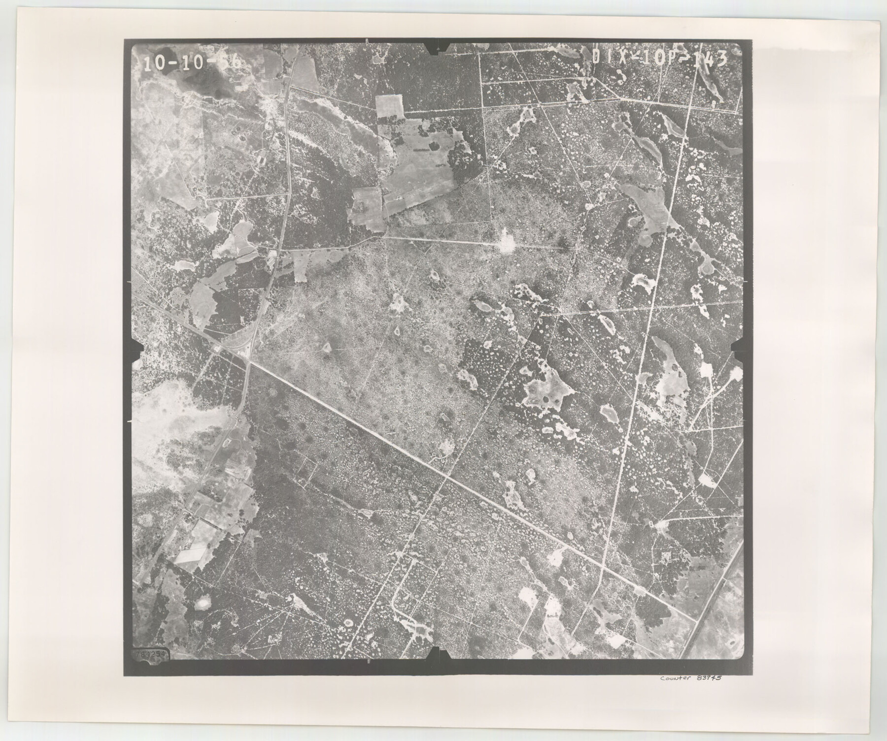
Flight Mission No. DIX-10P, Frame 143, Aransas County
DIX-10P-143
-
Map/Doc
83945
-
Collection
General Map Collection
-
Object Dates
1956/10/10 (Creation Date)
-
People and Organizations
U. S. Department of Agriculture (Publisher)
-
Counties
Aransas
-
Subjects
Aerial Photograph
-
Height x Width
18.8 x 22.5 inches
47.8 x 57.2 cm
-
Comments
Flown by V. L. Beavers and Associates of San Antonio, Texas.
Part of: General Map Collection
Wise County Working Sketch 12

Print $20.00
- Digital $50.00
Wise County Working Sketch 12
1958
Size 23.0 x 29.6 inches
Map/Doc 72626
Maps of Gulf Intracoastal Waterway, Texas - Sabine River to the Rio Grande and connecting waterways including ship channels

Print $20.00
- Digital $50.00
Maps of Gulf Intracoastal Waterway, Texas - Sabine River to the Rio Grande and connecting waterways including ship channels
1966
Size 14.6 x 20.8 inches
Map/Doc 61995
Harris County Sketch File A1

Print $20.00
- Digital $50.00
Harris County Sketch File A1
Size 12.3 x 15.2 inches
Map/Doc 25308
Culberson County Working Sketch 23a

Print $20.00
- Digital $50.00
Culberson County Working Sketch 23a
1947
Size 32.1 x 46.4 inches
Map/Doc 68475
Flight Mission No. BRE-1P, Frame 115, Nueces County

Print $20.00
- Digital $50.00
Flight Mission No. BRE-1P, Frame 115, Nueces County
1956
Size 18.4 x 22.2 inches
Map/Doc 86681
Comanche County Working Sketch 16

Print $20.00
- Digital $50.00
Comanche County Working Sketch 16
1969
Size 16.5 x 23.8 inches
Map/Doc 68150
Childress County Sketch File 14

Print $12.00
- Digital $50.00
Childress County Sketch File 14
1896
Size 9.8 x 6.3 inches
Map/Doc 18272
Trinity River, Barnett Crossing Sheet/Brushy and Kings Creek

Print $20.00
- Digital $50.00
Trinity River, Barnett Crossing Sheet/Brushy and Kings Creek
1927
Size 41.3 x 30.2 inches
Map/Doc 65221
Cottle County Sketch File 13

Print $20.00
- Digital $50.00
Cottle County Sketch File 13
1904
Size 15.8 x 15.8 inches
Map/Doc 11195
Hutchinson County Rolled Sketch 43

Print $40.00
- Digital $50.00
Hutchinson County Rolled Sketch 43
1992
Size 38.0 x 49.4 inches
Map/Doc 6311

Pecos County Rolled Sketch DK4

Print $20.00
- Digital $50.00
Pecos County Rolled Sketch DK4
Size 41.2 x 30.2 inches
Map/Doc 7309
You may also like
Controlled Mosaic by Jack Amman Photogrammetric Engineers, Inc - Sheet 57

Print $20.00
- Digital $50.00
Controlled Mosaic by Jack Amman Photogrammetric Engineers, Inc - Sheet 57
1954
Size 20.0 x 24.0 inches
Map/Doc 83516
Atascosa County Sketch File 29

Print $40.00
- Digital $50.00
Atascosa County Sketch File 29
Size 23.7 x 12.9 inches
Map/Doc 10863
[West line of B. & B. Block 1]
![90584, [West line of B. & B. Block 1], Twichell Survey Records](https://historictexasmaps.com/wmedia_w700/maps/90584-1.tif.jpg)
Print $20.00
- Digital $50.00
[West line of B. & B. Block 1]
Size 12.7 x 15.2 inches
Map/Doc 90584
Loving County Working Sketch Graphic Index

Print $20.00
- Digital $50.00
Loving County Working Sketch Graphic Index
1932
Size 36.8 x 46.8 inches
Map/Doc 76625
Brewster County Rolled Sketch 22D

Print $20.00
- Digital $50.00
Brewster County Rolled Sketch 22D
1910
Size 32.3 x 24.9 inches
Map/Doc 5205
Dallas County Boundary File 9

Print $6.00
- Digital $50.00
Dallas County Boundary File 9
2008
Map/Doc 88850
Freestone County Sketch File 2

Print $12.00
- Digital $50.00
Freestone County Sketch File 2
1849
Size 13.0 x 8.1 inches
Map/Doc 23037
Tom Green County Rolled Sketch 9

Print $20.00
- Digital $50.00
Tom Green County Rolled Sketch 9
1949
Size 32.2 x 41.0 inches
Map/Doc 9999
Harrison County Working Sketch 8

Print $20.00
- Digital $50.00
Harrison County Working Sketch 8
1956
Size 20.6 x 30.5 inches
Map/Doc 66028
Tarrant County Boundary File 82

Print $22.00
- Digital $50.00
Tarrant County Boundary File 82
Size 8.9 x 7.0 inches
Map/Doc 59173
Concho County

Print $40.00
- Digital $50.00
Concho County
1947
Size 48.1 x 37.3 inches
Map/Doc 95464
Flight Mission No. CRC-3R, Frame 197, Chambers County

Print $20.00
- Digital $50.00
Flight Mission No. CRC-3R, Frame 197, Chambers County
1956
Size 18.5 x 22.3 inches
Map/Doc 84852