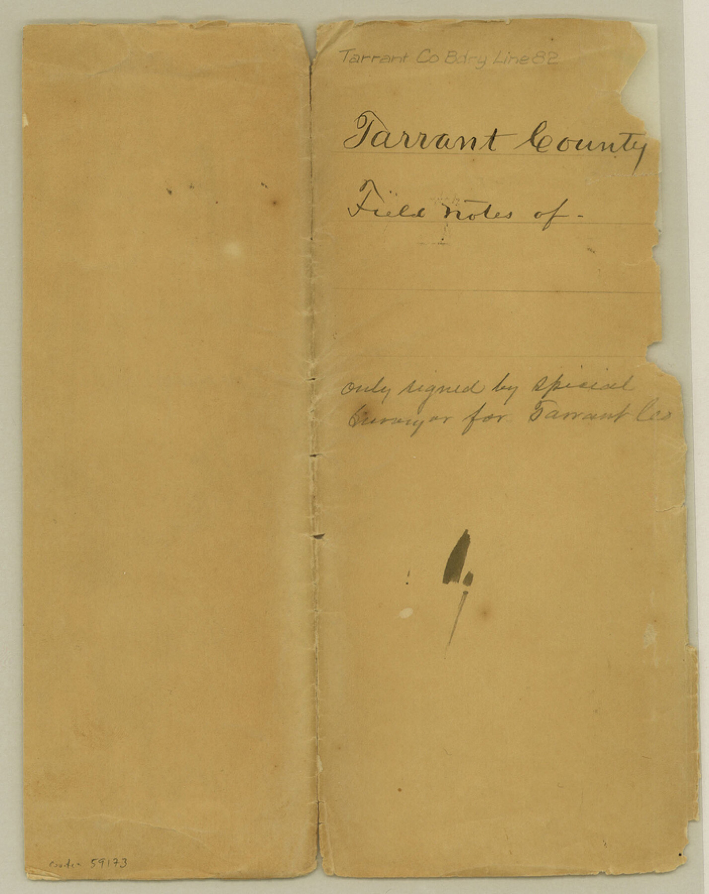
Tarrant County Boundary File 82
Field notes of Tarrant County
-
Map/Doc
59173
-
Collection
General Map Collection
-
Counties
Tarrant
-
Subjects
County Boundaries
-
Height x Width
8.9 x 7.0 inches
22.6 x 17.8 cm
Part of: General Map Collection
Taylor County Rolled Sketch 30B

Print $20.00
- Digital $50.00
Taylor County Rolled Sketch 30B
Size 17.5 x 11.6 inches
Map/Doc 76411
Hopkins County Sketch File 10

Print $4.00
- Digital $50.00
Hopkins County Sketch File 10
1856
Size 9.1 x 8.2 inches
Map/Doc 26700
Blanco County Sketch File 2

Print $5.00
- Digital $50.00
Blanco County Sketch File 2
Size 10.3 x 8.5 inches
Map/Doc 14580
Red River County Working Sketch 8

Print $20.00
- Digital $50.00
Red River County Working Sketch 8
1920
Size 16.2 x 14.2 inches
Map/Doc 71991
Brazoria County Working Sketch 50a

Print $20.00
- Digital $50.00
Brazoria County Working Sketch 50a
2003
Size 35.0 x 35.2 inches
Map/Doc 78344
Bowie County Rolled Sketch 2

Print $40.00
- Digital $50.00
Bowie County Rolled Sketch 2
Size 37.8 x 51.3 inches
Map/Doc 8454
Chambers County Sketch File 8

Print $4.00
- Digital $50.00
Chambers County Sketch File 8
Size 8.0 x 10.7 inches
Map/Doc 17544
Cottle County Working Sketch 22

Print $40.00
- Digital $50.00
Cottle County Working Sketch 22
1982
Size 44.0 x 75.0 inches
Map/Doc 68332
Map of the State of Texas from the most recent authorities

Print $20.00
- Digital $50.00
Map of the State of Texas from the most recent authorities
1850
Size 13.8 x 17.3 inches
Map/Doc 89251
[Surveys along Meridian Creek]
![242, [Surveys along Meridian Creek], General Map Collection](https://historictexasmaps.com/wmedia_w700/maps/242.tif.jpg)
Print $2.00
- Digital $50.00
[Surveys along Meridian Creek]
1846
Size 6.4 x 7.7 inches
Map/Doc 242
Intracoastal Waterway in Texas - Corpus Christi to Point Isabel including Arroyo Colorado to Mo. Pac. R.R. Bridge Near Harlingen

Print $20.00
- Digital $50.00
Intracoastal Waterway in Texas - Corpus Christi to Point Isabel including Arroyo Colorado to Mo. Pac. R.R. Bridge Near Harlingen
1933
Size 27.5 x 40.6 inches
Map/Doc 61869
Liberty County Sketch File 5b

Print $6.00
- Digital $50.00
Liberty County Sketch File 5b
1857
Size 8.0 x 3.5 inches
Map/Doc 29890
You may also like
Johnson County Sketch File 22

Print $20.00
- Digital $50.00
Johnson County Sketch File 22
1873
Size 18.8 x 16.2 inches
Map/Doc 11891
The Republic County of Jasper. January 29, 1842

Print $20.00
The Republic County of Jasper. January 29, 1842
2020
Size 19.5 x 21.7 inches
Map/Doc 96194
Flight Mission No. DAH-17M, Frame 30, Orange County

Print $20.00
- Digital $50.00
Flight Mission No. DAH-17M, Frame 30, Orange County
1953
Size 18.7 x 22.5 inches
Map/Doc 86893
Trinity County Working Sketch Graphic Index

Print $20.00
- Digital $50.00
Trinity County Working Sketch Graphic Index
1946
Size 41.3 x 41.6 inches
Map/Doc 76718
[Surveys in the Milam District on Bosque River and Spring Creek]
![3170, [Surveys in the Milam District on Bosque River and Spring Creek], General Map Collection](https://historictexasmaps.com/wmedia_w700/maps/3170.tif.jpg)
Print $20.00
- Digital $50.00
[Surveys in the Milam District on Bosque River and Spring Creek]
1846
Size 13.3 x 14.7 inches
Map/Doc 3170
Howard County

Print $20.00
- Digital $50.00
Howard County
1922
Size 40.3 x 34.6 inches
Map/Doc 77318
Cottle County Working Sketch 20

Print $20.00
- Digital $50.00
Cottle County Working Sketch 20
1982
Size 19.9 x 37.0 inches
Map/Doc 68330
Reeves County Working Sketch 58

Print $20.00
- Digital $50.00
Reeves County Working Sketch 58
1980
Size 32.3 x 25.3 inches
Map/Doc 63501
Aransas County Rolled Sketch 16

Print $40.00
- Digital $50.00
Aransas County Rolled Sketch 16
1965
Size 44.1 x 92.5 inches
Map/Doc 8412
Gaines County Working Sketch 6

Print $20.00
- Digital $50.00
Gaines County Working Sketch 6
1940
Size 25.0 x 40.8 inches
Map/Doc 69306
Kent County Working Sketch 16

Print $20.00
- Digital $50.00
Kent County Working Sketch 16
1972
Size 32.4 x 31.5 inches
Map/Doc 70023
Loving County Rolled Sketch 10

Print $20.00
- Digital $50.00
Loving County Rolled Sketch 10
1990
Size 32.0 x 43.6 inches
Map/Doc 9468