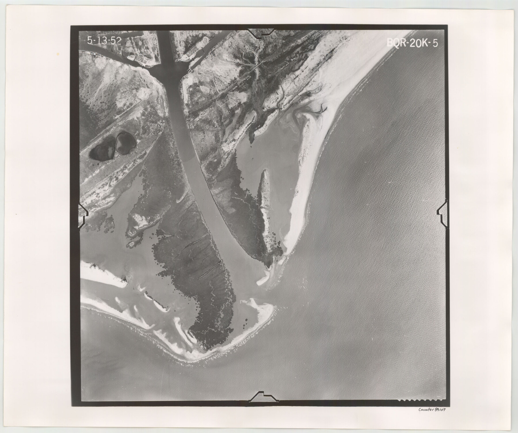
Flight Mission No. BQR-20K, Frame 5, Brazoria County
BQR-20K-5
- 
                          Map/Doc84107
- 
                            CollectionGeneral Map Collection
- 
                            Object Dates1952/5/13 (Creation Date)
- 
                            People and OrganizationsU. S. Department of Agriculture (Publisher)
- 
                            CountiesBrazoria
- 
                            SubjectsAerial Photograph
- 
                            Height x Width18.6 x 22.3 inches47.2 x 56.6 cm
- 
                            CommentsFlown by Aero Exploration Company of Tulsa, Oklahoma.
Part of: General Map Collection
            Right of Way Location Map, San Antonio & Aransas Pass, Station 656…


                                            Print $4.00                    
                                             -                         Digital $50.00                                    
                Right of Way Location Map, San Antonio & Aransas Pass, Station 656…
1919
Size 11.8 x 18.6 inches
                                Map/Doc 62567
            
            Hutchinson County Working Sketch 39


                                            Print $20.00                    
                                             -                         Digital $50.00                                    
                Hutchinson County Working Sketch 39
1978
Size 27.4 x 23.2 inches
                                Map/Doc 66399
            
            Kleberg County Boundary File 2b


                                            Print $20.00                    
                                             -                         Digital $50.00                                    
                Kleberg County Boundary File 2b
Size 8.0 x 28.9 inches
                                Map/Doc 64978
            
            Refugio County Working Sketch 16


                                            Print $20.00                    
                                             -                         Digital $50.00                                    
                Refugio County Working Sketch 16
1965
Size 34.0 x 31.8 inches
                                Map/Doc 63525
            
            Hays County Sketch File 22


                                            Print $4.00                    
                                             -                         Digital $50.00                                    
                Hays County Sketch File 22
Size 8.4 x 7.3 inches
                                Map/Doc 26249
            
            Flight Mission No. BRA-6M, Frame 95, Jefferson County


                                            Print $20.00                    
                                             -                         Digital $50.00                                    
                Flight Mission No. BRA-6M, Frame 95, Jefferson County
1953
Size 18.5 x 22.2 inches
                                Map/Doc 85438
            
            Liberty County Sketch File 25


                                            Print $8.00                    
                                             -                         Digital $50.00                                    
                Liberty County Sketch File 25
1861
Size 8.0 x 10.0 inches
                                Map/Doc 29939
            
            Polk County Boundary File 70a


                                            Print $40.00                    
                                             -                         Digital $50.00                                    
                Polk County Boundary File 70a
Size 18.1 x 23.4 inches
                                Map/Doc 57935
            
            Culberson County Rolled Sketch 17


                                            Print $20.00                    
                                             -                         Digital $50.00                                    
                Culberson County Rolled Sketch 17
1904
Size 22.3 x 23.8 inches
                                Map/Doc 5649
            
            Ector County Working Sketch 33


                                            Print $20.00                    
                                             -                         Digital $50.00                                    
                Ector County Working Sketch 33
1982
Size 24.7 x 29.0 inches
                                Map/Doc 68876
            
            Brazos County Working Sketch 1


                                            Print $20.00                    
                                             -                         Digital $50.00                                    
                Brazos County Working Sketch 1
1911
Size 26.5 x 16.3 inches
                                Map/Doc 67476
            
            Upshur County Working Sketch 9


                                            Print $20.00                    
                                             -                         Digital $50.00                                    
                Upshur County Working Sketch 9
1963
Size 27.9 x 17.7 inches
                                Map/Doc 69565
            You may also like
            Padre Island National Seashore


                                            Print $4.00                    
                                             -                         Digital $50.00                                    
                Padre Island National Seashore
Size 16.1 x 22.3 inches
                                Map/Doc 60538
            
            Zapata County Boundary File 2


                                            Print $12.00                    
                                             -                         Digital $50.00                                    
                Zapata County Boundary File 2
Size 14.4 x 8.8 inches
                                Map/Doc 60228
            
            Tyler County Sketch File 5


                                            Print $20.00                    
                                             -                         Digital $50.00                                    
                Tyler County Sketch File 5
1854
Size 13.2 x 17.4 inches
                                Map/Doc 12497
            
            Montgomery County Sketch File 2a


                                            Print $4.00                    
                                             -                         Digital $50.00                                    
                Montgomery County Sketch File 2a
1849
Size 8.0 x 12.3 inches
                                Map/Doc 31768
            
            Houston County Working Sketch 23


                                            Print $20.00                    
                                             -                         Digital $50.00                                    
                Houston County Working Sketch 23
1983
Size 19.4 x 25.3 inches
                                Map/Doc 66253
            
            [Map Showing Surveys in Dimmit & La Salle Counties, Texas]
            
                                    ![75791, [Map Showing Surveys in Dimmit & La Salle Counties, Texas], Maddox Collection](https://historictexasmaps.com/wmedia_w700/maps/75791.tif.jpg) 


    ![75791, [Map Showing Surveys in Dimmit & La Salle Counties, Texas], Maddox Collection](https://historictexasmaps.com/wmedia_w700/maps/75791.tif.jpg) 
                                
            
                                            Print $20.00                    
                                             -                         Digital $50.00                                    
                [Map Showing Surveys in Dimmit & La Salle Counties, Texas]
Size 29.5 x 29.5 inches
                                Map/Doc 75791
            
            Right of Way and Track Map Texas & New Orleans R.R. Co. operated by the T. & N. O. R.R. Co. Dallas-Sabine Branch


                                            Print $40.00                    
                                             -                         Digital $50.00                                    
                Right of Way and Track Map Texas & New Orleans R.R. Co. operated by the T. & N. O. R.R. Co. Dallas-Sabine Branch
1918
Size 24.3 x 55.9 inches
                                Map/Doc 64156
            
            McMullen County Sketch File 38


                                            Print $20.00                    
                                             -                         Digital $50.00                                    
                McMullen County Sketch File 38
1938
Size 31.3 x 17.5 inches
                                Map/Doc 12064
            
            Victoria County Rolled Sketch 9


                                            Print $20.00                    
                                             -                         Digital $50.00                                    
                Victoria County Rolled Sketch 9
Size 24.1 x 36.1 inches
                                Map/Doc 95400
            
            Liberty County Rolled Sketch J


                                            Print $20.00                    
                                             -                         Digital $50.00                                    
                Liberty County Rolled Sketch J
1943
Size 29.1 x 38.0 inches
                                Map/Doc 10646
            
            Winkler County Sketch File 3


                                            Print $20.00                    
                                             -                         Digital $50.00                                    
                Winkler County Sketch File 3
Size 38.6 x 33.8 inches
                                Map/Doc 10436
            
            Flight Mission No. BRA-16M, Frame 147, Jefferson County


                                            Print $20.00                    
                                             -                         Digital $50.00                                    
                Flight Mission No. BRA-16M, Frame 147, Jefferson County
1953
Size 18.6 x 22.3 inches
                                Map/Doc 85753
            