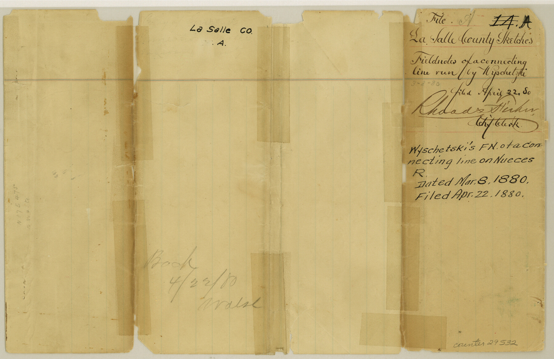
La Salle County Sketch File A
[Field notes of a connecting line on Nueces River]
-
Map/Doc
29532
-
Collection
General Map Collection
-
Object Dates
1880/3/8 (Creation Date)
1880/4/22 (File Date)
1880/3/8 (Correspondence Date)
1879/12/29 (Survey Date)
1880/3/8 (Survey Date)
-
People and Organizations
A. Wyschetzki (Surveyor/Engineer)
F. Hazel (Surveyor/Engineer)
Jacob Kuechler (Surveyor/Engineer)
-
Counties
La Salle
-
Subjects
Surveying Sketch File
-
Height x Width
8.1 x 12.5 inches
20.6 x 31.8 cm
-
Medium
paper, manuscript
-
Features
Nueces River
Frio River
Altito Ranch
Olmos Creek
Laredo and San Antonio Road
New San Antonio Road
Dahuy Creek
Road to Castroville
Cibolo Creek
Espio Creek
Las Raices Creek
Part of: General Map Collection
St. Louis, Brownsville & Mexico Railway Location Map from Mile 0 to Mile 20

Print $40.00
- Digital $50.00
St. Louis, Brownsville & Mexico Railway Location Map from Mile 0 to Mile 20
1906
Size 19.5 x 74.5 inches
Map/Doc 64075
Flight Mission No. BRE-3P, Frame 79, Nueces County

Print $20.00
- Digital $50.00
Flight Mission No. BRE-3P, Frame 79, Nueces County
1956
Size 18.6 x 22.5 inches
Map/Doc 86820
Val Verde County Sketch File 40A

Print $4.00
- Digital $50.00
Val Verde County Sketch File 40A
1939
Size 11.3 x 8.9 inches
Map/Doc 39307
Franklin County Sketch File 1c

Print $4.00
- Digital $50.00
Franklin County Sketch File 1c
1853
Size 10.3 x 8.1 inches
Map/Doc 23010
Grimes County Sketch File 4

Print $4.00
- Digital $50.00
Grimes County Sketch File 4
1872
Size 12.7 x 8.0 inches
Map/Doc 24635
Gaines County Rolled Sketch 17

Print $20.00
- Digital $50.00
Gaines County Rolled Sketch 17
1940
Size 24.5 x 17.8 inches
Map/Doc 5934
Galveston County NRC Article 33.136 Sketch 94

Print $72.00
Galveston County NRC Article 33.136 Sketch 94
2024
Map/Doc 97293

Cass County Working Sketch 45

Print $20.00
- Digital $50.00
Cass County Working Sketch 45
1989
Size 21.3 x 30.1 inches
Map/Doc 67948
Coleman County Working Sketch 14

Print $20.00
- Digital $50.00
Coleman County Working Sketch 14
1952
Size 27.8 x 21.2 inches
Map/Doc 68080
Coke County Sketch File 35

Print $6.00
- Digital $50.00
Coke County Sketch File 35
1967
Size 14.2 x 8.6 inches
Map/Doc 18649
Shelby County Sketch File 1

Print $4.00
- Digital $50.00
Shelby County Sketch File 1
1848
Size 12.6 x 8.0 inches
Map/Doc 36591
You may also like
Fort Bend County Working Sketch 22

Print $20.00
- Digital $50.00
Fort Bend County Working Sketch 22
1968
Size 37.4 x 37.3 inches
Map/Doc 69228
Mexico and Internal Provinces

Print $20.00
Mexico and Internal Provinces
1822
Size 17.8 x 22.5 inches
Map/Doc 76189
Willacy County Boundary File 2

Print $16.00
- Digital $50.00
Willacy County Boundary File 2
Size 11.0 x 8.7 inches
Map/Doc 59967
Andrews County Working Sketch 30

Print $40.00
- Digital $50.00
Andrews County Working Sketch 30
1989
Size 34.2 x 48.0 inches
Map/Doc 67076
San Jacinto County Sketch File 11

Print $4.00
San Jacinto County Sketch File 11
1859
Size 9.4 x 7.3 inches
Map/Doc 35718
Pecos County Working Sketch 128

Print $20.00
- Digital $50.00
Pecos County Working Sketch 128
1975
Size 20.4 x 21.5 inches
Map/Doc 71602
Henderson County Rolled Sketch 11

Print $20.00
- Digital $50.00
Henderson County Rolled Sketch 11
1915
Size 29.4 x 42.6 inches
Map/Doc 75955
Flight Mission No. DCL-7C, Frame 14, Kenedy County

Print $20.00
- Digital $50.00
Flight Mission No. DCL-7C, Frame 14, Kenedy County
1943
Size 15.3 x 15.2 inches
Map/Doc 86006
Wilbarger County Sketch File 8

Print $4.00
- Digital $50.00
Wilbarger County Sketch File 8
1885
Size 14.2 x 8.6 inches
Map/Doc 40179
General Highway Map, Concho County, Texas

Print $20.00
- Digital $50.00
General Highway Map, Concho County, Texas
1954
Size 18.7 x 25.8 inches
Map/Doc 92551
Coke County Rolled Sketch 16A

Print $20.00
- Digital $50.00
Coke County Rolled Sketch 16A
Size 32.3 x 30.4 inches
Map/Doc 5518
Uvalde County Sketch File 19

Print $4.00
- Digital $50.00
Uvalde County Sketch File 19
1882
Size 10.6 x 8.6 inches
Map/Doc 39000