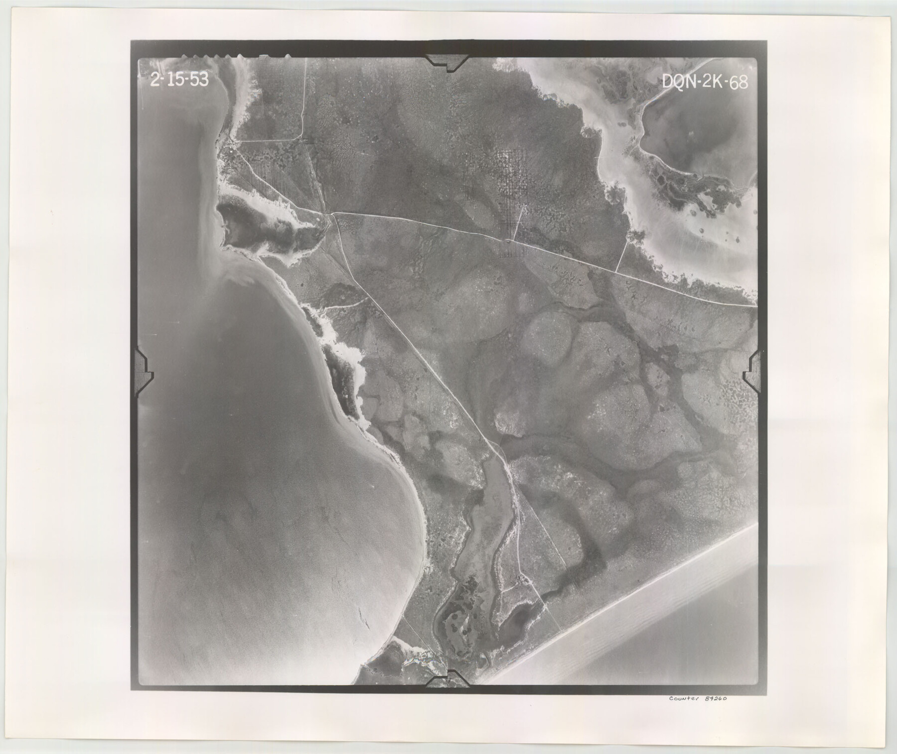
Flight Mission No. DQN-2K, Frame 68, Calhoun County
DQN-2K-68
-
Map/Doc
84260
-
Collection
General Map Collection
-
Object Dates
1953/2/15 (Creation Date)
-
People and Organizations
U. S. Department of Agriculture (Publisher)
-
Counties
Calhoun
-
Subjects
Aerial Photograph
-
Height x Width
18.6 x 22.2 inches
47.2 x 56.4 cm
-
Comments
Flown by Aero Exploration Company of Tulsa, Oklahoma.
Part of: General Map Collection
United States - Gulf Coast - From Latitude 26° 33' to the Rio Grande Texas

Print $20.00
- Digital $50.00
United States - Gulf Coast - From Latitude 26° 33' to the Rio Grande Texas
1918
Size 27.7 x 18.2 inches
Map/Doc 72850
Coke County Boundary File Index

Print $2.00
- Digital $50.00
Coke County Boundary File Index
Size 8.9 x 14.2 inches
Map/Doc 65461
Flight Mission No. DCL-6C, Frame 26, Kenedy County

Print $20.00
- Digital $50.00
Flight Mission No. DCL-6C, Frame 26, Kenedy County
1943
Size 18.7 x 22.5 inches
Map/Doc 85883
Johnson County Working Sketch 10

Print $20.00
- Digital $50.00
Johnson County Working Sketch 10
1953
Size 26.2 x 37.1 inches
Map/Doc 66623
Grayson County Working Sketch 11

Print $20.00
- Digital $50.00
Grayson County Working Sketch 11
1951
Size 27.9 x 24.3 inches
Map/Doc 63250
Crockett County Rolled Sketch 95

Print $20.00
- Digital $50.00
Crockett County Rolled Sketch 95
1985
Size 24.6 x 28.8 inches
Map/Doc 5634

Terrell County Working Sketch 49

Print $20.00
- Digital $50.00
Terrell County Working Sketch 49
1958
Size 22.2 x 37.5 inches
Map/Doc 62142
Flight Mission No. CUG-1P, Frame 72, Kleberg County

Print $20.00
- Digital $50.00
Flight Mission No. CUG-1P, Frame 72, Kleberg County
1956
Size 18.6 x 22.1 inches
Map/Doc 86137
Aransas County Sketch File 21d

Print $4.00
- Digital $50.00
Aransas County Sketch File 21d
Size 14.4 x 8.9 inches
Map/Doc 13164
Flight Mission No. DAG-16K, Frame 72, Matagorda County

Print $20.00
- Digital $50.00
Flight Mission No. DAG-16K, Frame 72, Matagorda County
1952
Size 16.5 x 16.4 inches
Map/Doc 86318
Maps of Gulf Intracoastal Waterway, Texas - Sabine River to the Rio Grande and connecting waterways including ship channels

Print $20.00
- Digital $50.00
Maps of Gulf Intracoastal Waterway, Texas - Sabine River to the Rio Grande and connecting waterways including ship channels
1966
Size 14.6 x 22.2 inches
Map/Doc 61976
You may also like
Ward County Working Sketch 7

Print $20.00
- Digital $50.00
Ward County Working Sketch 7
1946
Size 24.0 x 22.6 inches
Map/Doc 72313
Denton County Sketch File 34

Print $4.00
- Digital $50.00
Denton County Sketch File 34
1880
Size 8.9 x 5.4 inches
Map/Doc 20764
Hudspeth County Rolled Sketch 78

Print $20.00
- Digital $50.00
Hudspeth County Rolled Sketch 78
2010
Size 18.4 x 24.5 inches
Map/Doc 93290
Colorado County Sketch File 14

Print $8.00
- Digital $50.00
Colorado County Sketch File 14
1874
Size 12.8 x 8.0 inches
Map/Doc 18939
State Land For Sale On Mustang Island by General Land Office

Print $20.00
- Digital $50.00
State Land For Sale On Mustang Island by General Land Office
1910
Size 21.7 x 17.5 inches
Map/Doc 385
Frio County Working Sketch 21

Print $20.00
- Digital $50.00
Frio County Working Sketch 21
1985
Size 46.1 x 43.5 inches
Map/Doc 69295
Nolan County Sketch File 4

Print $20.00
- Digital $50.00
Nolan County Sketch File 4
Size 38.8 x 33.0 inches
Map/Doc 10557
Garza County Sketch File D

Print $20.00
- Digital $50.00
Garza County Sketch File D
1901
Size 18.4 x 12.2 inches
Map/Doc 11550
[University Lands]
![62966, [University Lands], General Map Collection](https://historictexasmaps.com/wmedia_w700/maps/62966.tif.jpg)
Print $40.00
- Digital $50.00
[University Lands]
1885
Size 52.9 x 39.5 inches
Map/Doc 62966
Corpus Christi Bay, Texas

Print $40.00
- Digital $50.00
Corpus Christi Bay, Texas
1867
Size 31.9 x 48.8 inches
Map/Doc 73468
Palo Pinto County Working Sketch Graphic Index

Print $20.00
- Digital $50.00
Palo Pinto County Working Sketch Graphic Index
1941
Map/Doc 76659
Irion County Rolled Sketch 11

Print $40.00
- Digital $50.00
Irion County Rolled Sketch 11
1945
Size 38.5 x 52.9 inches
Map/Doc 9252