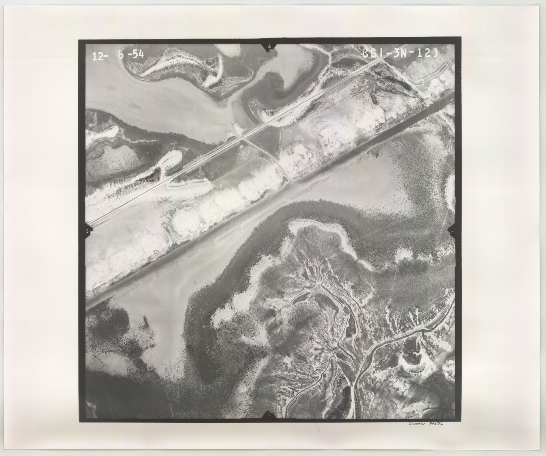
Flight Mission No. CGI-3N, Frame 123, Cameron County
CGI-3N-123
-
Map/Doc
84596
-
Collection
General Map Collection
-
Object Dates
1954/12/6 (Creation Date)
-
People and Organizations
U. S. Department of Agriculture (Publisher)
-
Counties
Cameron
-
Subjects
Aerial Photograph
-
Height x Width
18.6 x 22.2 inches
47.2 x 56.4 cm
-
Comments
Flown by Puckett Aerial Surveys, Inc. of Jackson, Mississippi.
Part of: General Map Collection
El Paso County Rolled Sketch 51

Print $40.00
- Digital $50.00
El Paso County Rolled Sketch 51
Size 42.9 x 75.3 inches
Map/Doc 8877

McCulloch County Sketch File 10

Print $8.00
- Digital $50.00
McCulloch County Sketch File 10
1920
Size 11.1 x 8.7 inches
Map/Doc 31187
Map of Maryland, Virginia, North Carolina and South Carolina

Print $20.00
- Digital $50.00
Map of Maryland, Virginia, North Carolina and South Carolina
1885
Size 12.2 x 9.0 inches
Map/Doc 93517
Crosby County Sketch File 34

Print $4.00
- Digital $50.00
Crosby County Sketch File 34
1892
Size 11.3 x 8.9 inches
Map/Doc 20104
Flight Mission No. DCL-6C, Frame 178, Kenedy County

Print $20.00
- Digital $50.00
Flight Mission No. DCL-6C, Frame 178, Kenedy County
1943
Size 18.7 x 22.4 inches
Map/Doc 85990

Travis County Sketch File 4

Print $9.00
- Digital $50.00
Travis County Sketch File 4
1853
Size 13.1 x 8.2 inches
Map/Doc 38275
Bell County Working Sketch 16

Print $20.00
- Digital $50.00
Bell County Working Sketch 16
1983
Size 46.5 x 35.4 inches
Map/Doc 67356
Navigation District Property Map, Port of Houston, Harris County Houston Ship Channel Navigation District, Houston, Texas

Print $40.00
- Digital $50.00
Navigation District Property Map, Port of Houston, Harris County Houston Ship Channel Navigation District, Houston, Texas
1955
Size 26.9 x 68.7 inches
Map/Doc 2103
El Paso County Boundary File 7a

Print $20.00
- Digital $50.00
El Paso County Boundary File 7a
Size 14.2 x 8.3 inches
Map/Doc 53094
Sterling County Rolled Sketch 34

Print $20.00
- Digital $50.00
Sterling County Rolled Sketch 34
1960
Size 16.0 x 21.8 inches
Map/Doc 7858
You may also like
Lee County Working Sketch 12

Print $20.00
- Digital $50.00
Lee County Working Sketch 12
1980
Size 12.3 x 16.3 inches
Map/Doc 70391
[Map of Nacogdoches County]
![93368, [Map of Nacogdoches County], General Map Collection](https://historictexasmaps.com/wmedia_w700/maps/93368-1.tif.jpg)
Print $40.00
- Digital $50.00
[Map of Nacogdoches County]
1840
Size 79.3 x 38.0 inches
Map/Doc 93368
Lavaca County

Print $40.00
- Digital $50.00
Lavaca County
1946
Size 52.6 x 44.1 inches
Map/Doc 95566
![91820, [Block M-19], Twichell Survey Records](https://historictexasmaps.com/wmedia_w700/maps/91820-1.tif.jpg)
Comal County Rolled Sketch 5

Print $20.00
- Digital $50.00
Comal County Rolled Sketch 5
1985
Size 30.6 x 26.7 inches
Map/Doc 5540
Red River County Working Sketch 55

Print $20.00
- Digital $50.00
Red River County Working Sketch 55
1971
Size 29.4 x 31.1 inches
Map/Doc 72038
Galveston County NRC Article 33.136 Sketch 63

Print $42.00
- Digital $50.00
Galveston County NRC Article 33.136 Sketch 63
2010
Size 36.0 x 24.0 inches
Map/Doc 95003
The Republic County of Red River. Spring 1842

Print $20.00
The Republic County of Red River. Spring 1842
2020
Size 21.0 x 21.7 inches
Map/Doc 96254
General Highway Map, Coryell County, Texas

Print $20.00
General Highway Map, Coryell County, Texas
1940
Size 18.4 x 25.4 inches
Map/Doc 79059
Matagorda County Rolled Sketch 39

Print $40.00
- Digital $50.00
Matagorda County Rolled Sketch 39
1973
Size 24.4 x 114.0 inches
Map/Doc 10743
Flight Mission No. DQO-8K, Frame 64, Galveston County

Print $20.00
- Digital $50.00
Flight Mission No. DQO-8K, Frame 64, Galveston County
1952
Size 18.6 x 22.4 inches
Map/Doc 85168
Garza County Rolled Sketch 17

Print $20.00
- Digital $50.00
Garza County Rolled Sketch 17
1959
Size 32.3 x 37.6 inches
Map/Doc 6003