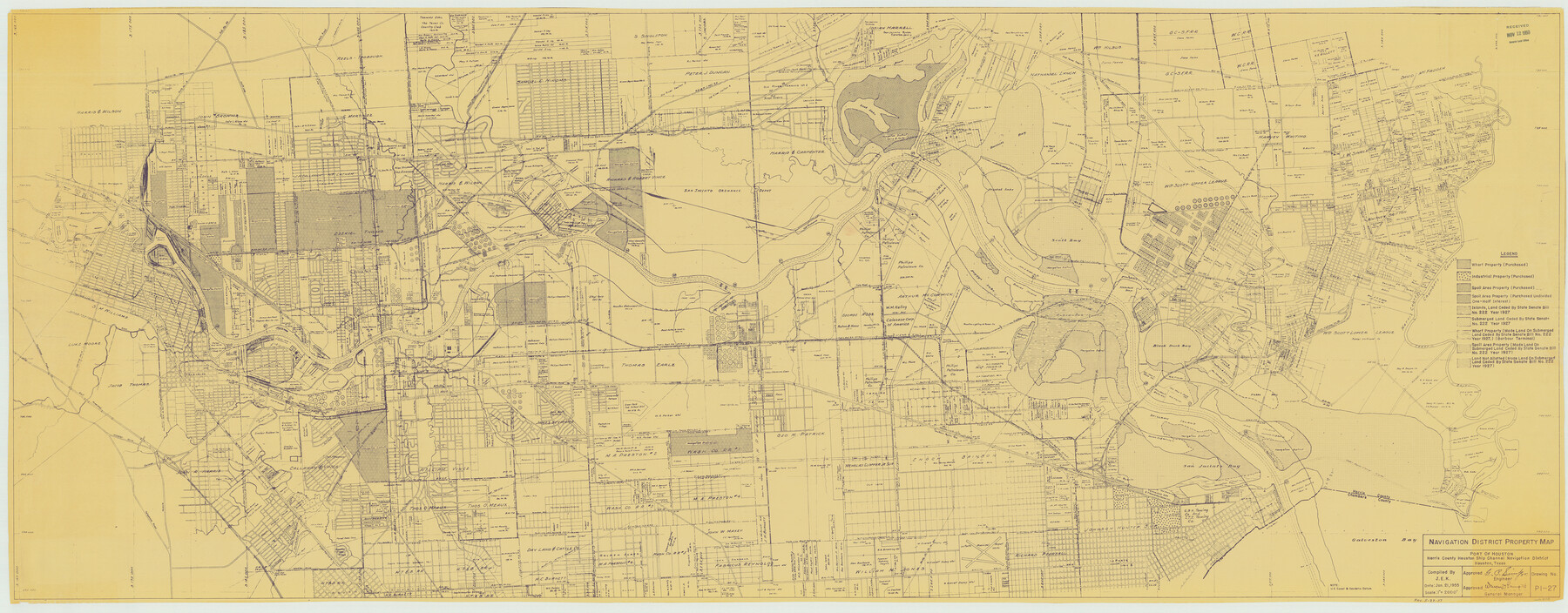
Navigation District Property Map, Port of Houston, Harris County Houston Ship Channel Navigation District, Houston, Texas
N-2-91
-
Map/Doc
2103
-
Collection
General Map Collection
-
Object Dates
1955 (Creation Date)
-
People and Organizations
Harris County Houston Ship Channel Navig. (Author)
-
Counties
Harris
-
Subjects
Nautical Charts
-
Height x Width
26.9 x 68.7 inches
68.3 x 174.5 cm
-
Comments
Revised May 22, 1957.
Part of: General Map Collection
Brewster County Rolled Sketch 134

Print $20.00
- Digital $50.00
Brewster County Rolled Sketch 134
Size 19.0 x 24.9 inches
Map/Doc 5303
Travis County Rolled Sketch 26

Print $20.00
- Digital $50.00
Travis County Rolled Sketch 26
1945
Size 24.6 x 25.2 inches
Map/Doc 8028
Amistad International Reservoir on Rio Grande 96

Print $20.00
- Digital $50.00
Amistad International Reservoir on Rio Grande 96
1950
Size 28.5 x 41.0 inches
Map/Doc 75527
Map of Grimes Co.

Print $20.00
- Digital $50.00
Map of Grimes Co.
1881
Size 32.6 x 17.5 inches
Map/Doc 66843
Sketch from old map (authority unknown) showing a portion of the Rio Grande River and harbor of Brazos Santiago, Texas

Print $20.00
- Digital $50.00
Sketch from old map (authority unknown) showing a portion of the Rio Grande River and harbor of Brazos Santiago, Texas
1887
Size 18.4 x 24.1 inches
Map/Doc 73004
Lamar County Working Sketch 4

Print $20.00
- Digital $50.00
Lamar County Working Sketch 4
1920
Size 14.4 x 25.1 inches
Map/Doc 70265
DeWitt County Working Sketch 13

Print $20.00
- Digital $50.00
DeWitt County Working Sketch 13
1986
Size 37.6 x 40.9 inches
Map/Doc 68603
Map of Marion County

Print $20.00
- Digital $50.00
Map of Marion County
1901
Size 31.1 x 41.9 inches
Map/Doc 66915
Map of subdivision of submerged land in the Gulf of Mexico fronting on Matagorda Island and Peninsula

Print $40.00
- Digital $50.00
Map of subdivision of submerged land in the Gulf of Mexico fronting on Matagorda Island and Peninsula
1940
Size 28.3 x 60.5 inches
Map/Doc 2928
Flight Mission No. DQN-1K, Frame 104, Calhoun County

Print $20.00
- Digital $50.00
Flight Mission No. DQN-1K, Frame 104, Calhoun County
1953
Size 18.4 x 22.1 inches
Map/Doc 84171
Flight Mission No. DAG-21K, Frame 116, Matagorda County

Print $20.00
- Digital $50.00
Flight Mission No. DAG-21K, Frame 116, Matagorda County
1952
Size 18.6 x 22.3 inches
Map/Doc 86439
Jeff Davis County Working Sketch 23

Print $20.00
- Digital $50.00
Jeff Davis County Working Sketch 23
1958
Size 41.5 x 30.7 inches
Map/Doc 66518
You may also like
Limestone County Sketch File 21

Print $40.00
- Digital $50.00
Limestone County Sketch File 21
1922
Size 17.0 x 12.3 inches
Map/Doc 30199
Rand, McNally & Co.'s Texas

Print $20.00
- Digital $50.00
Rand, McNally & Co.'s Texas
1895
Size 21.2 x 28.6 inches
Map/Doc 95885
Map of the Surveyed Part of Young District

Print $40.00
- Digital $50.00
Map of the Surveyed Part of Young District
1860
Size 56.3 x 32.6 inches
Map/Doc 87373
[Plat and field notes of 3.107 acre tract for Clement Cove Harbor Company]
![60397, [Plat and field notes of 3.107 acre tract for Clement Cove Harbor Company], General Map Collection](https://historictexasmaps.com/wmedia_w700/maps/60397-1.tif.jpg)
Print $20.00
- Digital $50.00
[Plat and field notes of 3.107 acre tract for Clement Cove Harbor Company]
1987
Size 24.2 x 36.5 inches
Map/Doc 60397
Knox County Working Sketch 7

Print $3.00
- Digital $50.00
Knox County Working Sketch 7
1941
Size 11.1 x 9.1 inches
Map/Doc 70249
Medina County Working Sketch 10

Print $20.00
- Digital $50.00
Medina County Working Sketch 10
1960
Size 37.4 x 32.9 inches
Map/Doc 70925
Wood County Working Sketch Graphic Index

Print $20.00
- Digital $50.00
Wood County Working Sketch Graphic Index
1942
Size 40.6 x 36.4 inches
Map/Doc 76746
Galveston County

Print $40.00
- Digital $50.00
Galveston County
1939
Size 42.9 x 54.9 inches
Map/Doc 77287
Andrews County Sketch File 15

Print $24.00
- Digital $50.00
Andrews County Sketch File 15
Size 11.2 x 8.9 inches
Map/Doc 12887
Young County Rolled Sketch 12

Print $20.00
- Digital $50.00
Young County Rolled Sketch 12
Size 24.2 x 17.9 inches
Map/Doc 8300
Crosby County

Print $20.00
- Digital $50.00
Crosby County
1927
Size 36.1 x 32.4 inches
Map/Doc 77255
Webb County Rolled Sketch 21

Print $20.00
- Digital $50.00
Webb County Rolled Sketch 21
1930
Size 32.9 x 23.0 inches
Map/Doc 8183