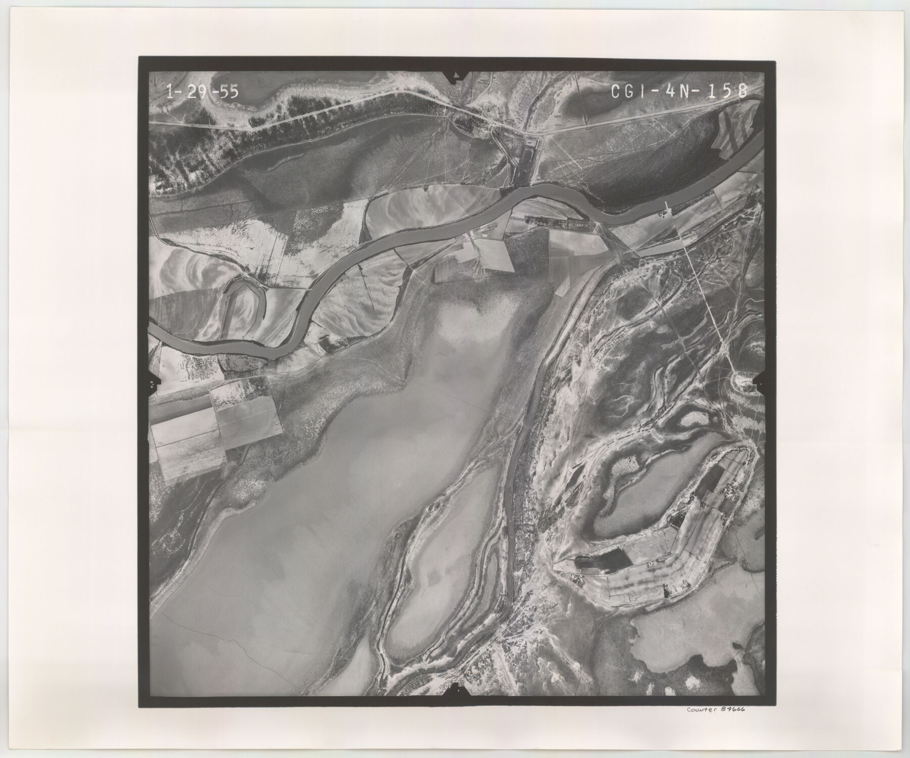
Flight Mission No. CGI-4N, Frame 158, Cameron County
CGI-4N-158
-
Map/Doc
84666
-
Collection
General Map Collection
-
Object Dates
1955/1/29 (Creation Date)
-
People and Organizations
U. S. Department of Agriculture (Publisher)
-
Counties
Cameron
-
Subjects
Aerial Photograph
-
Height x Width
18.5 x 22.2 inches
47.0 x 56.4 cm
-
Comments
Flown by Puckett Aerial Surveys, Inc. of Jackson, Mississippi.
Part of: General Map Collection
Wilbarger County Boundary File 1

Print $52.00
- Digital $50.00
Wilbarger County Boundary File 1
Size 8.9 x 5.6 inches
Map/Doc 59916
Galveston County Sketch File 32

Print $20.00
- Digital $50.00
Galveston County Sketch File 32
1916
Size 15.2 x 34.3 inches
Map/Doc 11535
Map of a part of Laguna Madre showing subdivision for mineral development

Print $20.00
- Digital $50.00
Map of a part of Laguna Madre showing subdivision for mineral development
1950
Size 40.7 x 26.9 inches
Map/Doc 2917
Dimmit County Boundary File 6

Print $32.00
- Digital $50.00
Dimmit County Boundary File 6
Size 31.1 x 7.0 inches
Map/Doc 52580
Webb County Sketch File 4-2

Print $20.00
- Digital $50.00
Webb County Sketch File 4-2
1925
Size 26.3 x 18.1 inches
Map/Doc 12615
Terrell County Working Sketch 34

Print $20.00
- Digital $50.00
Terrell County Working Sketch 34
1945
Size 26.3 x 37.7 inches
Map/Doc 62126
Brazoria County Working Sketch 22

Print $20.00
- Digital $50.00
Brazoria County Working Sketch 22
1959
Size 27.0 x 25.3 inches
Map/Doc 67507
Stonewall County Rolled Sketch 27

Print $20.00
- Digital $50.00
Stonewall County Rolled Sketch 27
Size 31.0 x 44.2 inches
Map/Doc 9966
Hutchinson County Sketch File 41

Print $14.00
- Digital $50.00
Hutchinson County Sketch File 41
1955
Size 9.8 x 8.5 inches
Map/Doc 27298
Ochiltree County

Print $20.00
- Digital $50.00
Ochiltree County
1908
Size 40.9 x 37.1 inches
Map/Doc 16782
Nueces County Sketch File 72

Print $13.00
- Digital $50.00
Nueces County Sketch File 72
1991
Size 11.1 x 8.8 inches
Map/Doc 33020
Edwards County Sketch File 4

Print $5.00
- Digital $50.00
Edwards County Sketch File 4
Size 9.5 x 11.0 inches
Map/Doc 21680
You may also like
Robertson Co.

Print $20.00
- Digital $50.00
Robertson Co.
1945
Size 46.3 x 37.2 inches
Map/Doc 77409
Red River County Working Sketch 50

Print $20.00
- Digital $50.00
Red River County Working Sketch 50
1970
Size 24.6 x 24.1 inches
Map/Doc 72033
[E. L. & R. R. RR. Co. Block D7 and G. H. & H. RR. Co. Block A1]
![91859, [E. L. & R. R. RR. Co. Block D7 and G. H. & H. RR. Co. Block A1], Twichell Survey Records](https://historictexasmaps.com/wmedia_w700/maps/91859-1.tif.jpg)
Print $20.00
- Digital $50.00
[E. L. & R. R. RR. Co. Block D7 and G. H. & H. RR. Co. Block A1]
Size 19.0 x 25.2 inches
Map/Doc 91859
[J. Poitevent Blk. 1]
![90132, [J. Poitevent Blk. 1], Twichell Survey Records](https://historictexasmaps.com/wmedia_w700/maps/90132-1.tif.jpg)
Print $3.00
- Digital $50.00
[J. Poitevent Blk. 1]
Size 10.7 x 13.3 inches
Map/Doc 90132

Wheeler County Working Sketch 8

Print $40.00
- Digital $50.00
Wheeler County Working Sketch 8
1972
Size 59.4 x 42.0 inches
Map/Doc 72497
[Texas & Pacific Block 32, T-4-N showing ties to triangulation stations]
![90142, [Texas & Pacific Block 32, T-4-N showing ties to triangulation stations], Twichell Survey Records](https://historictexasmaps.com/wmedia_w700/maps/90142-1.tif.jpg)
Print $20.00
- Digital $50.00
[Texas & Pacific Block 32, T-4-N showing ties to triangulation stations]
Size 20.4 x 11.6 inches
Map/Doc 90142
Fort Bend County Working Sketch 22

Print $20.00
- Digital $50.00
Fort Bend County Working Sketch 22
1968
Size 37.4 x 37.3 inches
Map/Doc 69228
Wichita County Sketch File 18

Print $6.00
- Digital $50.00
Wichita County Sketch File 18
1890
Size 14.0 x 8.6 inches
Map/Doc 40099
Morris County Rolled Sketch 2A

Print $20.00
- Digital $50.00
Morris County Rolled Sketch 2A
Size 22.7 x 17.6 inches
Map/Doc 10268
Taylor County Rolled Sketch 24

Print $20.00
- Digital $50.00
Taylor County Rolled Sketch 24
Size 19.6 x 22.7 inches
Map/Doc 7916
Map of the Denison & South Eastern Rwy. showing the Location & Land Lines of the First Twenty-One Miles

Print $40.00
- Digital $50.00
Map of the Denison & South Eastern Rwy. showing the Location & Land Lines of the First Twenty-One Miles
1878
Size 24.1 x 70.4 inches
Map/Doc 64023