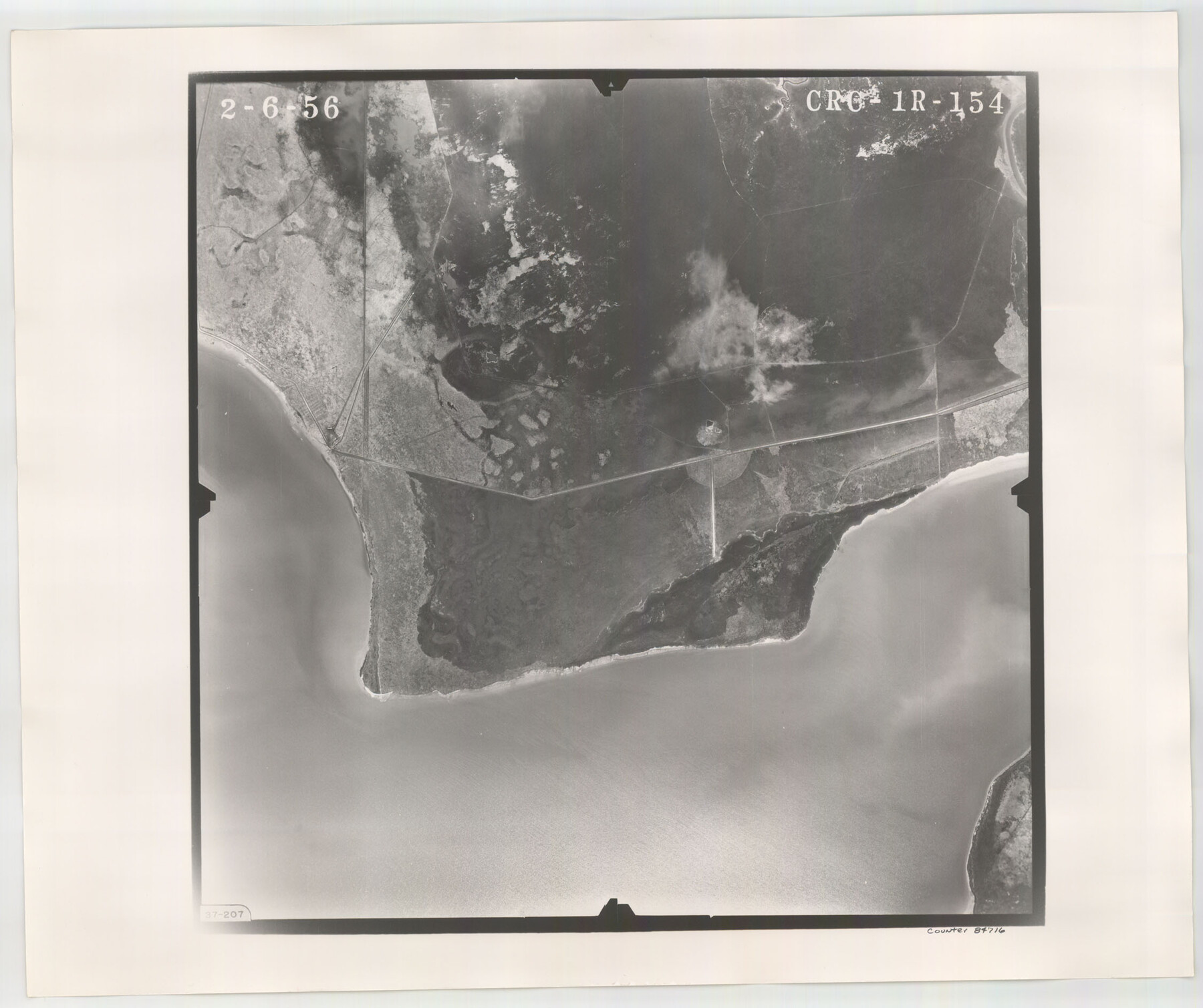
Flight Mission No. CRC-1R, Frame 154, Chambers County
CRC-1R-154
-
Map/Doc
84716
-
Collection
General Map Collection
-
Object Dates
1956/2/6 (Creation Date)
-
People and Organizations
U. S. Department of Agriculture (Publisher)
-
Counties
Chambers
-
Subjects
Aerial Photograph
-
Height x Width
18.9 x 22.5 inches
48.0 x 57.2 cm
-
Comments
Flown by Jack Ammann Photogrammetric Engineers, Inc. of San Antonio, Texas.
Part of: General Map Collection
Smith County Working Sketch 14

Print $40.00
- Digital $50.00
Smith County Working Sketch 14
1966
Size 34.9 x 49.2 inches
Map/Doc 63899
Bandera County Rolled Sketch 13

Print $20.00
- Digital $50.00
Bandera County Rolled Sketch 13
2018
Size 24.1 x 20.5 inches
Map/Doc 95305
Tyler County Rolled Sketch 11

Print $20.00
- Digital $50.00
Tyler County Rolled Sketch 11
Size 34.2 x 36.4 inches
Map/Doc 10033
Montgomery County

Print $20.00
- Digital $50.00
Montgomery County
1901
Size 42.2 x 47.4 inches
Map/Doc 66939
Where Did Columbus Discover America?

Where Did Columbus Discover America?
1986
Size 14.7 x 20.6 inches
Map/Doc 96837
Crockett County Rolled Sketch 46B

Print $20.00
- Digital $50.00
Crockett County Rolled Sketch 46B
1954
Size 24.7 x 13.9 inches
Map/Doc 5594
Val Verde County Working Sketch 37

Print $20.00
- Digital $50.00
Val Verde County Working Sketch 37
1943
Size 27.1 x 31.1 inches
Map/Doc 72172
Gaines County Rolled Sketch 15B

Print $40.00
- Digital $50.00
Gaines County Rolled Sketch 15B
Size 207.7 x 26.0 inches
Map/Doc 9037
Live Oak County Working Sketch 6

Print $20.00
- Digital $50.00
Live Oak County Working Sketch 6
1930
Size 17.6 x 21.6 inches
Map/Doc 70591
Brazoria County Rolled Sketch 49

Print $20.00
- Digital $50.00
Brazoria County Rolled Sketch 49
1948
Size 23.7 x 36.3 inches
Map/Doc 5183
Brewster County Working Sketch 45

Print $40.00
- Digital $50.00
Brewster County Working Sketch 45
1948
Size 53.6 x 36.1 inches
Map/Doc 67579
Travis County Working Sketch 48

Print $40.00
- Digital $50.00
Travis County Working Sketch 48
1981
Size 53.7 x 40.3 inches
Map/Doc 69432
You may also like
Ward County Rolled Sketch 24C

Print $40.00
- Digital $50.00
Ward County Rolled Sketch 24C
1967
Size 54.8 x 24.4 inches
Map/Doc 10114
[Abstract Numbering Register - Kaufman through Reagan]
![82967, [Abstract Numbering Register - Kaufman through Reagan], General Map Collection](https://historictexasmaps.com/wmedia_w700/pdf_converted_jpg/qi_pdf_thumbnail_30614.jpg)
[Abstract Numbering Register - Kaufman through Reagan]
Map/Doc 82967
Hockley County Sketch File 13

Print $4.00
- Digital $50.00
Hockley County Sketch File 13
1914
Size 8.9 x 10.9 inches
Map/Doc 26548
Starr County Sketch File 49

Print $20.00
- Digital $50.00
Starr County Sketch File 49
1951
Size 24.9 x 17.2 inches
Map/Doc 12346
Map of Houston, Harris County, Texas

Print $20.00
- Digital $50.00
Map of Houston, Harris County, Texas
1900
Size 38.5 x 32.0 inches
Map/Doc 93390
Edwards County Rolled Sketch O

Print $20.00
- Digital $50.00
Edwards County Rolled Sketch O
Size 13.6 x 18.3 inches
Map/Doc 5820
Anderson County Sketch File 6

Print $4.00
- Digital $50.00
Anderson County Sketch File 6
Size 12.5 x 8.2 inches
Map/Doc 12753
Cameron County Rolled Sketch 32

Print $40.00
- Digital $50.00
Cameron County Rolled Sketch 32
1981
Size 136.6 x 18.1 inches
Map/Doc 8579
Crockett County Working Sketch 3

Print $20.00
- Digital $50.00
Crockett County Working Sketch 3
Size 21.5 x 16.5 inches
Map/Doc 68336
Archer County Sketch File 31

Print $8.00
- Digital $50.00
Archer County Sketch File 31
2012
Size 11.0 x 8.5 inches
Map/Doc 93322
Winkler County Sketch File 13

Print $20.00
- Digital $50.00
Winkler County Sketch File 13
Size 15.9 x 19.7 inches
Map/Doc 12697
Panola County Sketch File 15

Print $4.00
- Digital $50.00
Panola County Sketch File 15
1882
Size 10.3 x 8.7 inches
Map/Doc 33474